Too cold for outdoor sports? Not in Garda Trentino!
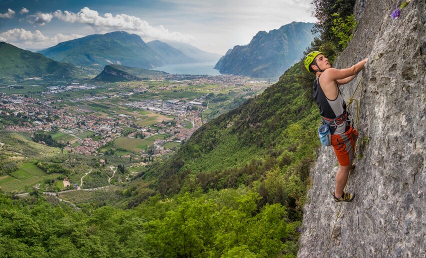
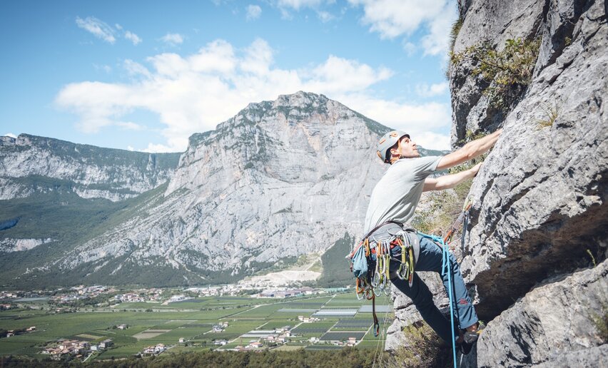
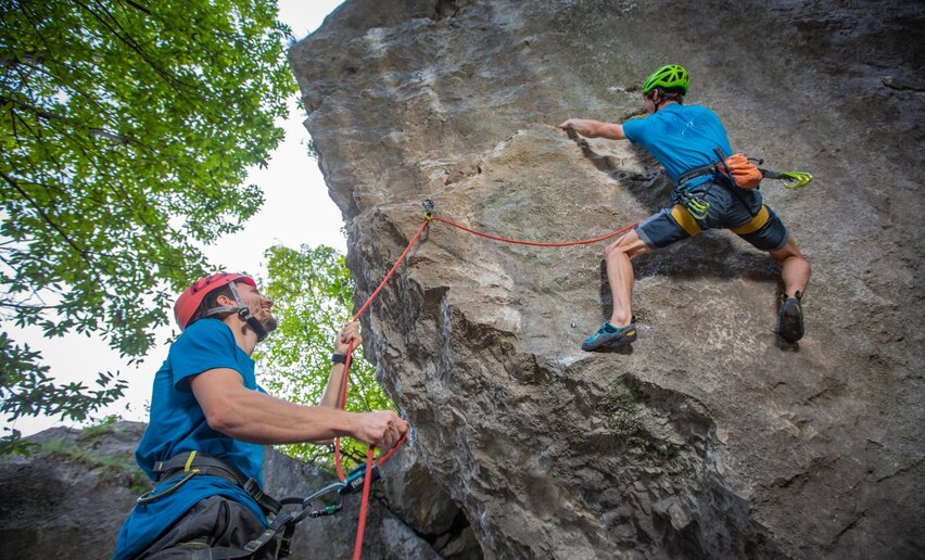
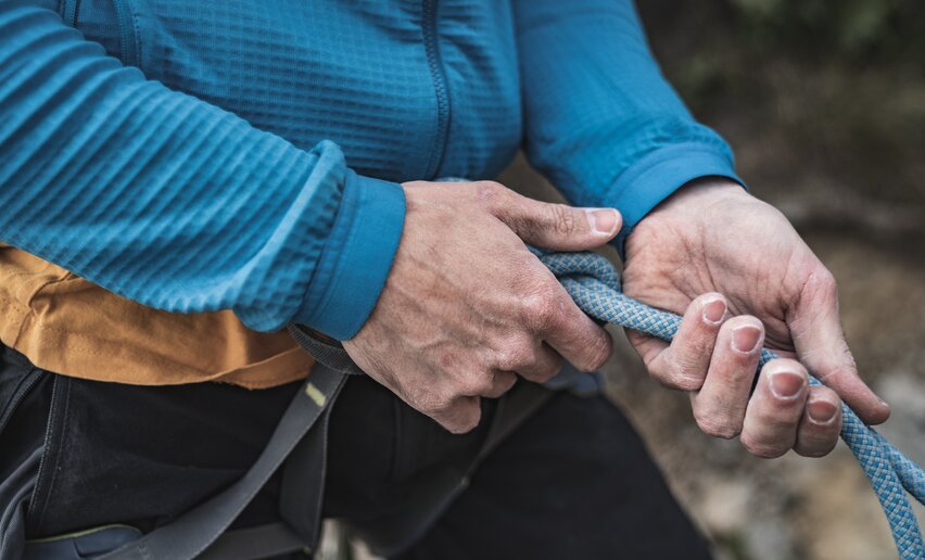
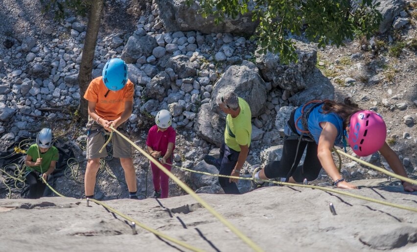
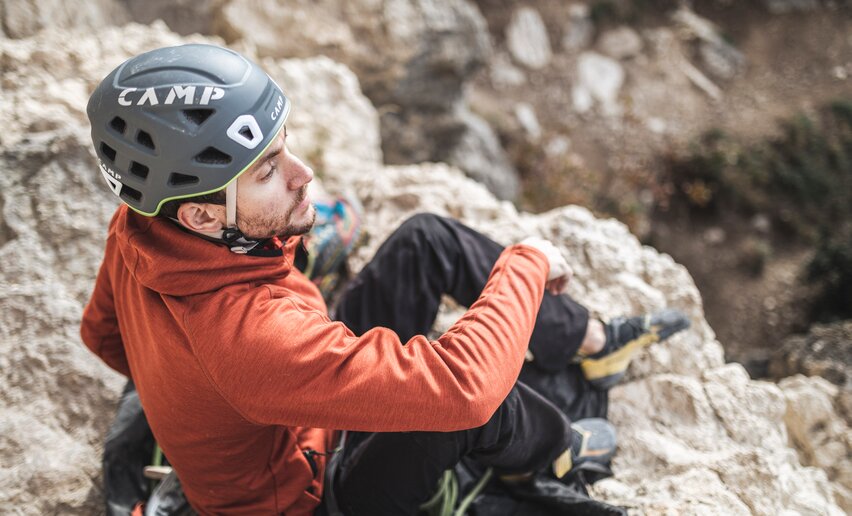
Thanks to its mild climate, nature here welcomes you even in winter — along trails winding through olive groves and woods, on scenic hikes or with a lakeside picnic. Walkers can explore the Garda Trek routes, while climbers still find sunny walls in the Sarca Valley. In Garda Trentino, winter is the perfect season for those who love to move in the open air.

, Garda Trentino")
, Garda Trentino")

, North Lake Garda Trentino")
, Garda Trentino")


, Garda Trentino")
, Garda Trentino")
, Garda Trentino")
, Garda Trentino")
, Garda Trentino")
, flickr")
 , Garda Trentino")


, Garda Trentino")
, Garda Trentino")


, Garda Trentino")


, Garda Trentino")
, Garda Trentino")


, Garda Trentino")