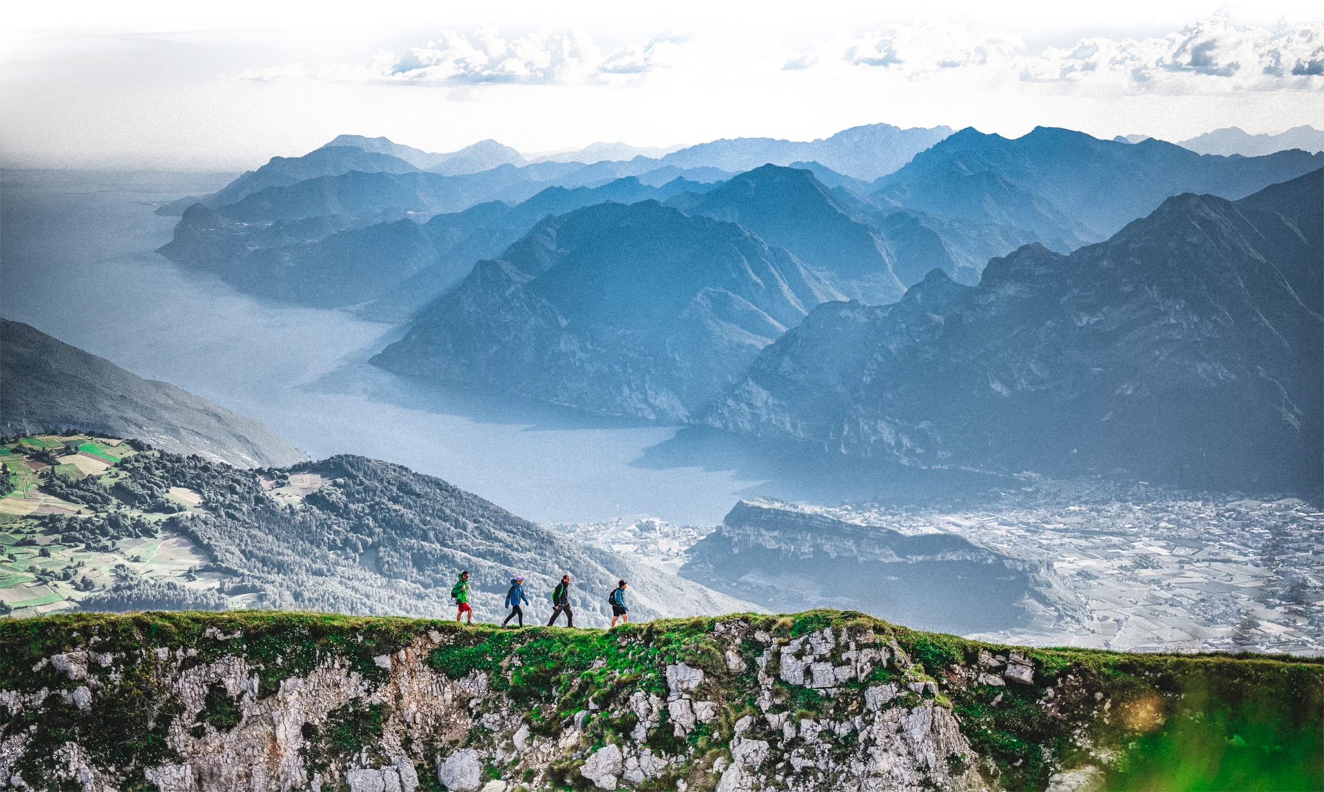
A short hike in the mountains sheer above Lake Garda following the trail of the First World War
This itinerary ,which can be extended in the direction of the Bal and Nara peaks, gives you a chance to discover some of the lesser known trails in Garda Trentino which in addition to breathtaking views also have clearly visible traces of the Great War
You can continue from Cima Nodice on a tour of the peaks which is challenging but well worth the effort. From Bocca de Lé take the trail SAT 430 which runs along the ridge linking the peaks Bal, Nara and Guil and comes down to the Passo Guil mountain pass. From there, turn right onto SAT 422 to Passo Rochetta mountain pass. From here you can go back to Pregasina along trail 422 or else continue on to Punta Larici, a spectacular viewing point with a panoramic view of all of Lake Garda. From here you head back down on SAT 422A and rejoin 422B which takes you down to the town.
For more information on routes, services (guides, mountain huts, shops etc.) and hiking friendly accommodation: Garda Trentino - +39 0464 554444
The top of Monte Nodice is scattered with trenches and defence posts in caves built during the First World War. There are even writings left on the cave walls by the soldiers!
Safety Tips
This information is subject to inevitable variations, so none of these indications are absolute. It is not entirely possible to avoid giving inexact or imprecise information, given how quickly environmental and weather conditions can change. For this reason, we decline any responsibility for changes which the user may encounter. In any case, it is advisable to check environment and weather conditions before setting out.
Caution! The trails SAT 429 e 429A are classified EE, so only suitable for experienced hikers.
On the "Scala Santa" or Holy Stairs there is a fixed rope to facilitate the ascent; the trail is fairly easy all the same and there is no need for ferrata gear.
From the church in Pregasina follow a short stretch of mule track southwards until you come to the first junction: here you turn off onto SAT 422 which heads up steeply through the woods. At the junction in Tof continue on SAT 429 until you come to the turn-off marked 429A. This stretch takes you towards the Scala Santa (where steps are cut directly into the rock) and the Nodice peak, a spectacular viewing point overlooking Lake Garda, Valle di Ledro and the surrounding peaks. Along the way you will come across what were once barracks and trenches during the First World War. Head back the way you came.
Pregasina is connected to Riva del Garda by the intercity bus line 214 (Riva - Pregasina - Bezzecca - Storo - Pieve di Bono). Unfortunately, bus runs are not frequent.
Pregasina is about 12 km from Riva del Garda. From Riva, follow directions for Valle di Ledro (strada statale 240). Shortly after you come out of the tunnel, you come to the turn-off for Pregasina on your left.
Free parking near the church in Pregasina.
You need to wear the right clothing and take the proper gear when you go hiking in the mountains. Even on relatively short easy outings make sure to take all you need so you don't run into trouble if things take an unexpected turn, for example a storm blows up or you have a sudden drop in energy levels.
What should you take when you go on a hike?
Your rucksack (for a day trip a 25/30L capacity should do) should contain:
Make sure you're wearing the right footwear for the trail and season. The going can get rough and rocky underfoot and a pair of hiking boots will protect you from sprains. When wet, a grassy slope, rocky slab or steep trail can be dangerous unless you are wearing the proper footwear.
And finally... don't forget to bring your camera! You'll need it to capture the stunning views you come across all over Garda Trentino. And if you like, you can share your memories with us at #GardaTrentino.
Emergency telephone number 112.
Every day from 01/04 to 30/09 and at weekends and during holy days it is not possible to reach Pregasina by car. Exception for guests of hotels and restaurants. Here is the free bus service timetable to reach Pregasina from Riva del Garda on Saturdays and public holidays, from 28/06 to 28/09 and on 14/08 and 15/08.

