These three bolted trails are fitted with ladders and steel cables and linked to become an easy loop above Dro.
The rocky wall on the right side of the River Sarca, between the villages of Dro and Ceniga, is babded with a system of ledges colonised by holm oak. Up until the years after the Second World War, woodcutters and charcoal burners would scale the steep walls to cut firewood and reach the woods above from where they would send tree trunks and faggots of kindling down to the valley floor by means of rudimentary but effective telpherage wires.
The base supporting the telpherage, known locally as le Cavre, gave its name to one of the via ferratas. The other gets its name “Scaloni” (stairway) from the steps made to facilitate the ascent in the most difficult sections. Taken over and refitted by the association Associazione Crozolam, this loop is more of a trail with protection than a via ferrata, but for the sake of safety you still need to wear a helmet, harness and ferrata set.


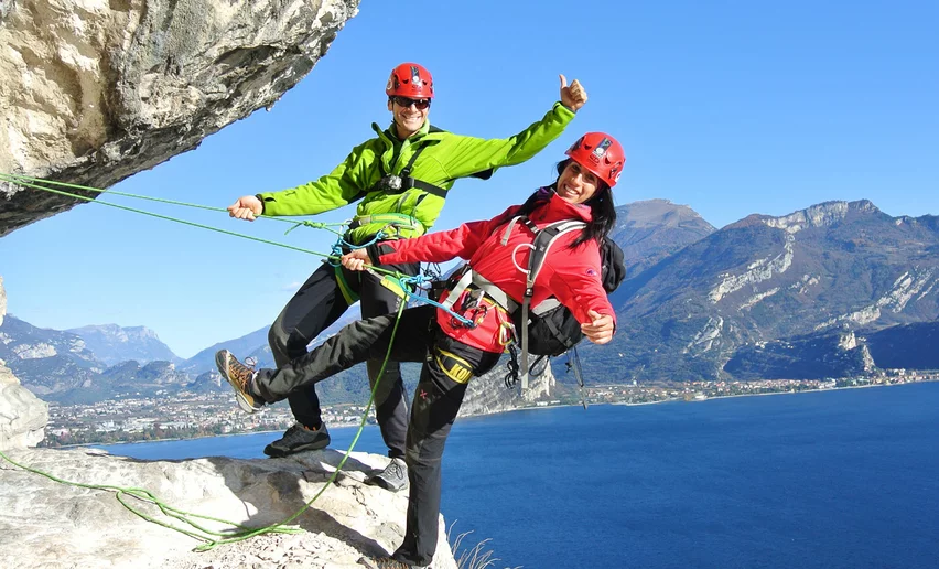
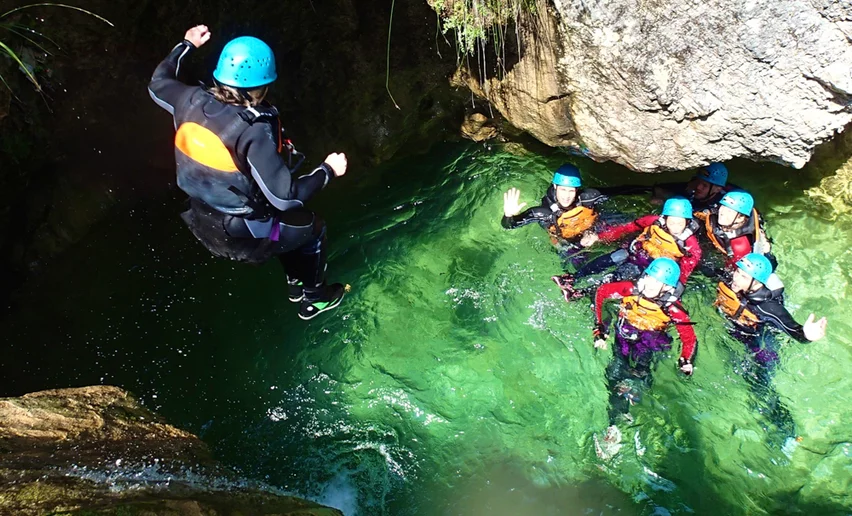
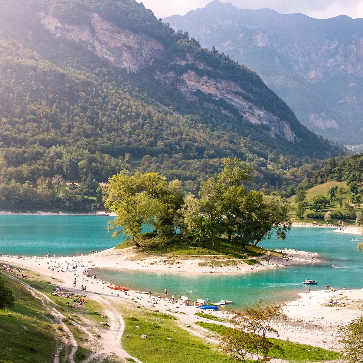
, Garda Trentino")
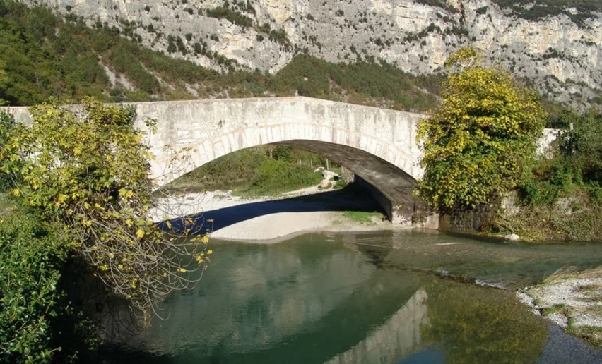
, Garda Trentino")
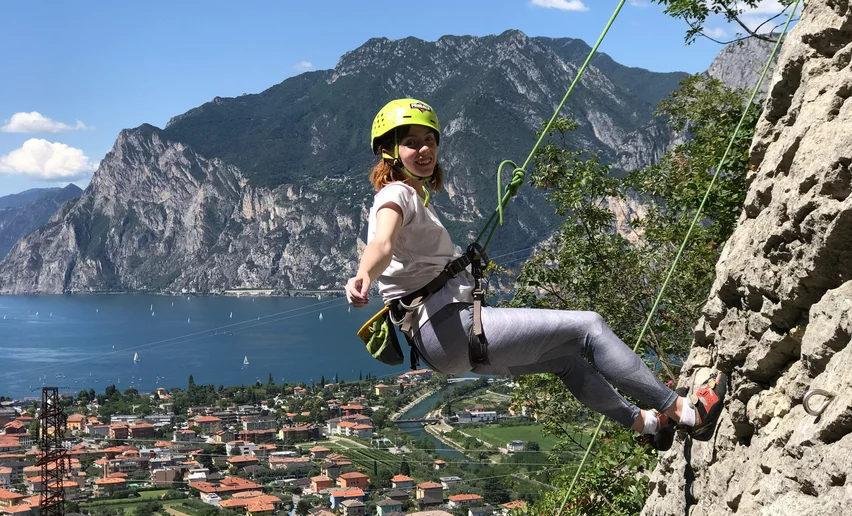
, Garda Trentino")
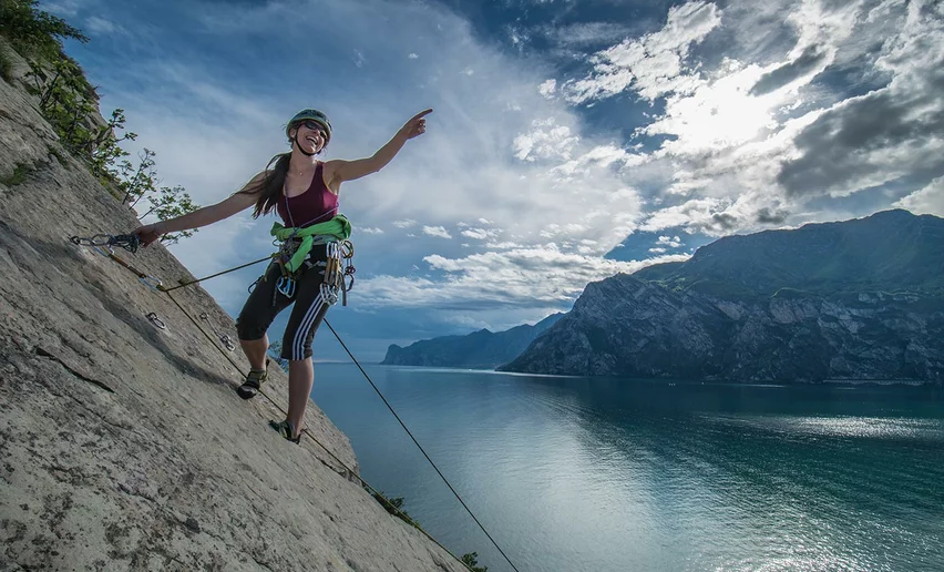
, Garda Trentino")