Safety guidelines
The via ferrata marked with the logo Outdoor Park are part of Garda Trentino Outdoor Park. With this project, the Tourism Board and the Public Administration are working to guarantee, for the infrastructures so marked, the highest safety standards compatible with sport climbing on natural terrain.
Every year, qualified professionals check the condition of the equipment on the via ferrata and replace it where necessary.
In any case, via ferrata are a natural environment, which can be unpredictable and is exposed to all kinds of weather conditions. This is why you should always be careful and adopt all measures required to ensure your own safety and that of your companions.
Via Ferrata Safety tips
- Choose the route based on your actual psycho-physical preparation, technical ability, and experience. Always assess the conditions of crowding, weather, the state of the fixed equipment, and the route. The final decision and responsibility for the passability of the route lie entirely with the person who decides to undertake it. If you are unsure, seek information or rely on qualified professionals.
- Only do the via ferrata if you are reasonably fit and in excellent health.
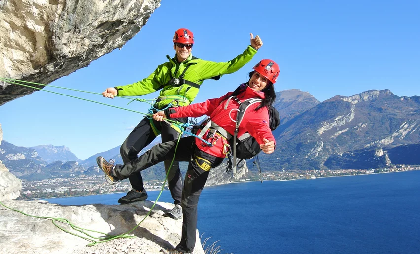
- Use proper safety gear (helmet, harness, ferrata kit with double selflocking carabiners and energy absorbing systems). Put on your helmet once you get near to the wall in case of rock falls.
- Check the weather report and do not undertake the via ferrata ascent in adverse weather conditions, especially in the event of a thunderstorm threat.
- The risk of rock falls increases if there are others on the via ferrata or with wind or rain.
- During progression always keep both carabiners clipped onto the safety cable and when you pass the anchor points make sure at least one carabiner is clipped on to the metal cable.
- Only one person may be on any length of cable between two anchor points.
- Always check route conditions; in winter you may find snow and ice, making progress very dangerous.
- Begebe dich nie allein auf den Klettersteig, da niemand sonst im Notfall Alarm schlagen kann.
- Do not do the via ferrata alone: if you have an accident nobody will be able to call for help.
Emergency telephone number 112.
The information on this chart is subject to inevitable variations, so this means that none of the indications are absolute. It is not entirely possible to avoid giving inexact or imprecise information, given how quickly environmental and weather conditions can change. For this reason, we decline any responsibility for changes which the user may encounter. In any case, the hiker is advised to check the conditions of the places, environment and weather before setting out.

, Garda Trentino")

, Garda Trentino")
, Garda Trentino")
, Garda Trentino")
, Garda Trentino")
, Garda Trentino")
, Garda Trentino")
, Garda Trentino")
, Garda Trentino")
, Garda Trentino")
, Garda Trentino")
, Garda Trentino")


, Garda Trentino")
, Garda Trentino")


