Short, intense tour near Arco.
Signage: 748. Laghel Trail - Tour
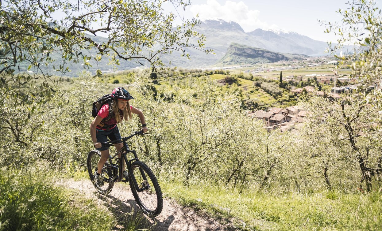
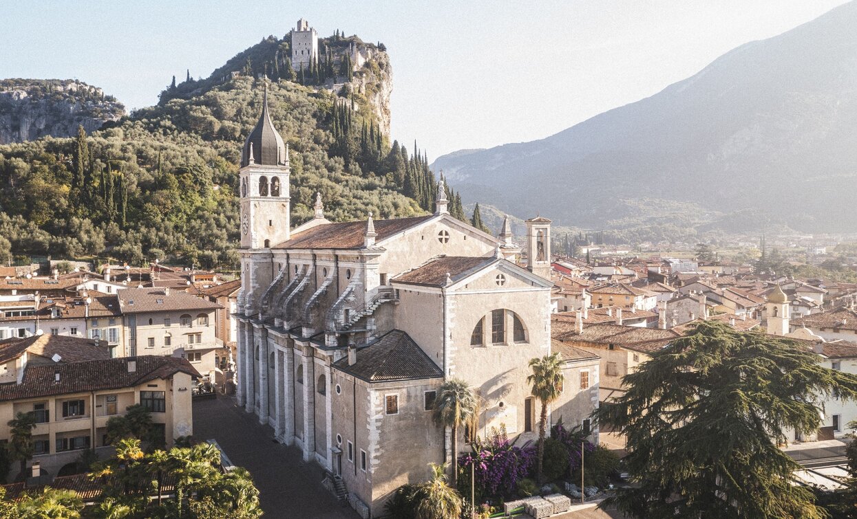
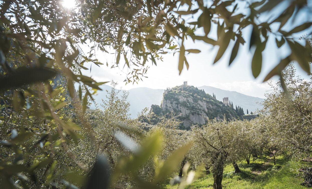
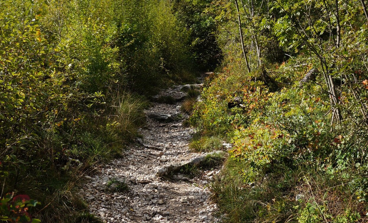
Start next to the old town and ascend to Arboreto di Arco, a beautifully laid out arboretum, then cycle on alternating gravel and concrete paths along the sunny south-facing slopes enjoying views through olive groves until you reach the road to San Giovanni al Monte. Follow this until shortly after the village of Padaro, where a small path branches off to the right. The subsequent trail down to Laghel packs a punch: steep, gravelly, technically demanding – definitely not for beginners. The ride to the church of Santa Maria di Laghel is then easier, after which is another short, not too steep climb and a descent down into Valle del Sarca, which you reach at the historically important Ponte Romano near Ceniga. It’s then flat and leisurely along the river back to the starting point in Arco.


The olive groves of Arco characterize the landscape of Garda Trentino, enjoy this part of the tour!
ITRS - International Trail Rating System
The ITRS is an objective way to assess trails and routes from a biker’s perspective, evaluating four aspects:
Discover more about the ITRS system and check the classification of this tour in the photo gallery.
Safety Tips
This information is subject to inevitable variations, so none of these indications are absolute. It is not entirely possible to avoid giving inexact or imprecise information, given how quickly environmental and weather conditions can change. For this reason, we decline any responsibility for changes which the user may encounter. In any case, it is advisable to check environment and weather conditions before setting out.
The route starts in Arco, or more precisely at the cycle path near the Caneve car park. Following the initial directions, head toward the town centre, where it is fairly easy to find the public gardens in the town centre.
At the far left of the park, take Viale delle Magnolie and then turn right into Via Porta Scaria, which runs uphill skirting the historic centre and the arboretum. At the town gate in Stranfora, turn left and the following fork keep left once more to take Via Lomego. From here the signposts marked 748 will lead you through the beautiful olive groves of Arco.
When you reach the main road to Padaro, keep right, and follow it to reach the small hamlet. You’ll be happy to know there is fountain here to refill your water supplies. Continue on the main road and after about 500m on your right you will see the signs leading to a trail which takes you the most challenging part of descent. Initially the terrain is a little exposed, then - as anticipated - it gradually becomes rougher. At the end of this section, keep right going down to the church of Santa Maria di Laghel.
Turn left here and continue straight onto Via Laghel di sotto for just under 1.5 km. The signposts will then lead you to turn right onto a dirt / gravel road. At the start, this section is quite flat, but it soon turns into a partly cemented downhill stretch. Having reached the end of the descent you will see Maso Lizzone on your left. Turn right here to reach the nearby Roman bridge of Ceniga.
Do not cross the bridge but continue straight ahead to follow the quiet road to Prabi, pass by the more modern bridge close to the centre of Arco, still not crossing and take the cycle path. Finally cross the river using the cycle bridge and return to Caneve.
The main towns in Garda Trentino - Riva del Garda, Arco, Torbole sul Garda, Nago – are connected by several urban and intercity bus lines which will take you to the starting point of tours or in the immediate surroundings.
You can also get to Riva del Garda and Torbole sul Garda by the public ferry service.
Up-to-date information on timetables and routes.
Parking in Caneve (5 minutes walk to the town centre).
Paid parking: Foro Boario, near the bridge (Via Caproni Maini) or the post office (Via Monache).
Riding your bike requires specific clothing and equipment, even for relatively short and easy trips. It is always better to be prepared… e.g. for bad weather or a sudden drop in your energy levels. The unexpected things are part of the fun!
Remember to thoroughly evaluate the type of route you plan on doing, the locations you intend to cross and the current season. Has it been raining? Attention: The paths may be slippery and require more caution.
What do I need to bring on my bike tour?
It is always advised to let someone know where you plan to go and how long you expect to be.
Emergency telephone number 112.


