Directions
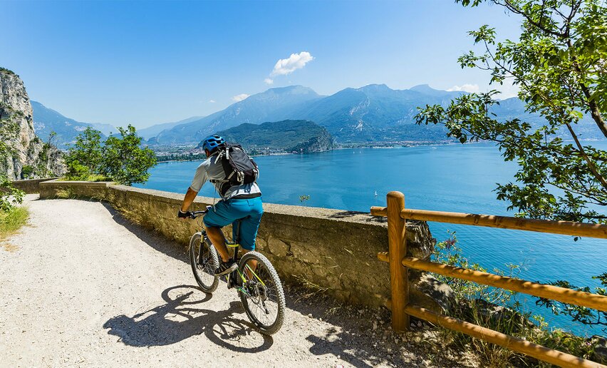
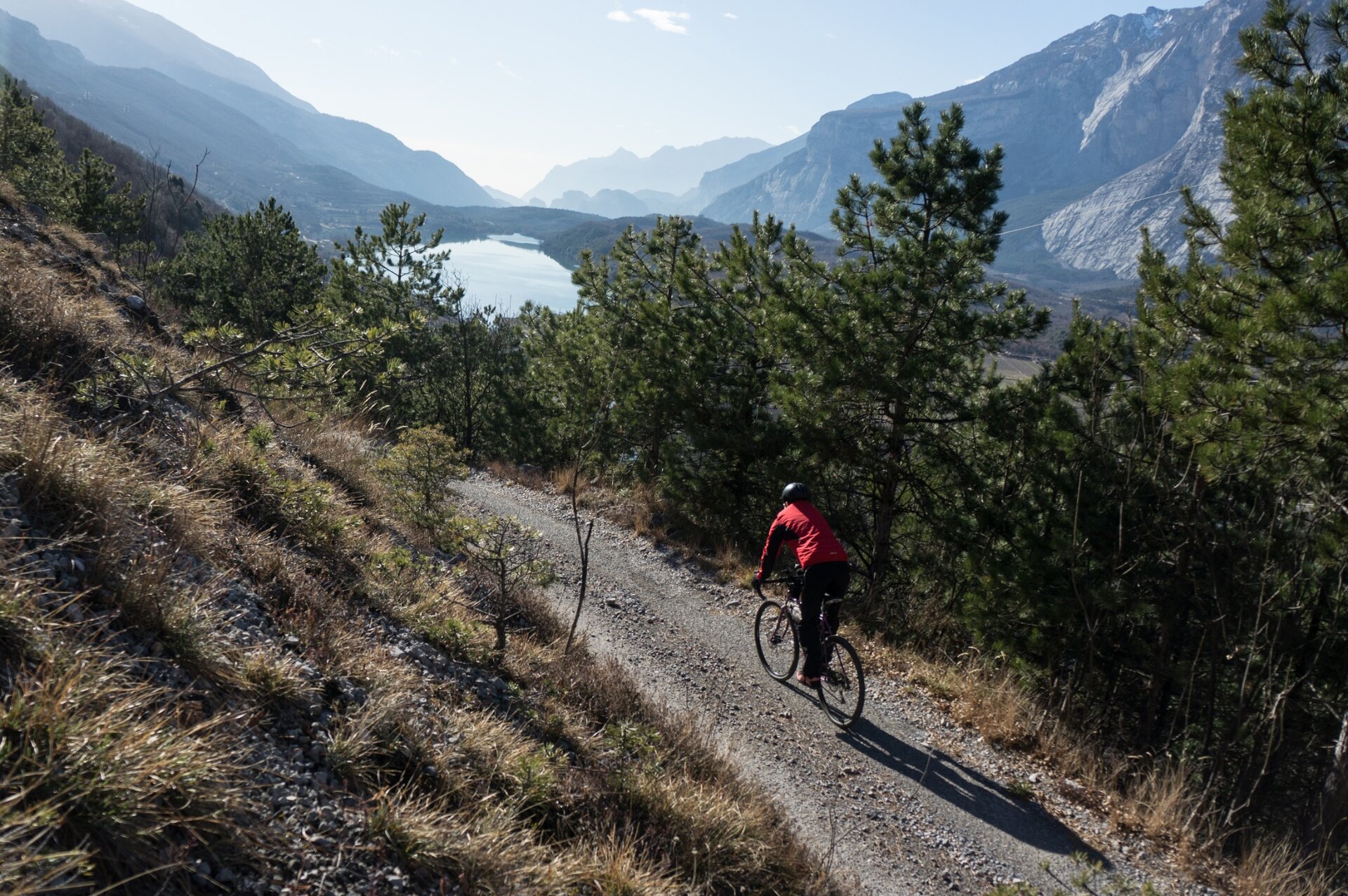
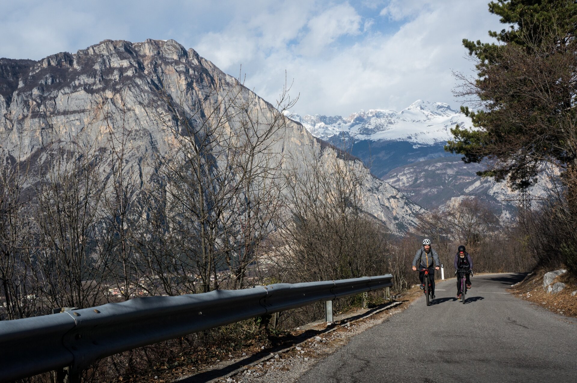
The starting point of the route is in Trebi. Coming north from Dro you will find the first sign for route 753 to your right, at the forked road. However, starting from the south of the lake, continue south for a few dozen meters where you should take the first road on your left. Here you will quickly find the route signage which guides you uphill, through the locality of Trebi. Continue to climb on the main road, where the gradient is constant at around 10%. Quickly gaining altitude, you’ll have the possibility to admire the remarkable views of Lake Cavedine and the Sarca Valley.
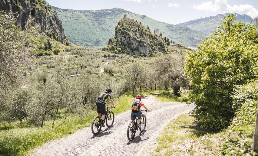
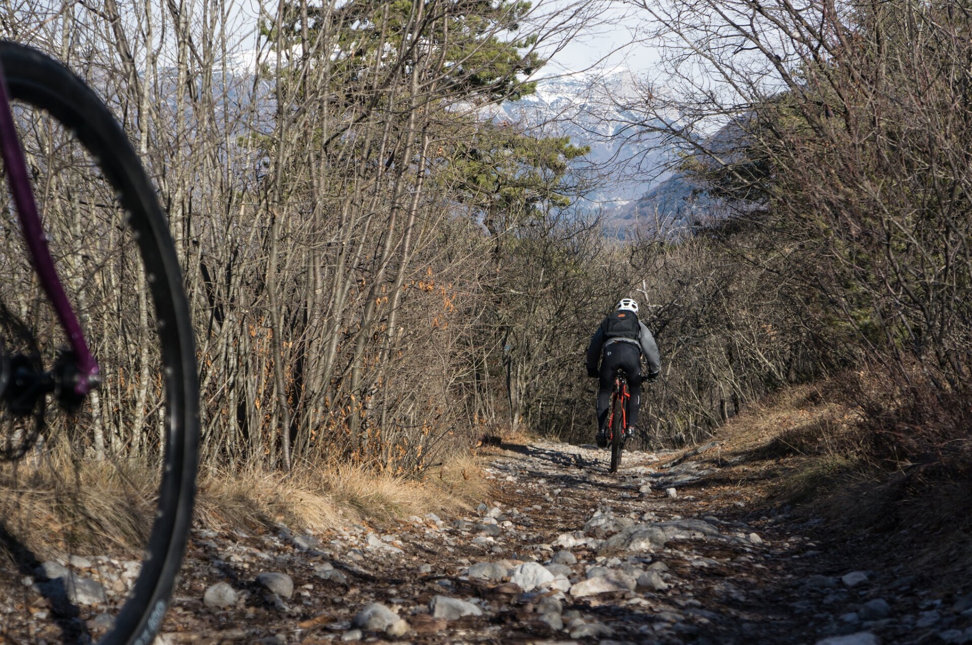
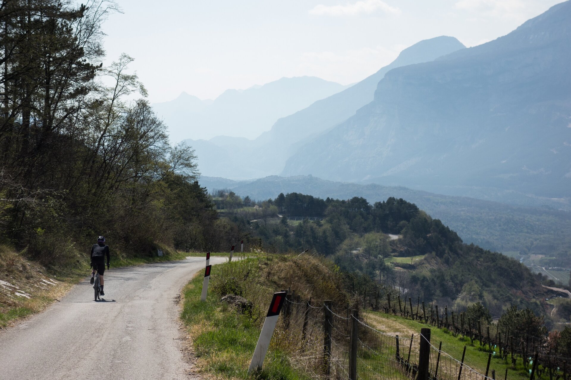
A little after you have passed over the hill-top, follow a wide curve round to the right. Leave the asphalt road, and take the archeological gravel road, continuing to follow the directions for route 753. All of the turnings are well indicated and the route continues with undulating terrain until the locality of San Siro. Once again riding on asphalt, keep left and start to descend, following the main road - as indicated by the signage.
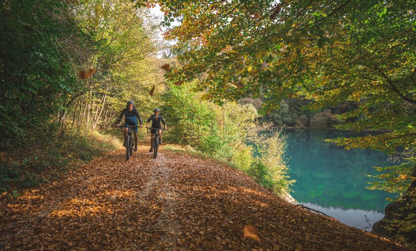
At the fourth hairpin bend, take the gravel road on the left that brings you back to Lake Cavedine. After approximately 100 meters, the terrain returns to asphalt. Continue to follow the road downhill toward the lake, where you will rapidly meet its tributary.
Turn left here and follow the road that runs along the water course to the south, where for a short time you will arrive at the lake itself. Continue straight on to find the route starting point.




 Offers