aria.quick_link.navi aria.quick_link.skiptomaincontent aria.quick_link.footer
A day without a car
Valle di Ledro

Exploring from lake to forest

Walking or cycling, in nature

A day on two wheels

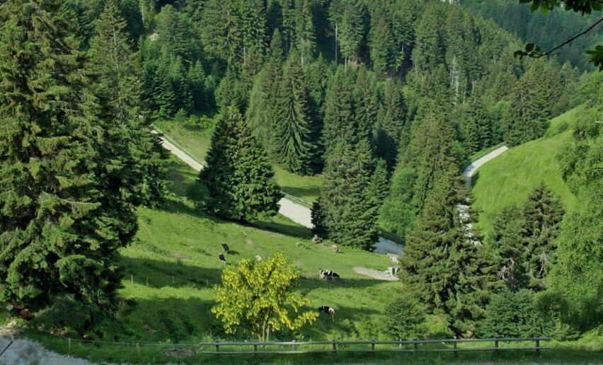
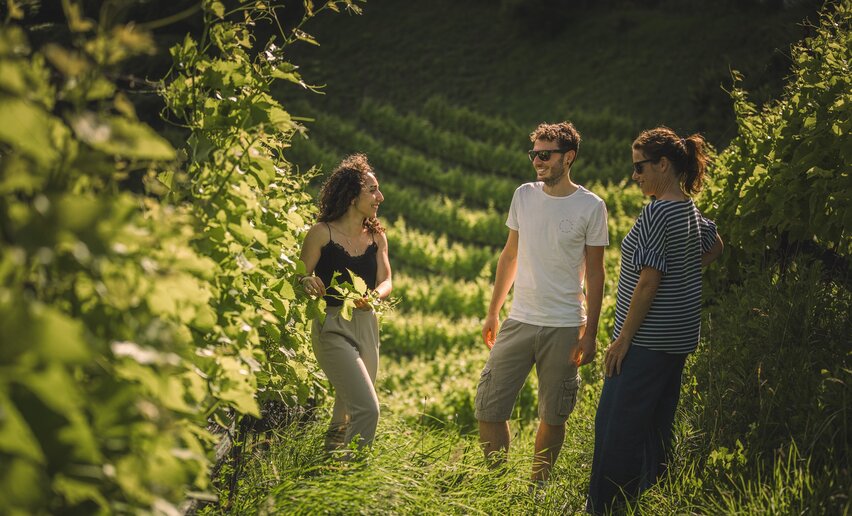
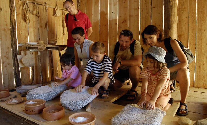
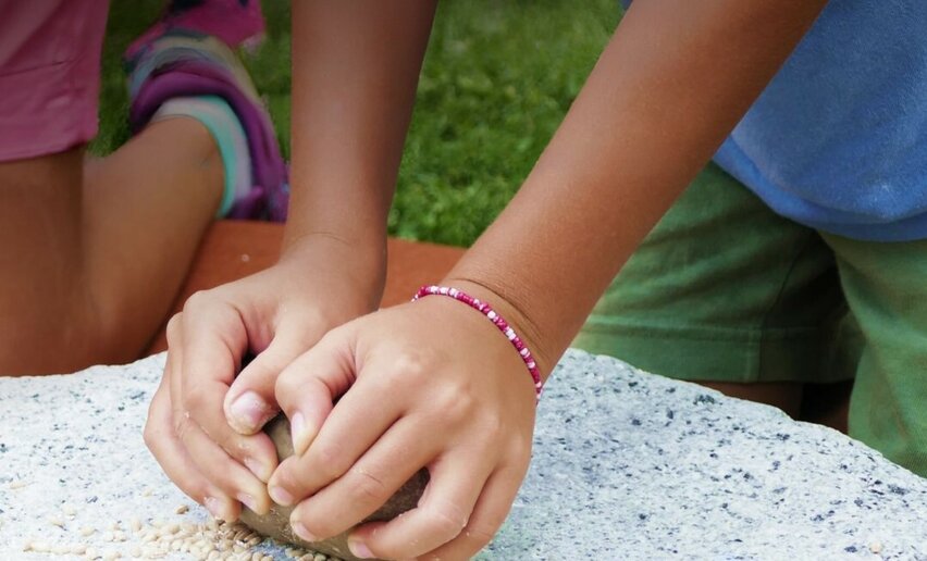
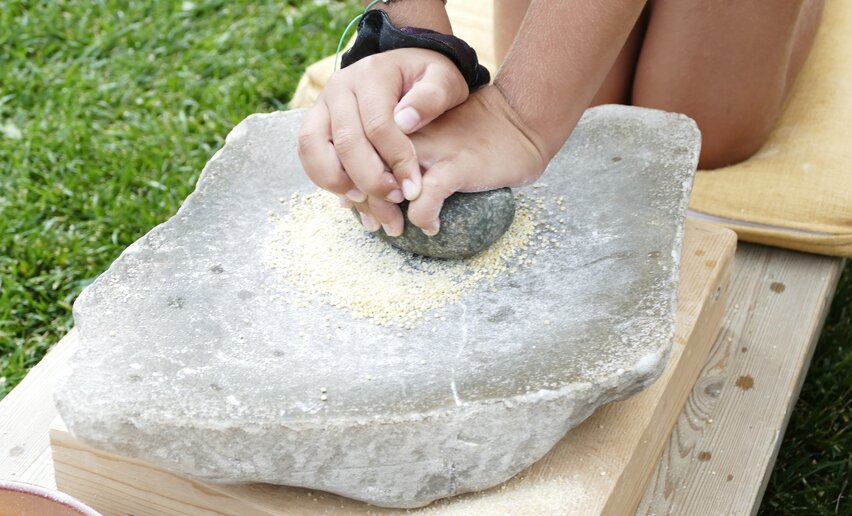
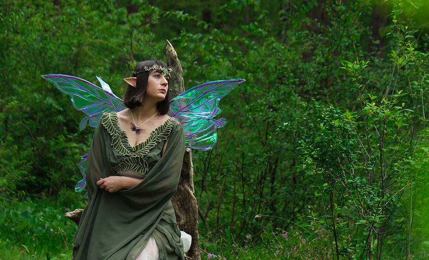
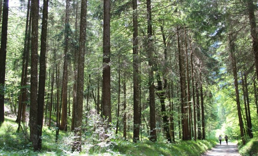
Your first destination is Val Concei: cycling through the trees in the morning is one of the best ways to start the day! If your group also includes young cyclists, plan a stop in the Gavardina fairy forest.

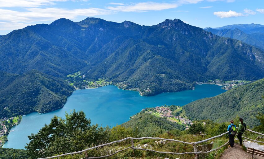
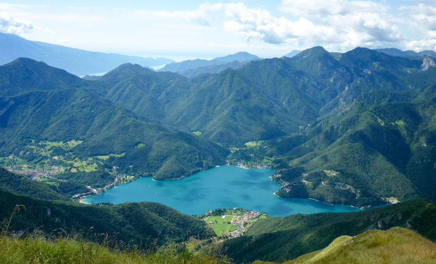
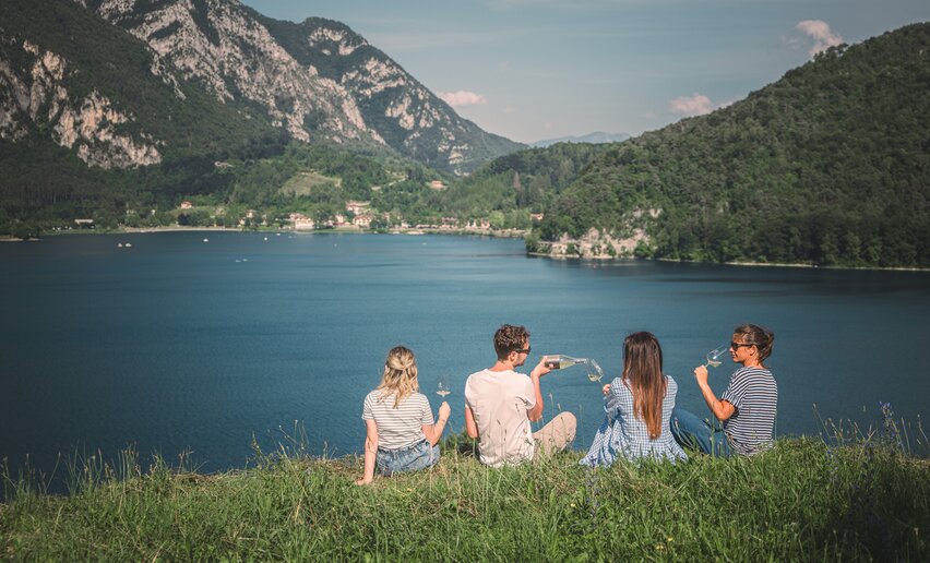
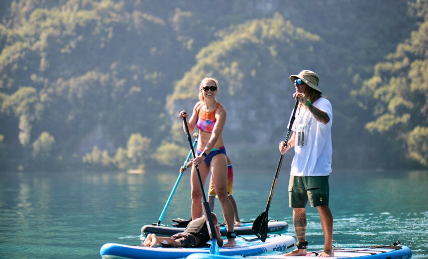
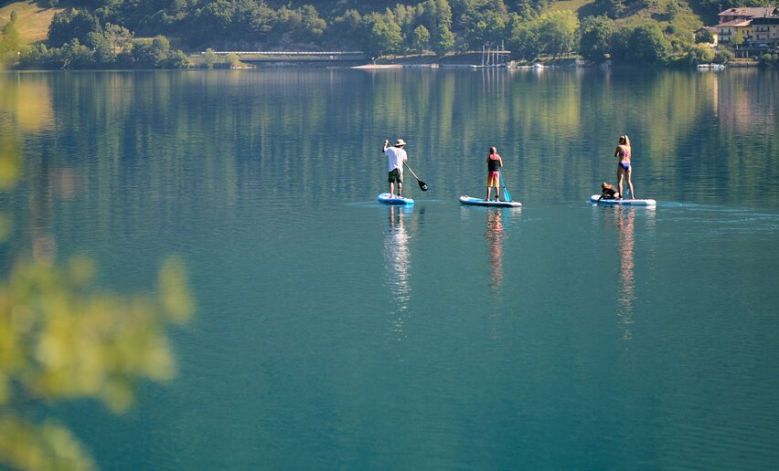
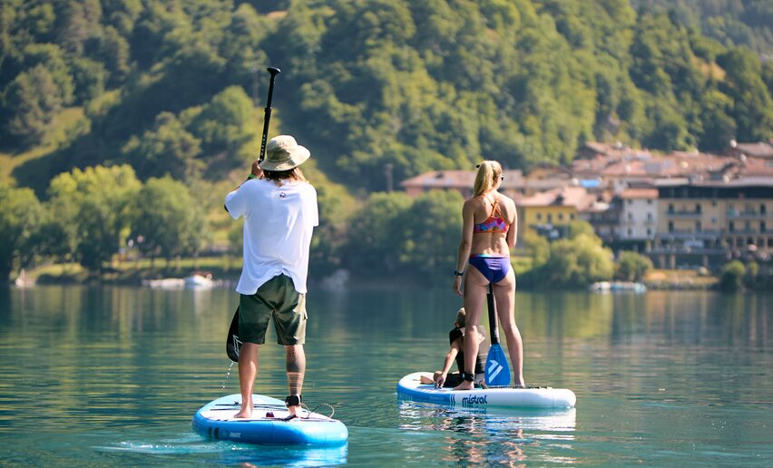
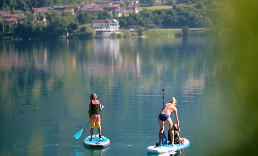
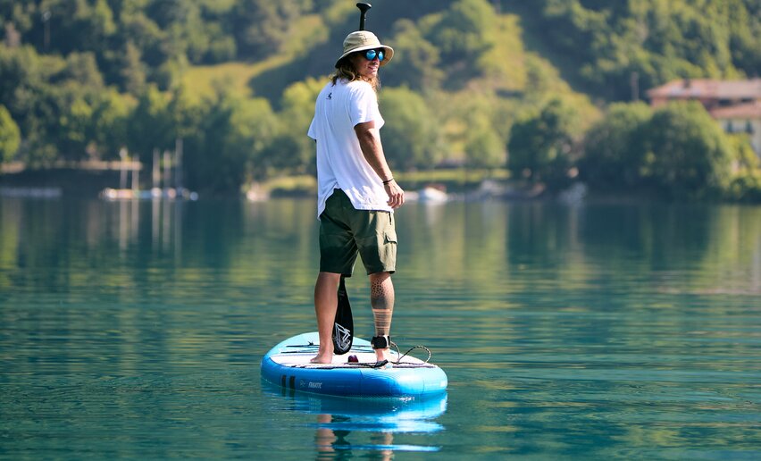
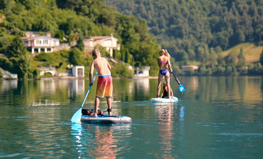
Once back in Pieve, you can continue along the cycle path and take the small road along the lake to Pur. In summer, a refreshing dip here is a must!

At the end of the day, to return to Pieve, you can either retrace the route in the opposite direction or take a bus to Molina and load your bike too. (Be quick, there are only a few places on board!)

Step by step

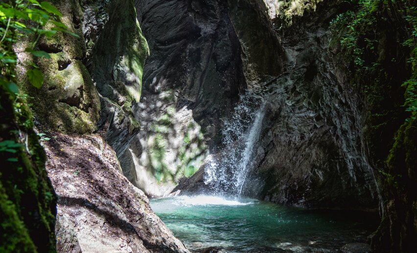
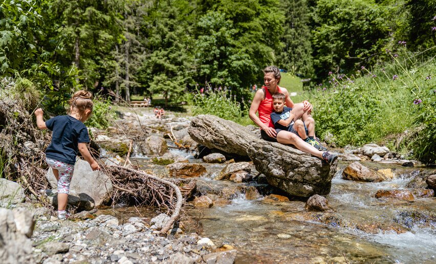
If you prefer to walk, take the bus to Tiarno di Sotto and follow the signs to the Gorg d'Abiss: there, you will walk along the Massangla stream until you reach a spectacular waterfall hidden in the greenery (approx. 1 hour, easy trail).

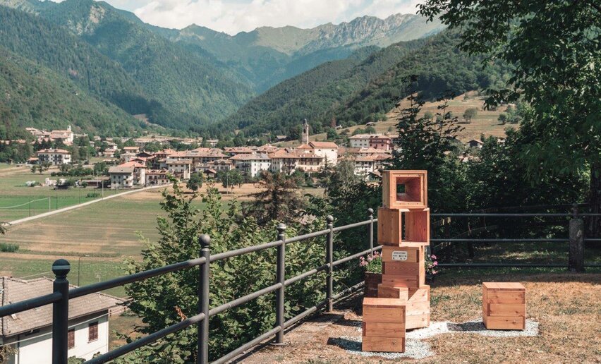
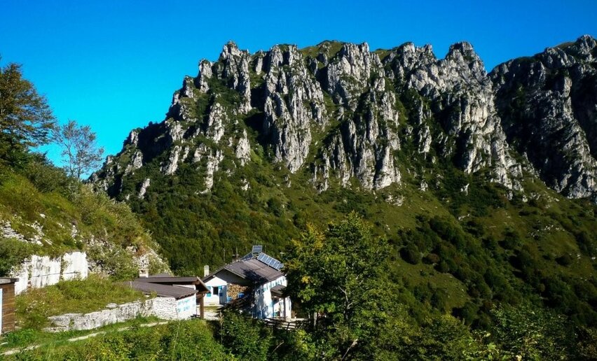
Back in the village, you can take the bus and reach Bezzecca (from Tiarno about 20 minutes, from Molina 10 minutes): here you climb up to Colle Santo Stefano. This strategic point was at the centre of Garibaldi's battles (yes, this was precisely the place where Garibaldi responded with the famous 'I obey') and it later became an outpost of the Italian army during the First World War; along the way you can visit trenches, tunnels and emplacements.

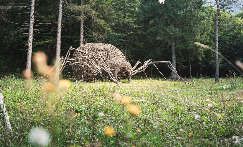
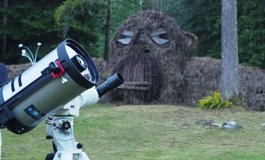
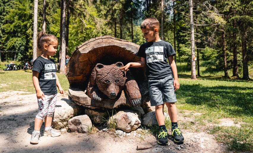
This outing is also suitable for children, who will feel as if they are losing themselves in a fantastic labyrinth waiting to be explored. And if you still have some time left, take them to visit the house of the Giant Gilli (in the town hall, right in the village square): here they can hear his story and measure themselves - literally! -  against his enormous silhouette.

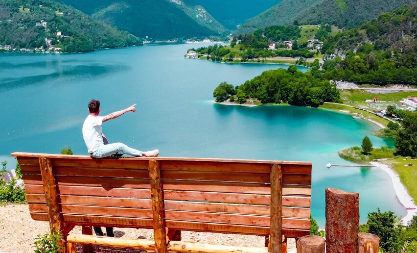
From Bezzecca, it is only a 20-minute walk to Pieve di Ledro. Now is the time to relax, with a stroll on the beach and a tasty ice cream.

DID YOU KNOW THAT...?
WITH THE GARDA GUEST CARD ALL PUBLIC TRANSPORT (INCLUDING BUS&GO) AND MANY ATTRACTIONS OF GARDA TRENTINO ARE FREE!
GARDA GUEST CARD
BUS TIMETABLE
bike rental
GARDA GUEST CARD
BUS TIMETABLE
bike rental
A few more ideas for your visit
 
aria.poi_location_prefix Molina di Ledro
Madonnina di Besta
aria.poi_category_prefix nature
  • aria.logo Garda Guest Card
aria.poi_location_prefix Molina di Ledro
Museo delle Palafitte del Lago di Ledro
open
closed
aria.poi_category_prefix museum
aria.poi_location_prefix Bezzecca
Mulino dei "Blec"
open
closed
aria.poi_category_prefix culture
aria.poi_location_prefix Coste di Salò
Belvedere di Dromaè
aria.poi_category_prefix nature
aria.poi_location_prefix Ledro
Lago d'Ampola
aria.poi_category_prefix nature
aria.poi_location_prefix Bezzecca
Colle di Santo Stefano
aria.poi_category_prefix culture
aria.poi_location_prefix Ledro
Panchina Gigante Ledro
always open
aria.poi_category_prefix nature
aria.poi_location_prefix Concei
Barefoot trail Fata Gavardina
open
closed
aria.poi_category_prefix nature
  • aria.logo Garda Guest Card
  • aria.logo Vacanze con Gusto
aria.poi_location_prefix Pieve di Ledro
Laboratorio e Museo A. Foletto
open
closed
aria.poi_category_prefix regional produce
BIKE
Using your bike to get around? Cycle paths and back roads are the best way to move around. And when tiredness sets in, you can always take a bus back to base.
CYCLE PATHS
TRANSPORT & BIKe
CYCLE PATHS
TRANSPORT & BIKe
Love walking and fancy trying one of the many paths through Alto Garda?
 
© Massimo Novali, Garda Trentino
Intermediate
Riva del Garda, Ledro
Ledro Alps Trek Alpiedi - Leg 3: from Bivacco Arcioni to Rifugio Pernici
Distance 11,1 km
Duration 5 h 00 min
Altitude difference (+) 1.156 m
Altitude difference (-) 372 m
Status
open
World War I Trenches at Dromaé | © Archivio Garda Trentino (ph. Alice Russolo), Garda Trentino
Intermediate
Ledro, Riva del Garda
Sentiero della Pace 9: Rifugio Pernici to Riva del Garda
Distance 18,3 km
Duration 5 h 50 min
Altitude difference (+) 192 m
Altitude difference (-) 1.720 m
Status
open
Intermediate
Ledro
Passo Nota
Distance 14,9 km
Duration 5 h 00 min
Altitude difference (+) 877 m
Altitude difference (-) 876 m
Status
open
Croce dell'Ussol | © Staff Outdoor Garda Trentino AC, Garda Trentino
Intermediate
Ledro
Bocca de l'Ussol
Distance 9,1 km
Duration 4 h 30 min
Altitude difference (+) 889 m
Altitude difference (-) 890 m
Status
open
The Ponale Road | © Staff Outdoor Garda Trentino AC, Garda Trentino
Intermediate
Riva del Garda, Ledro
Ponale Path (from Ledro)
Distance 10,5 km
Duration 4 h 00 min
Altitude difference (+) 785 m
Altitude difference (-) 785 m
Status
open
© Stefania Oradini, Garda Trentino
Intermediate
Ledro
Monte Corno: the balcony above Lake Ledro
Distance 14,3 km
Duration 6 h 30 min
Altitude difference (+) 1.051 m
Altitude difference (-) 1.051 m
Status
open
© Natalia Pellegrini, Garda Trentino
Easy
Ledro
Cima Avez
Distance 9,1 km
Duration 2 h 00 min
Altitude difference (+) 258 m
Altitude difference (-) 252 m
Status
open
© Stefania Oradini, Garda Trentino
Difficult
Ledro
Monte Carone
Distance 14,7 km
Duration 7 h 00 min
Altitude difference (+) 1.170 m
Altitude difference (-) 1.150 m
Status
open
© Stefania Oradini, Garda Trentino
Easy
Ledro
Madonnina di Bezzecca
Distance 4,3 km
Duration 1 h 30 min
Altitude difference (+) 142 m
Altitude difference (-) 142 m
Status
open