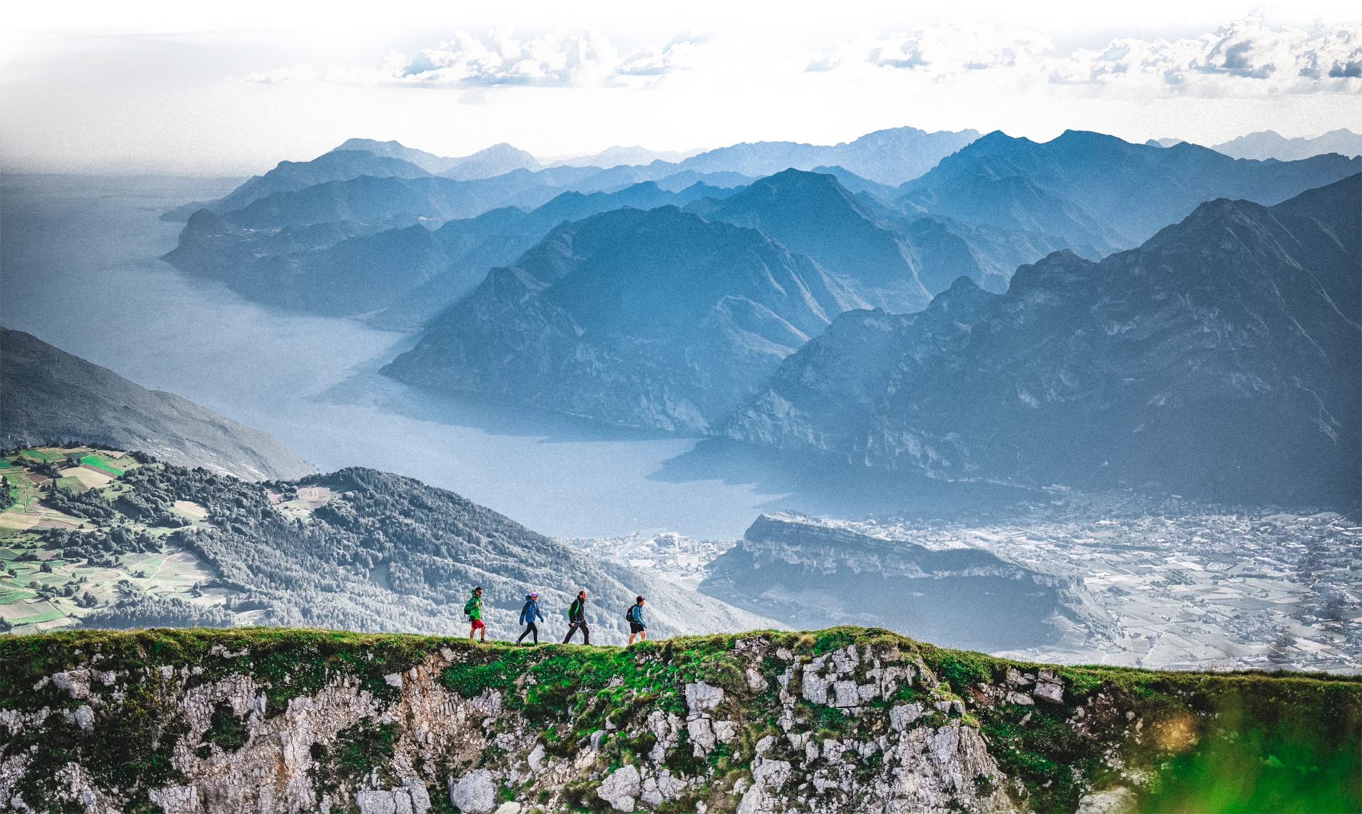
Less demanding version of the Giro delle cime. For those who don’t want to miss the wonderful landscapes of the mountains of Val Concei.
After the ascent to Bocca Trat the route keeps above 1900 m right to the Bocca dell’Ussol. The path then descends towards Malga Guì and the locality Al Faggio. Corno di Pichea, Tofino, Doss de la Torta e Gavardina: these are the mountains along the route.
For more information on routes, services (guides, mountain huts, shops etc.) and hiking friendly accommodation: Garda Trentino - +39 0464 554444
Rifugio Pernici (15 minutes walk from Bocca Trat) and Rifugio Al Faggio (at the end of the route) are ideal for a relaxing break and an energising meal. During the summer, the alpine grasslands come to life. At Malga Guì and Malga Trat you can buy cheese and typical products.
Safety Tips
This information is subject to inevitable variations, so none of these indications are absolute. It is not entirely possible to avoid giving inexact or imprecise information, given how quickly environmental and weather conditions can change. For this reason, we decline any responsibility for changes which the user may encounter. In any case, it is advisable to check environment and weather conditions before setting out.
Take the SAT 402 path from Perigol to Bocca di Trat, turn into the SAT 420 path and keep on it to reach Corno di Pichea, Monte Tofino and Doss de la Torta. Turn into the SAT 455 path, walk uphill to Monte Gavardina and reach Bocca de l'Ussol. Turn into the SAT 414 path passing by Malga Guì and leading down to the valley floor. From Rifugio Al Faggio follow the road and turn left into the Val Sorda until reaching Perigol.
Valle di Ledro is connected to Riva del Garda by the intercity bus line 214 (Riva-Valle di Ledro-Storo). The nearest bus stop to the route is "Lenzumo" and then for 3 km by foot to reach the starting point.
Exit the A22 motorway at Rovereto Sud – Lago di Garda – Follow the SS240 della Val di Ledro to Pieve di Ledro. Drive past Lenzumo. At the sign 'Piste sci da fondo' turn right.
Car park in the locality of Perigol.
You need to wear the right clothing and take the proper gear when you go hiking in the mountains. Even on relatively short easy outings make sure to take all you need so you don't run into trouble if things take an unexpected turn, for example a storm blows up or you have a sudden drop in energy levels.
What should you take when you go on a hike?
Your rucksack (for a day trip a 25/30L capacity should do) should contain:
Make sure you're wearing the right footwear for the trail and season. The going can get rough and rocky underfoot and a pair of hiking boots will protect you from sprains. When wet, a grassy slope, rocky slab or steep trail can be dangerous unless you are wearing the proper footwear.
And finally... don't forget to bring your camera! You'll need it to capture the stunning views you come across all over Garda Trentino. And if you like, you can share your memories with us at #GardaTrentino.
Emergency telephone number 112.

