aria.quick_link.navi aria.quick_link.skiptomaincontent aria.quick_link.footer
Garda Trentino Logo
Top

Ledro Alps Trek Alpiedi - Leg 1: from Storo to Tremalzo

Ledro

Category
Difficulty
Difficult
Duration
10:00
Duration in hours
Distance
27.8
Distance in km
Status
open
WSEN
Suggested period
Jan
Feb
Mar
Apr
May
Jun
Jul
Aug
Sep
Oct
Nov
Dec

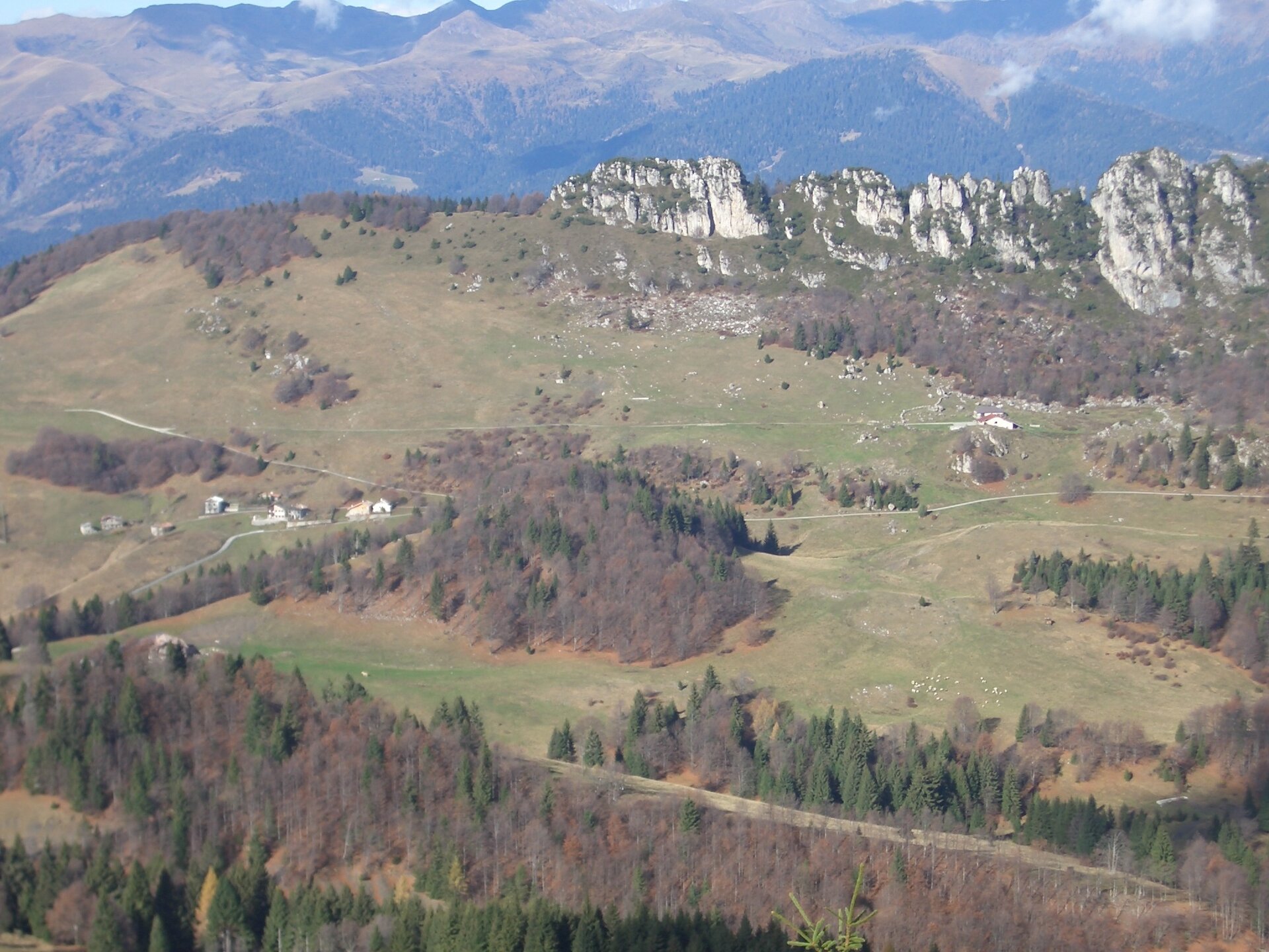
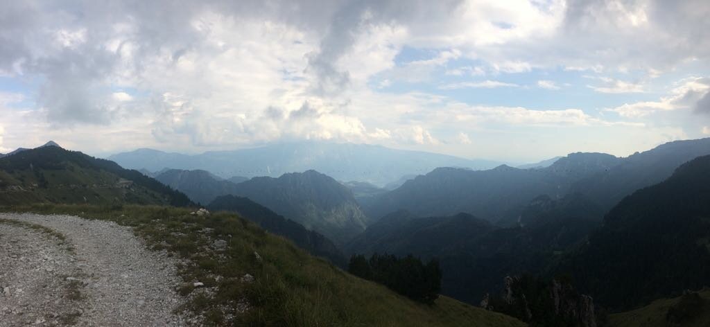
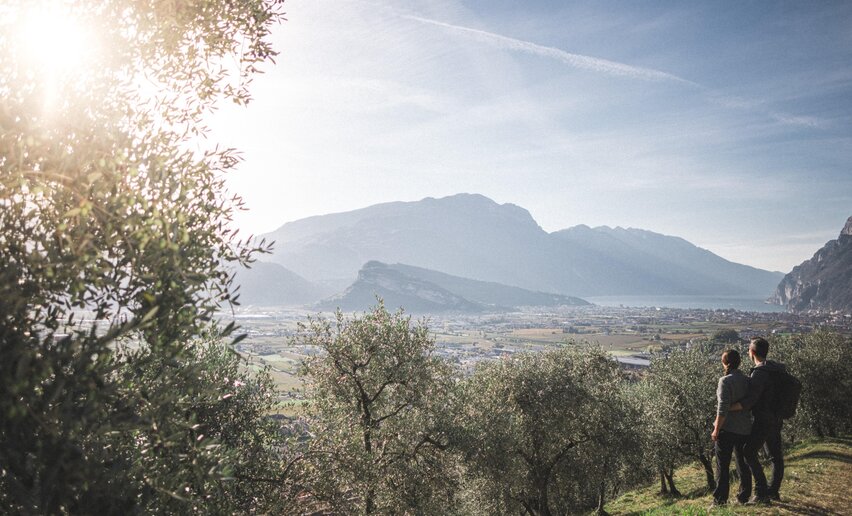
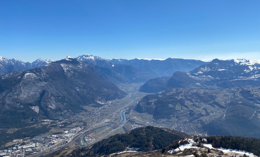
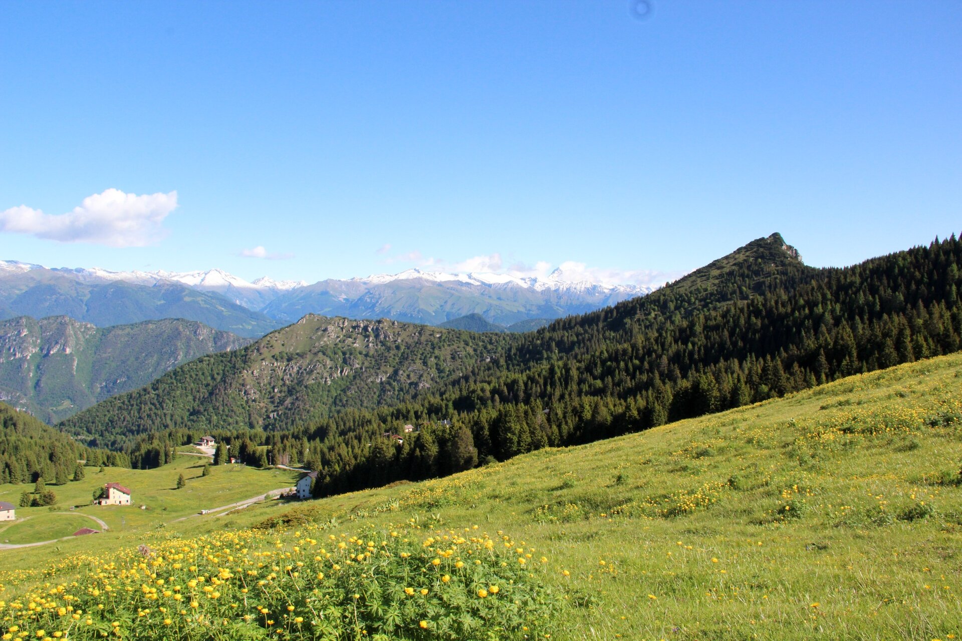
The ascent from Storo to Tremalzo offers spectacular views over Valle di Ledro and Valle del Chiese.

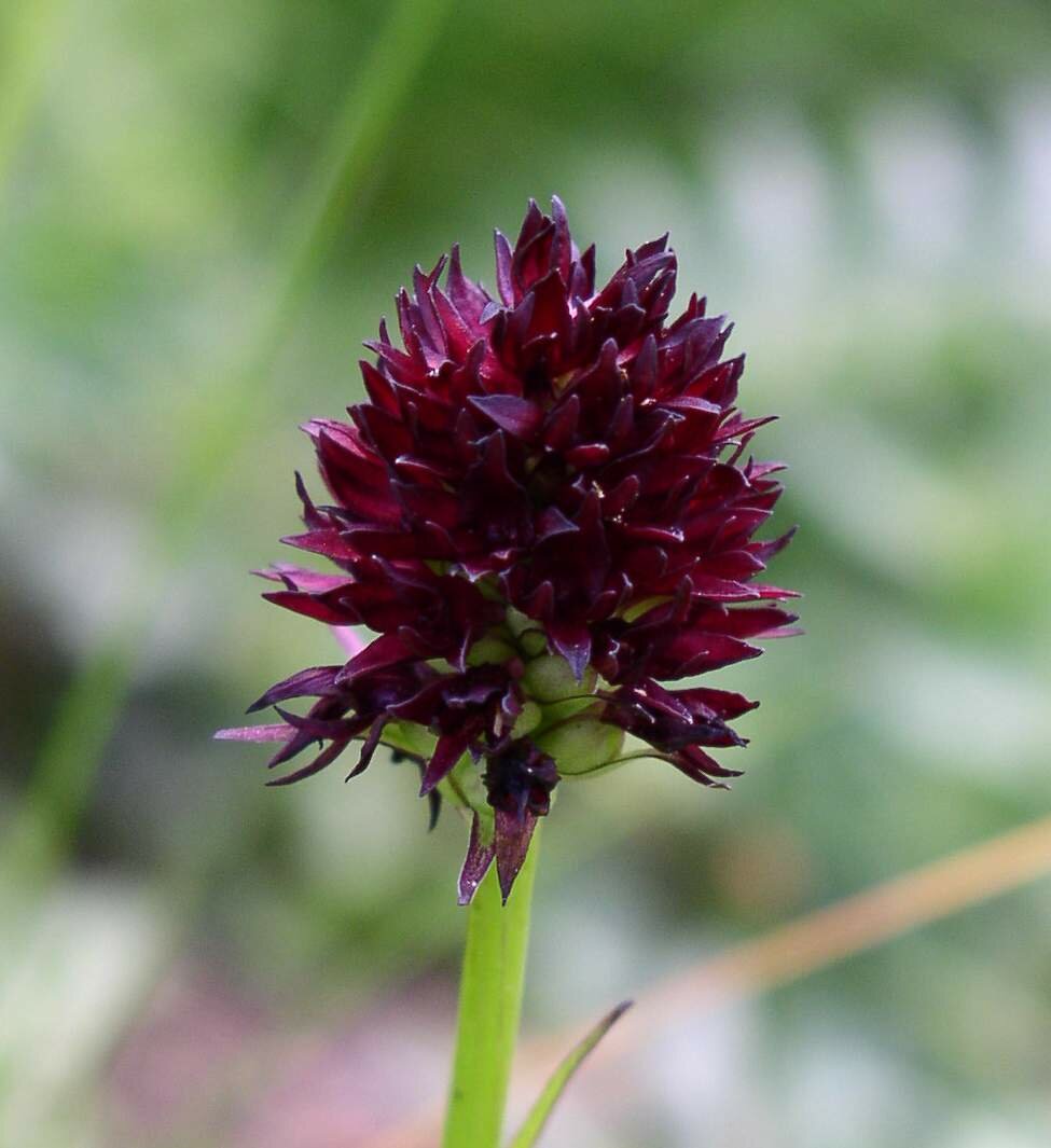
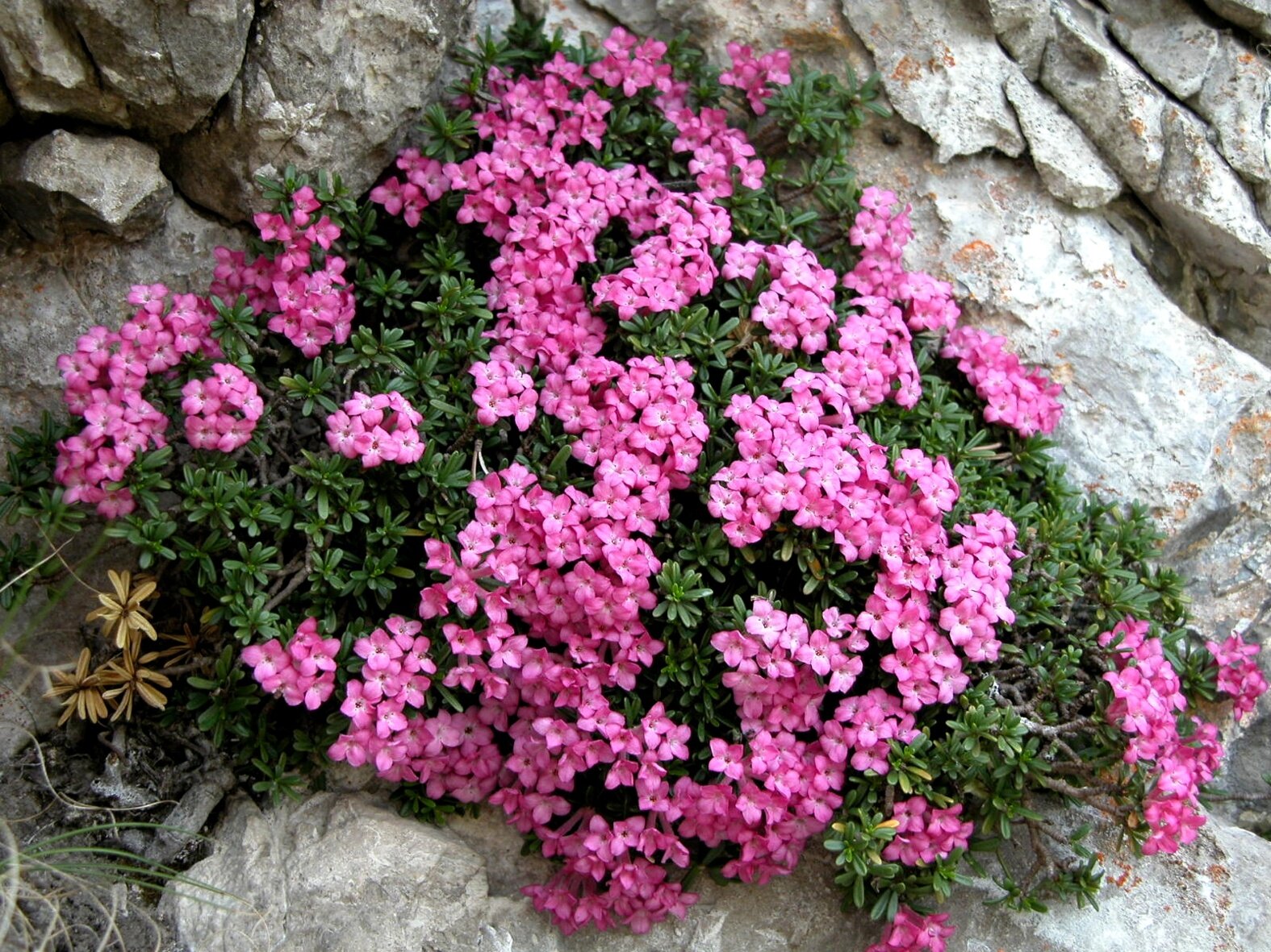
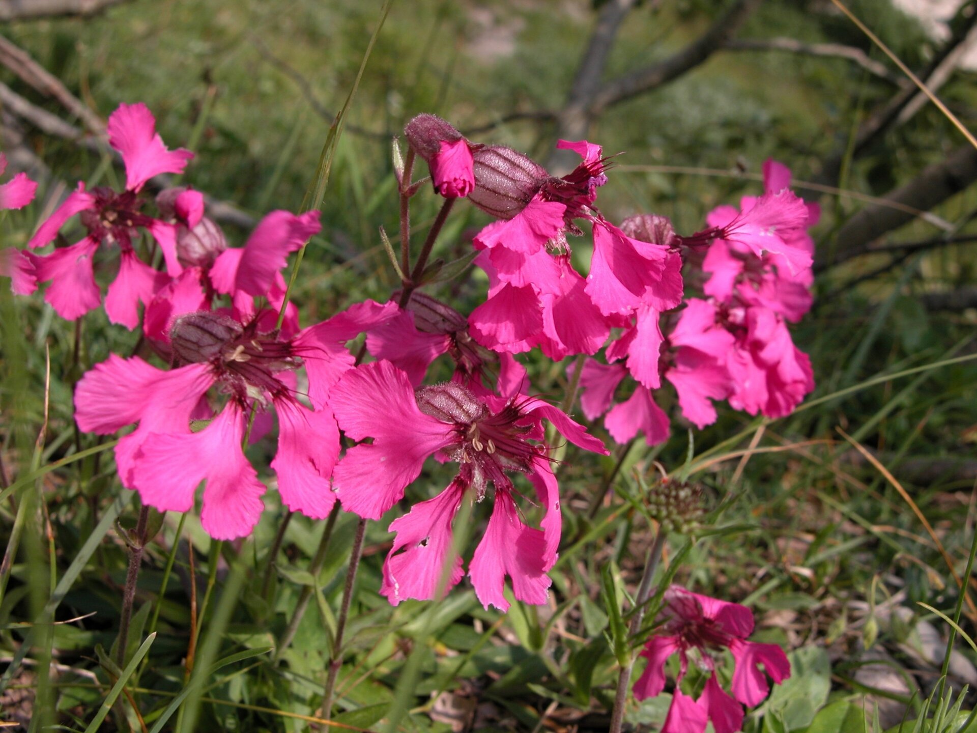
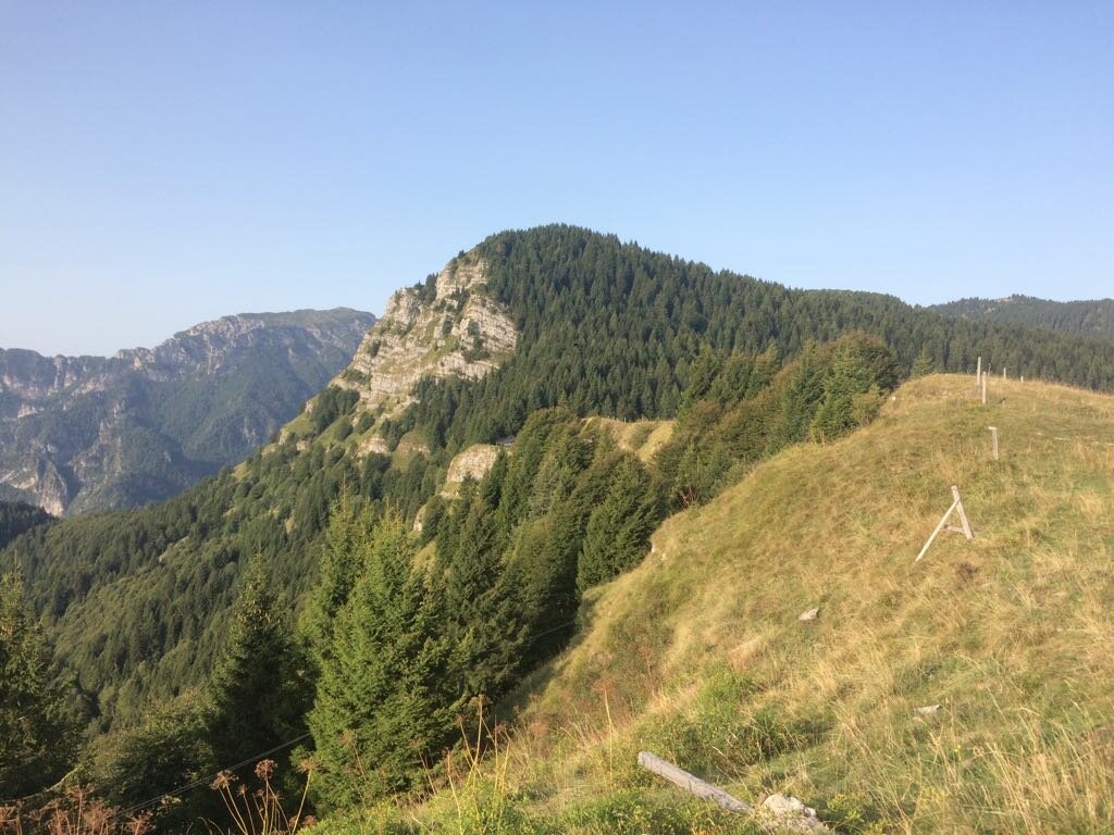
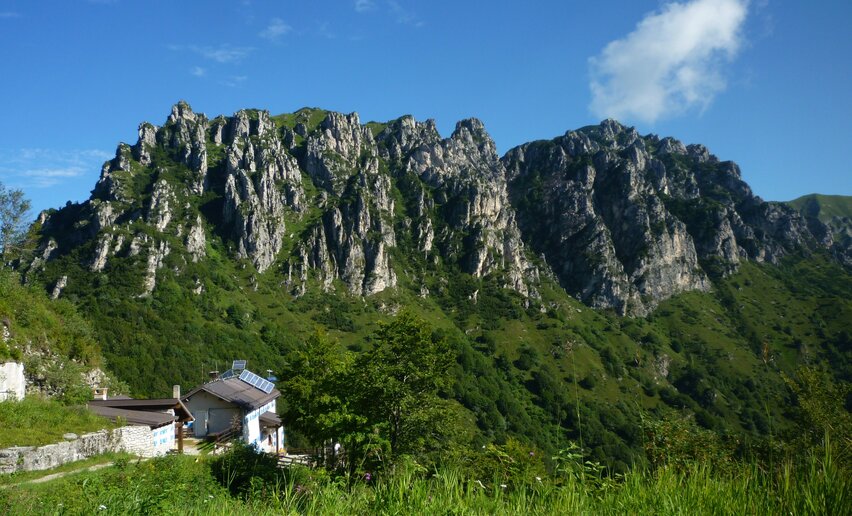
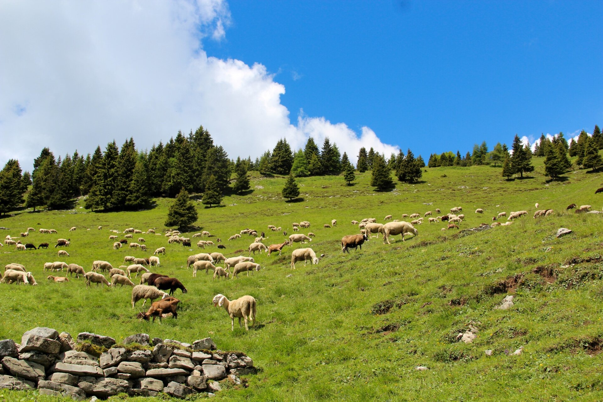
After walking through woods, trenches and tunnels, the path gets to the open spaces of Tremalzo. Several endemisms (flowers and plants which do not grow anywhere else) make it the garden of Valle di Ledro. At Passo Tremalzo it is possible to spend the night at Albergo Garda or Rifugio Garibaldi.
Further information and useful links

For more information on routes, services (guides, mountain huts, shops etc.) and hiking friendly accommodation: Garda Trentino - +39 0464 554444

details
  • Linear route
  • Scenic
  • Geological highlights
  • Summit route
  • Cultural/historical interest
  • Flora
Route info
Difficult
Route number
Distance
27,8 km
Duration
10 h 00 min
Altitude difference (+)
2.469 m
Altitude difference (-)
1.186 m
Physical effort
Scenary
Highest point
1.892 m
Lowest point
391 m
Suggestions

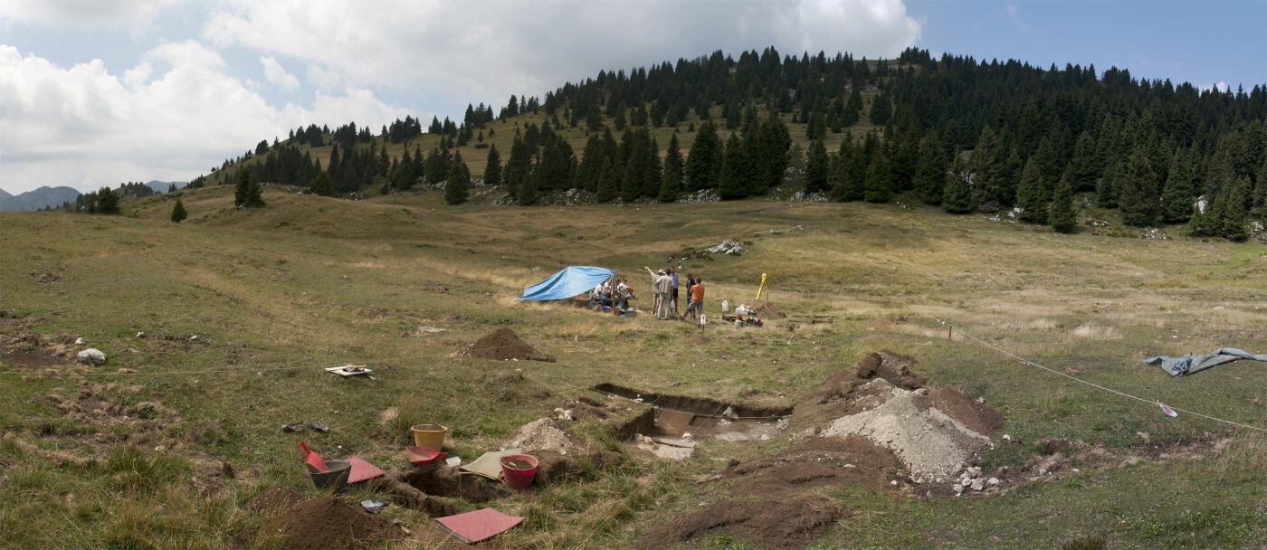
It is possible to cut this hike in half by staying at the bivouac in Alpo, conveniently located halfway. The visitor centre in Tremalzo houses a display about the flora, fauna and agrarian tradition of Tremalzo.

You might be interested in
Discover related tours

Strada di Moline and Deggia | © Fototeca Trentino Sviluppo foto di A. Russolo, Garda Trentino
Intermediate
Valle dei Laghi
The S. Vili’s path: through Deggia, Moline & Ranzo

Distance 13,9 km
Duration 5 h 00 min
Altitude difference (+) 641 m
Altitude difference (-) 641 m
Status
open
View from the Olivaia of Arco | © Archivio Garda Trentino (ph. Tommaso Prugnola), Garda Trentino
Easy
Arco
Olive Trail
Distance 7,2 km
Duration 3 h 00 min
Altitude difference (+) 300 m
Altitude difference (-) 300 m
Status
open
Reaching the Pernici Hut | © Stefania Oradini, North Lake Garda Trentino
Intermediate
Riva del Garda
Great War: from Malga Grassi to Rifugio Pernici
Distance 2,5 km
Duration 2 h 08 min
Altitude difference (+) 558 m
Altitude difference (-) 3 m
Status
open
Mount Creino - Val di Gresta | © ApT Rovereto Vallagarina Monte Baldo, APT Rovereto Vallagarina Monte Baldo
Easy
Val di Gresta & Mori
Monte Creino
Distance 4,0 km
Duration 1 h 10 min
Altitude difference (+) 124 m
Altitude difference (-) 124 m
Status
open
view from the top of Biaena over the lower Vallagarina | © ApT Rovereto Vallagarina Monte Baldo, Garda Trentino
Easy
Val di Gresta & Mori
From Passo Bordala to Monte Biaena
Distance 3,7 km
Duration 1 h 40 min
Altitude difference (+) 353 m
Altitude difference (-) 9 m
Status
open
Wayside shrine near Bolognano | © Archivio APT Garda Trentino , North Lake Garda Trentino
Intermediate
Dro & Drena, Arco
GardaTrek - Medium Loop 3: from Ceniga to Bolognano
Distance 19,8 km
Duration 8 h 20 min
Altitude difference (+) 891 m
Altitude difference (-) 868 m
Status
open