Directions
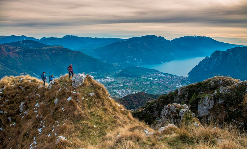
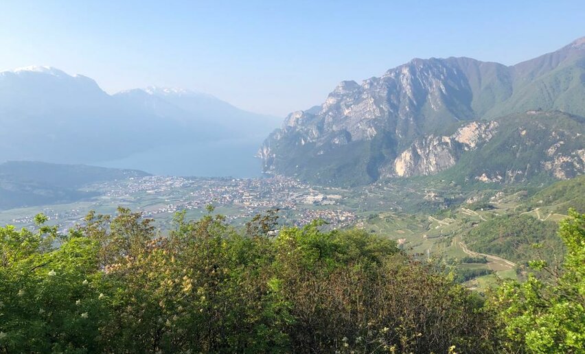
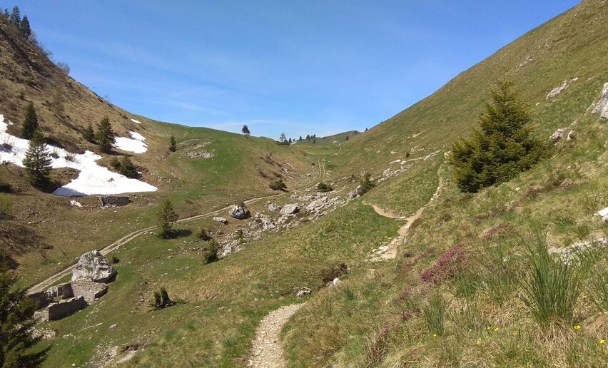
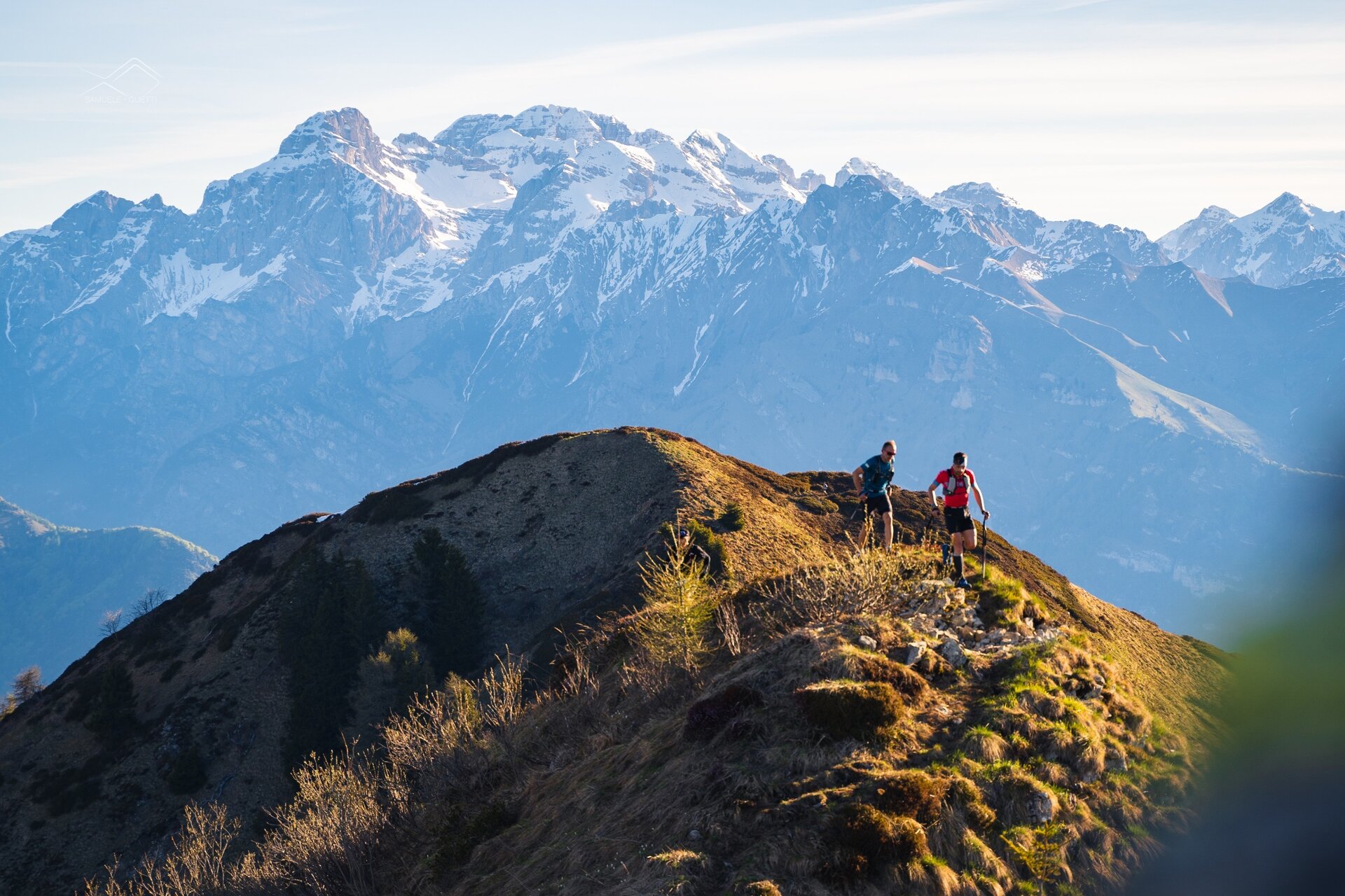
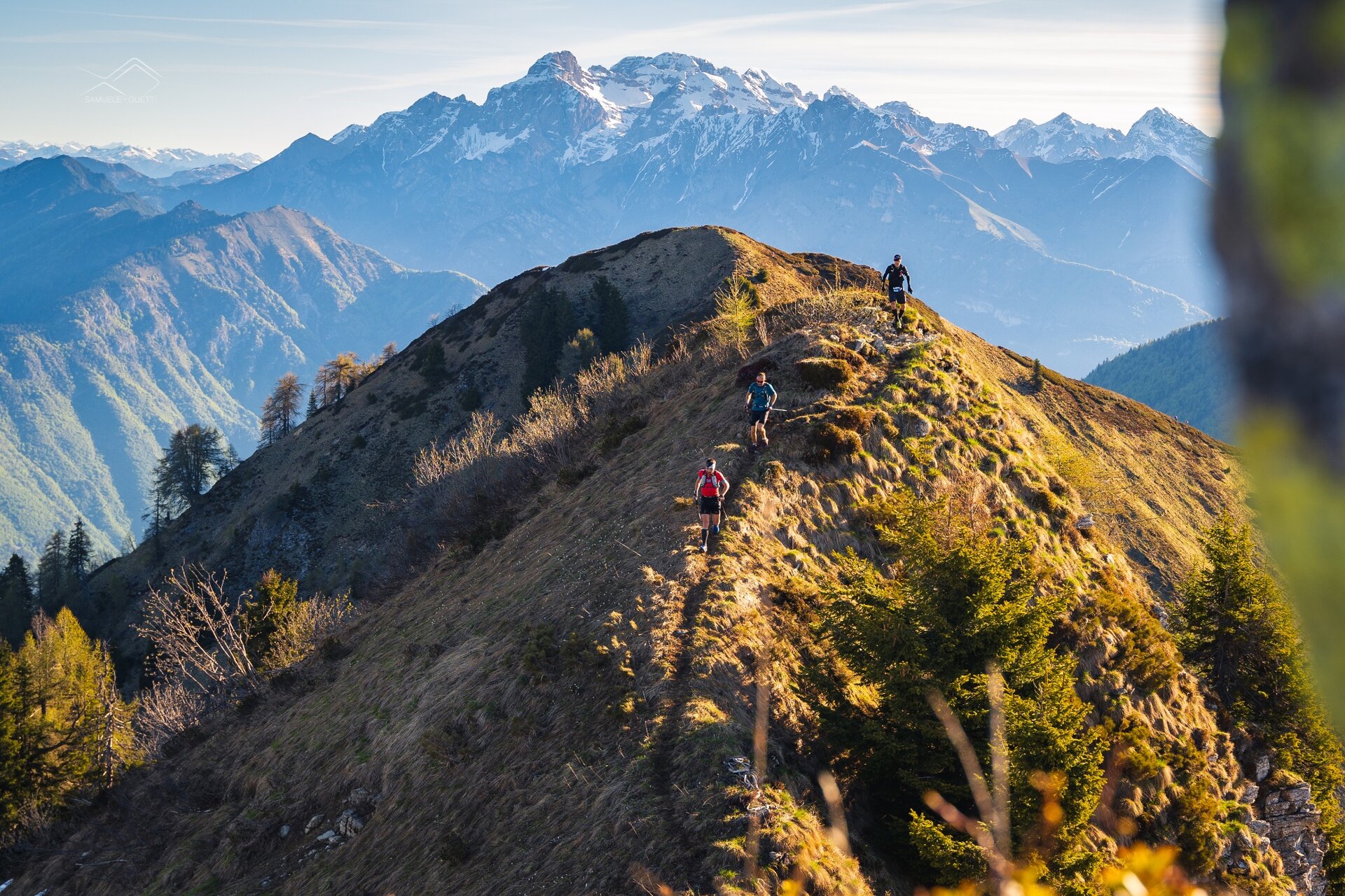
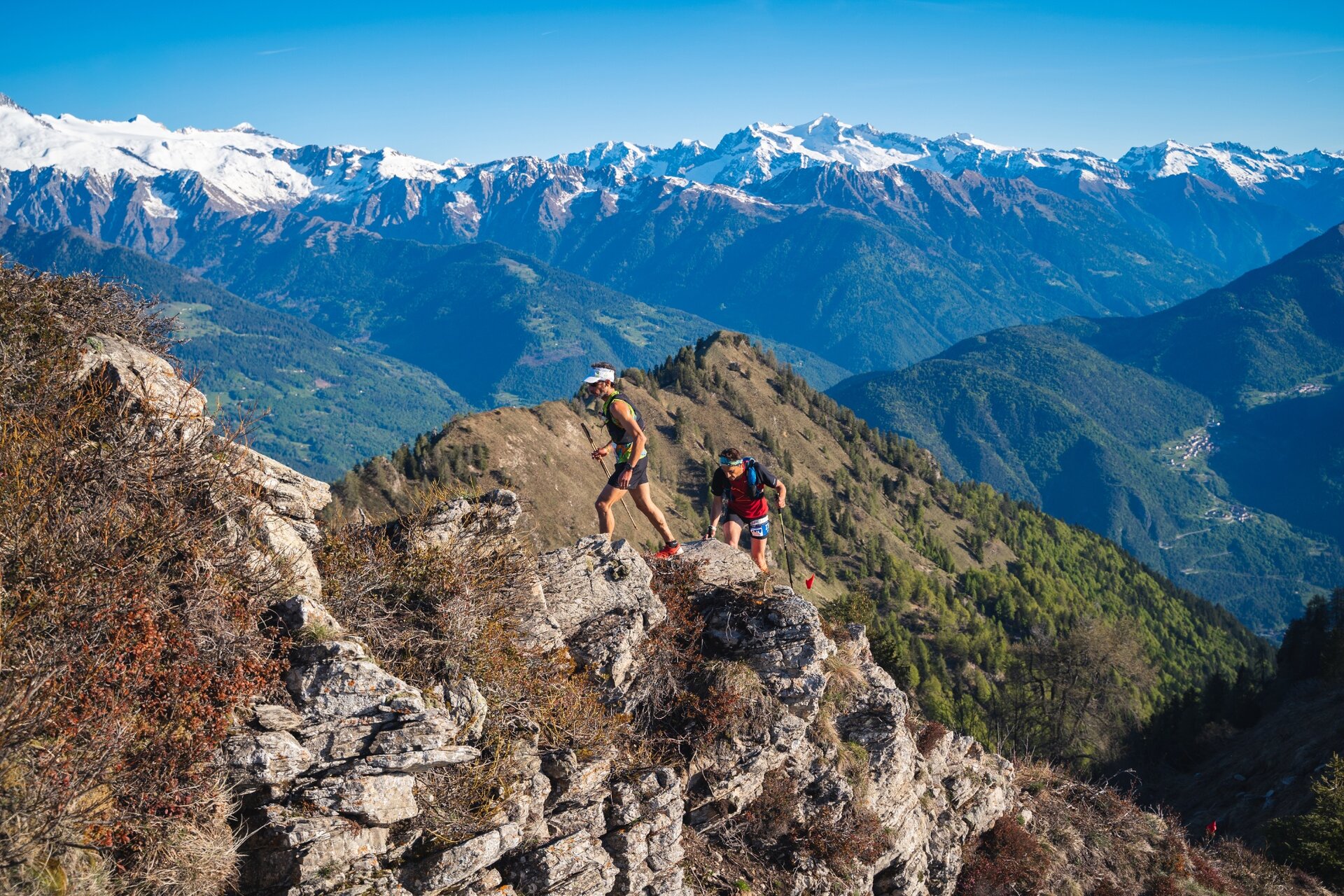
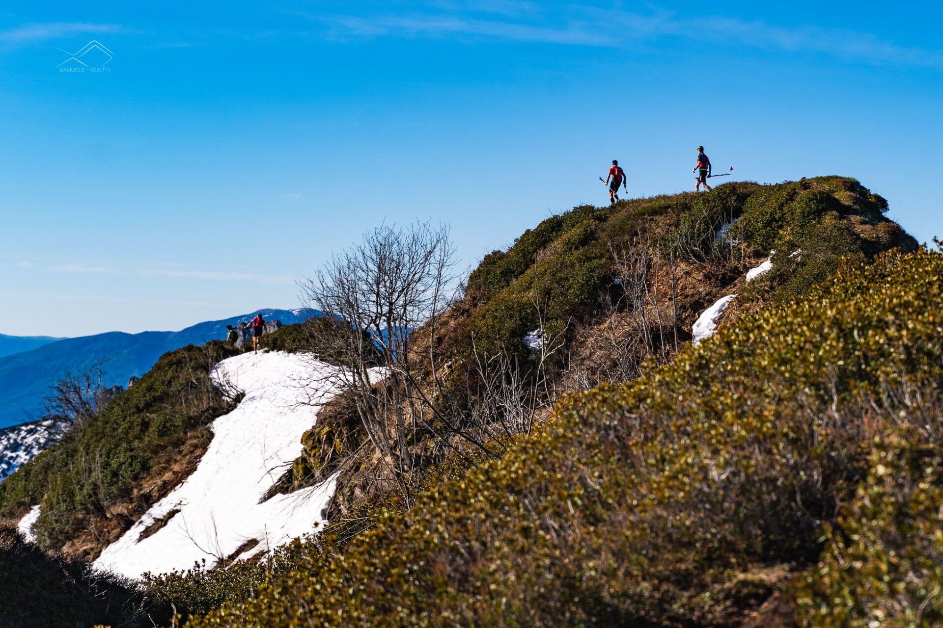
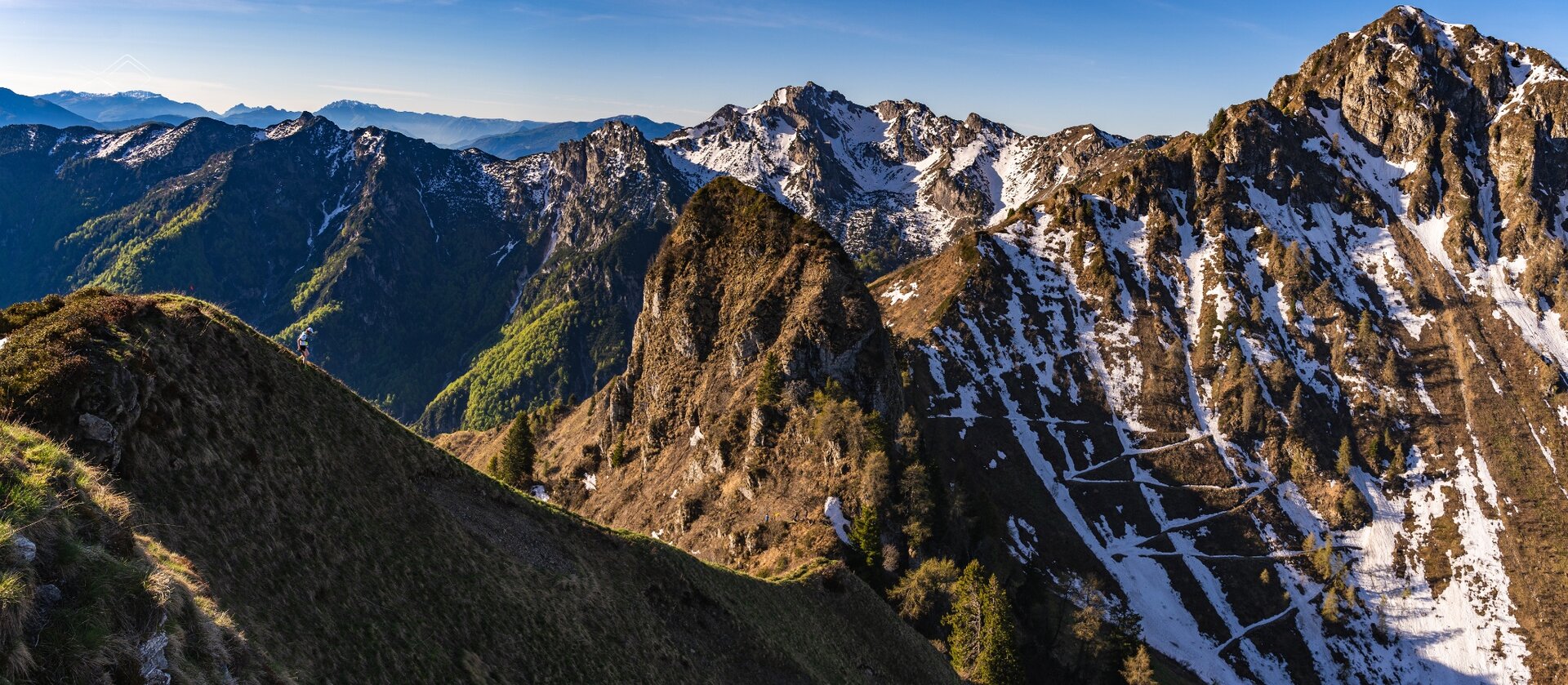
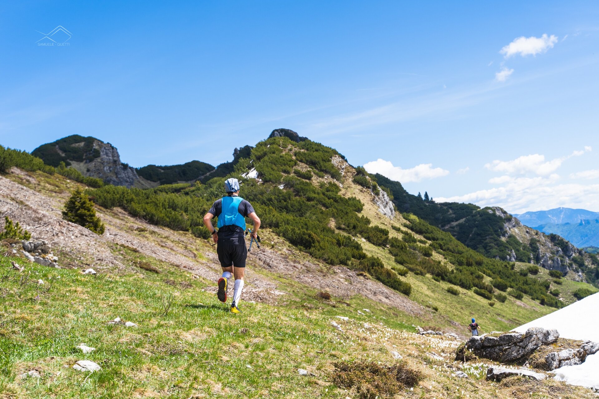
From Passo Durone (986 m asl, km 0), near the Ristorante Affittacamere Passo Durone (from Renza), begins the forest road that climbs to Malga Stabio. After two hundred meters, the route follows the SAT 463 path which leaves the forest road and rises to the left through beautiful beech forests. The ascent alternates steep sections with easy false flats. After about 3 km you reconnect with the previously left forest road and shortly find yourself in the wide pasture basin of Malga Stabio (1453 m asl, km 4). From Malga Stabio, the walk continues on the grassy track that crosses the pasture towards SE, leaving the 463 path which turns SW and leads to Malga Solvia. After crossing the pasture, a short wooded stretch takes you to the locality of Piazzola (1567 m asl, km 5). At Piazzola you find a fork; the well-trodden path heading north leads to Cima Sera (about 45 minutes), but the one continuing southwest is the one that allows us to enter the ridges of Val Marcia in our trail. After a short wooded stretch (about 500 m), the path reaches the ridge which it rarely leaves until the Sella del Doss della Torta. It's 8 km as wild as they are fascinating. The panorama over the valleys and surrounding mountains (spectacular from here are the Brenta and Adamello-Presanella groups) will leave even the local hiker breathless. The ridges do not present particular difficulties, but still require a good deal of attention. The continuous ups and downs, sometimes very steep, contribute to accumulating altitude where it seemed impossible. You pass in order the peaks of Monte Frisec (1939 m asl), Monte Solvia (1983 m asl), Cima Pala (2005 m asl), Monte Altissimo (2128 m asl, actually passing beside it), La Rodola (2027 m asl), Gavardina (2047 m asl) and Doss della Torta (2156 m asl). In reality, the actual summit of the latter, which is also an important triangulation point, is just off the route, but with a short detour from the official path, visible among small rocks and a short gravel stretch, allows its visit without disrupting the schedule or particular difficulties. At Sella del Doss della Torta, our path leaves the ridge (which would continue south into the Crinale Pichea-Rocchetta) and takes the SAT 420 path. After a first stretch on the meadow, you cross a large scree characterizing the east side of Doss della Torta. Beyond this you reach the SAT sign indicating the locality of Greper de Nardis (1900 m asl). Following signs for Malga Nardis, you enter the dwarf pine woods, a clear sign of the gradual abandonment of pasture activities over the years. Among pines and wider or narrower clearings you reach Malga Nardis (1784 m asl, km 15) and its new small lake. At Malga Nardis, you take the SAT 461 path which leads toward Malga Cogorna, at the foot of the crucifix. The path diagonally crosses the pasture to the Bochet de la Busa de la Nef (1900 m asl), at the foot of Doss d’Enziana. After a short stretch on the north side of Doss d’Enziana to cross the Busa de la Nef, you exit onto the panoramic ridge with views of Tenno and Garda lakes which you follow until the Bochet de Cogorna (1830 m asl). From here the path pleasantly descends crossing various clearings until Malga Cogorna (1670 m asl, km 17). Here you turn off onto the SAT 462 path which crosses the pasture heading west and enters a beech forest. After a kilometer diagonally through the woods you reach the basin of the Busa de la Nef, first crossing its upper part, and here begins the drop to the valley floor of Val Marcia on the Tormendos path. This is a descent that in just over two kilometers leads to Loc. Livez (900 m asl, km 21). Here you ford the Duina stream and follow the forest road that runs along the left side of Val Marcia. After a first stretch with a slight ascent, the forest road tends to lose altitude until Loc. Cros de la Val Marcia (850 m asl, km 24). Here you leave the main road and take the left trail which alternates steep stretches with brief flat sections. In the final part of the ascent the trail becomes a path until reaching a small clearing where a recently built firebreak forest road begins. The final part of the trail is characterized by two flat kilometers cutting the eastern slopes of Cima Sera and returning to Passo Durone (986 m asl, km 28).

 Offers