A day without a car
Comano

Exploring from lake to forest

Walking or cycling, in nature

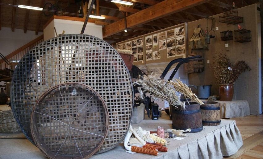
From Ponte Arche you reach Fiavé by bus: it takes about 15 minutes. In the village you can visit the Pile-Dwelling Museum and then, following the easy trail (20 minutes), discover what Bronze Age dwellings were really like in the Archeo Natura Park.

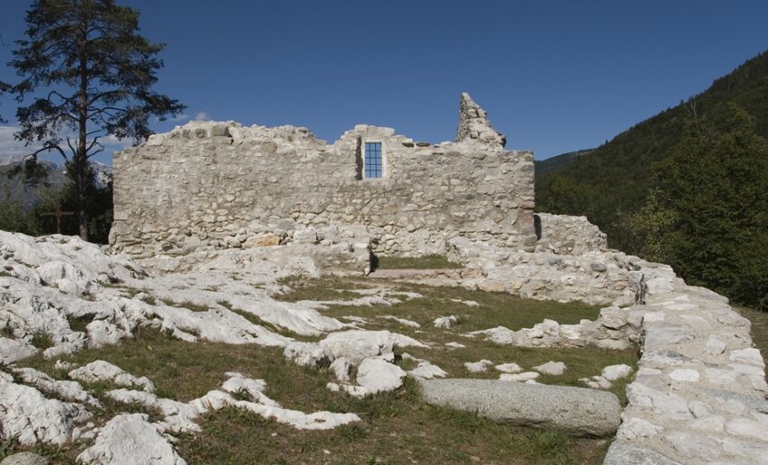
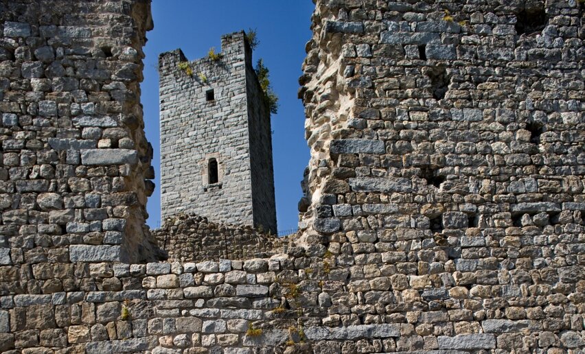
If you are more of a castle and knights type, take the bus to Stenico (10 minutes) and climb up to the majestic castle, symbol of the power of the Prince-Bishop of Trento in the Giudicarie Valleys.  Visiting the decorated rooms and collections will make you feel as if you are still in the 15th century.

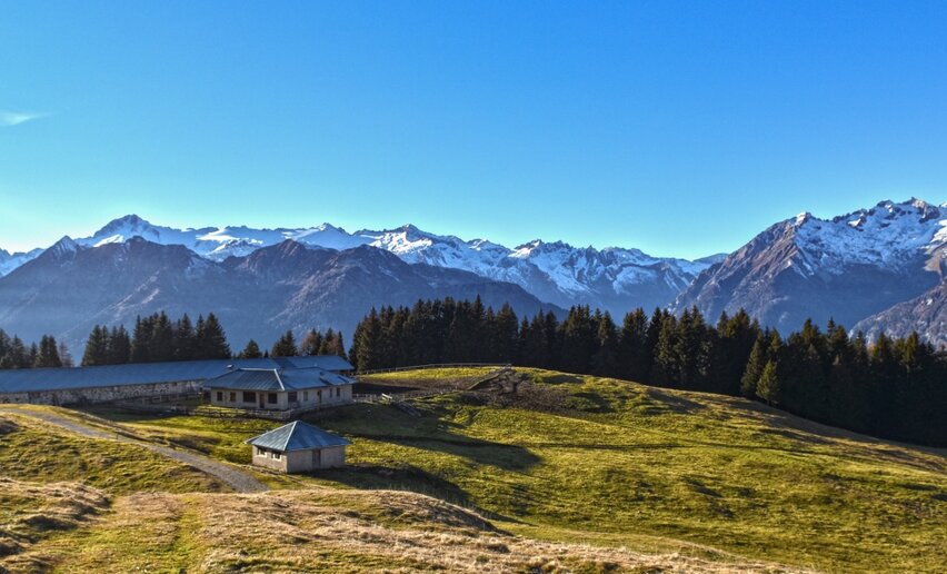
For biking enthusiasts

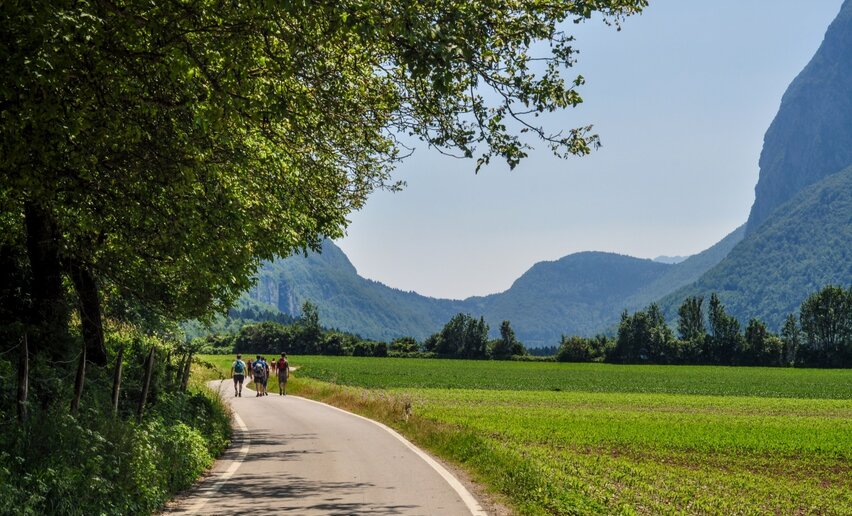
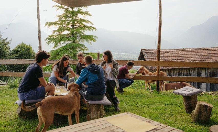
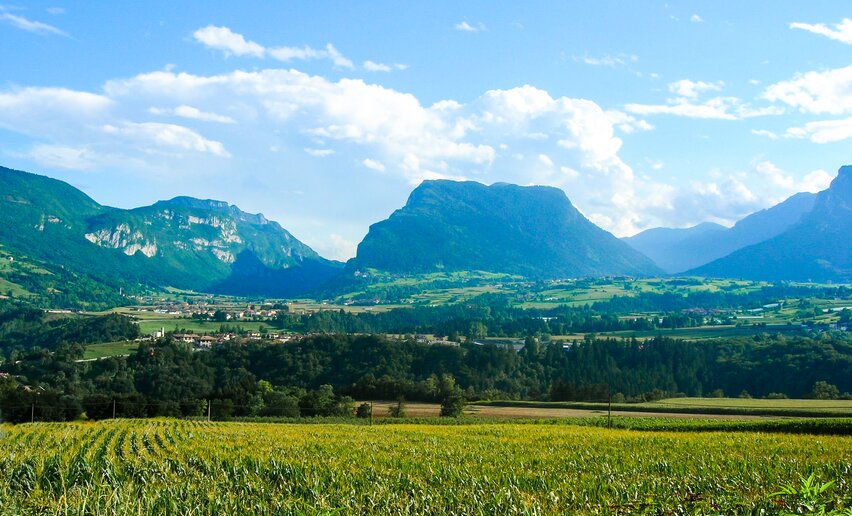
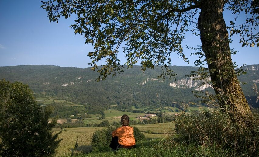
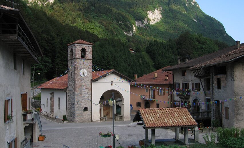
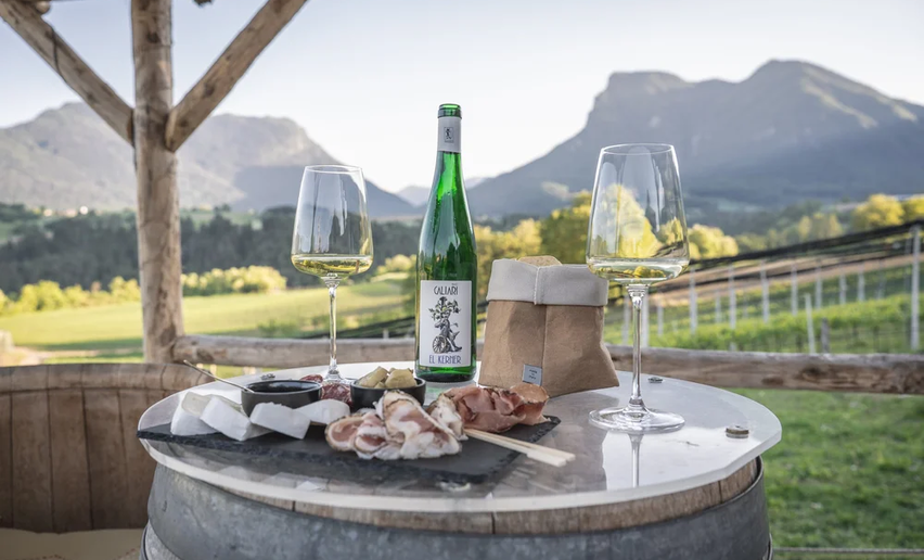
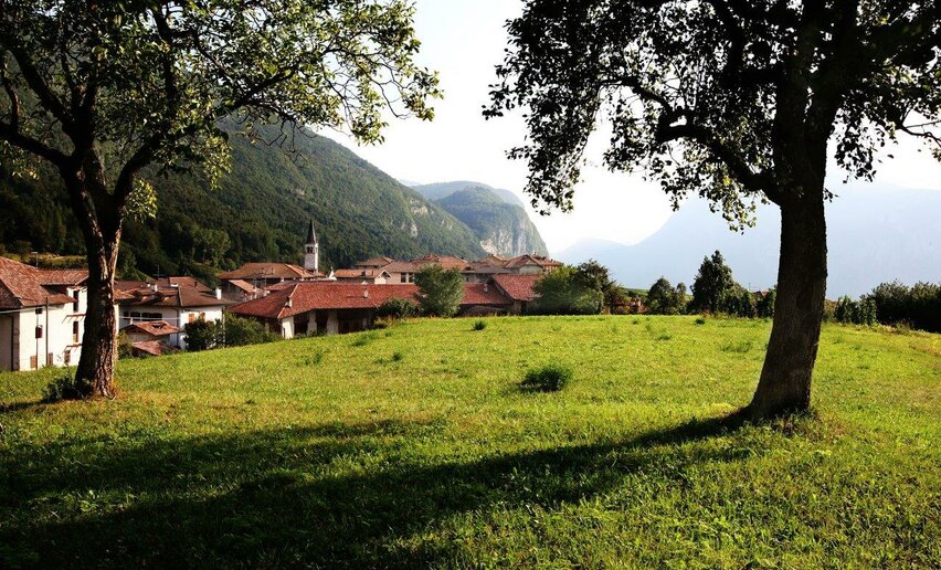
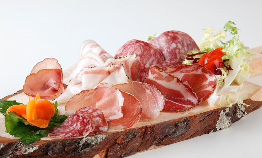
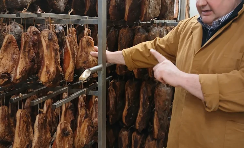
There is a trail made especially for those who, like you, love to cycle in nature, stopping frequently to discover all the beauties and tasty treats you encounter along the way.  Follow the "Kilometro Zero Unesco Bike Tour" route and explore the Lomaso and Bleggio areas, closing your loop at Ponte Arche. You will find small villages (don’t miss Rango, one of the most beautiful villages in Italy), agritourisms and farms that tell the most authentic story of this area.

DID YOU KNOW THAT...?
WITH THE GARDA GUEST CARD ALL PUBLIC TRANSPORT (INCLUDING BUS&GO) AND MANY ATTRACTIONS OF GARDA TRENTINO ARE FREE!
noleggio bici
A few more ideas for your visit
 
Comano
Ethnographic collection in Stenico
culture
Comano
BoscoArteStenico
culture
  • Garda Guest Card
Comano
Casa del Parco Flora
open
closed
nature
Comano
Lago di Valagola
nature
Comano
Val Lomasona
nature
Comano
Pieve del Bleggio
culture
Comano
Murales di Balbido
culture
  • Garda Guest Card
Comano
Parco Archeo Natura
open
closed
culture
Comano
Castel Restor
always open
culture
BIKE
Using your bike to get around? Cycle paths and back roads are the best way to move around. And when tiredness sets in, you can always take a bus back to base.
Love walking and fancy trying one of the many paths through Alto Garda?
 
On the top of Monte Casale | © Archivio Garda Trentino (ph. Watchsome), Garda Trentino
Intermediate
Comano
Monte Casale
Distance 11,6 km
Duration 5 h 00 min
Altitude difference (+) 1.005 m
Altitude difference (-) 1.005 m
Status
open
© Fototeca Trentino Sviluppo foto di A. Russolo, Garda Trentino
Intermediate
Comano
From Cornelle through the surrounding woods
Distance 8,0 km
Duration 3 h 30 min
Altitude difference (+) 391 m
Altitude difference (-) 394 m
Status
open
© Fototeca Trentino Sviluppo foto di P. Fiorini, North Lake Garda Trentino
Intermediate
Comano
Malga Movlina and Rifugio XII Apostoli
Distance 11,4 km
Duration 5 h 30 min
Altitude difference (+) 932 m
Altitude difference (-) 932 m
Status
open
View over Castel Stenico from BoscoArteStenico | © Archivio Garda Trentino (ph. M. Corradi), North Lake Garda Trentino
Difficult
Valle dei Laghi, Comano
Cammino di San Vili - High itinerary
Distance 92,7 km
Duration 40 h 00 min
Altitude difference (+) 4.259 m
Altitude difference (-) 5.596 m
Status
open
© Foto di Emanuelli, Garda Trentino
Intermediate
Comano, Tenno
Grotta Camerona e Lago di Tenno
Distance 10,6 km
Duration 4 h 00 min
Altitude difference (+) 380 m
Altitude difference (-) 377 m
Status
open
© APT Terme di Comano Dolomiti di Brenta, Garda Trentino
Intermediate
Comano
Malga Stabio e Cima Sèra
Distance 12,0 km
Duration 5 h 00 min
Altitude difference (+) 920 m
Altitude difference (-) 920 m
Status
open
Archaeological Site of San Martino | © VisitTrentino, Garda Trentino
Easy
Arco, Comano
Monte San Martino nel Lomaso (da S. Giovanni)
Distance 6,5 km
Duration 2 h 00 min
Altitude difference (+) 200 m
Altitude difference (-) 200 m
Status
open
© fototeca trentino sviluppo foto di B. Bolchi, North Lake Garda Trentino
Intermediate
Comano
Sentiero della Cooperazione
Distance 6,5 km
Duration 2 h 05 min
Altitude difference (+) 290 m
Altitude difference (-) 286 m
Status
open
Algone-valley | © Archivio Garda Trentino (ph. Watchsome), Garda Trentino
Intermediate
Comano
Val Algone: discovery trail in Parco Naturale Adamello Brenta
Distance 7,2 km
Duration 3 h 30 min
Altitude difference (+) 367 m
Altitude difference (-) 338 m
Status
open