aria.quick_link.navi aria.quick_link.skiptomaincontent aria.quick_link.footer
Garda Trentino Logo
Top

The Old Pinza Road

Riva del Garda

Category
Difficulty
Difficult
Duration
4:32
Duration in hours
Distance
10.5
Distance in km
Status
open
WSEN
Suggested period
Jan
Feb
Mar
Apr
May
Jun
Jul
Aug
Sep
Oct
Nov
Dec

 Itinerary that follows the signed path 402 from Bocca di Trat, at the border with Valle di Ledro, to Riva del Garda along one of the historic roads of Garda Trentino

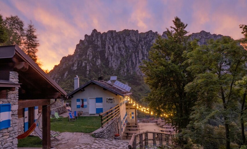
If you want to get back to where you started from, after the first stage of Garda Trek, this route, all downhill, is the quickest way back to Riva del Garda, passing through the town of Campi and then through the woods. You can also do this trek uphill.

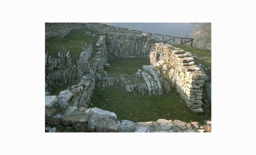
Once you get to Parisi, a detour along the Garda Trek Medium Loop will take you to the San Martino archaeological site. A path through the woods, where you will come across strange figures sculpted in wood, takes you to the higher area of the site. Here excavations uncovered a place of worship dating back to Pre-Roman times, which was converted into a Roman sanctuary, with the addition of a monumental staircase which can still be used today. This building, perched at the edge of the cliff, offers a breathtaking view over the towns beneath. Another few minutes and you come to the ruins of a village abandoned due to fire in the 8th century A.D. 
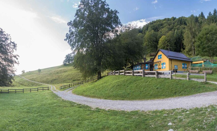
To return to Riva, follow directions for the Garda Trek Medium Loop as far as the town of Campi. Cross the road and rejoin the trail SAT 4012 in the lower part of the town.
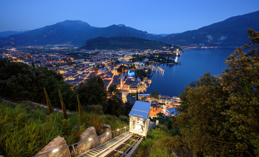
Further information and useful links

For more information on routes, services (guides, mountain huts, shops etc.) and hiking friendly accommodation: Garda Trentino - +39 0464 554444 

details
  • Linear route
  • Scenic
  • Refreshment stops available
  • Cultural/historical interest
Route info
Difficult
Route number
Distance
10,5 km
Duration
4 h 32 min
Altitude difference (+)
8 m
Altitude difference (-)
1.512 m
Physical effort
Scenary
Highest point
1.598 m
Lowest point
89 m
Suggestions

Capanna Grassi, about an hour from the mountain hut Rifugio Pernici, has been popular for years with lovers of traditional Trento cuisine and here you will find all the typical local specialities 

You might be interested in
Discover related tours
View from Segrom | © Archivio APT Garda Trentino, North Lake Garda Trentino
Intermediate
Torbole sul Garda - Nago
The Great War: along the Segrom ridge to Malga Zures
Distance 5,1 km
Duration 2 h 30 min
Altitude difference (+) 451 m
Altitude difference (-) 451 m
Status
open
View from Punta Larici | © Archivio Garda Trentino (ph. Mattia Bonavida), North Lake Garda Trentino
Intermediate
Riva del Garda
Punta Larici, the most spectacular lookout point on Lake Garda
Distance 3,2 km
Duration 1 h 45 min
Altitude difference (+) 367 m
Altitude difference (-) 34 m
Status
partially open
Walking in the forest | © Fototeca Trentino Sviluppo foto di A. Russolo, Garda Trentino
Intermediate
Comano
From Cornelle through the surrounding woods
Distance 8,0 km
Duration 3 h 30 min
Altitude difference (+) 391 m
Altitude difference (-) 394 m
Status
open
Cima Al Bal | © Fabrizio Novali, Garda Trentino
Difficult
Ledro, Riva del Garda
Cima Bal and Cima Nara
Distance 14,2 km
Duration 8 h 00 min
Altitude difference (+) 1.195 m
Altitude difference (-) 1.195 m
Status
open
Descent from Monte Altissimo | © Archivio Garda Trentino (ph. Watchsome), Garda Trentino
Difficult
Torbole sul Garda - Nago, Surroundings
Sentiero della Pace 11: Torbole - Nago to Rifugio Damiano Chiesa
Distance 11,1 km
Duration 6 h 25 min
Altitude difference (+) 1.843 m
Altitude difference (-) 0 m
Status
open
The Ponale Road | © Staff Outdoor Garda Trentino AC, Garda Trentino
Intermediate
Riva del Garda, Ledro
Ponale Path (from Ledro)
Distance 10,5 km
Duration 4 h 00 min
Altitude difference (+) 785 m
Altitude difference (-) 785 m
Status
closed