
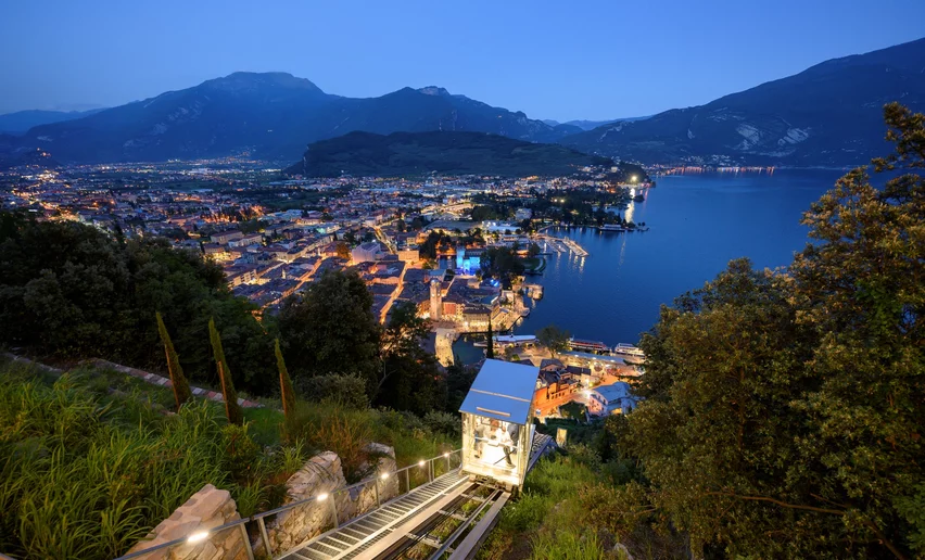
Start out with a hike through the valleys and mountain hamlets of Garda Trentino on little-frequented trails and country lanes and enjoyed the quietness of the route.
The first stage winds across the western part of Garda Trentino, for the most part in a mountain environment. Leaving the lake at your back, you head uphill to the north and pass through woods and farmland around the villages and towns.
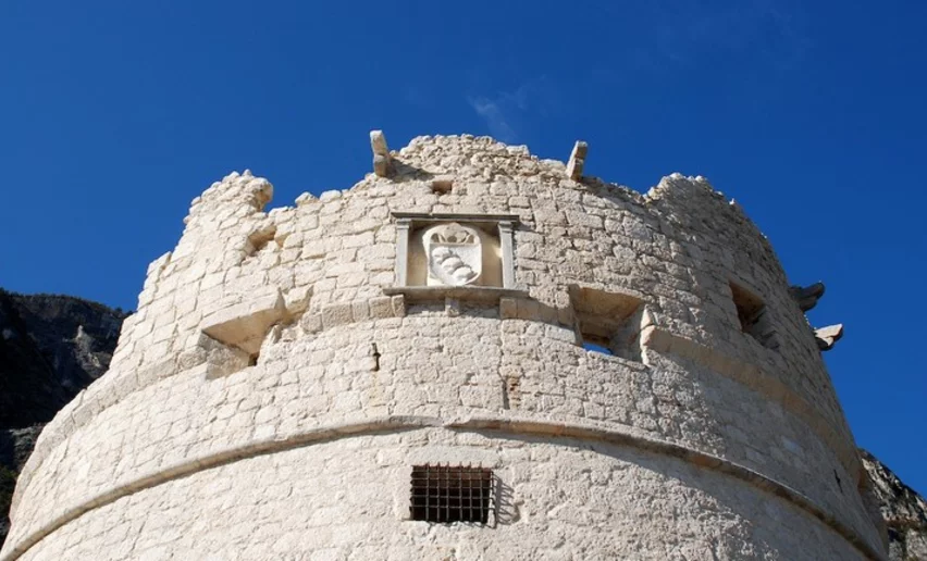
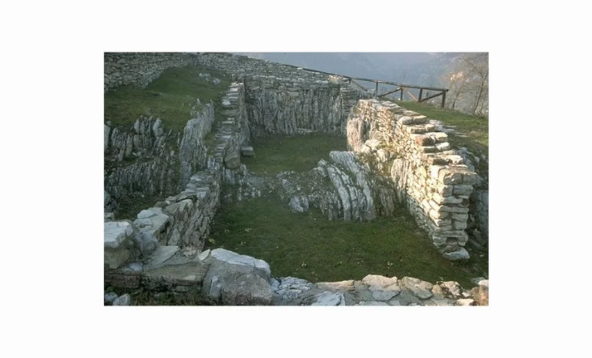
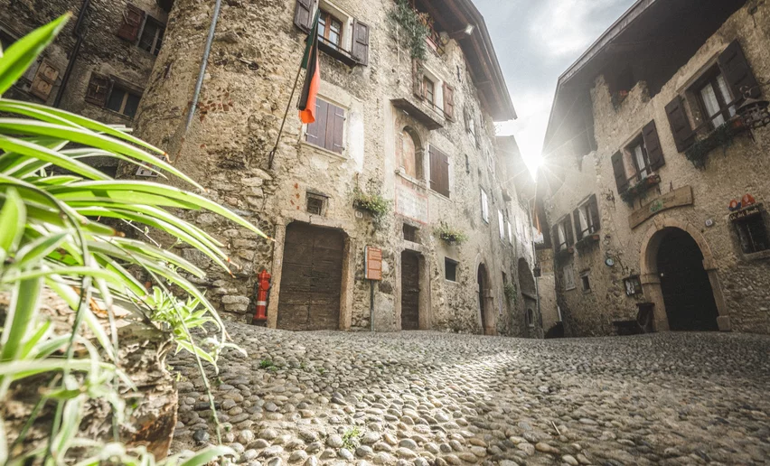
The trail touches on some points which are definitely worth a visit. Just above the little town of Campi there is the archaeological site of San Martino where you can visit the remains of an ancient village beside a place of worship dating back to Pre-Roman times.The Magnone stream which you cross to go up to Ville del Monte has gouged out a ravine here which is renowned for the colour of the rock and its lush vegetation. Canale di Tenno is a medieval village, which is worth a visit. The arrival point for this stage is the mountain hut Rifugio San Pietro which was built on the foundations of an ancient hermitage. The chapel which is still in use is open to visitors.
This trek can normally be done all year round, but in the winter months you might come across some snow on the way. Check the conditions of the trail if you are thinking of doing it from November to March. In this period it's advisable to check as well the opening of moutain huts and accommodation along the route, as they might be closed.
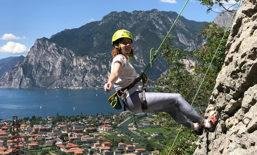
, North Lake Garda Trentino")


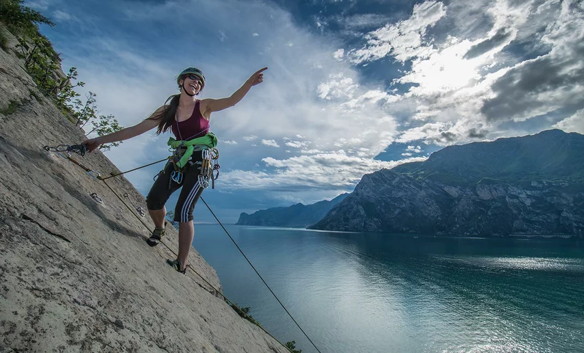
, North Lake Garda Trentino")
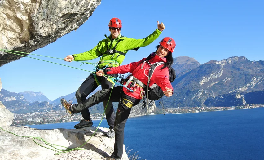
, North Lake Garda Trentino")
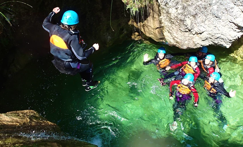
, North Lake Garda Trentino")


 , North Lake Garda Trentino")
The mountain hut Rifugio San Pietro has a limited number of beds. It is always advisable to contact the manager to check there are vacancies and book ahead.
For more information on routes, services (guides, mountain huts, shops etc.) and hiking friendly accommodation: Garda Trentino - +39 0464 554444

, Garda Trentino")


, Garda Trentino")


