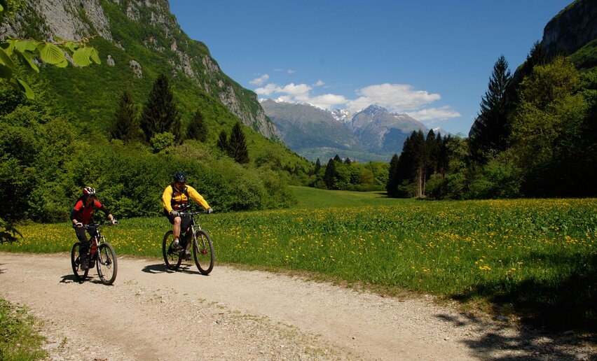
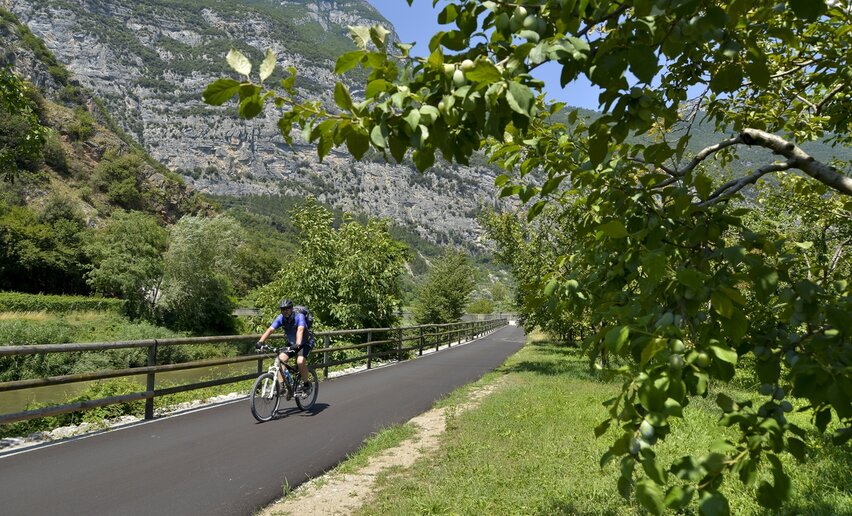
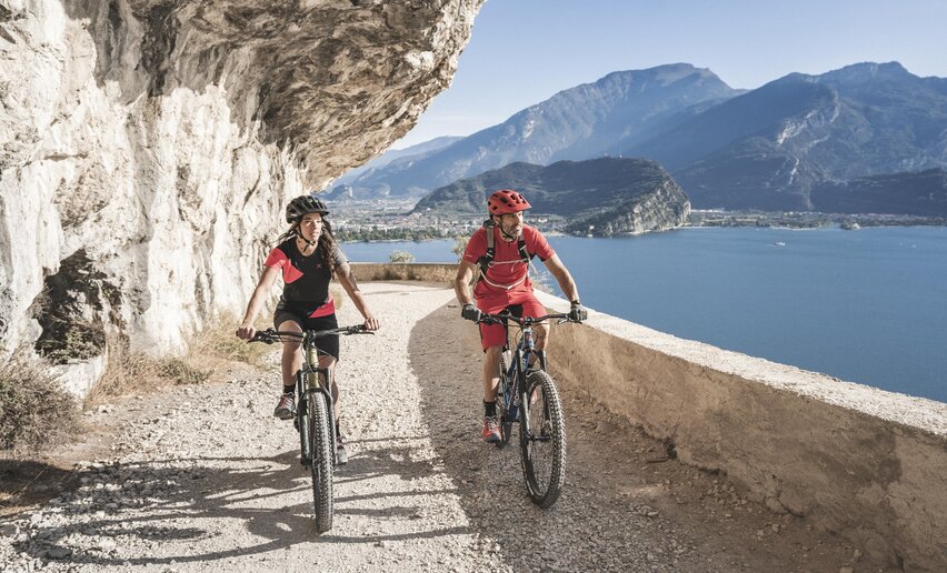
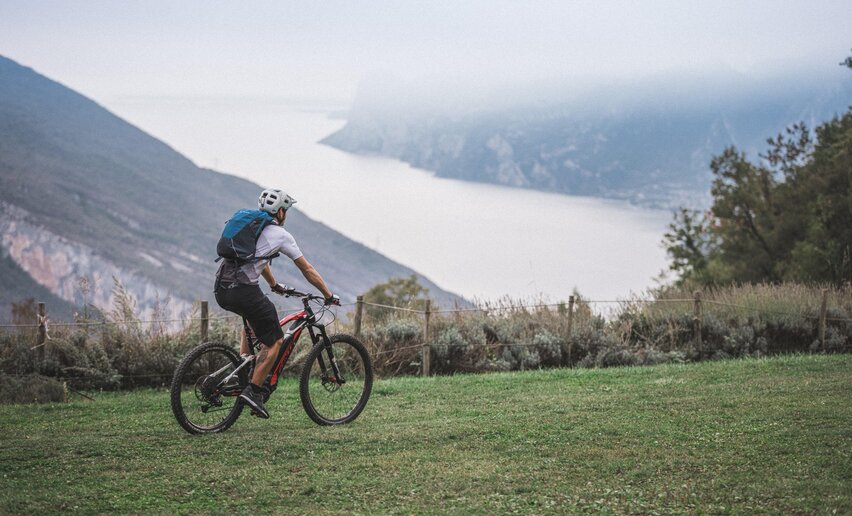
You have already chosen the route, now also choose the experts who can give you the right support. To best enjoy every tour, rely on MTB specialists: local guides, rentals, shuttles, and workshops ready to help you - even a bike, if needed.
details
Linear route
Route info
Easy
Route number
743c
Distance
1,7 km
Duration
04 min
Altitude difference (+)
0 m
Altitude difference (-)
360 m
Physical effort
Scenary
Highest point
841 m
Lowest point
473 m
Suggestions
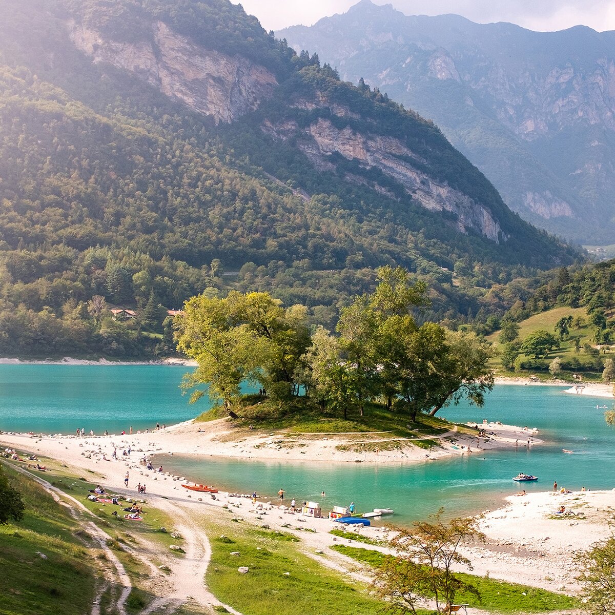
The variants of the 743. Bocca di Tovo Trail-Tour wind along the slopes of Monte Calino, located in a panoramic position overlooking the Tennese and Lake Garda.
Safety guidelines
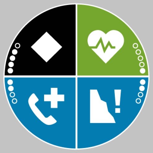
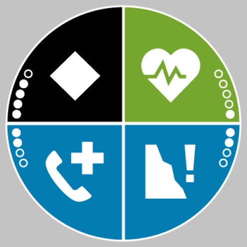
ITRS - International Trail Rating System
The ITRS is an objective methodology to classify routes and trails from the bikers' perspective evaluating four aspects:
Technical difficulty: required skill level
Shape: combined effect of length, ascent, and descent
Wilderness factor: necessary planning taking into account phone reception, rescue options, water supply, and wildlife
Trails are shared with other users. Always give way to hikers on foot.
Control your speed according to your experience.
Ride slowly on crowded trails, overtake politely and respectfully.
Never leave marked routes, do not use closed trails.
Avoid trails when muddy to prevent further damage.
Respect public and private property.
Always be self-sufficient.
Do not travel alone in isolated areas.
The information contained in this sheet is subject to unavoidable changes, so no indication has absolute value. It is impossible to avoid inaccuracies or errors completely considering the rapidity of environmental or weather changes that may occur. In this sense, we disclaim any responsibility for any changes suffered by the user. However, it is recommended to check the condition of the places and environmental or weather conditions before making an excursion.
Punto di partenza
Calino
Directions
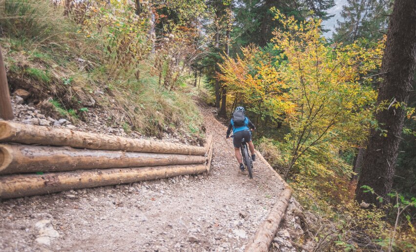
After 17.2 km, a forest road branches off to the left at the beginning of the trail. The steep trail, with some more challenging sections, joins the Rancione Trail after the descent at the lowest part before returning to the base section.
public transportation
The main centers of Garda Trentino - Riva del Garda, Arco, Torbole sul Garda, Nago - are connected by several urban and suburban bus lines, which allow access points to the routes to be reached.
Riva del Garda and Torbole sul Garda can also be reached by public navigation service.
Cycling excursions require specific clothing and equipment. Even on relatively short and easy outings, it is always better to be well equipped to avoid unpleasant surprises and to face unexpected events such as a sudden storm or a drop in energy: even the unexpected is part of the fun!
Also remember to carefully assess the type of route you are taking, the locations you plan to cross, and the current season. Has it rained? Be careful! The trails will be slipperier and therefore you need to be more cautious.
What to bring with you on a bike excursion?
adequate water supply according to your needs (consider temperature, refilling possibilities, duration of the route)
snacks (for example, dried fruit or bars)
windproof and rain jacket
extra jersey and socks
sunscreen
sunglasses
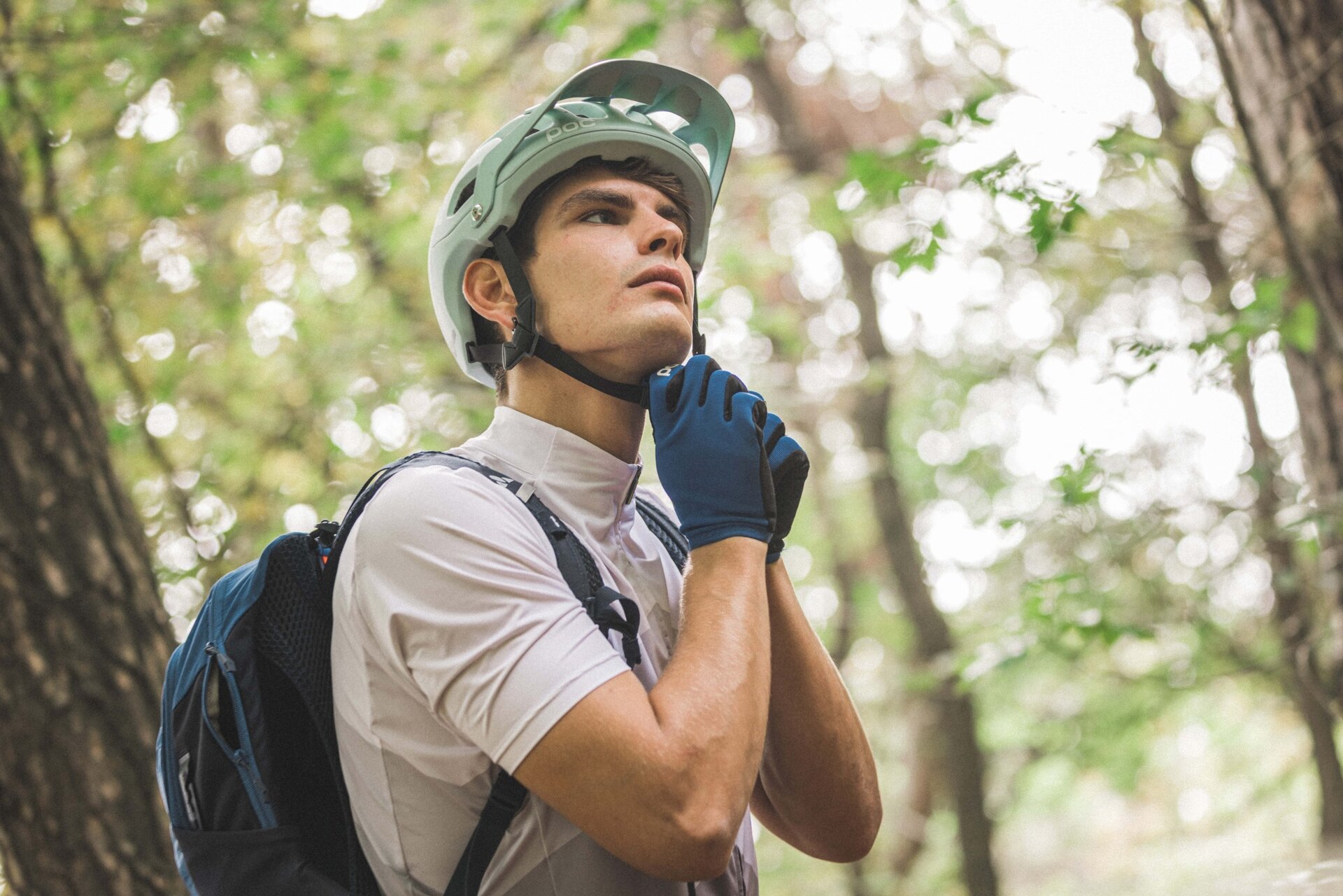
cycling gloves
map or GPS device
torchpreferably helmet or handlebar mounted (an unexpected event or technical failure can extend the duration of the excursion)
first aid kit
bike repair kit to fix mechanical issues
signaling whistle
Always let someone know where you are headed and how long you plan your excursion.


 Offers