aria.quick_link.navi aria.quick_link.skiptomaincontent aria.quick_link.footer
Garda Trentino Logo
Top

Variante Dos de Preghent - Trail

Ledro

Category
Difficulty
Easy
Duration
0:45
Duration in hours
Distance
5.2
Distance in km
Status
open
Suggested period
Jan
Feb
Mar
Apr
May
Jun
Jul
Aug
Sep
Oct
Nov
Dec

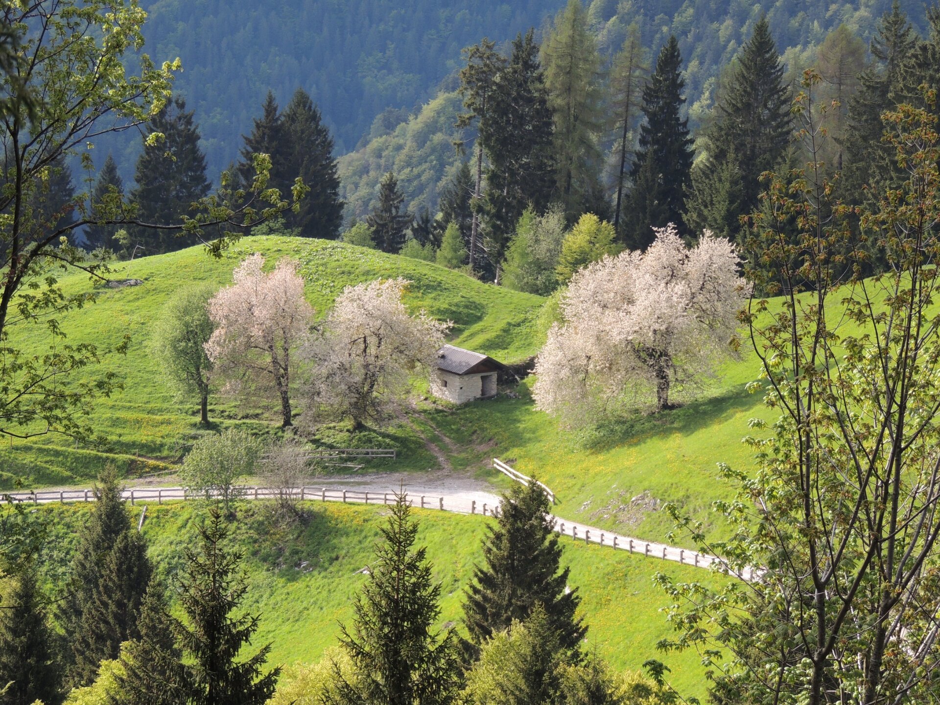
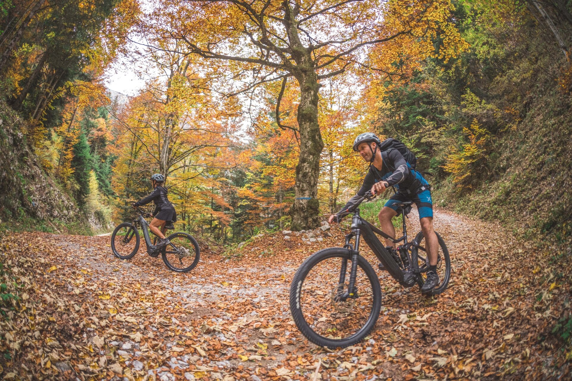
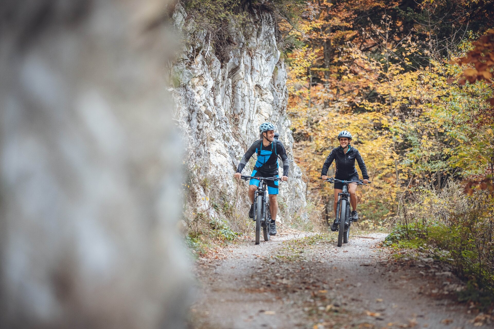
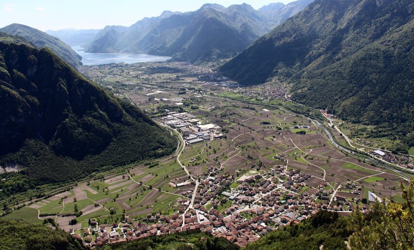
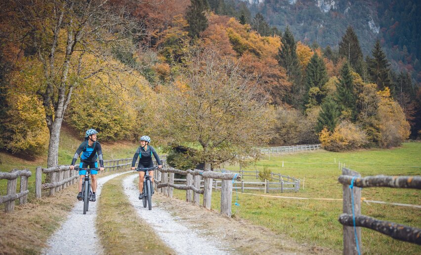
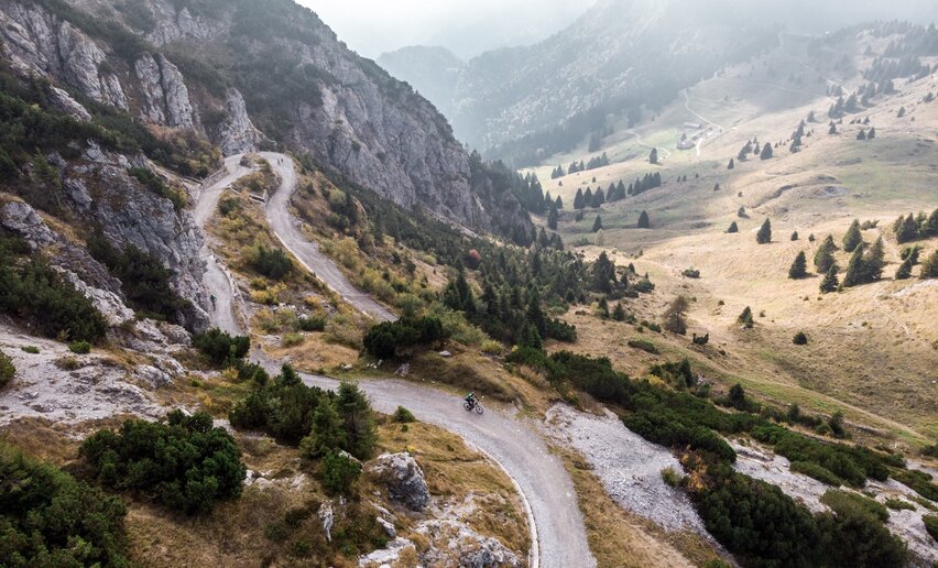
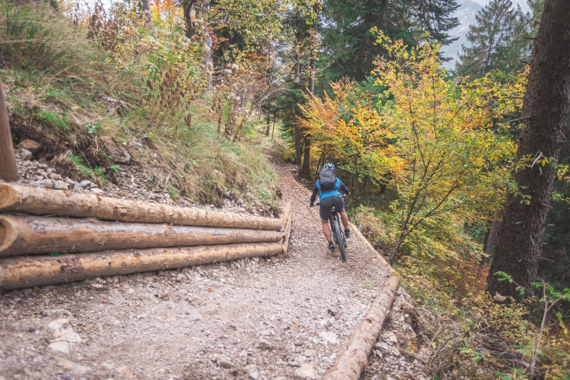
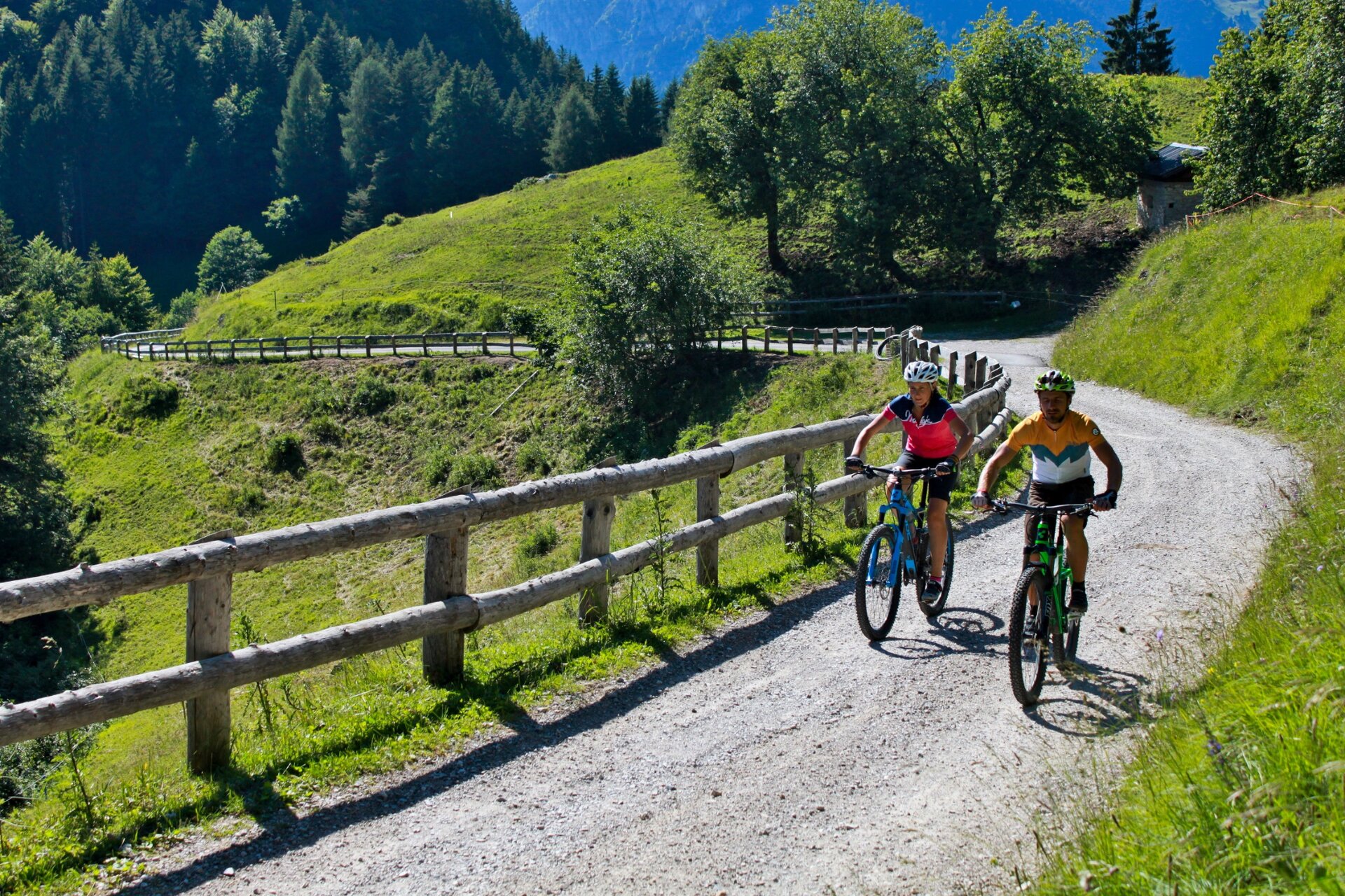
This variant of the 732. tour unwinds mostly through woods, whereas the last section, the most panoramic, goes across the meadows above the village of Locca at the entrance to Val Concei.

Signage. 732a. Variante Dos de Preghent - Trail

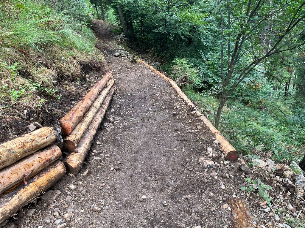
The descent, though much easier than the one via Malga Grassi, is quite steep and requires a little attention in some places.
Further information and useful links
Picked your route? Now find the right experts to go with it. Make the most of every ride with support from local MTB specialists – from guides and rentals to shuttle services and workshops.
details
  • Linear route
Route info
Easy
Route number
732a
Distance
5,2 km
Duration
45 min
Altitude difference (+)
36 m
Altitude difference (-)
520 m
Physical effort
Scenary
Highest point
1.250 m
Lowest point
739 m
Suggestions

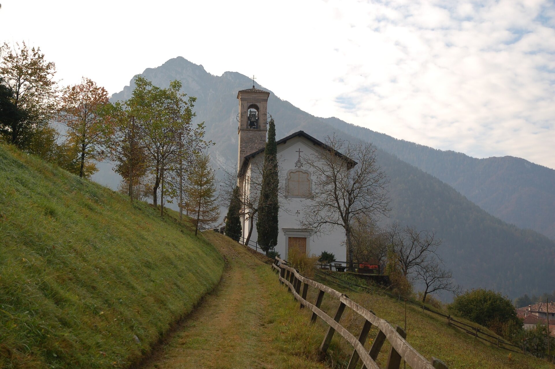
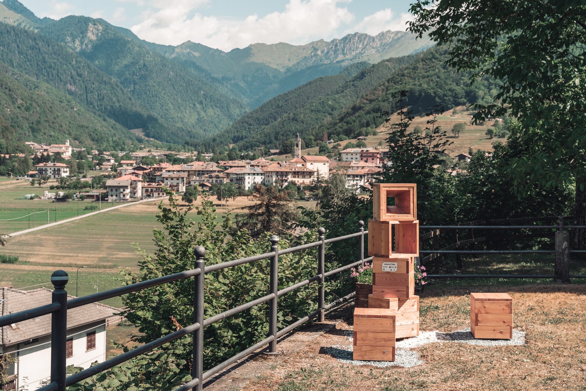
The church of Locca lies on the slopes of a sunny hill and offers wide reaching views over Val Concei. It is also the location of one of Games of Cubes installations, 100% designed and handcrafted in Valle di Ledro with the aim of bringing attention to some of the valley’s most beautiful and panoramic spots.

You might be interested in
Discover related tours
Bikers during the Bike Marathon | © APT Garda Trentino , Garda Trentino

Difficult
Arco, Comano, Dro & Drena, Riva del Garda, Tenno
Ronda Extrema
Distance 88,8 km
Duration 8 h 00 min
Altitude difference (+) 4.199 m
Altitude difference (-) 4.162 m
Status

open
Cavedine Lake | © Archivio Garda Trentino (ph. Watchsome), Garda Trentino
Easy
Valle dei Laghi, Dro & Drena
Cavedine Shortcut
Distance 7,1 km
Duration 40 min
Altitude difference (+) 4 m
Altitude difference (-) 7 m
Piazza III Novembre in Riva del Garda | © Archivio Garda Trentino (ph. Watchsome), Garda Trentino
Difficult
Riva del Garda, Ledro
From Lake Garda to Lake Ledro via Ponale
Distance 33,4 km
Duration 3 h 00 min
Altitude difference (+) 1.009 m
Altitude difference (-) 1.009 m
Status
open
Tiarno di Sotto in spring | © Archivio Garda Trentino (ph. Renzo Mazzola), Garda Trentino
Intermediate
Ledro
Bocca Giumella Trail - Tour
Distance 17,2 km
Duration 3 h 30 min
Altitude difference (+) 840 m
Altitude difference (-) 840 m
Status
open
Pil Road between the terraces of Tenno | © Archivio Garda Trentino (ph. Watchsome), Garda Trentino
Difficult
Tenno, Arco, Dro & Drena
San Giovanni Trail-Tour
Distance 37,3 km
Duration 5 h 50 min
Altitude difference (+) 1.410 m
Altitude difference (-) 1.410 m
Status
open
The view from Lomaso | © Archivio Garda Trentino (ph. Tommaso Prugnola), Garda Trentino
Difficult
Arco, Comano, Valle dei Laghi, Dro & Drena
Lomaso Explorer - Tour
Distance 51,2 km
Duration 7 h 00 min
Altitude difference (+) 1.590 m
Altitude difference (-) 1.590 m
Status
open