aria.quick_link.navi aria.quick_link.skiptomaincontent aria.quick_link.footer
Garda Trentino Logo
Top

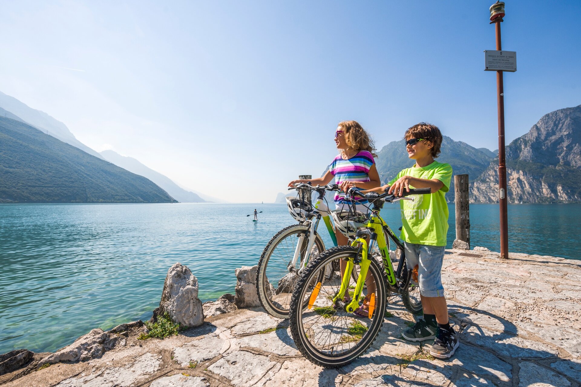
Monte Brione Family Tour

Torbole sul Garda - Nago, Riva del Garda, Arco

Category
Difficulty
Easy
Duration
0:50
Duration in hours
Distance
8.5
Distance in km
Status
open
Suggested period
Jan
Feb
Mar
Apr
May
Jun
Jul
Aug
Sep
Oct
Nov
Dec

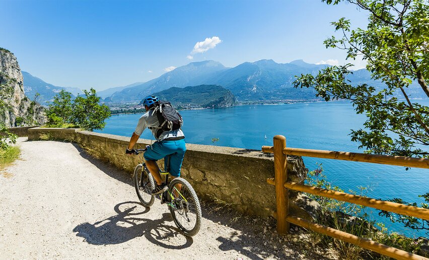
Short tour, completely flat, around Monte Brione 

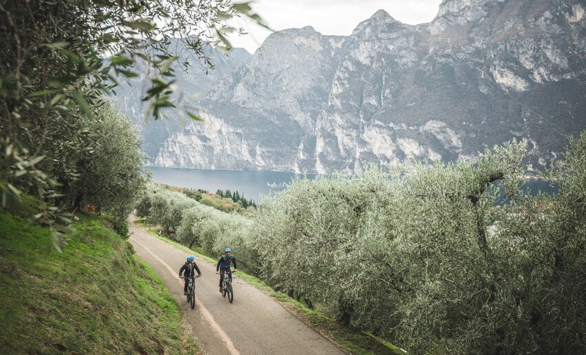
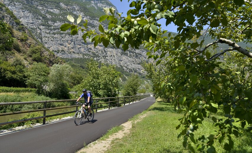
On this itinerary you bike on cycle paths and paved roads; that's why it is suitable for all kinds of bikes. The protagonist of the loop is Monte Brione: you do not have to climb on it, but you pedal all around. 

There are no ascents, so even smaller children can bike this easy trail 
Further information and useful links
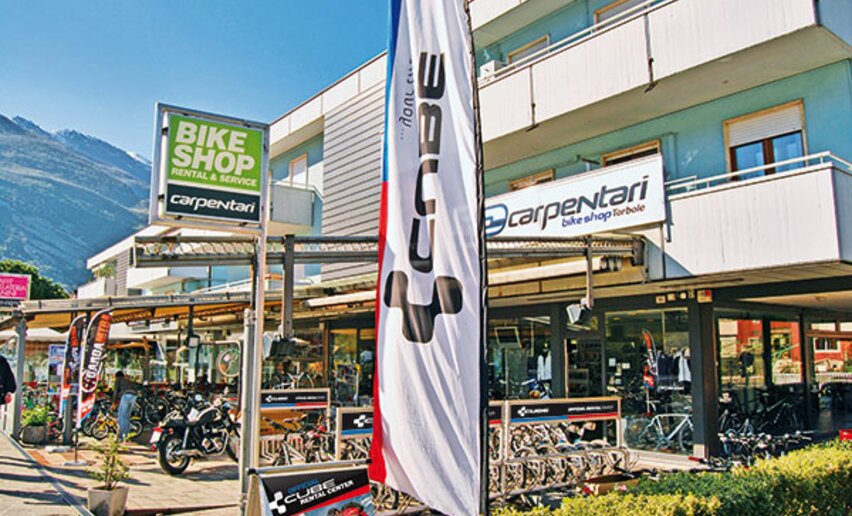
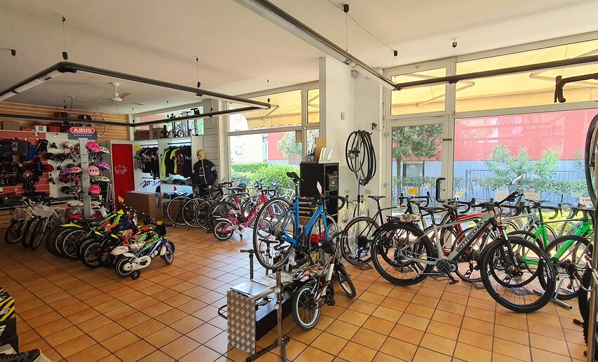
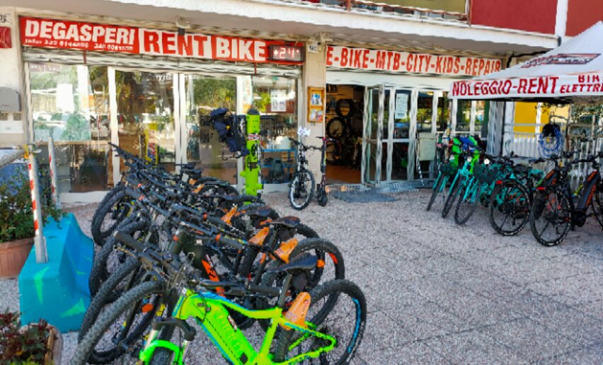
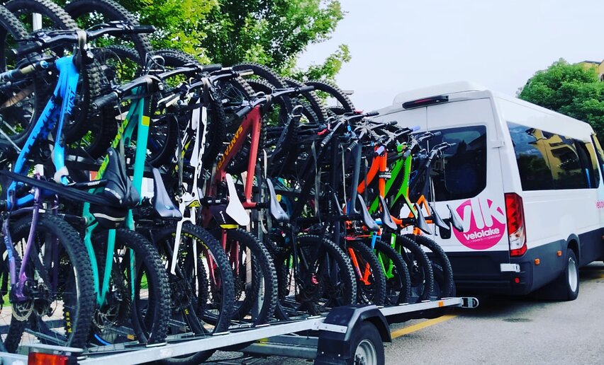
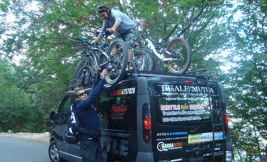
Picked your route? Now find the right experts to go with it. Make the most of every ride with support from local MTB specialists – from guides and rentals to shuttle services and workshops.
details
  • Round trip
  • Refreshment stops available
  • Family-friendly
  • Flora
Route info
Easy
Route number
F2
Distance
8,5 km
Duration
50 min
Altitude difference (+)
68 m
Altitude difference (-)
68 m
Physical effort
Scenary
Highest point
80 m
Lowest point
62 m
Suggestions

In the area of Porto San Nicolò there are several ice cream shops. Do not miss the opportunity to taste a delicious gelato! 

You might be interested in
Discover related tours

Ascent of Monte Brione | © Archivio Garda Trentino (ph. Tommaso Prugnola), Garda Trentino
Intermediate
Riva del Garda
Monte Brione Trail-Tour
Distance 6,2 km
Duration 50 min
Altitude difference (+) 240 m
Altitude difference (-) 240 m
Status

open
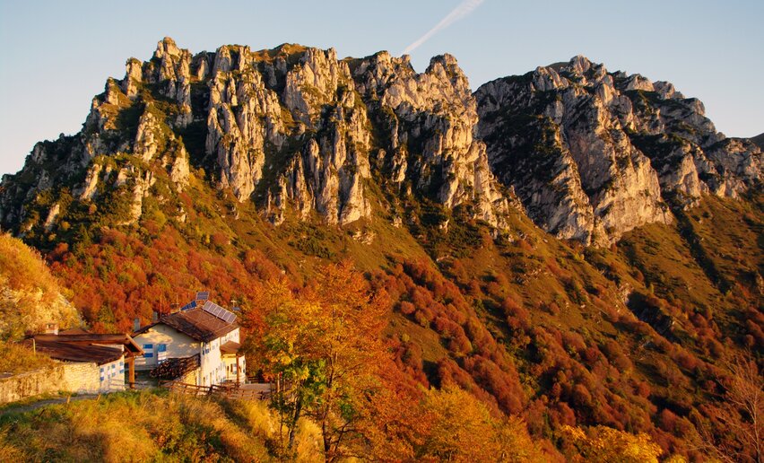
Rifugio Pernici with the Pichea mountain ridge in the background | © Archivio Garda Trentino (ph. Alessandro de Guelmi), Garda Trentino
Difficult
Ledro, Riva del Garda
Rifugio Pernici Trail-Tour
Distance 41,3 km
Duration 8 h 00 min
Altitude difference (+) 1.810 m
Altitude difference (-) 1.810 m
Status
open
Cycling path - Dro | © Archivio APT Garda Trentino (ph. Vuilleumier) , Garda Trentino
Easy
Arco, Dro & Drena
Dro Family Tour
Distance 9,6 km
Duration 1 h 05 min
Altitude difference (+) 57 m
Altitude difference (-) 58 m
Status
open
Descent from Monte Creino | © Archivio Garda Trentino (ph. Tommaso Prugnola), Garda Trentino
Difficult
Val di Gresta & Mori
Maso Naranch Variant Trail
Distance 5,7 km
Duration 30 min
Altitude difference (+) 90 m
Altitude difference (-) 800 m
Status
open
The road between Ranzo and Lon | © Archivio Garda Trentino (ph. Tommaso Prugnola), Garda Trentino
Difficult
Valle dei Laghi
Valle dei Laghi Trail-Tour
Distance 43,8 km
Duration 6 h 00 min
Altitude difference (+) 1.420 m
Altitude difference (-) 1.420 m
Status
open
Trail descending from Malga Grassi | © Archivio Garda Trentino (ph. Tommaso Prugnola), Garda Trentino
Intermediate
Riva del Garda, Tenno
Malga Grassi Trail-Tour
Distance 24,2 km
Duration 4 h 00 min
Altitude difference (+) 1.130 m
Altitude difference (-) 1.130 m
Status
open