aria.quick_link.navi aria.quick_link.skiptomaincontent aria.quick_link.footer
Garda Trentino Logo
Top

GardaTrek - Medium Loop: 4 stages around Garda Trentino

Torbole sul Garda - Nago, Dro & Drena, Arco, Riva del Garda, Tenno

Category
Difficulty
Intermediate
Duration
29:05
Duration in hours
Distance
72.6
Distance in km
Status
open
Suggested period
Jan
Feb
Mar
Apr
May
Jun
Jul
Aug
Sep
Oct
Nov
Dec

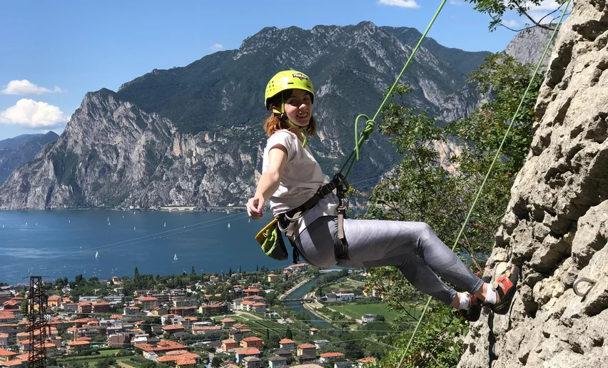
4 stages hikeable all year round, from the lake shore to more than 1000 m. a.s.l., from Mediterranean vegetation to Alpine woods: one loop, all the variety of Garda Trentino!

The GardaTrek - Medium Loop starts and finishes in Riva del Garda: the hike is a loop across the mountains around the Basso Sarca, the plain of the River Sarca, and winds up and downhill so even someone who is not an experienced mountaineer but loves long walks in the mountains can enjoy all of the environments and landscapes in Garda Trentino.

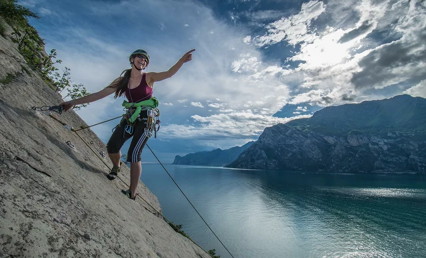
The route runs halfway along paths, mule tracks and secondary roads and is entirely signposted. This is not a route that requires mountaineering techniques, but it is still necessary to have a good training.

This hiking route can normally be done all year round, but in the winter months you might come across some snow on the way. For this reason you should check the conditions of the trails if you are thinking of doing it from November to March. In this period it's advisable to check as well the opening of moutain huts and accommodation along the route, as they might be closed.  

Further information and useful links
  • The Medium Loop is broken up into stages which means you can enjoy different types of accommodation during the trek. The first stage finishes at the mountain hut Rifugio San Pietro where you can stay overnight and try out local culinary specialities. 
  • The other stages pass through a number of places in the area where you can find accommodation to suit all tastes, from campsites to farmhouses, B&Bs or hotels. We recommend staying in one of our Outdoor Friendly members where you will find special facilities for sports lovers.

For more information on routes, services (guides, mountain huts, shops etc.) and hiking friendly accommodation: Garda Trentino - +39 0464 554444 

details
  • Multi-stage route
  • Scenic
  • Geological highlights
  • Round trip
  • Refreshment stops available
  • Cultural/historical interest
  • Flora
Route info
Intermediate
Route number
Distance
72,6 km
Duration
29 h 05 min
Altitude difference (+)
4.262 m
Altitude difference (-)
4.265 m
Physical effort
Scenary
Highest point
1.095 m
Lowest point
62 m
Suggestions

The Medium Loop is the ideal route to start or close the hiking season, with a not too long but always scenic route. 

You might be interested in
Discover related tours
Bunker from WWII - Dos Tenim (Nago - Torbole) | © Staff Outdoor GardaTrentino MM, Garda Trentino
Intermediate
Torbole sul Garda - Nago, Arco, Riva del Garda
The "Blue Line" of Garda Trentino
Distance 15,2 km
Duration 5 h 20 min
Altitude difference (+) 291 m
Altitude difference (-) 293 m
Status
open
Flying over the Alps | © Tommaso Prugnola, Garda Trentino
Easy
Ledro
Bocca Caset. Flying over the Alps
Distance 4,6 km
Duration 2 h 00 min
Altitude difference (+) 288 m
Altitude difference (-) 288 m
Status
open
© APT Terme di Comano Dolomiti di Brenta, Garda Trentino
Intermediate
Comano
Malga Stabio e Cima Sèra
Distance 12,0 km
Duration 5 h 00 min
Altitude difference (+) 920 m
Altitude difference (-) 920 m
Status
open
© Azienda per il Turismo Terme di Comano Dolomiti di Brenta, Garda Trentino
Intermediate
Comano
Val Marcia: the valley of witches
Distance 7,0 km
Duration 3 h 00 min
Altitude difference (+) 875 m
Altitude difference (-) 81 m
Status
open
Sunset from the Madonnina di Besta | © Giorgio Dubini, Garda Trentino
Intermediate
Ledro
Ledro Trek Medium - Stage 1
Distance 11,0 km
Duration 5 h 00 min
Altitude difference (+) 942 m
Altitude difference (-) 1.006 m
Status
open
Towards the summit of Monte Casale | © Archivio Garda Trentino (ph. Watchsome), Garda Trentino
Intermediate
Comano
Monte Casale
Distance 11,6 km
Duration 5 h 00 min
Altitude difference (+) 1.005 m
Altitude difference (-) 1.005 m
Status
open