Directions
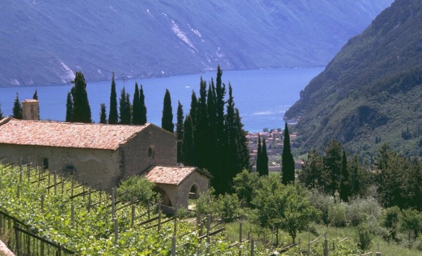
Departure from Piazzetta Lietzmann in Torbole sul Garda to take the lakeside promenade into the centre of Riva del Garda. After crossing the old town centre, follow the signs for the Bastion and after a few bends continue to the right along the dirt road, following the signs for Santa Maria Maddalena/Garda Trek Medium/Top.
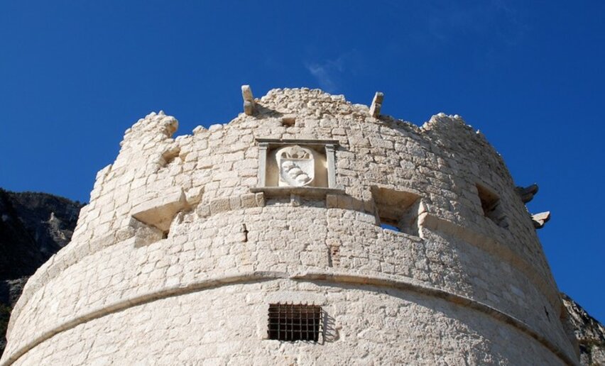
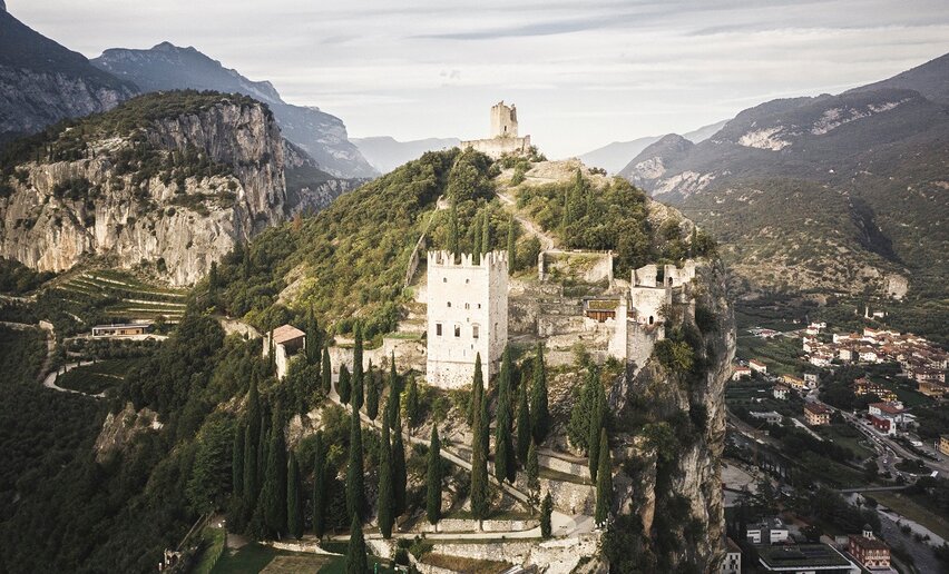
At Foci San Giacomo, continue towards Deva and, after climbing up to the Church of San Lorenzo, turn right onto the slope that leads to the GROM viewpoint. Having passed through the historic village of Frapporta, you arrive at the village of Tenno and, near the town hall, follow the signs for the 'Bussè nature trail'. You then join the Pil trail, which, after a short even stretch, leads to Volta di No. Shortly after the signs for Varignano (a stretch of cemented road), on the left (near a large pylon) is the little path that crosses the Rio Bordellino (watch out for the small wooden bridge to cross). Continuing to the right after the bridge, you come to the road for Padaro, climb it briefly and take the diversion on the right for Olivaia di Arco, which you follow all the way to the Rilke Promenade under the Castle of Arco (turn left immediately after the balcony/viewpoint) to reach the Arco bridge.
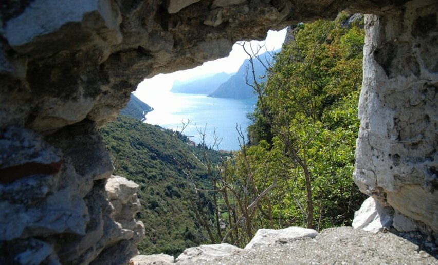
From the bridge for the cycle path over the Sarca, take the subway and then follow the signs for Massone and, just before the church of San Martino, turn right uphill (Via della Scaletta), continuing straight ahead, with the village of Massone behind you. As soon as you leave Massone, take the dirt road of the olive grove on the left that leads through Bolognano (Via Saibanti). Take Via Cacciatori and continue straight on, leaving the asphalt road and, immediately after the barrier, continue straight on the trail that cuts through the main forestry road (also follow the gpx track). At the first fork, turn right and follow the signs for Busa dei Capitani, taking the descent on the right at the next fork in the road. When you reach the area of the wartime constructions, keep to the right and tackle the last uphill bends that lead to a steep descent (be careful!). From here then turn right and follow the signs for "Stütztpunkt Perlone".
From the viewpoint, descend to the right and take the path from Busa dei Capitani (turn left at the bottom of the steps) which leads to a large opening (another viewpoint); keeping to the right, along the wide forest road, a little further on you will find a trail on the left which leads to Castagneto di Nago. From here, descend towards Nago, paying attention on the short, steep and equipped final descent. Go through the centre of Nago in the direction of Forte Alto and continue along the dirt road (Via Castel Penede) that surrounds the castle of the same name. Finally, descend towards Torbole along the ancient Strada di Santa Lucia. From the centre of Torbole, it is a short distance to the starting point.


 | © Archivio Garda Trentino, Garda Trentino")