Garda Trentino Logo
Top

From Campi to Bocca Saval, alongside the traces of the Great War

Riva del Garda

Difficulty
Difficult
Duration
4:00
Duration in hours
Distance
15.6
Distance in km
Status
open
Suggested period
Jan
Feb
Mar
Apr
May
Jun
Jul
Aug
Sep
Oct
Nov
Dec
From the alpine pastures of Campi to areas that were once the backdrop to the First World War: a high-altitude panoramic crossing from Rifugio Pernici to Saval, ending with the archaeological zone of San Martino.
A ring trail from the village of Campi, a hamlet of Riva del Garda.

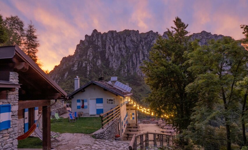
The climb from Malga Grassi to Rifugio Pernici is a long and demanding one, but it pays off with a spectacular crossing leading to Bocca Saval, which hosts a military hospital from the First World War (the whole area is brimming with history).

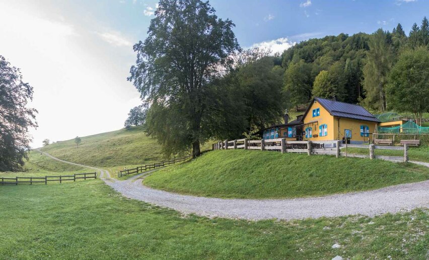
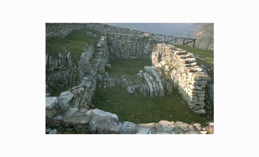
The descent takes us back to a more rural environment with pastures and alpine huts; we come across the Malga/Baita Gelos and Malga Grassi, from which we descend to reach the chestnut grove of the San Martino archaeological zone (taking time out for a visit). From the archaeological zone, we then return briefly to the village of Campi.

Water points: if you're passing through in late spring/summer, fill up at Campi where there are a few fountains.. Afterwards you will only encounter the stopping points of Rifugio Pernici and Malga Grassi (check the opening periods).

Further information and useful links
For more information on routes and services: guides, shops and outdoor friendly friendly accommodation:  APT Garda Trentino, Tel. +39 0464 554444 www.gardatrentino.it    
Route info
Difficult
Route number
Distance
15,6 km
Duration
4 h 00 min
Altitude difference (+)
1.205 m
Altitude difference (-)
1.205 m
Physical effort
Scenary
Highest point
1.736 m
Lowest point
615 m
Suggestions
Those who love the climbs up to Bocca Saval can ascend to Cima Parì (1991 m) or Cima Caret (1785 m) to admire the view of the Ledro side of the mountain.  
You might be interested in
Discover related tours
© Galvagni Foto - Archivio Garda Trentino Trail, Garda Trentino
Difficult
Tenno, Arco, Riva del Garda, Ledro
Garda Trentino Trail
Distance 69,3 km
Duration 16 h 00 min
Altitude difference (+) 4.519 m
Altitude difference (-) 4.529 m
Status
open
Val di Tovo | © Garda Trentino Trail , Garda Trentino
Difficult
Arco, Tenno
Val di Tovo Express
Distance 13,8 km
Duration 3 h 40 min
Altitude difference (+) 1.353 m
Altitude difference (-) 1.353 m
Status
open
View from Punta Larici | © Garda Trentino Trail , Garda Trentino
Intermediate
Ledro, Riva del Garda
Ponale - Larici - Rocchetta
Distance 21,8 km
Duration 5 h 40 min
Altitude difference (+) 1.384 m
Altitude difference (-) 1.384 m
Status
open
View of the Lake Ledro | © Staff Outdoor Garda Trentino AC, Garda Trentino
Intermediate
Ledro
Coste di Bariolo
Distance 9,9 km
Duration 3 h 00 min
Altitude difference (+) 380 m
Altitude difference (-) 380 m
Status
open
© Francesco Bergamaschi, Garda Trentino
Difficult
Ledro, Riva del Garda
Ledro Sky Trentino Grand Finale
Distance 21,5 km
Duration 5 h 00 min
Altitude difference (+) 1.674 m
Altitude difference (-) 1.674 m
Status
open
Cima Giochello | © Garda Trentino Trail , Garda Trentino
Difficult
Riva del Garda
Vertical Crazidei
Distance 11,7 km
Duration 3 h 30 min
Altitude difference (+) 1.501 m
Altitude difference (-) 1.501 m
Status
closed