aria.quick_link.navi aria.quick_link.skiptomaincontent aria.quick_link.footer
Garda Trentino Logo
Top

From Passo Bordala to Monte Biaena

Val di Gresta

Category
Difficulty
Easy
Duration
1:40
Duration in hours
Distance
3.7
Distance in km
Status
open
Suggested period
Jan
Feb
Mar
Apr
May
Jun
Jul
Aug
Sep
Oct
Nov
Dec

Panoramic walk on mixed terrain between asphalt and rocky slabs, with views of the Val di Gresta, Lake Garda and Vallagarina.

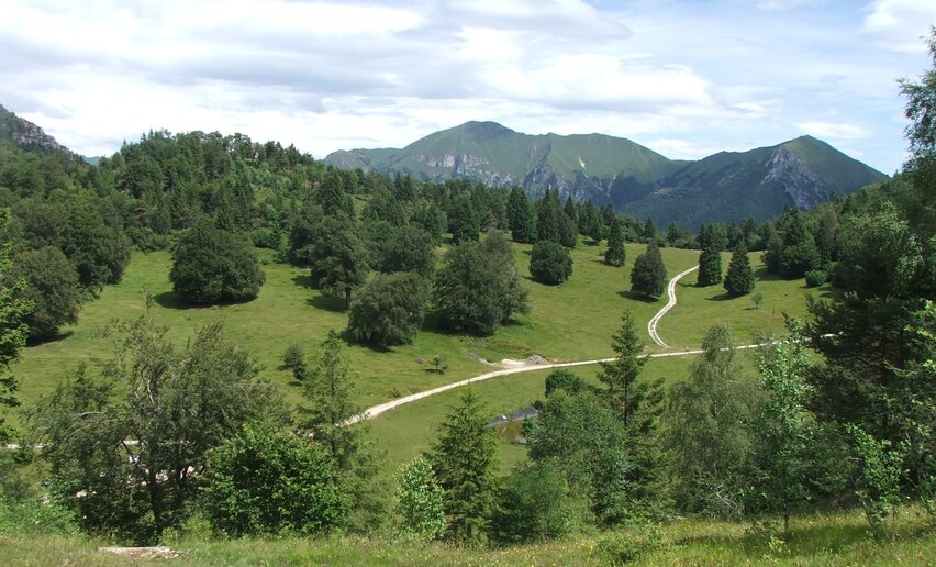
We park the car at Passo Bordala and then set off on a not too demanding walk to Monte Biaena.  Initially, the road is asphalted, passing some meadows, and then taking the forest road into the woods along a path. Once you reach some rocky slabs, you can enjoy the panorama of Monte Stivo, Val di Gresta and Lake Garda in the background. Once past the ‘Capanna Monte Biaena’ hut, we reach the meadows at the summit, at an altitude of 1618 m. On reaching the summit, the view opens out over the Vallagarina and its mountains.  

Further information and useful links

 For more information on routes, services (guides, mountain huts, shops etc.) and hiking friendly accommodation: Garda Trentino - +39 0464 554444

details
  • Linear route
  • Scenic
  • Refreshment stops available
  • Flora
  • Secured passages
Route info
Easy
Route number
Distance
3,7 km
Duration
1 h 40 min
Altitude difference (+)
353 m
Altitude difference (-)
9 m
Physical effort
Scenary
Highest point
1.605 m
Lowest point
1.251 m
Suggestions

Trail not recommended on hot days. In spring the meadows are in blossom, among peonies and anemones the view is priceless. 

You might be interested in
Discover related tours
The Ponale Road | © Staff Outdoor Garda Trentino AC, Garda Trentino
Intermediate
Riva del Garda, Ledro
Ponale Path (from Ledro)
Distance 10,5 km
Duration 4 h 00 min
Altitude difference (+) 785 m
Altitude difference (-) 785 m
Status
open
Trekking to the San Pietro Refuge | © Archivio Garda Trentino (ph. Tommaso Prugnola), Garda Trentino
Intermediate
Tenno
Hike to Rifugio San Pietro
Distance 5,2 km
Duration 2 h 45 min
Altitude difference (+) 510 m
Altitude difference (-) 510 m
Status
open
Hiking in Bosco Caproni | © Archivio Garda Trentino (ph. Tommaso Prugnola), Garda Trentino
Easy
Arco
Bosco Caproni and Trenches of Vastrè
Distance 5,8 km
Duration 2 h 00 min
Altitude difference (+) 220 m
Altitude difference (-) 219 m
Status
open
lasta path-visitrovereto | © x bruschetti, Garda Trentino
Intermediate
Surroundings
Sentiero della Lasta
Distance 7,8 km
Duration 4 h 05 min
Altitude difference (+) 757 m
Altitude difference (-) 742 m
Overview from Monte Valandro | © Samuele Guetti, Garda Trentino
Intermediate
Comano
On Monte Valandro
Distance 10,1 km
Duration 5 h 30 min
Altitude difference (+) 1.030 m
Altitude difference (-) 1.030 m
Status
open
Monte Biaina | © visit trentino, Garda Trentino
Intermediate
Arco
Monte Biaina
Distance 7,3 km
Duration 3 h 35 min
Altitude difference (+) 627 m
Altitude difference (-) 627 m
Status
open