aria.quick_link.navi aria.quick_link.skiptomaincontent aria.quick_link.footer
Garda Trentino Logo
Top

Passo Nota

Ledro

Category
Difficulty
Intermediate
Duration
5:00
Duration in hours
Distance
14.9
Distance in km
Status
open
Suggested period
Jan
Feb
Mar
Apr
May
Jun
Jul
Aug
Sep
Oct
Nov
Dec

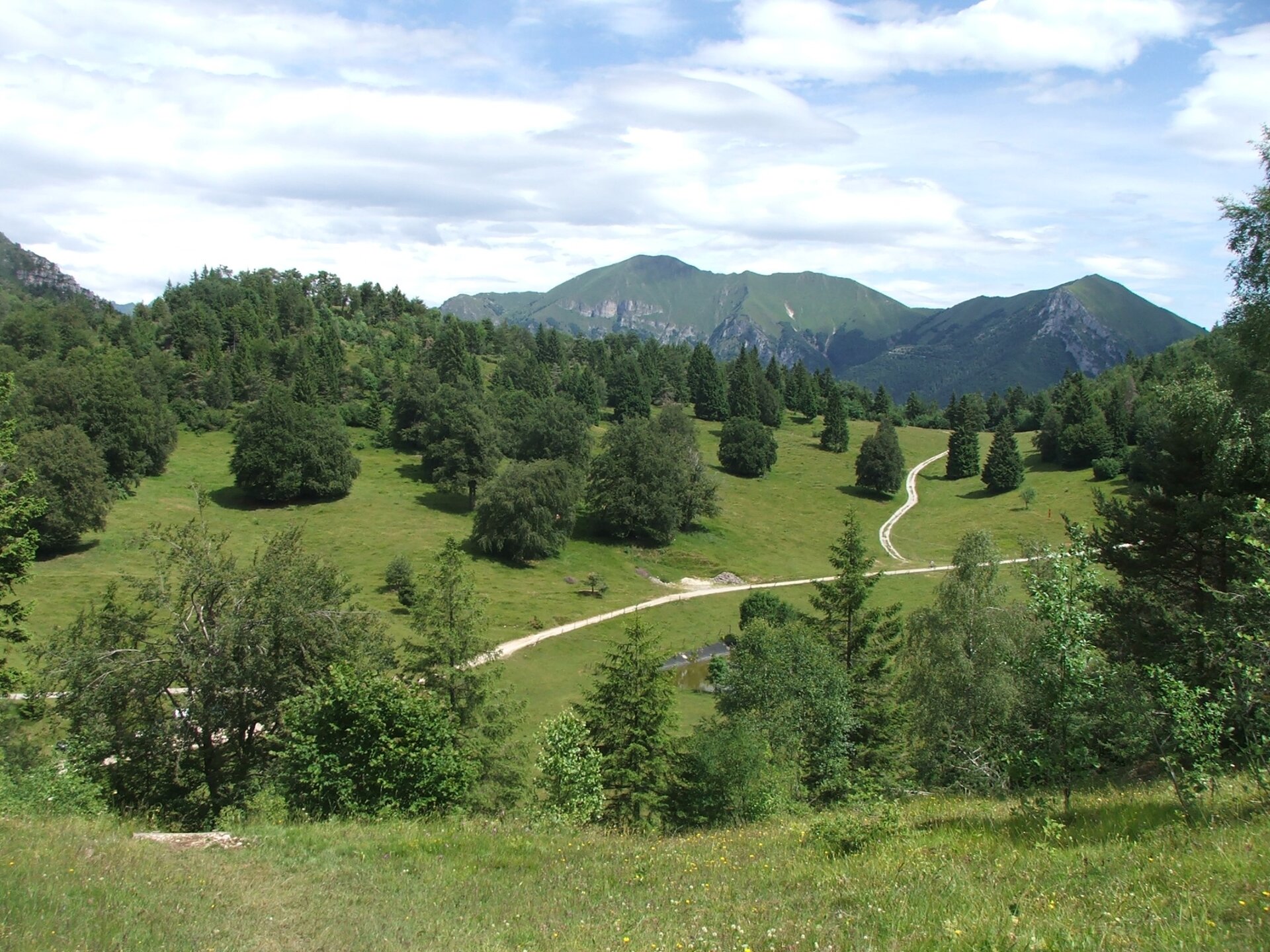
Passo Nota lies on the border between Trentino and Lombardy. It is an area rich in woods and meadows between the Alto Garda mountains and Tremalzo.

On the heights near the mountain hut, there are some trenches dating back to the Great War and a military graveyard where the war fallen lie.

Further information and useful links

For more information on routes, services (guides, mountain huts, shops etc.) and hiking friendly accommodation: Garda Trentino - +39 0464 554444

details
  • Scenic
  • Round trip
  • Refreshment stops available
  • Cultural/historical interest
Route info
Intermediate
Route number
Distance
14,9 km
Duration
5 h 00 min
Altitude difference (+)
877 m
Altitude difference (-)
876 m
Physical effort
Scenary
Highest point
1.280 m
Lowest point
675 m
Suggestions

In Autumn the woods of Casarino and Nota turn to red, orange and yellow. This route is perfect for photographers and foliage lovers!

You might be interested in
Discover related tours
View from the lookout | © Staff Outdoor Garda Trentino AC, Garda Trentino
Intermediate
Ledro
Defensionsmauer
Distance 7,8 km
Duration 3 h 00 min
Altitude difference (+) 966 m
Altitude difference (-) 966 m
Status
open
Stabio hut | © APT Terme di Comano Dolomiti di Brenta, Garda Trentino
Intermediate
Comano
Malga Stabio e Cima Sèra
Distance 12,0 km
Duration 5 h 00 min
Altitude difference (+) 920 m
Altitude difference (-) 920 m
Status
open
© Stefania Oradini, Garda Trentino
Difficult
Ledro
Monte Carone
Distance 14,7 km
Duration 7 h 00 min
Altitude difference (+) 1.170 m
Altitude difference (-) 1.150 m
Status
open
Lake Toblino | © Armin Huber, Garda Trentino
Easy
Valle dei Laghi
Nosiola Trail 1
Distance 12,1 km
Duration 3 h 00 min
Altitude difference (+) 140 m
Altitude difference (-) 146 m
Status
open
© Stefania Oradini, Garda Trentino
Difficult
Comano, Tenno, Riva del Garda, Ledro
Giro delle cime - Half tour
Distance 17,5 km
Duration 8 h 00 min
Altitude difference (+) 1.200 m
Altitude difference (-) 1.200 m
Status
open
The Sarca Valley, seen from the "Teacher's route" | © Archivio APT Garda Trentino, Garda Trentino
Intermediate
Arco, Dro & Drena
Sentiero della Maestra- "Teacher's Trail" in Val del Sarca
Distance 11,6 km
Duration 4 h 15 min
Altitude difference (+) 495 m
Altitude difference (-) 493 m
Status
open