aria.quick_link.navi aria.quick_link.skiptomaincontent aria.quick_link.footer
Garda Trentino Logo
Top

Cammino dei Sette Laghi - Stage 5: Pietramurata/Sarche

Dro & Drena, Valle dei Laghi

Category
Difficulty
Intermediate
Duration
3:25
Duration in hours
Distance
12.4
Distance in km
Status
open
Suggested period
Jan
Feb
Mar
Apr
May
Jun
Jul
Aug
Sep
Oct
Nov
Dec
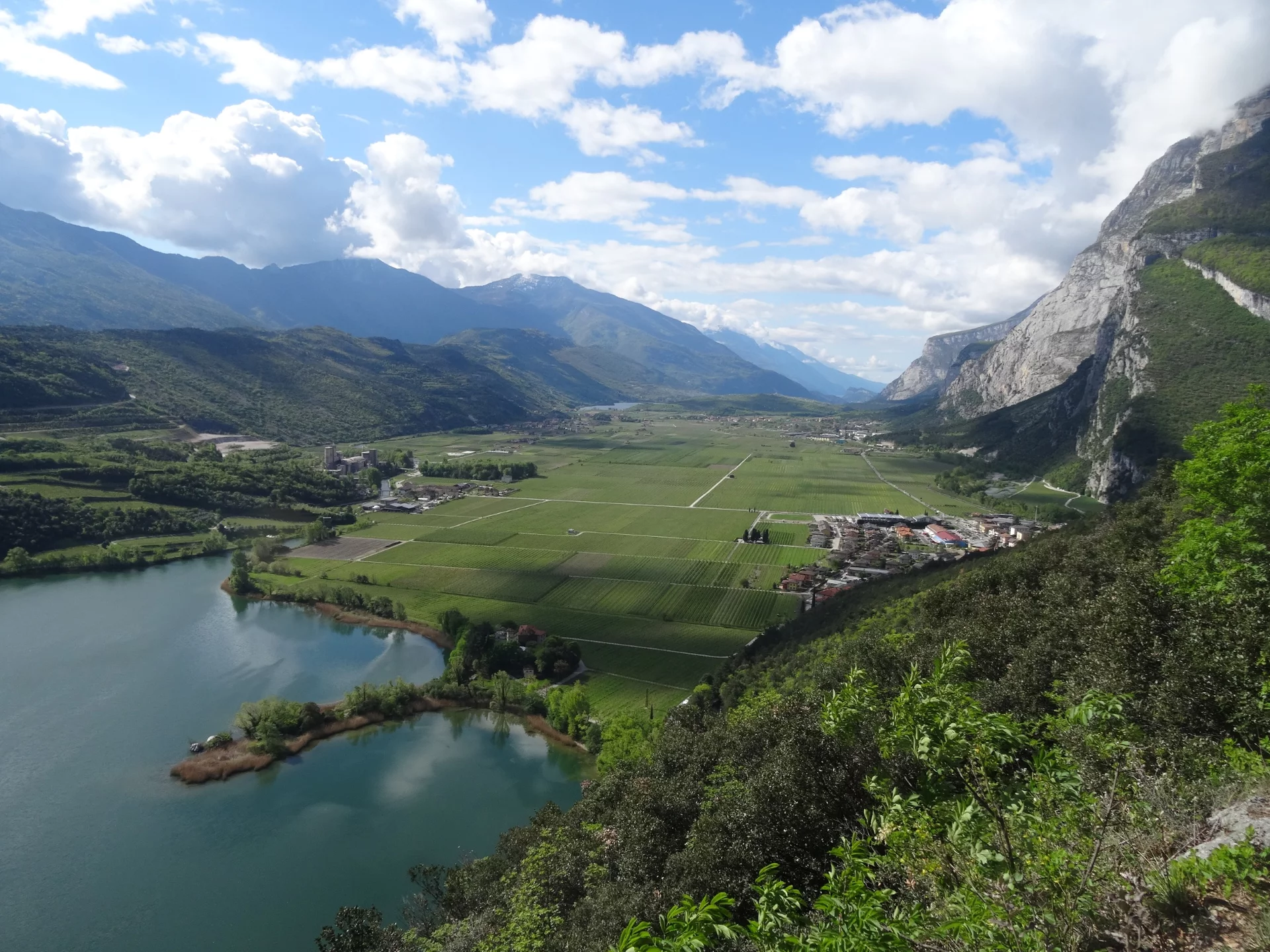
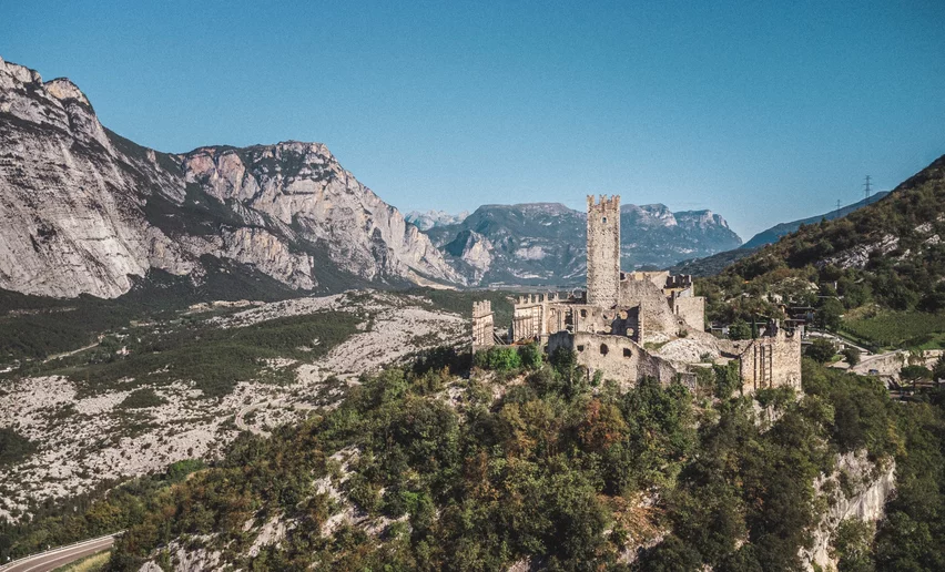
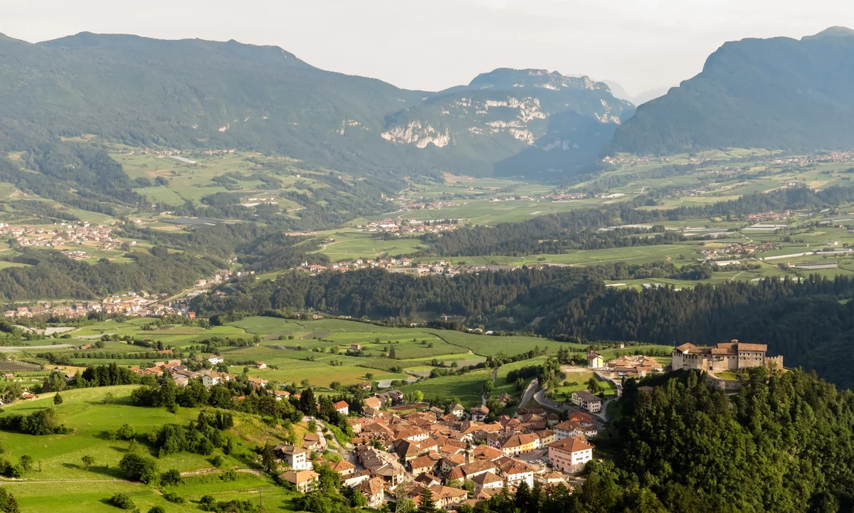
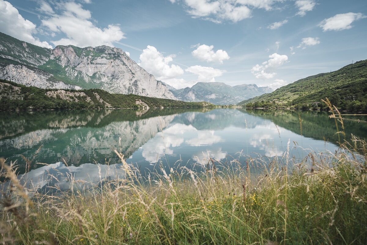
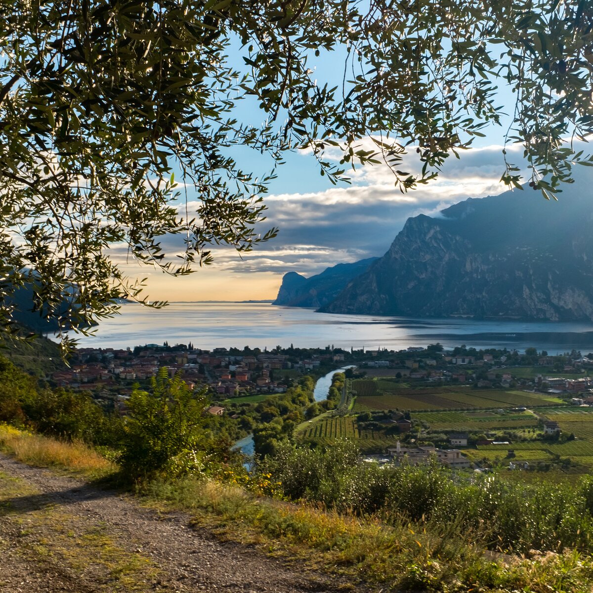
The fifth and final stage of the Cammino dei Sette Laghi leads from Pietramurata to Sarche, along the River Sarca, through vineyards, ancient waterways and the shores of Lake Toblino.
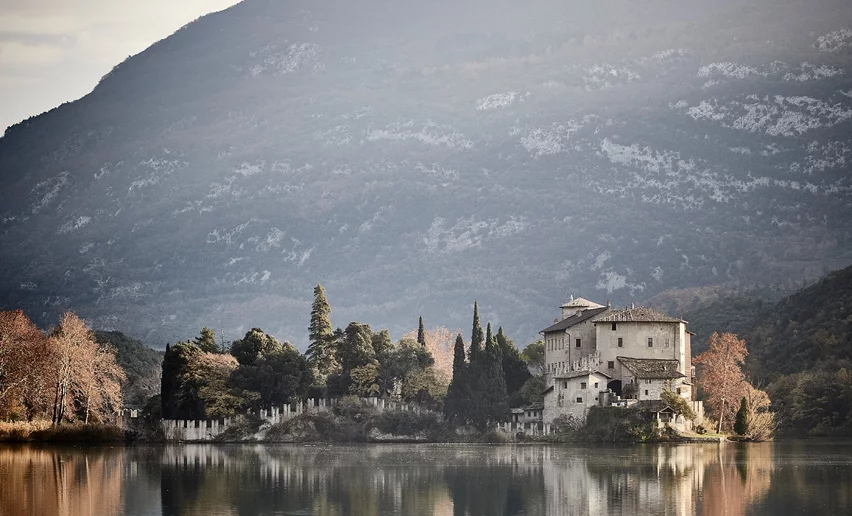
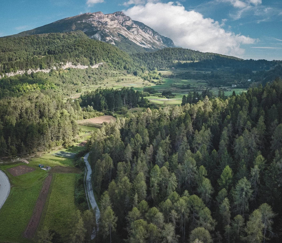
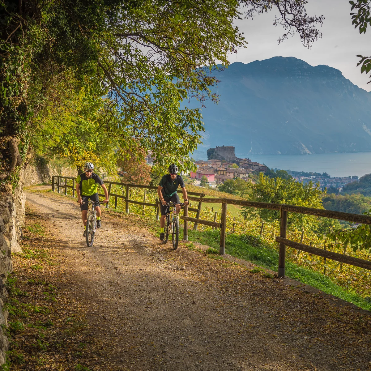
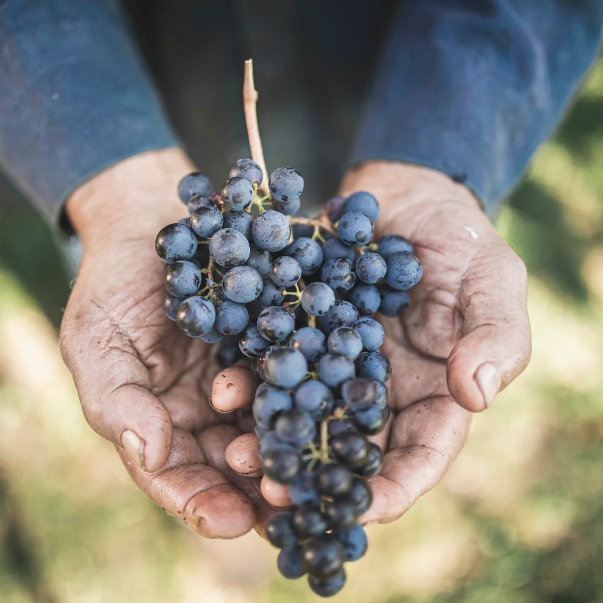
The final stage of the Cammino dei Sette Laghi is relatively short and can be enjoyed at a relaxed pace, passing through some of the most characteristic landscapes of the Valle dei Laghi. From Pietramurata, the route initially heads north along the cycle and pedestrian path beside the River Sarca. Country roads through orchards and vineyards then lead towards Pergolese and along the Canale Rimone, on the edge of the broad Piana del Sarca. The character of the route gradually changes as the trail climbs through small wooded areas and vineyards, where Nosiola, the signature grape variety of this area, is also grown. After crossing the ridge, the route reaches the Masi di Calavino and then the surroundings of Calavino. One of the most scenic sections of the stage begins here: the descent along the Roggia di Calavino. The trail winds through woodland, past waterfalls and traces of old mills that tell the story of the centuries-old relationship between water and local life. Back on the valley floor, the Cammino approaches Lake Toblino and follows its shore, passing the unmistakable castle overlooking the water. The final steps lead to Sarche, where the fifth stage ends and the Cammino dei Sette Laghi comes to a close.
details
  • Linear route
  • Multi-stage route
  • Scenic
  • Insider tip
Route info
Intermediate
Route number
Distance
12,4 km
Duration
3 h 25 min
Altitude difference (+)
171 m
Altitude difference (-)
168 m
Physical effort
Scenary
Highest point
408 m
Lowest point
244 m
Suggestions
Before completing the Cammino, visit Toblino Castle, spectacularly set on the shores of the lake of the same name.
You might be interested in
Discover related tours
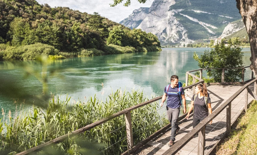
Lake Toblino | © Armin Huber, Garda Trentino
Difficult
Valle dei Laghi, Comano
Cammino San Vili - low itinerary
Distance 107,6 km
Duration 35 h 00 min
Altitude difference (+) 3.228 m
Altitude difference (-) 4.553 m
Status
closed
part of the San Rocco route | © camminosanrocco.it, APT Rovereto Vallagarina Monte Baldo
Difficult
Val di Gresta & Mori, Surroundings, Arco
The San Rocco Path
Distance 67,4 km
Duration 23 h 25 min
Altitude difference (+) 3.157 m
Altitude difference (-) 3.156 m
Status
open
Panorama from Monte Corno | © Archivio Garda Trentino (ph. Tommaso Prugnola), Garda Trentino
Difficult
Val di Gresta & Mori, Torbole sul Garda - Nago, Arco
GardaTrek - Top Loop 5: Across the former Austrian Front
Distance 12,3 km
Duration 4 h 00 min
Altitude difference (+) 0 m
Altitude difference (-) 1.797 m
Status
open
Church of San Lorenzo - Tenno | © Archivio Garda Trentino (ph. Watchsome), Garda Trentino
Intermediate
Tenno, Arco, Riva del Garda
Sentiero Frassati - Leg 1
Distance 6,5 km
Duration 3 h 20 min
Altitude difference (+) 886 m
Altitude difference (-) 0 m
Status
open
On the route around Cima Giochello | © G.P. Calzà ©APT Garda Trentino , Garda Trentino
Difficult
Riva del Garda, Ledro
Garda Trek - Top Loop 1: from Riva del Garda to Rifugio Pernici
Distance 13,7 km
Duration 7 h 00 min
Altitude difference (+) 1.822 m
Altitude difference (-) 317 m
Status
open
© VisitTrentino TGP
Intermediate
Valle dei Laghi
Cammino dei Sette Laghi - Stage 2: Monte Terlago/Vezzano
Distance 18,1 km
Duration 5 h 00 min
Altitude difference (+) 284 m
Altitude difference (-) 581 m
Status
open