Directions
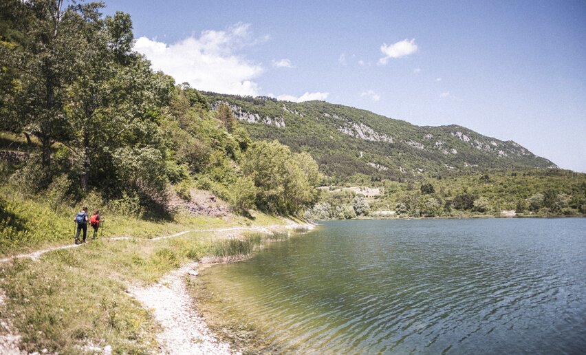
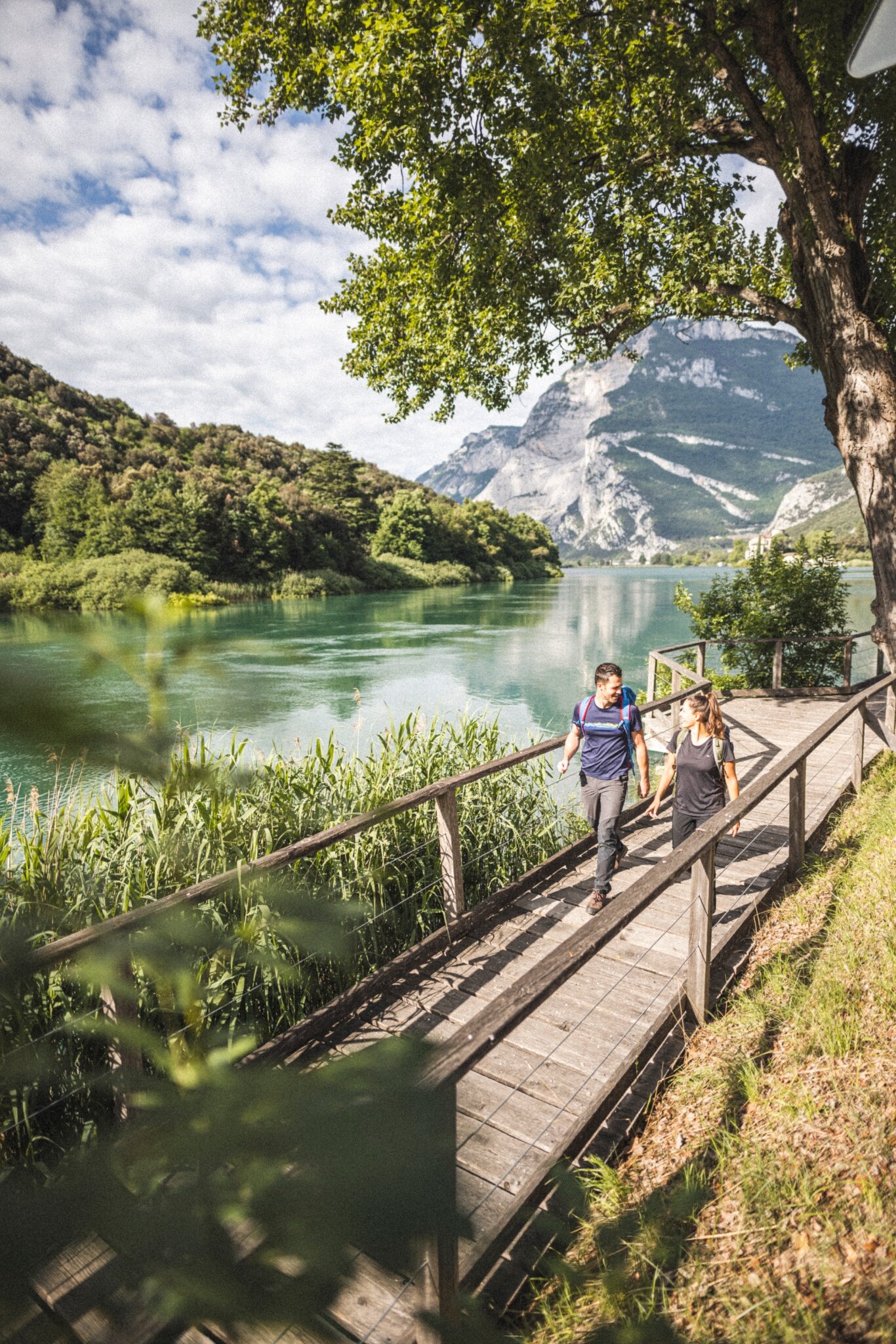
From Sarche, take the pedestrian path along the shore of Lake Toblino and follow it north. At the end of the lake, cross the road at the pedestrian traffic lights and enter Parco Due Laghi.
Continue along the country road towards Padergnone, pass through the village and descend towards Santa Massenza, walking alongside the hydroelectric power station.
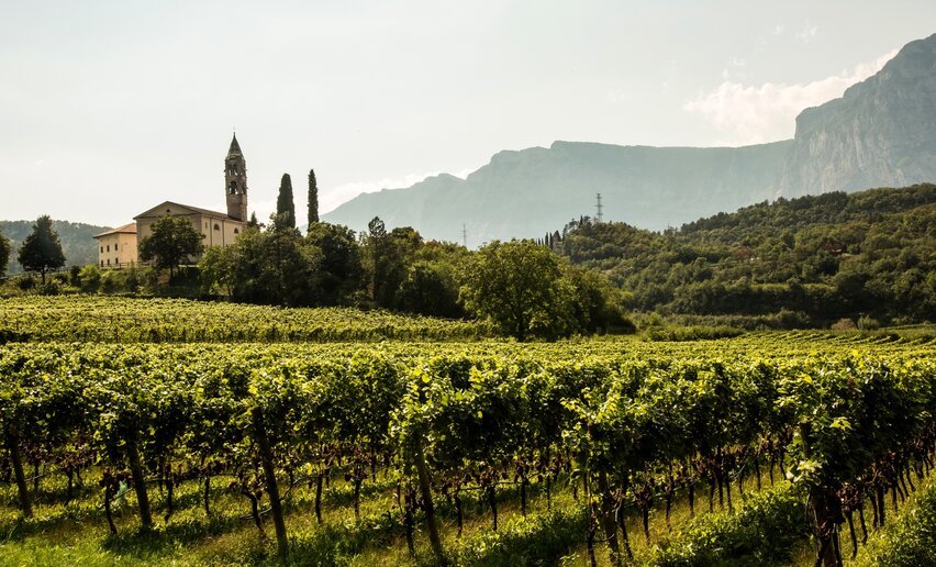
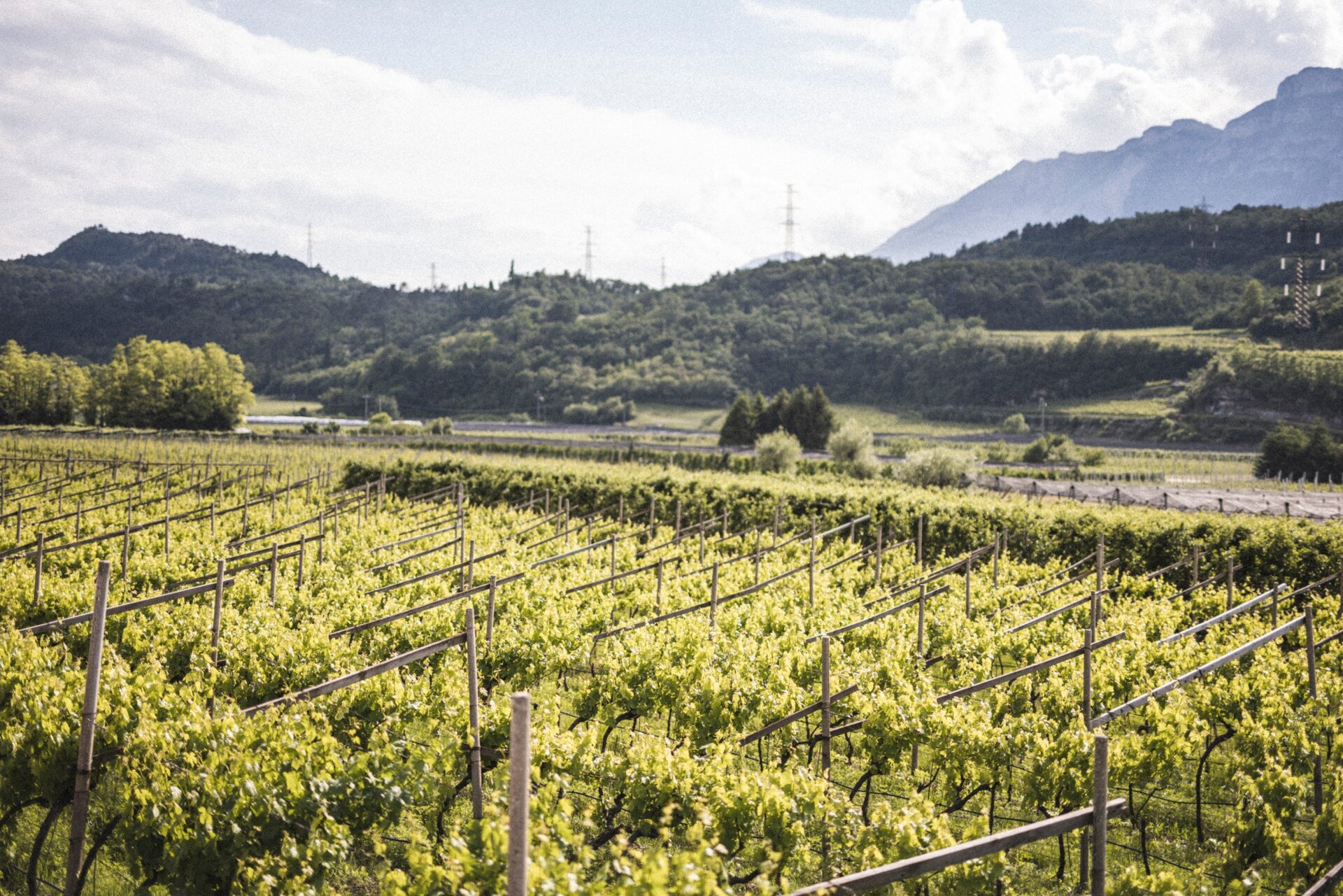
On reaching the main square in Santa Massenza, turn right and then shortly afterwards left, following the road into the countryside. Continue through the vineyards until you reach the road to Fraveggio. Turn right and follow it uphill to the village, then continue towards Lon.
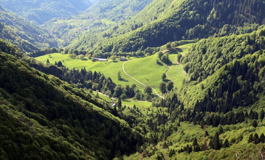
After passing the square in Lon, continue straight through the village. At the end of the settlement, enter the woods and follow the forest road to Ciago.
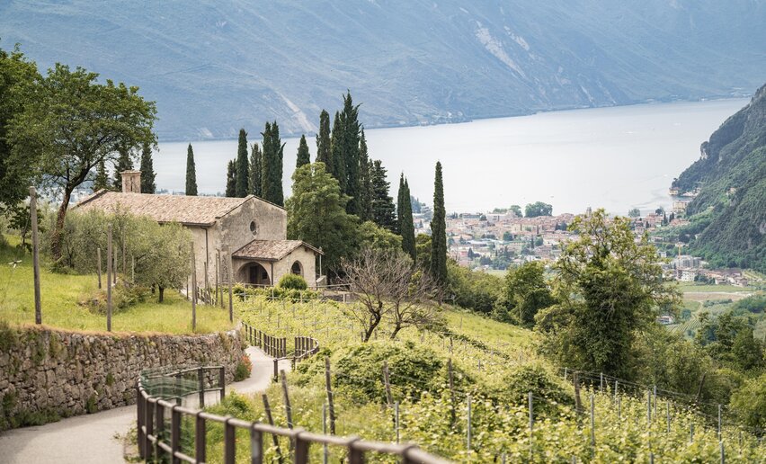
In Ciago, head towards the Church of San Lorenzo. Pass to the right of the church and follow the path across a meadow and past a small waterfall. Continue until you join SAT trail 627 and follow it towards Covelo.
On reaching Covelo, join Via Nino Poòli. After about 50 metres, turn right towards the village centre. At the main square, turn left uphill and after around 100 metres turn right onto the forest road.
Continue until you rejoin SAT trail 627, which runs above Maso Ariol. After this section, turn left onto the descending forest road and follow it to Monte Terlago, in the Casale area, where the first stage ends.



 Offers