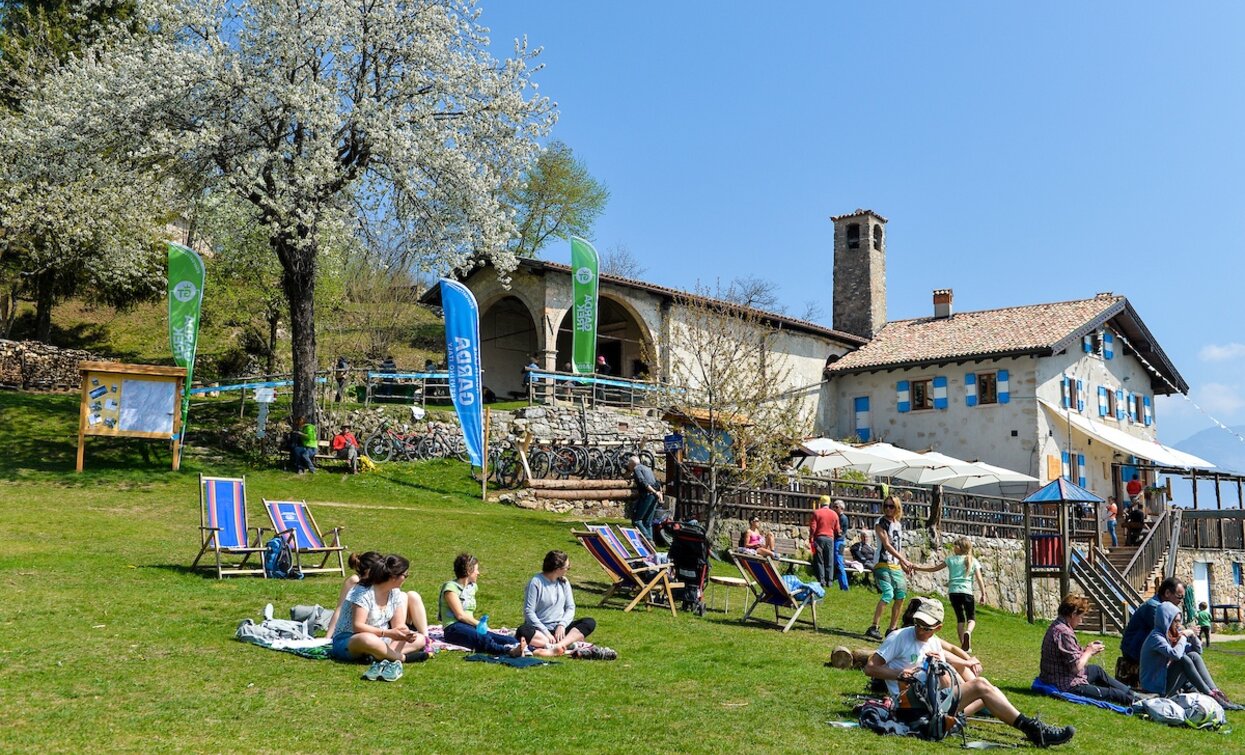
The Sentiero Frassati in Trentino unfolds over seven legs, from the church of the Madonna delle Grazie to the Sanctuary of San Romedio, along dirts roads, paths and mule tracks suitable to all hikers.
The second leg of the route links Rifugio San Pietro to Villa Banale, in the first part through the meadows and woods between Monte Biaina and Monte Misone, then across the gentle landscapes of Lomaso and Bleggio, dotted with picturesque villages, historical churches, castles and cultivated fields.
The Sentiero Frassati is dedicated to the mountain loving Blessed Piergiorgio Frassati. A little curiosity: each Italian region has its own Frassati Path.


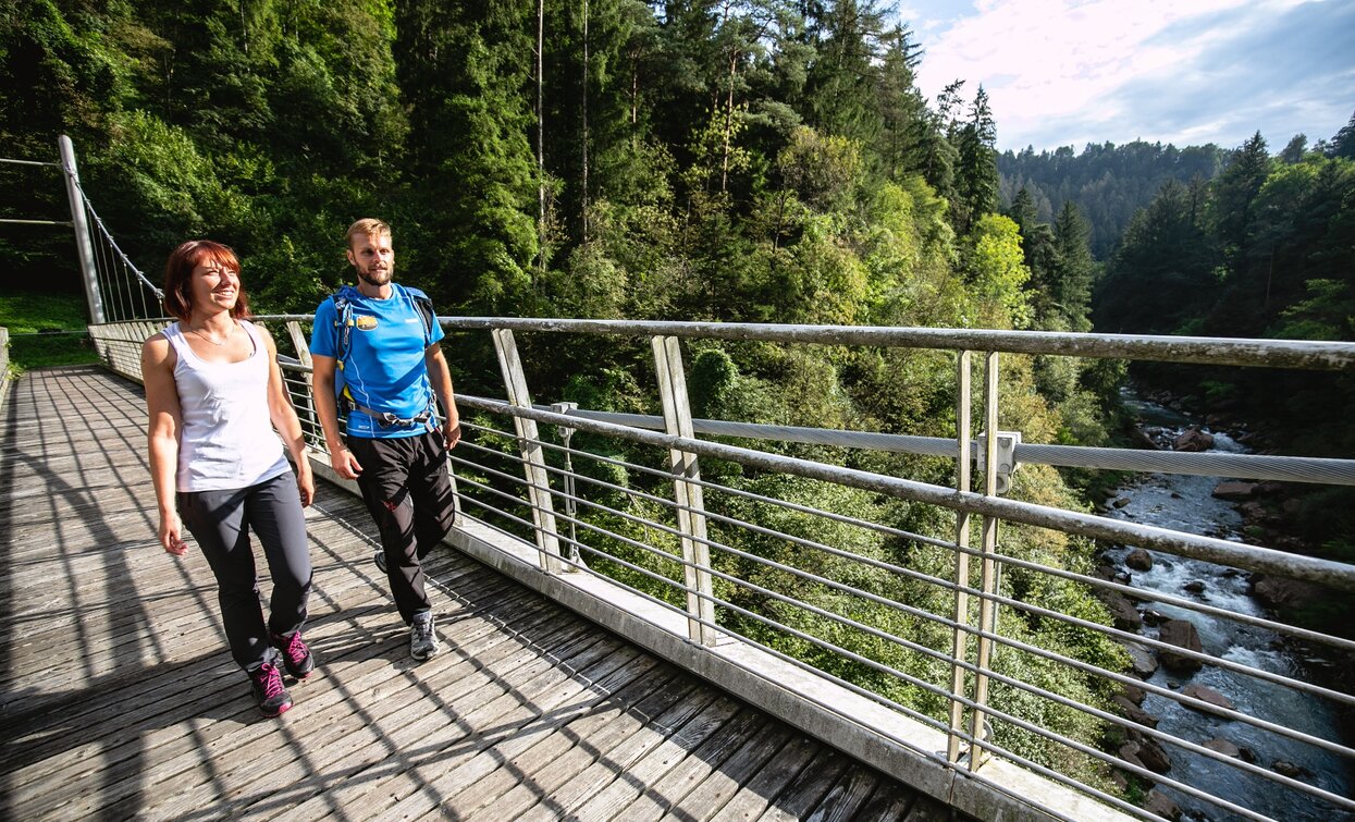
The Limarò Canyon, located almost at the end of this leg of the route, is a wonder of nature! Here, the river Sarca has carved the rock over the centuries, forming narrow gorges. Bridges and panoramic terraces offer a vantage point to observe the marvels of the rushing water.
Safety Tips
This information is subject to inevitable variations, so none of these indications are absolute. It is not entirely possible to avoid giving inexact or imprecise information, given how quickly environmental and weather conditions can change. For this reason, we decline any responsibility for changes which the user may encounter. In any case, it is advisable to check environment and weather conditions before setting out.
The Sentiero Frassati is marked in its entirety with SAT 401 signposts. From Rifugio San Pietro take the SAT 401 path and hike up to Monte San Pietro. Continue downhill until you meet the dirt road (SAT 401) leading to Bondiga and San Giovanni. Here begins the descent towards the valley, passing by Malga Vigo and the archaeological area of San Martino di Lundo, a fortified settlement built in the Early Middle Ages to control the whole valley and the ancient road connecting the Po Valley to Mitteleuropa. Just before reaching the little church of San Lorenzo, the path joins a narrow asphalt road. The first village encountered this way is Lomaso, above which are visible the ruins of Castel Spine, built in the 13th century. Between Lomaso and Poia the path coincides with the Sentiero della Patata (Potato Trail), which unfolds through the cultivation area of the Lomaso potato, also known as Montagnina. From Poia walk uphill on country lanes towards the village of Comano, from where a small path descends towards the valley. Cross the main road and continue towards the Limarò Canyon. Cross the Balandin bridge over the river Sarca and take the asphalt road, which then rejoins the main road. Cross this once again and reach the village of Villa Banale, at the food of the Brenta Dolomites.
To reach Rifugio San Pietro is the intercity bus line 211 (Riva del Garda - Tenno - Fiavè - Ponte Arche) available. Bus stop: Ville del Monte (Tenno) and then continue on foot.
Attention! Buses are not very frequent!
From the lower Sarca Valley follow directions for Tenno (strada statale 421). When you come out on the other side of the town you come to the hamlet Ville del Monte and turn right at the junction after the church. Go straight on past Canale and Calvola, head up the mountainside and follow directions for the mountain hut Rifugio San Pietro and the car park.
Free parking close to Rifugio San Pietro in Loc. Calino.
You need to wear the right clothing and take the proper gear when you go hiking in the mountains. Even on relatively short easy outings make sure to take all you need so you don't run into trouble if things take an unexpected turn, for example a storm blows up or you have a sudden drop in energy levels.
What should you take when you go on a hike?
Your rucksack (for a day trip a 25/30L capacity should do) should contain:
Make sure you're wearing the right footwear for the trail and season. The going can get rough and rocky underfoot and a pair of hiking boots will protect you from sprains. When wet, a grassy slope, rocky slab or steep trail can be dangerous unless you are wearing the proper footwear.
And finally... don't forget to bring your camera! You'll need it to capture the stunning views you come across all over Garda Trentino. And if you like, you can share your memories with us at #GardaTrentino.
Emergency telephone number 112.

