Directions
From Monte Terlago, walk uphill towards the car park in Località Casale and continue straight across the Prati di Prada. At a junction, turn right and follow the Cammino marker.
Enter the woods and continue to a crossroads. Turn right onto a somewhat steep but safe downhill path. This leads to Malga Bassa di Terlago, currently closed, and then to the car park between Lake Lamar and Lake Santo.
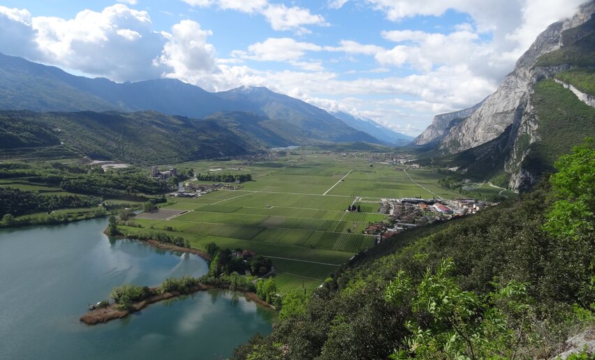
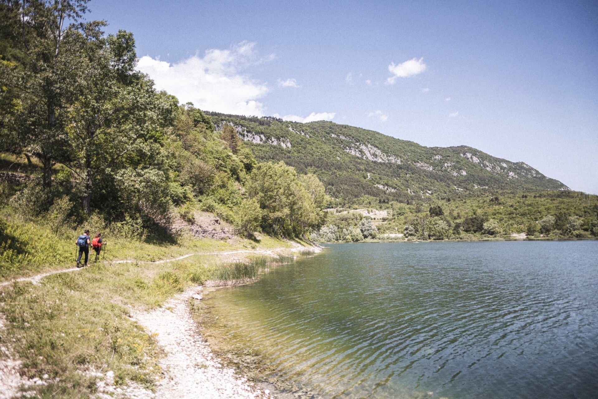
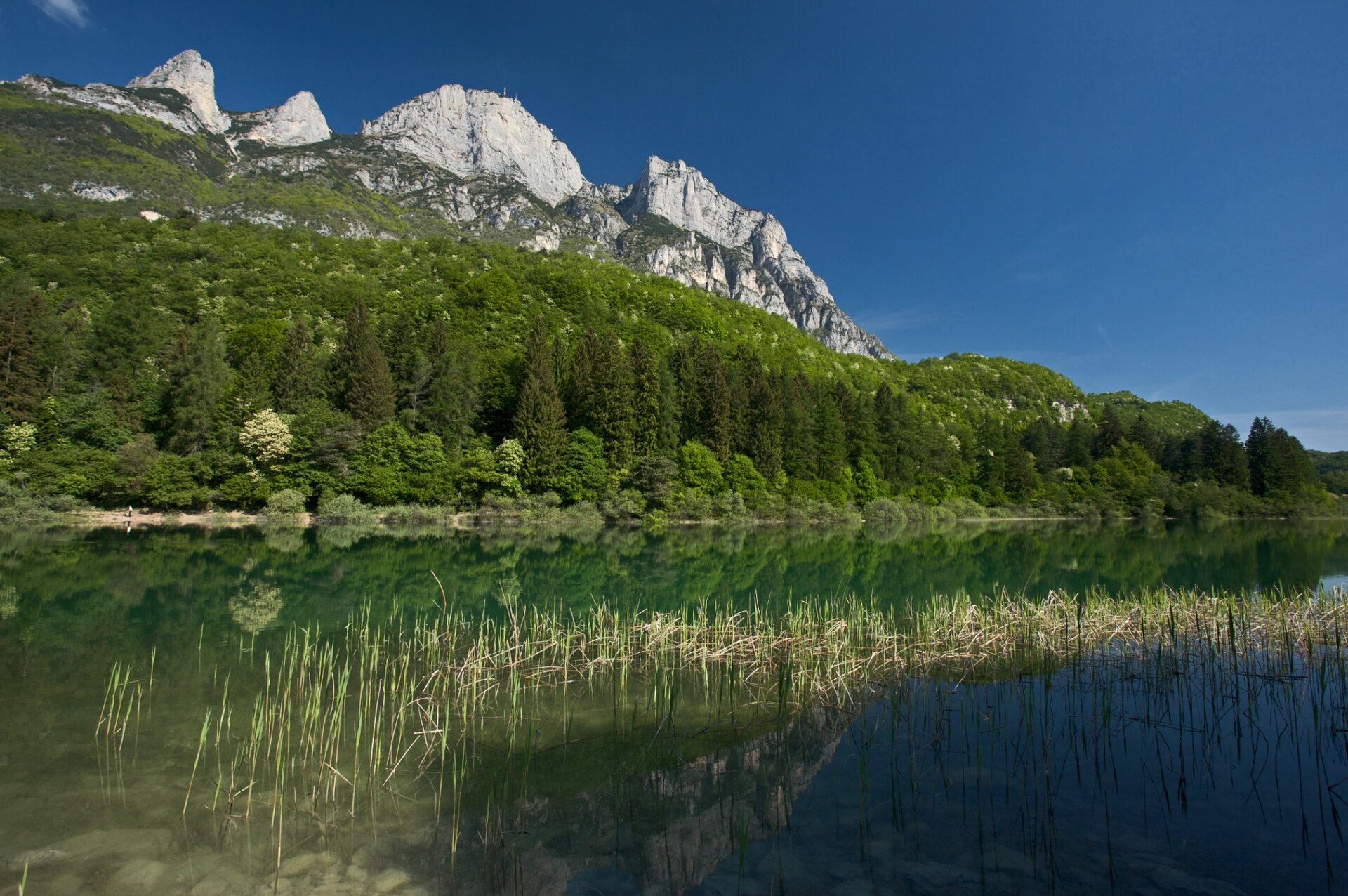
Turn right here, following the Cammino marker, and continue along the pedestrian path beside the lake. At the end of the lake, cross the provincial road and enter the meadow opposite, walking uphill for about 100 metres.
At the top of the meadow, turn right and follow a comfortable forest road. At a large beech tree, turn left uphill until you reach another forest road, then turn right towards Le Vallene.
Shortly before the campsites, a marker indicates a left turn into the woods. Follow this trail towards Terlago. In this section, pay close attention to the route markers: stickers and the symbol of a flower with seven blue petals painted on some stones.
About halfway along the trail, you reach a junction. Continue straight ahead, leaving the main path that descends to the right. Reach the Portatori Bassi forest road, turn right and continue to the next junction.
Here, turn left onto a narrow but safe downhill path until you reach the Monte Piana forest road. Turn right and continue towards Lake Terlago.
Just above the lake, you reach a large open area. Keep right until the first junction, then turn left onto a fairly steep downhill path, following the Cammino marker. Once you reach the lakeshore, turn right and head towards the bar at the Lido.
From the Lido, keep right and enter the village of Terlago, continuing to the main church. After the church, turn left, pass under the archway, then turn right and right again to reach the cycle path towards Vezzano.
After leaving the village, follow the Ciclovia dei Laghi to a junction. Turn right onto a country lane running alongside a dry-stone wall and a berry field. At the end of the straight section, turn left and immediately right, continuing through the apple orchards. At the end of the road, turn left to rejoin the cycle path.
Those who prefer to avoid the country lane through the orchards can simply remain on the cycle path and continue directly towards Vezzano.
The second stage ends in the main square of Vezzano, by the Church of Santi Vigilio e Valentino.


 Offers