aria.quick_link.navi aria.quick_link.skiptomaincontent aria.quick_link.footer
Garda Trentino Logo
Top

Cammino dei sette Laghi - Valle dei Laghi

Dro & Drena, Valle dei Laghi

Category
Difficulty
Difficult
Duration
25:05
Duration in hours
Distance
84.4
Distance in km
Status
open
Suggested period
Jan
Feb
Mar
Apr
May
Jun
Jul
Aug
Sep
Oct
Nov
Dec

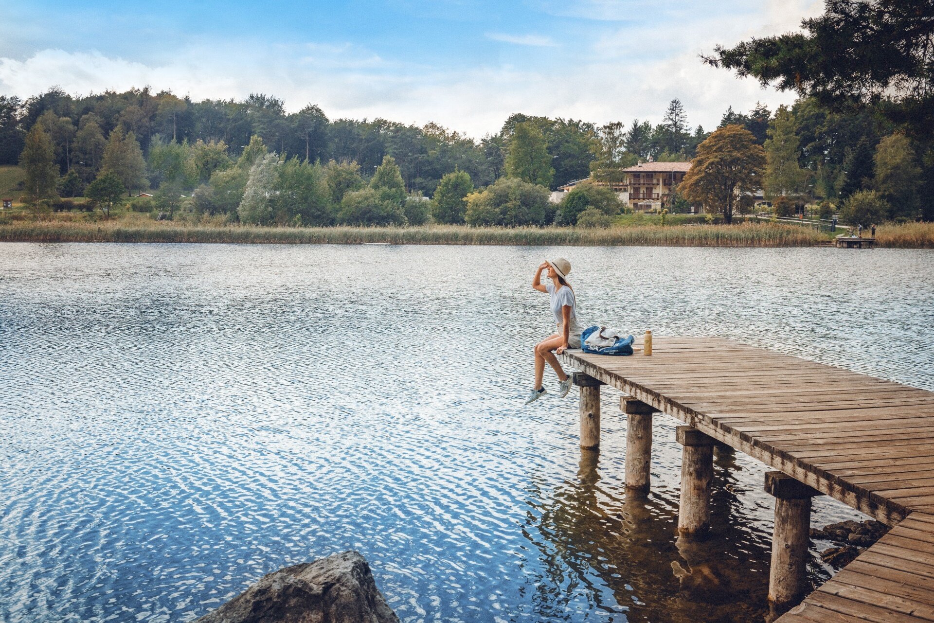
A five-stage loop through the Valle dei Laghi, among lakes, vineyards, woods, villages and landscapes shaped by both nature and history.

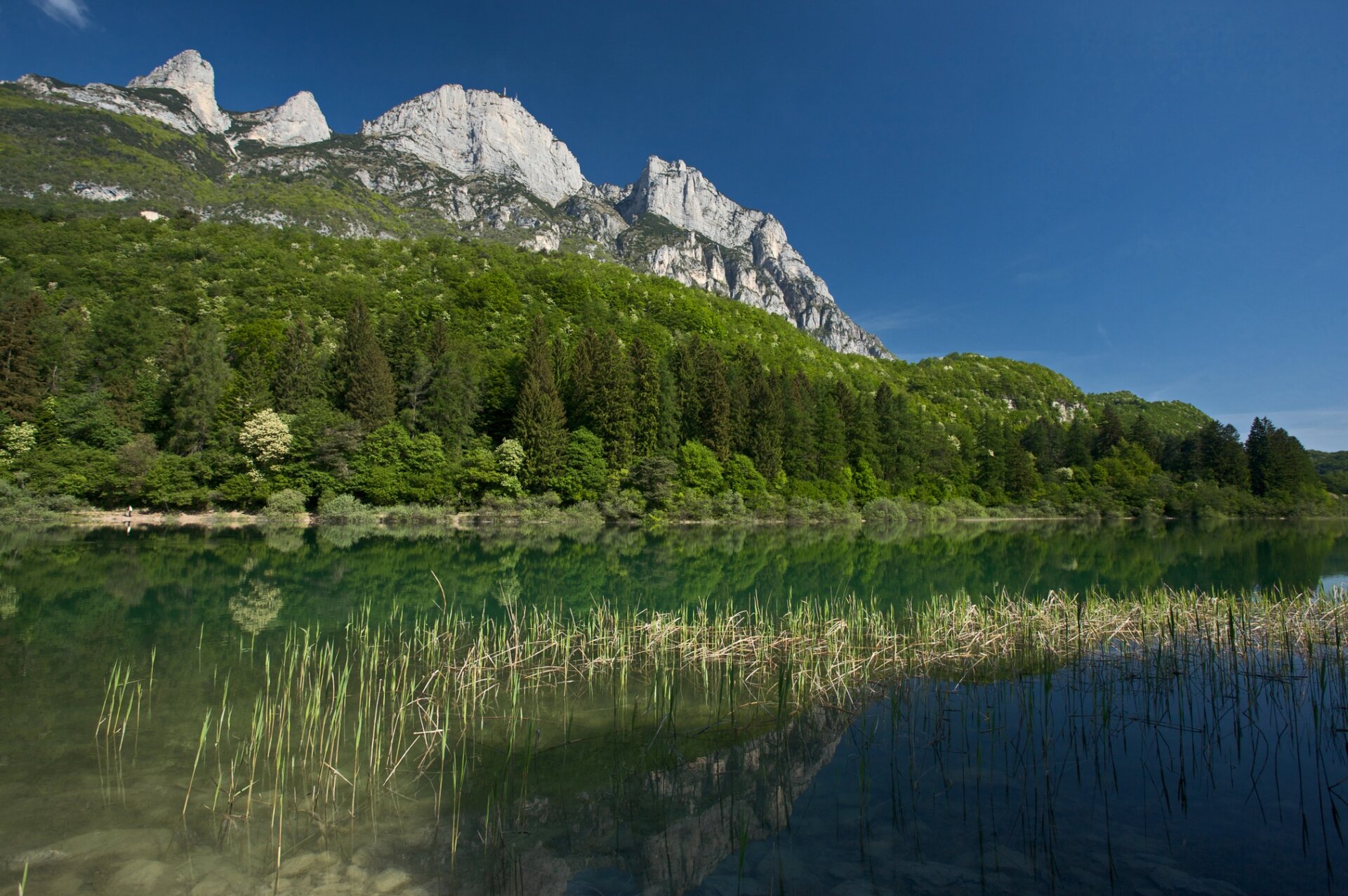
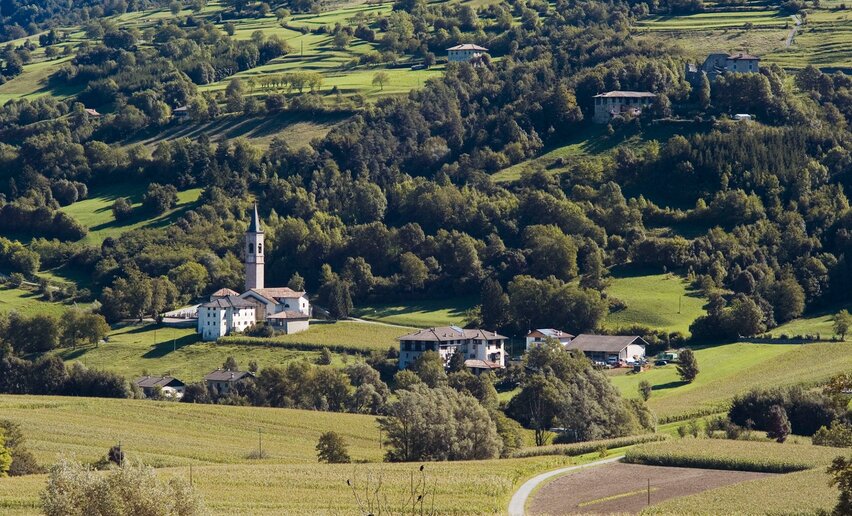
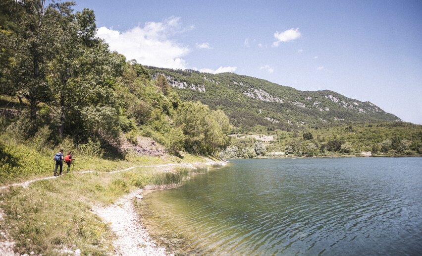
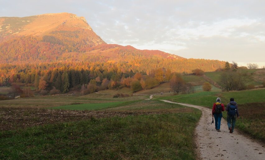
The Cammino dei Sette Laghi is a five-stage circular route through some of the most characteristic landscapes of the Valle dei Laghi, alternating lakes, cultivated countryside, woodland, small villages and sections with a more mountainous feel.

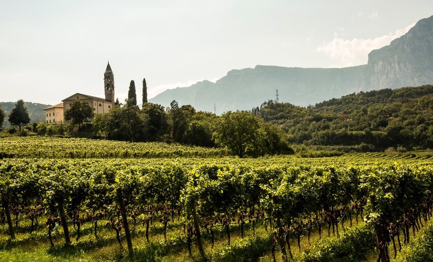
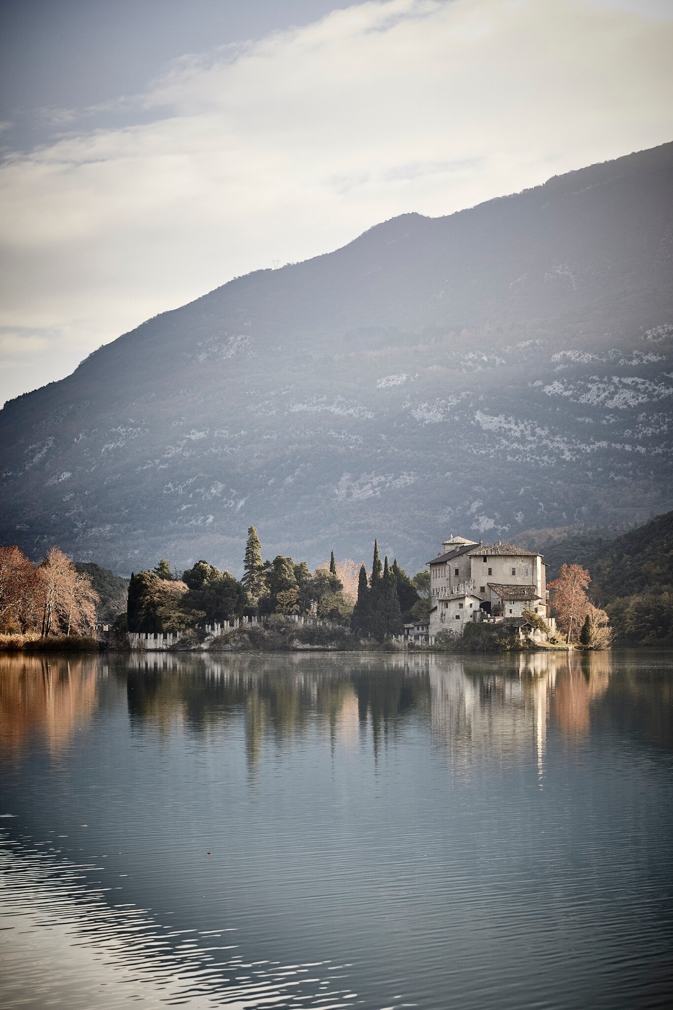
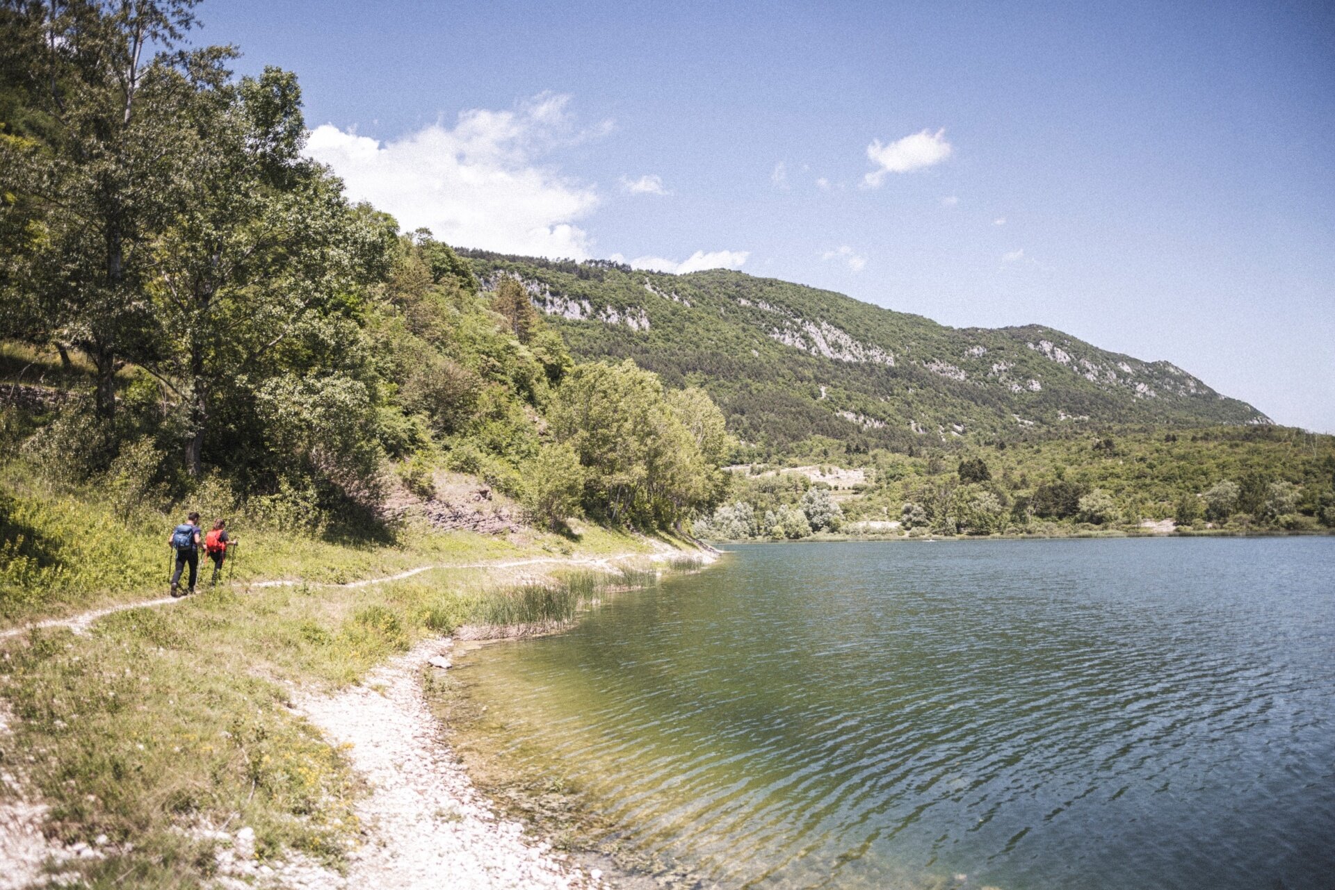
From Sarche, the route initially heads north along the shores of Lake Toblino and Lake Santa Massenza, then continues through vineyards, woods and historic villages to Monte Terlago. The second stage leads to the Laghi di Lamar and Lake Terlago, crossing the Prada plateau before descending towards Vezzano.

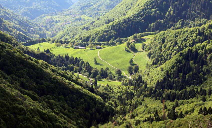
From Vezzano, the Cammino reaches its most mountainous section. The trail climbs through the woods on the western slopes of Monte Bondone to Lake Lagolo, then descends towards Castel Madruzzo and continues through the Cavedine Valley, among fields, villages and traces of the ancient Roman road, to Vigo Cavedine.

The fourth stage, the longest of the route, passes through Drena and Dro before reaching one of the most striking landscapes of the entire journey: the Marocche di Dro, a vast rocky area created by ancient landslides. The trail then reaches Lake Cavedine and continues across Monte Gaggio to Pietramurata.

The final stage initially follows the River Sarca and crosses vineyards and farmland before climbing again towards Calavino. The descent along the Roggia di Calavino, through woodland, waterfalls and old mills, leads back towards Lake Toblino. Passing beside its unmistakable castle, the route finally returns to Sarche, completing the loop.

Over the five days, the landscape changes constantly: alpine lakes and valley-floor lakes, rocky cliffs, broadleaf and conifer woods, Nosiola vineyards, orchards and small villages rich in historical heritage. This variety is what makes the Cammino dei Sette Laghi a journey that reveals, step by step, the many different sides of the same territory.
details
  • Multi-stage route
  • Scenic
  • Geological highlights
  • Insider tip
  • Round trip
  • Refreshment stops available
  • Flora
Route info
Difficult
Route number
Distance
84,4 km
Duration
25 h 05 min
Altitude difference (+)
2.338 m
Altitude difference (-)
2.341 m
Physical effort
Scenary
Highest point
996 m
Lowest point
116 m
Suggestions

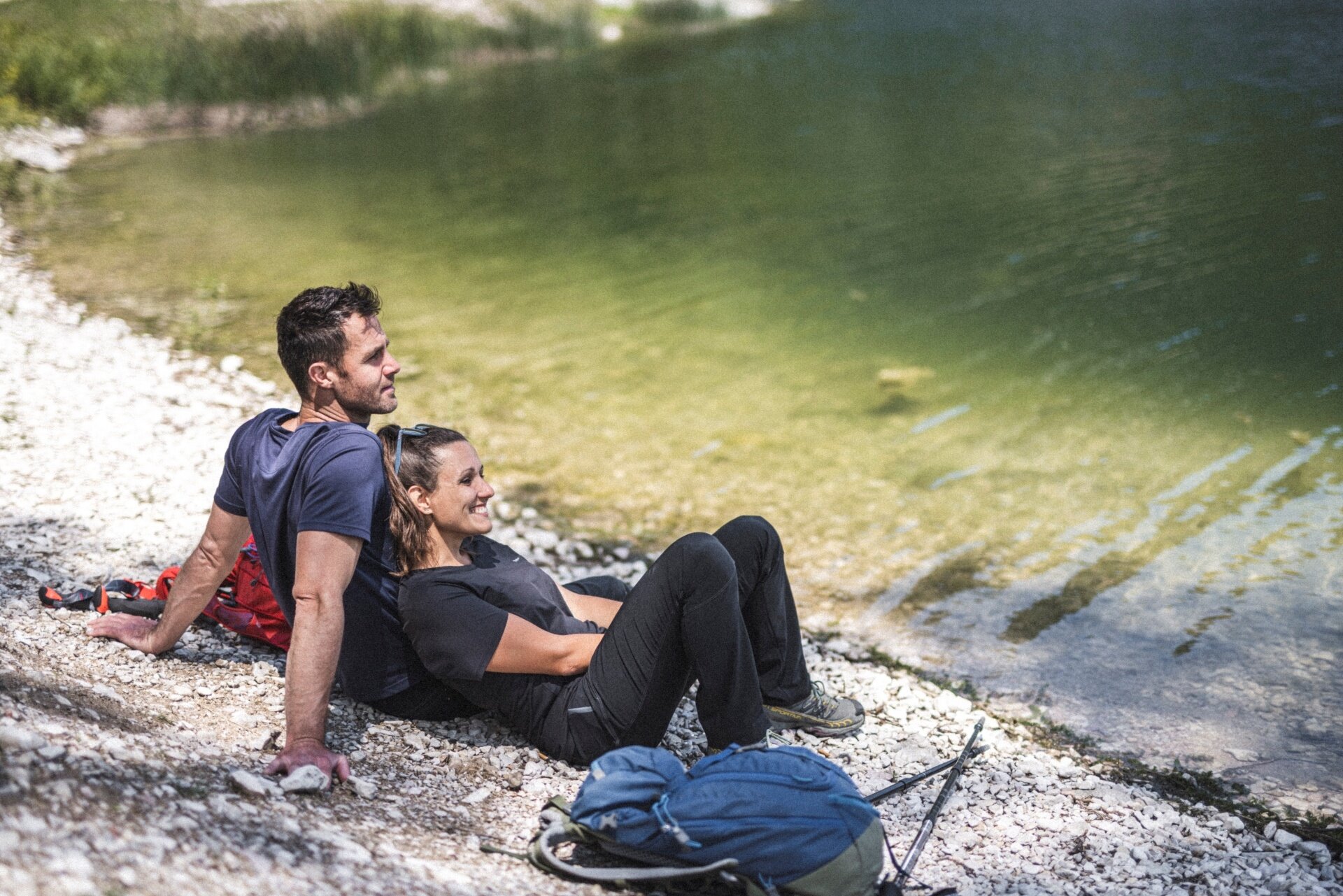
Take time to stop along the way: lakes, villages, castles, distilleries and vineyards are all an essential part of the Cammino experience.

You might be interested in
Discover related tours

View of Lake Garda from the route | © Archivio APT Garda Trentino (ph. Calzà) , Garda Trentino
Difficult
Dro & Drena, Torbole sul Garda - Nago, Surroundings, Arco, Ledro, Riva del Garda, Tenno, Val di Gresta & Mori
Garda Trek - Top Loop: The crown of Garda Trentino
Distance 93,3 km
Duration 47 h 00 min
Altitude difference (+) 7.266 m
Altitude difference (-) 5.601 m
Status

open
Panorama from Monte Corno | © Archivio Garda Trentino (ph. Tommaso Prugnola), Garda Trentino
Difficult
Val di Gresta & Mori, Torbole sul Garda - Nago, Arco
GardaTrek - Top Loop 5: Across the former Austrian Front
Distance 12,3 km
Duration 4 h 00 min
Altitude difference (+) 0 m
Altitude difference (-) 1.797 m
Status
open
© VisitTrentino TGP
Difficult
Valle dei Laghi
Cammino dei Sette Laghi - Stage 3: Vezzano/Vigo Cavedine
Distance 18,4 km
Duration 6 h 15 min
Altitude difference (+) 942 m
Altitude difference (-) 718 m
Status
open
On Mount Baldo | © Archivio Garda Trentino - Ph. G. P. Calzà, North Lake Garda Trentino
Intermediate
Surroundings, Torbole sul Garda - Nago
GardaTrek - Top Loop 7: Back to the water
Distance 7,6 km
Duration 2 h 50 min
Altitude difference (+) 345 m
Altitude difference (-) 655 m
Status
open
© VisitTrentino TGP
Intermediate
Valle dei Laghi
Cammino dei Sette Laghi - Stage 2: Monte Terlago/Vezzano
Distance 18,1 km
Duration 5 h 00 min
Altitude difference (+) 284 m
Altitude difference (-) 581 m
Status
open
part of the San Rocco route | © camminosanrocco.it, APT Rovereto Vallagarina Monte Baldo
Difficult
Val di Gresta & Mori, Surroundings, Arco
The San Rocco Path
Distance 67,4 km
Duration 23 h 25 min
Altitude difference (+) 3.157 m
Altitude difference (-) 3.156 m
Status
open