Punto di partenza
Vezzano
Directions
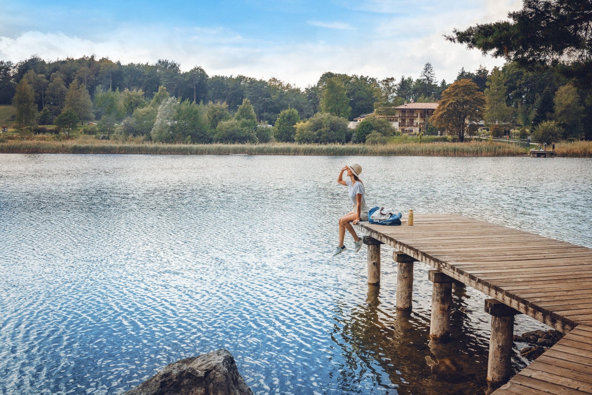
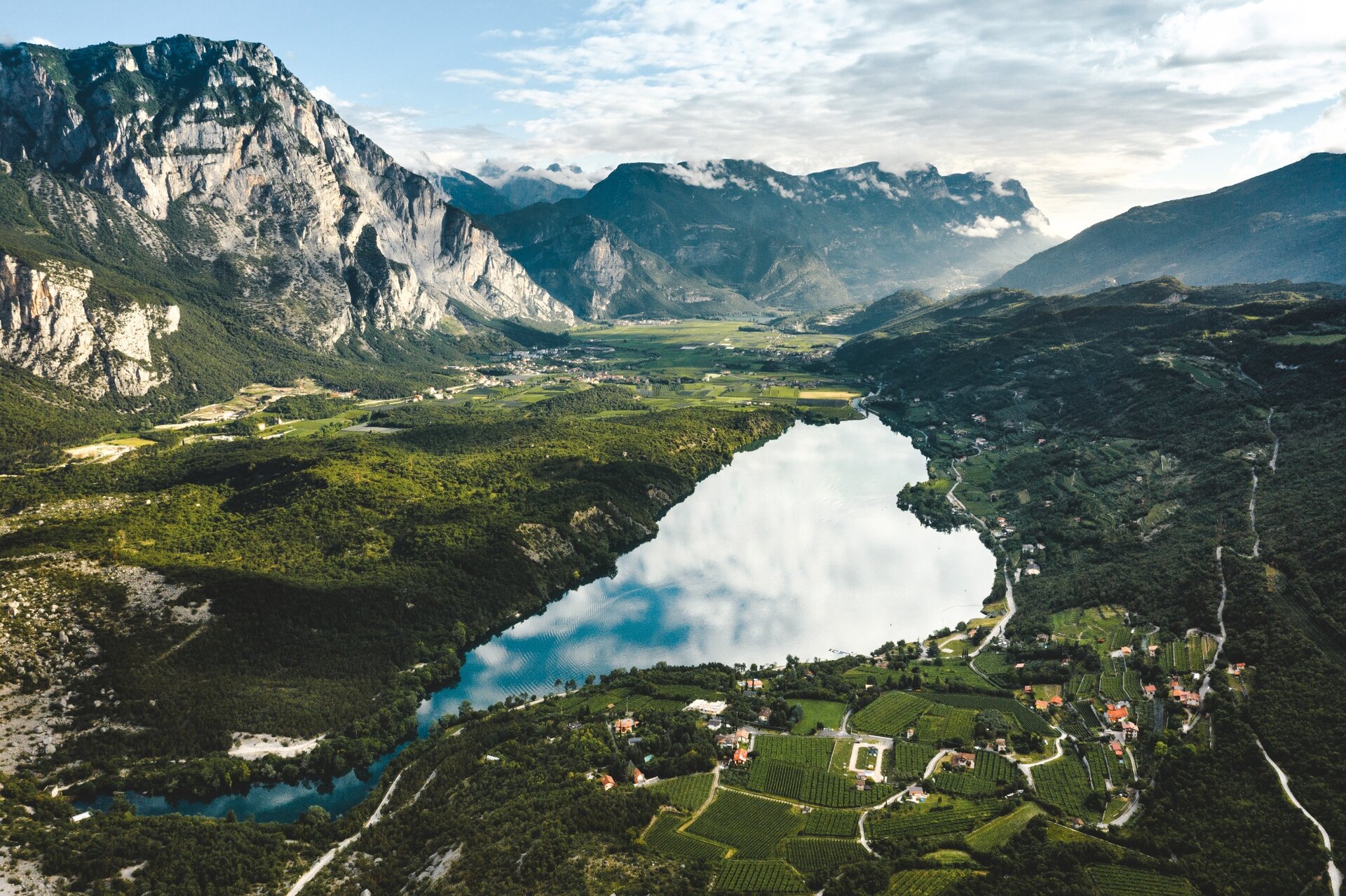
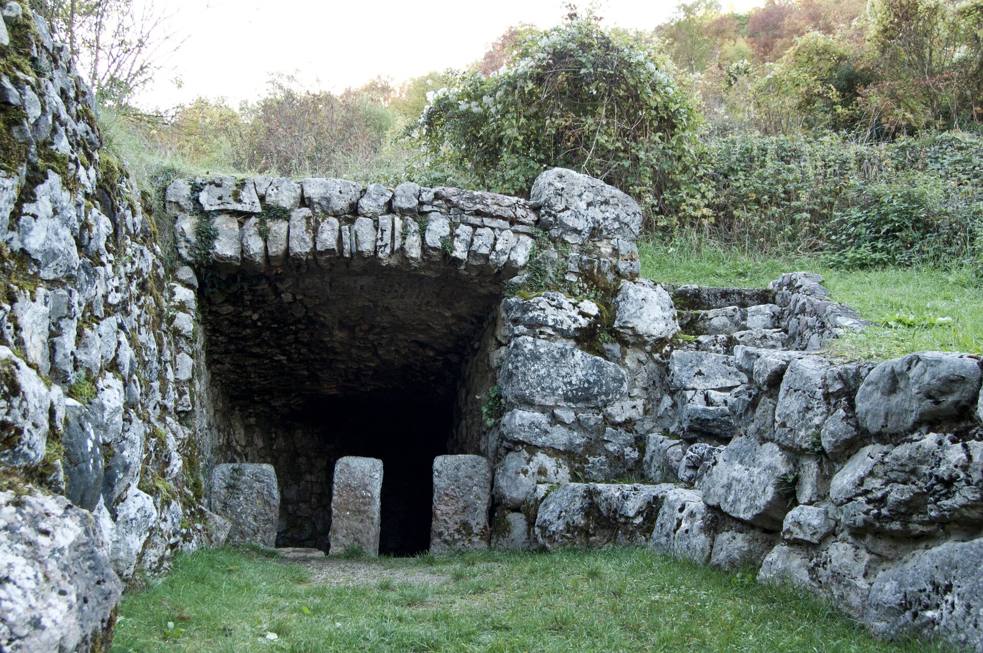
The stage starts in Piazza San Valentino in Vezzano. Keeping Caffè alla Posta on your left, follow Via Borgo for a short distance to the junction with Via Ronch. On the right, you will find the signs for the Cammino dei Sette Laghi and SAT trail 618 towards Lagolo. Follow the trail uphill through the woods, keeping an eye on both the Cammino markers and the SAT 618 signs. The trail ends on the Monte Piana forest road, which leads to the SP85 Monte Bondone road. Cross the provincial road, turn left following the Cammino marker and, after a few metres, turn right into the village of Lagolo. Reach Lake Lagolo and walk around the lake. Then return to the Monte Piana forest road and continue to the junction with SAT trail 619, which descends towards Castel Madruzzo and Calavino. Follow the trail to Castel Madruzzo and, once in the village, turn left towards Lasino. In the centre of Lasino, pass the town hall and turn right to reach the roundabout on the SP84. Cross the road and continue to the Cross of San Siro. To the left of the cross, take the archaeological trail and follow it to Cavedine. Once in Cavedine, continue towards the village centre, passing near the church and in front of the post office. In the main square, turn right into Via Piazzola and continue until you reach the cycle path towards Brusino. Enter the centre of Brusino and, at Pizzeria Tre Portici, turn left and pass under the archway. Continue straight to the SP85 and then head into the countryside towards Vigo Cavedine. After about 100 metres, turn right into Via dei Filari and continue straight to the next junction. Turn left and then immediately right into Via Camartina. Continue to the square below the Church of San Biagio in the centre of Vigo Cavedine, where the third stage of the Cammino ends.


 Offers