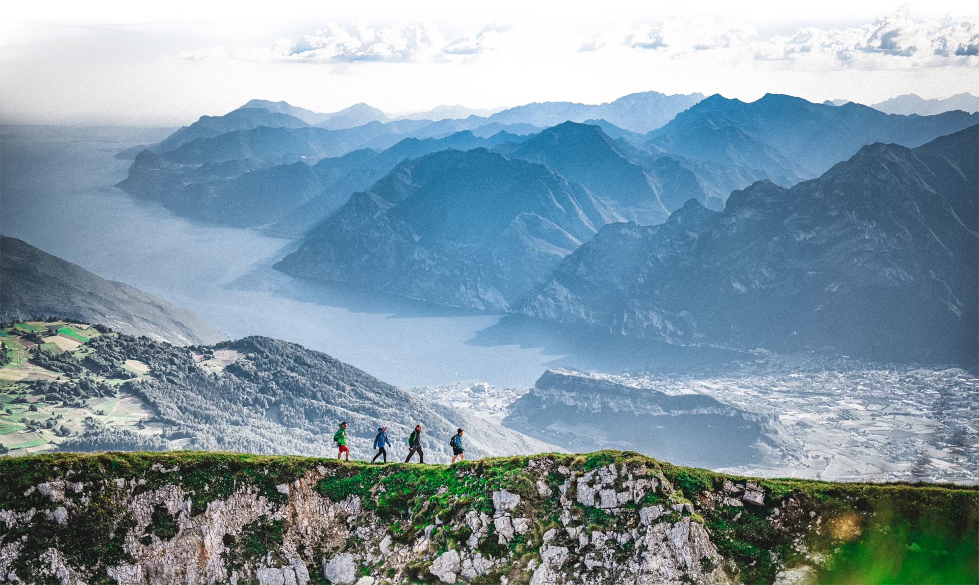
A journey made of people and encounters, where history, culture, and nature intertwine along ancient paths and small welcoming inhabited centers.
The San Rocco Path is a 70 km route in lower Trentino crossing Mori, Ronzo-Chienis, the Val di Gresta, and the Brentonico Plateau, territories of the Vallagarina devoted to landscape care, environmental and agricultural sustainability.
Inspired by San Rocco, protector against pandemics and a symbol figure for volunteers and pilgrims, it was born in the difficult year 2020 from a proposal emerged from the community. The route took shape step by step thanks to the discovery of 28 chapels dedicated to the saint on the territory.
Along the San Rocco Path, which unfolds over 5 suggested stages, you can cross many landscapes characterized by the heritage of the Great War, traces of the 1600 plague, churches and chapels of great historical value, terraces and dry stone walls of the Val di Gresta, fields, vineyards and noble residences, small villages and a natural park, the meadows of the Brentonico Plateau.
Before you set out, download the GPX tracks to always have the route in view! The San Rocco Path (trail F20) is marked with official SAT signs and waymarks and white and red painted flags.
At the start of the first stage in Mori, remember to collect the San Rocco Path credential that will make you recognizable in the facilities that adhere to the project, giving you the right to various benefits and discounts. On the credential you can affix the 11 official stamps you will find along the Path as well as those provided by associations and facilities you will meet along the Path.
The stages in detail, which can be travelled individually:
STAGE 1 from Mori to Ronzo Chienis
STAGE 2 from Ronzo Chienis to Valle San Felice
STAGE 3 from Valle San Felice to Mori Vecchio
STAGE 4 from Mori Vecchio to the Sorne of Brentonico
STAGE 5 from the Sorne of Brentonico to Mori
For details, stage information, and updates visit the official website camminosanrocco.it
The itinerary can be travelled all year round and completely safely, both alone and with company, and it is a mixed route with sections of trail, dirt road, and asphalt.
The Path follows roads suitable for vehicles, farm roads, small trail sections, and mountain paths. The route is 70 km long and is properly marked by white and red hiking signs with the identifier F20 and the Path logo; follow the signs and you will not get lost.
It is recommended to download the GPX track before starting and to consult the official website.
Appropriate trekking clothing and suitable changes for a multi-stage route are recommended.

