Directions
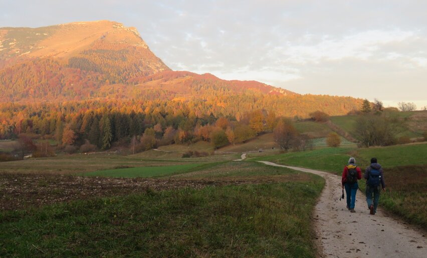
From the centre of Vigo Cavedine, head towards the small Church of Sant’Udalrico. Follow the SP85 for about 100 metres and, at the next junction, turn left following the Cammino marker to enter the countryside.
Continue along the country road, following the signs, until you reach a small roundabout. Go straight ahead to the next junction, then turn left and walk uphill for about 100 metres.
At the junction by Maso Michelotti, turn right towards Drena, following the Cammino marker.
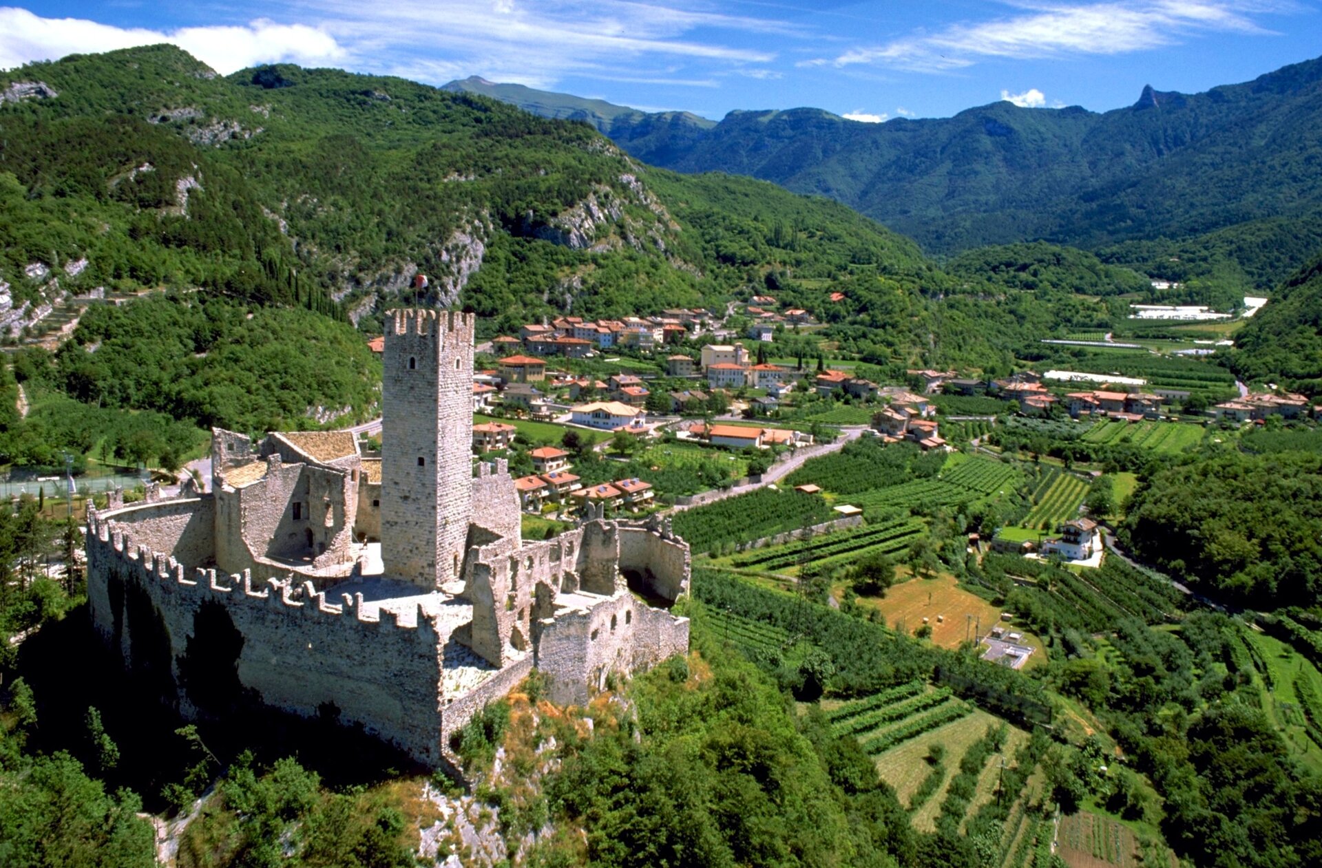
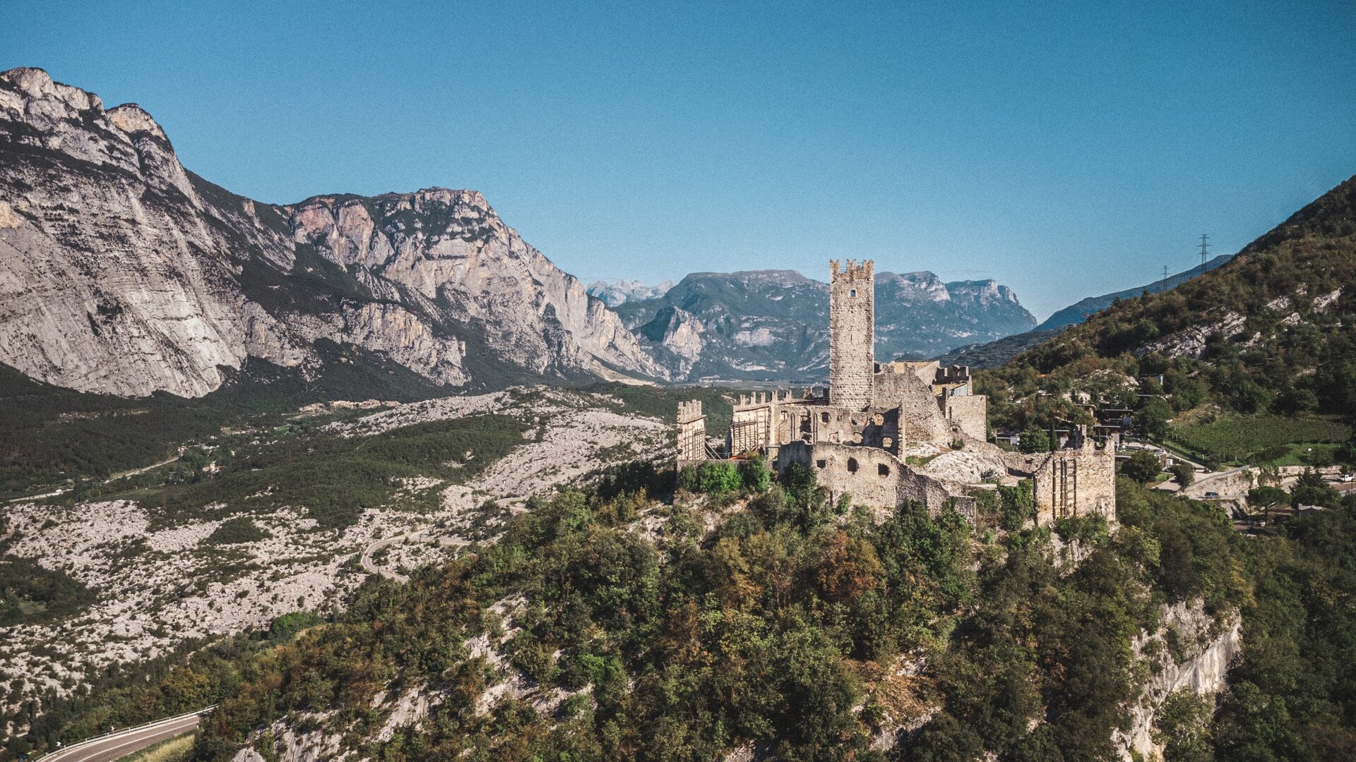
On reaching Località Luc, turn right at the first junction and right again at the second. Follow the paved road downhill towards the centre of Drena and the castle.
Head uphill towards Drena Castle and, after the first ramp, turn right onto a trail through the woods. The path descends to the SP85. Cross the road carefully and re-enter the woods.
After crossing the SP85 a second time, continue through the woods and descend towards Dro. At the bottom of the descent, cross the SP85 once more and take the connection to the cycle and pedestrian path, following it to the centre of Dro.
From the main square, continue along Via Cesare Battisti, passing the theatre and library. At the end of the straight section, turn right and continue until you reach Via Dosso del Castello.
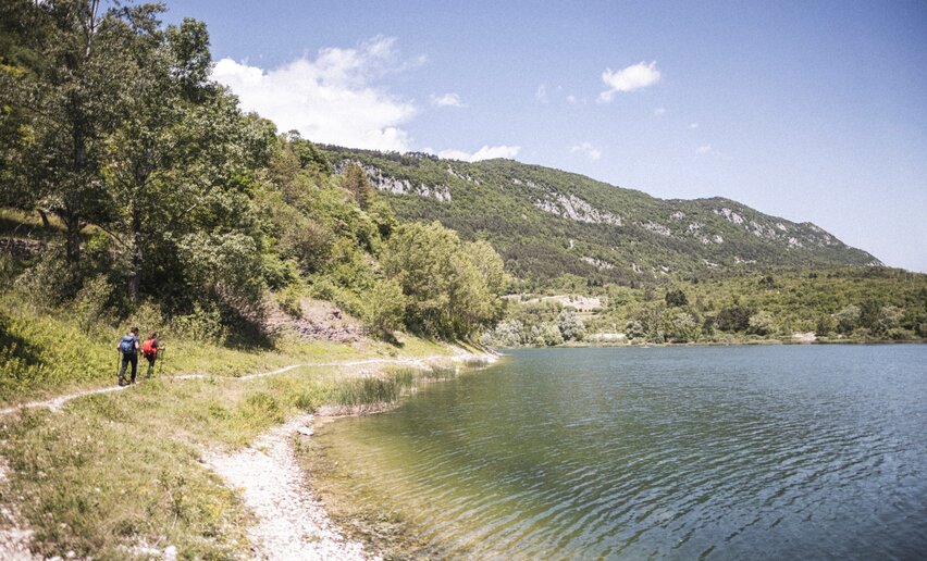
Follow the Cammino marker and, after about 200 metres, turn left onto the Sentiero dei Molinei. Continue along the trail until you reach Lake Bagattoli.
From the lake, continue to the SS45bis. Follow the pavement for a short section, cross the road at the traffic lights and continue to the Fies hydroelectric power station.
At the power station, turn right onto the cycle path and continue straight to the next junction. Turn left here, following the Cammino marker.
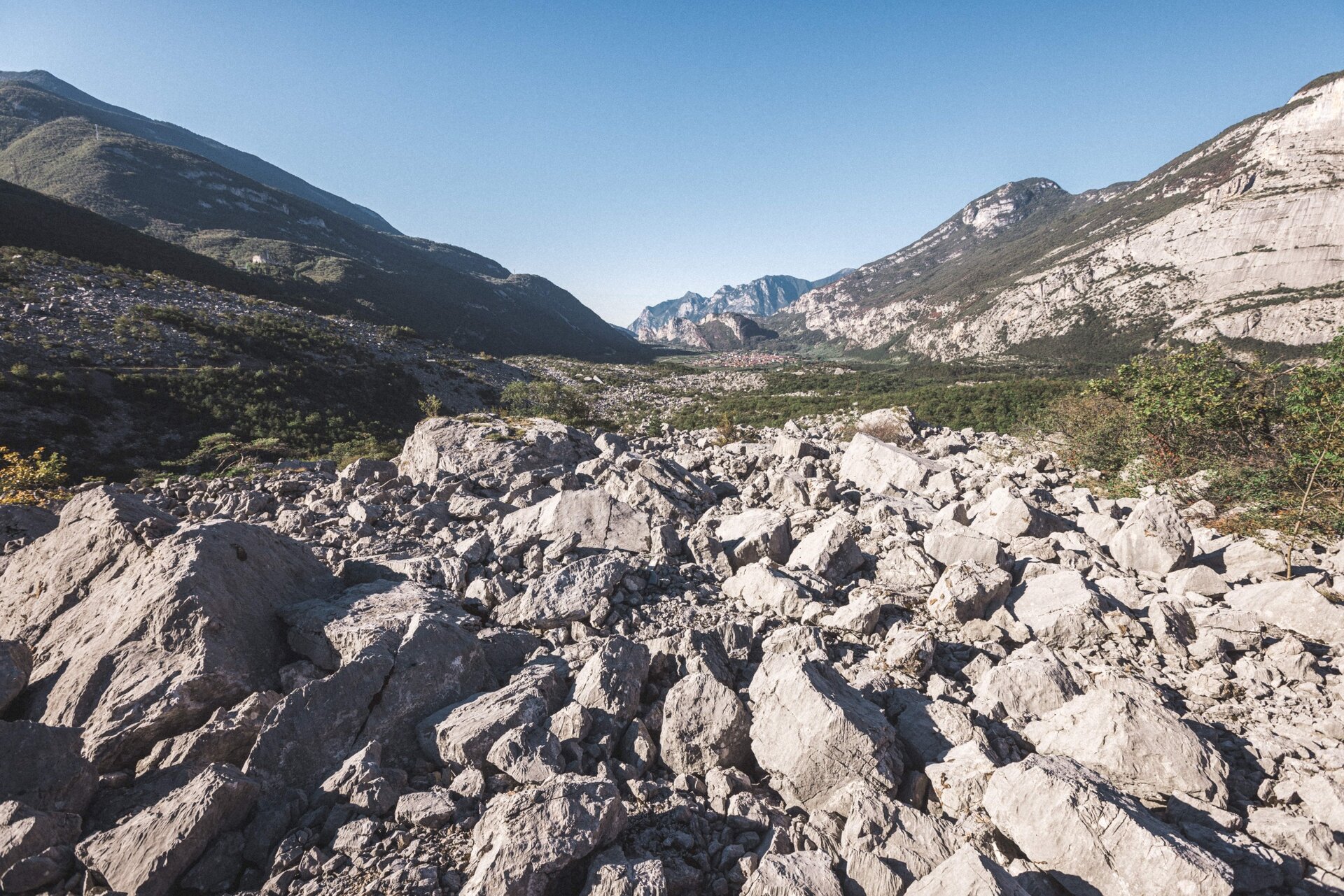
Continue through the countryside, then turn left into the woods, following the signs towards the Marocche di Dro.
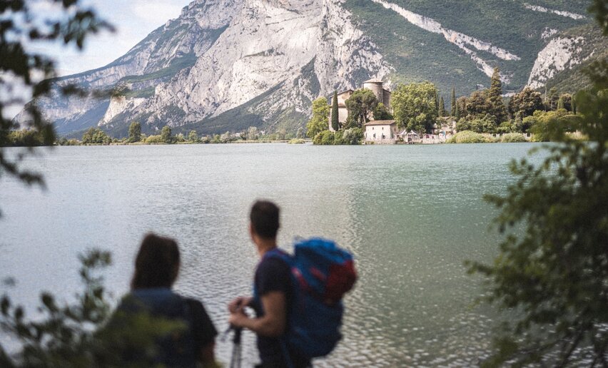
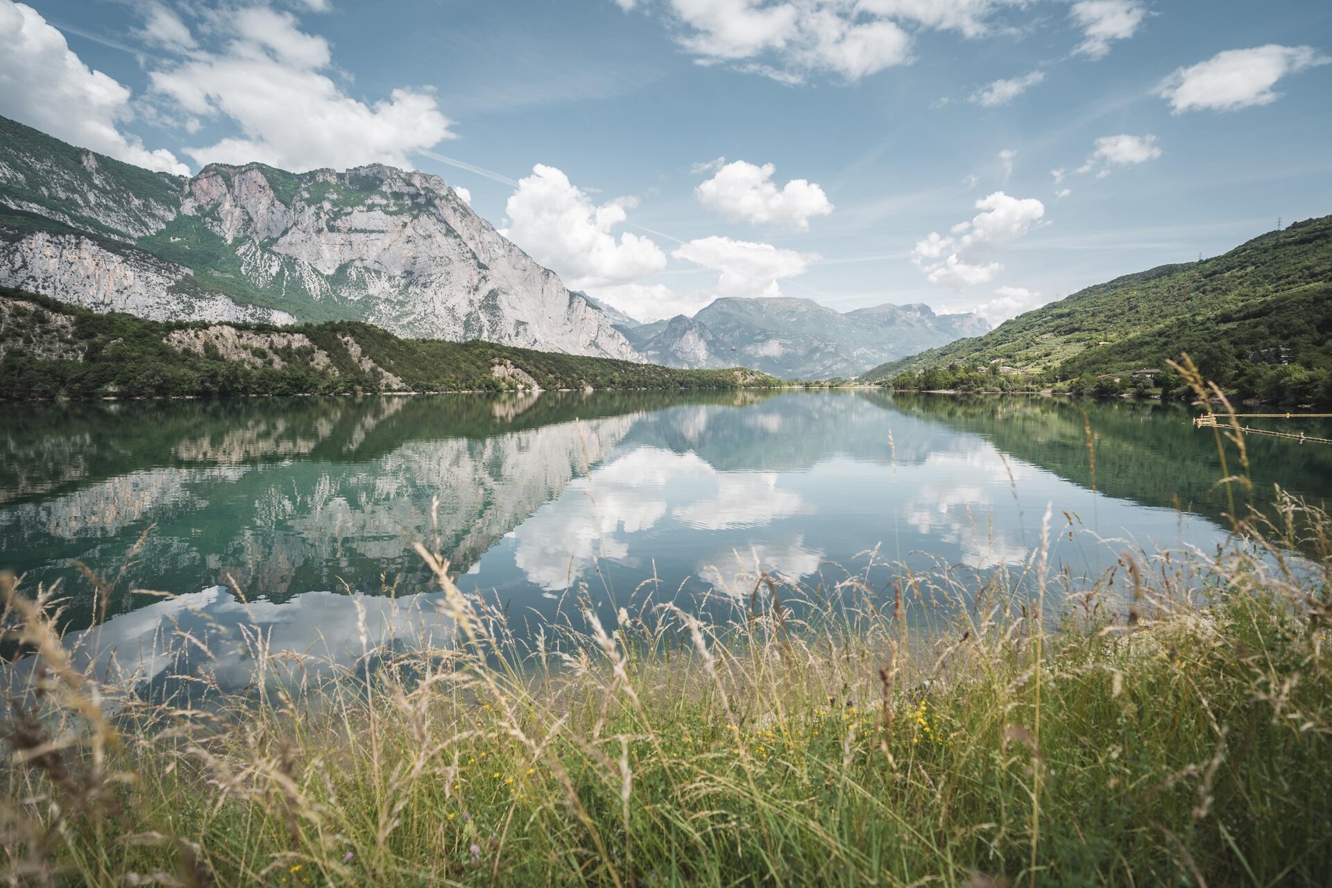
Cross the Marocche area, carefully following the route markers, until you reach Lake Cavedine.
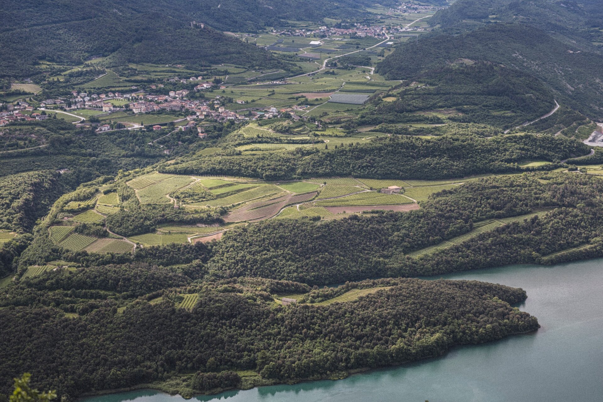
At the lake, turn left and take the trail along the western shore. Continue until you reach the left-hand turn marked by the Cammino sign.
Once you reach the forest road, turn left and follow it for about 200 metres. Then take the steep but safe trail on the right, which climbs towards the upper slopes of Monte Gaggio.
Continue following the signs until you reach the cycle and pedestrian path near Pietramurata. Turn left, cross a small bridge and continue to the next bridge.
Here, turn left and then immediately right, following the Rimone. Continue straight to Cantina Gino Pedrotti and then on to the centre of Pietramurata, where the fourth stage of the Cammino ends.


 Offers