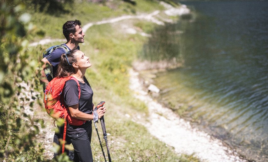
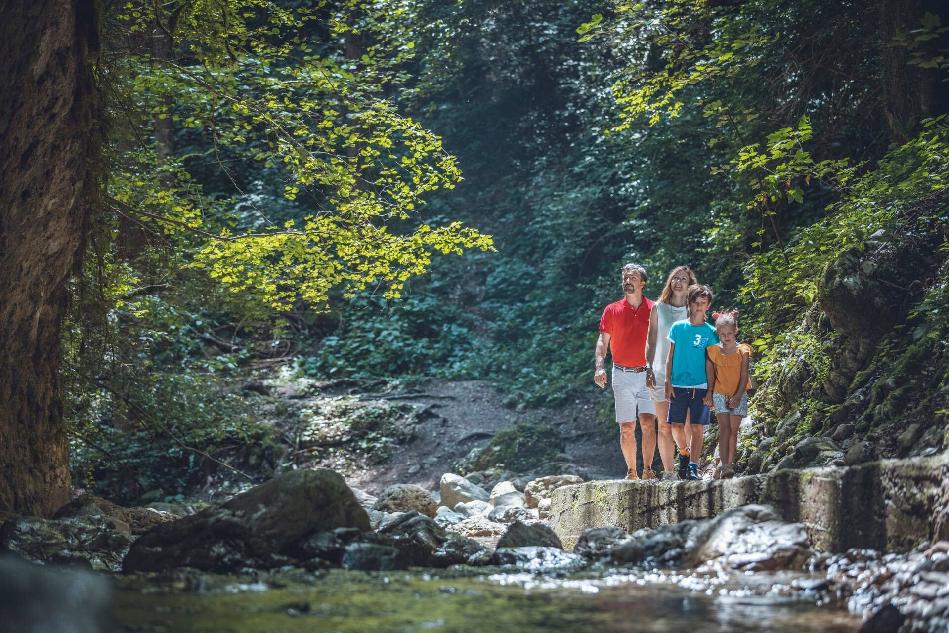
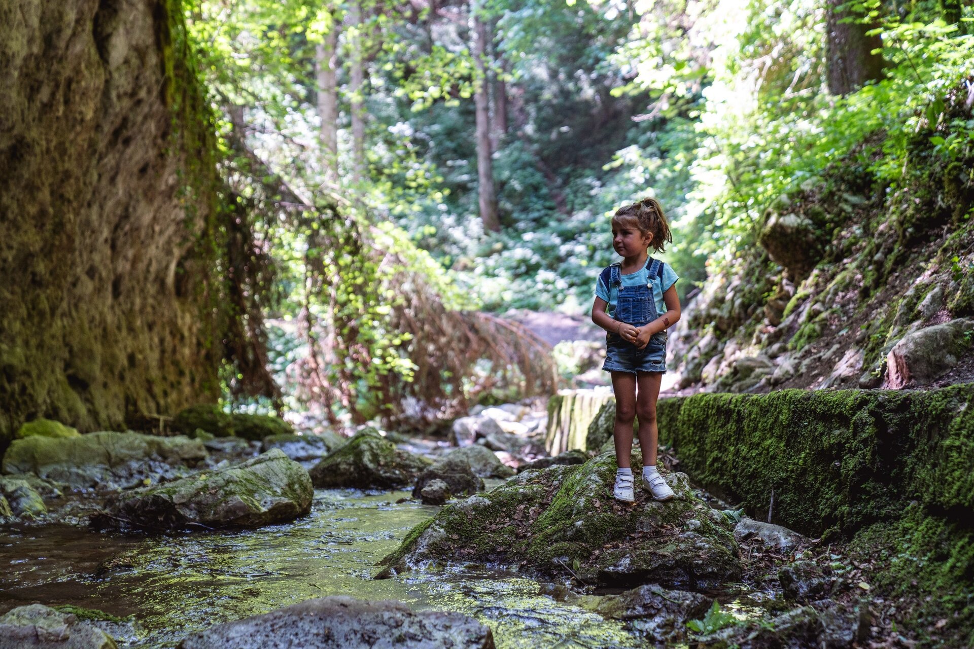
Gorg d’Abiss waterfall is one of the most striking spots in the Valle di Ledro and an ideal destination for families with children looking for an easy, peaceful walk, with just a touch of adventure in nature.
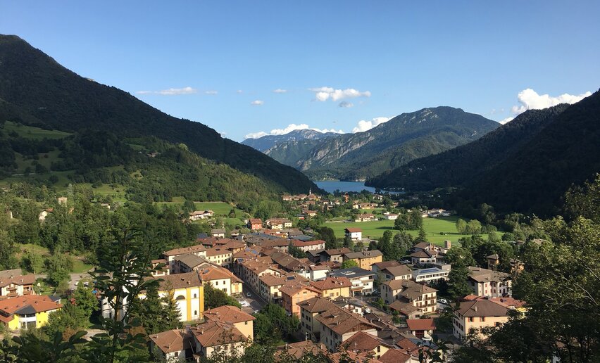
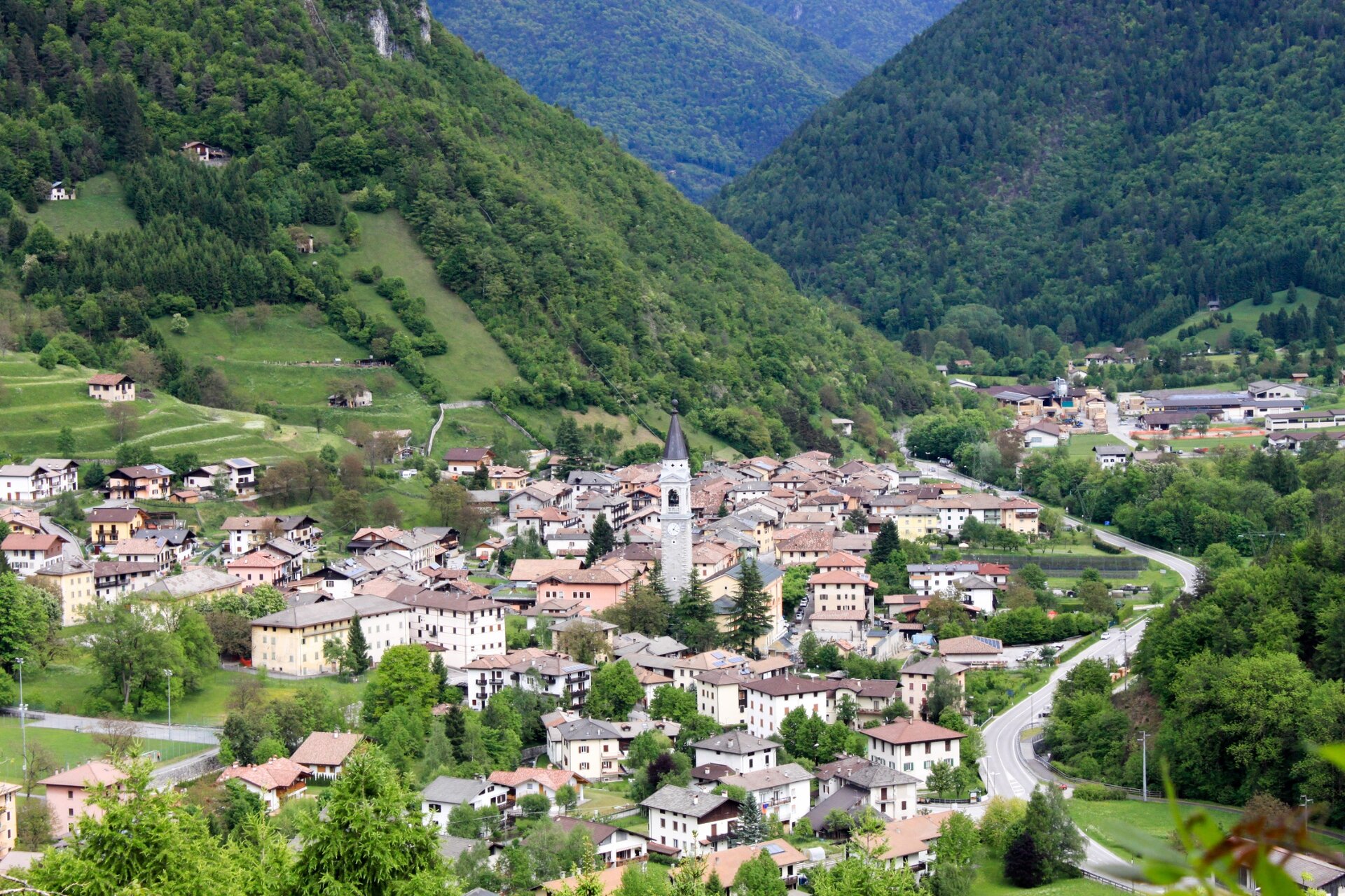
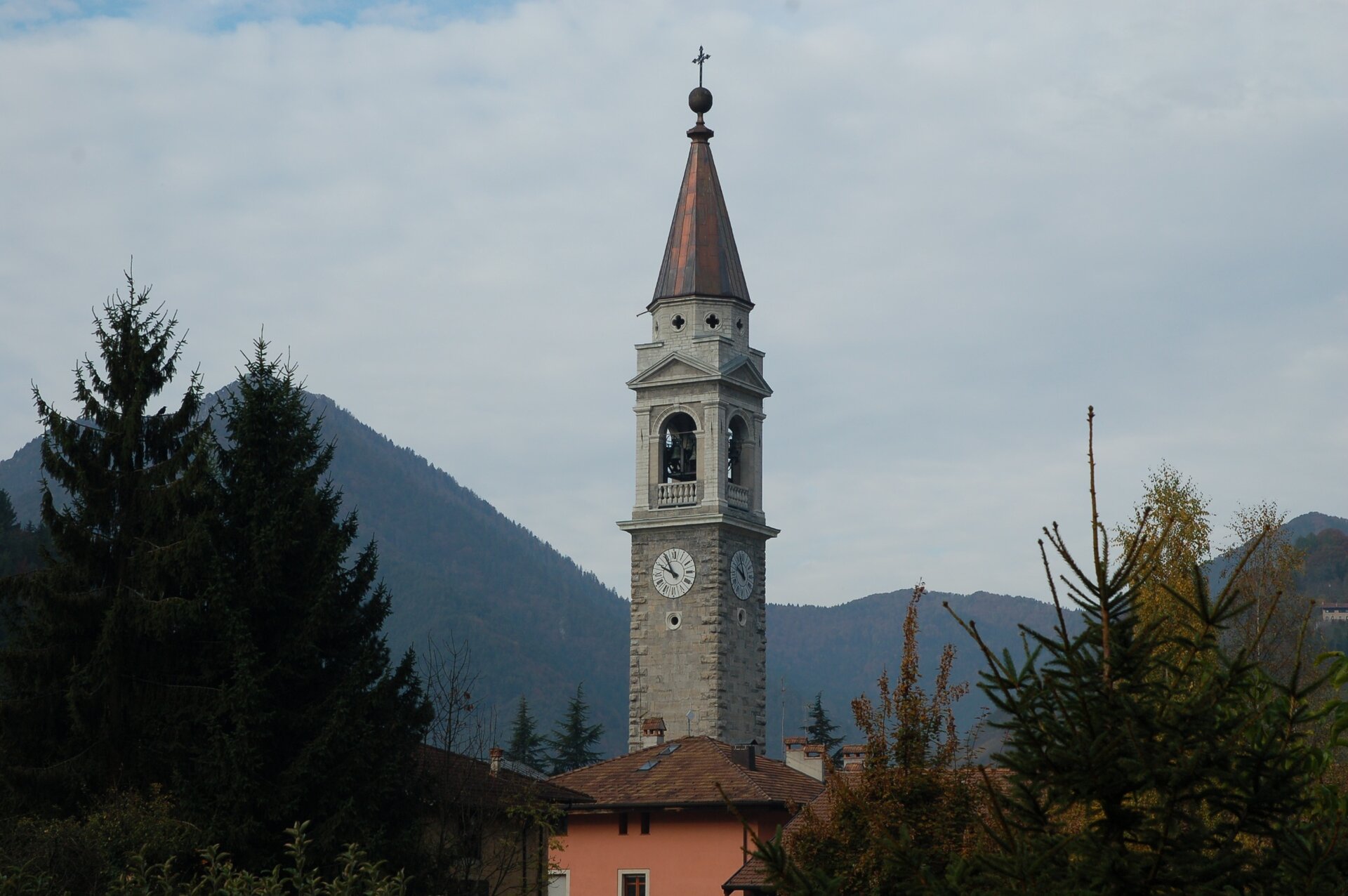
The route starts near Tiarno di Sotto, where the village church is also worth a visit: its bell tower, around 72 metres high, rivals the one in Pinzolo, in Val Rendena, for the title of the tallest in Trentino. The interior of the church is also full of interesting details.
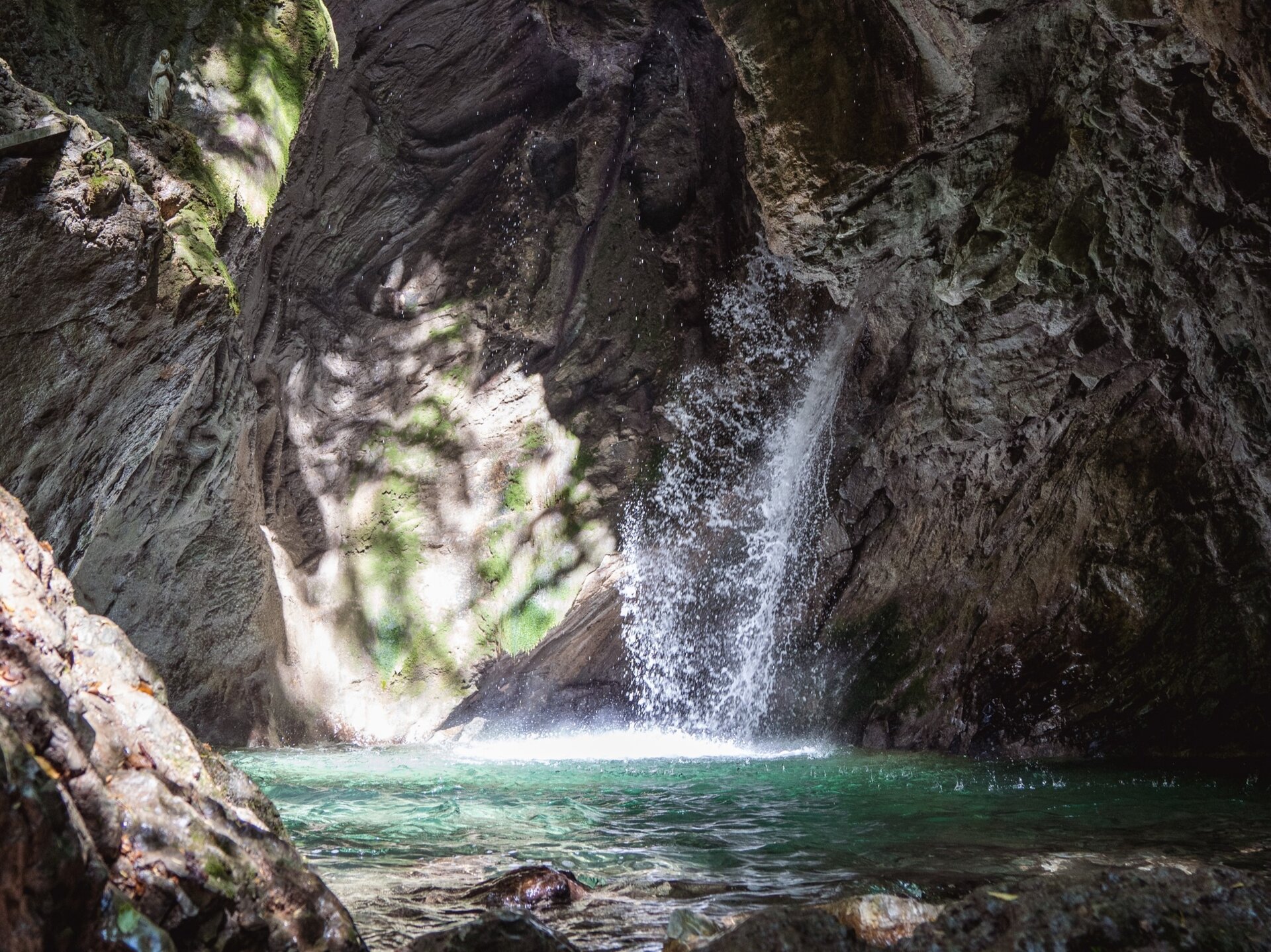
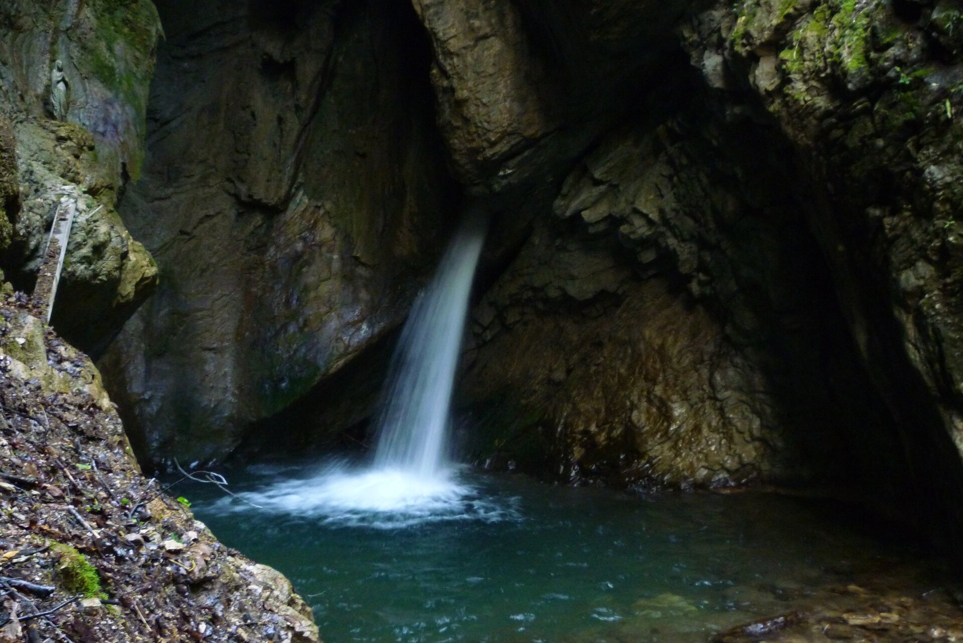
At the beginning of the trail, you come across the Mulino dei Bugatini, the only one of the many watermills that once stood along the Massangla stream to have survived to the present day. Continuing through the woods, you reach the waterfall, where over the centuries the Massangla has carved a natural hollow into the rock.
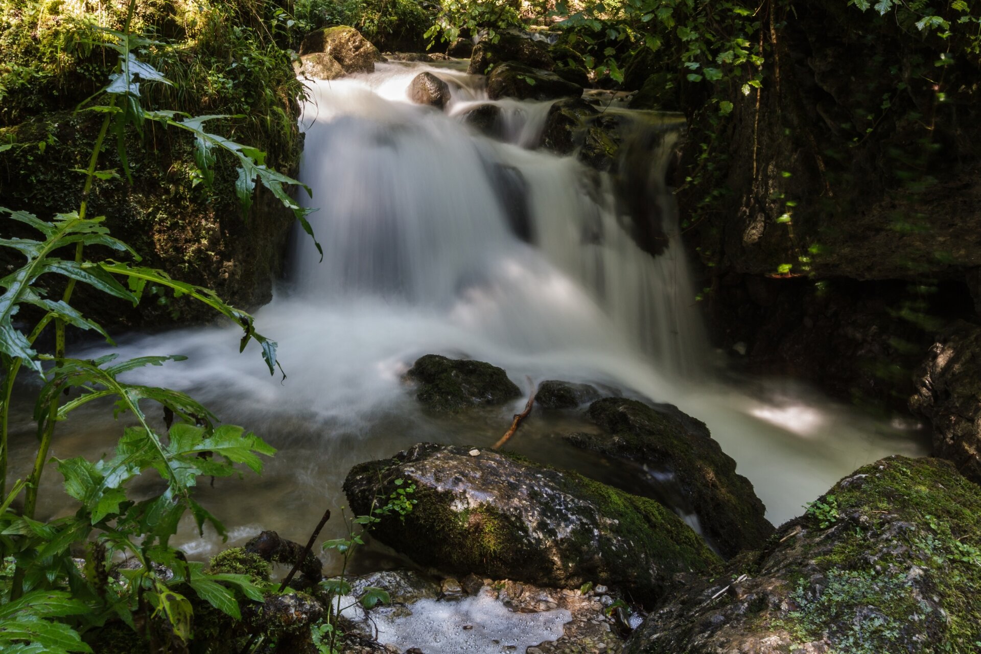
Here, the water emerges between the stone walls and drops into a small mountain pool, before continuing its journey as a narrow stream. It is a cool, secluded place where the force of water and the passing of time have shaped a truly special natural setting. The name “Gorg d’Abiss” means “vortex of the abyss” in the local dialect.
You’ve picked the perfect trail – now make sure you’re ready to enjoy it to the fullest. Local hiking specialists are here to help: guides, shops and experts with the tips and support you need for every step of the way.
details
Scenic
Insider tip
Out and back
Family-friendly
Route info
Easy
Route number
Distance
2,9 km
Duration
1 h
00 min
Altitude difference (+)
73 m
Altitude difference (-)
73 m
Physical effort
Scenary
Highest point
796 m
Lowest point
728 m
Suggestions
Relief from the summer heat in the coolness of the wood and the torrent.
Safety guidelines
The telephone number for the emergency services is 112.
The information on this chart is subject to inevitable variations, so this means that none of the indications are absolute. It is not entirely possible to avoid giving inexact or imprecise information, given how quickly environmental and weather conditions can change. For this reason we decline any responsibility for changes which the user may encounter. In any case, the hiker is advised to check the conditions of the places, environment and weather before setting out.
Punto di partenza
Tiarno di Sotto
Directions
Start from the church. Take Via Alla Sega and turn into Via Všeň. Proceed on the path along the torrent to the waterfall. Return along the same route.
public transportation
Valle di Ledro is connected to Riva del Garda by the intercity bus line 214 (Riva-Valle di Ledro-Storo).
Parking in Piazza San Giovanni Bosco in Tiarno di Sotto, in front of the church.
This excursion is quite simple and presents no particular difficulty. However, we still recommend you to wear suitable footwear, a hat, sun screen and sunglasses. And be sure to bring water!







 Offers