Directions
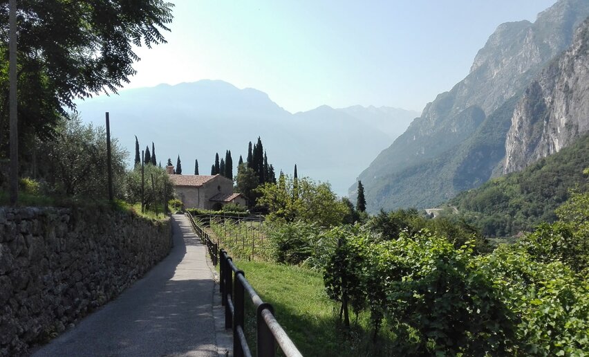
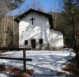
Start in Poia, at the intersection for Comano on the regional road towards Lundo. After parking your car, walk up the paved road clearly signposted “Agritur Mass Marocc”. Along a steep road with wide bends, through fields and orchards, you will reach the agriturismo. On the right of the farmstead, you will find a steep path leading through the woods. After crossing the border with the fields, arrive at a plain where you find a signposted path leading quickly to S. Croce church. Built in 1671and blessed during 1700, the church features a beautiful altar with two painted wood sculptures representing Our lady of Sorrow and S. John the Evangelist, plus precious decorations across the vaulted ceiling. After a visit to the church and a quick stop to rest, retrace your footsteps back to the plain. Leave the road you walked at the beginning on your right and walk up to the forest road which runs from Lundo to Comano. Follow the signs for Comano until you reach the centre of town. After crossing the centre, you will arrive at S. Giacomo’s church. Continue on the road leading out of town. Come to a shrine, bear right and follow the road all the way to Poia.



 Offers