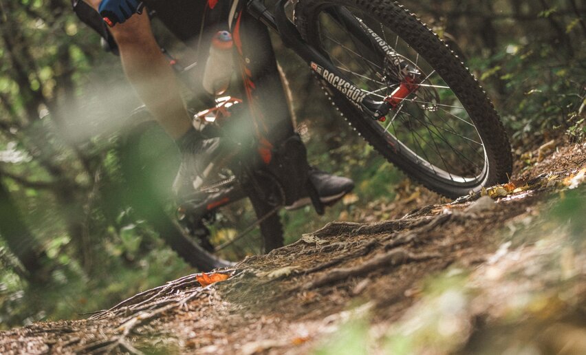
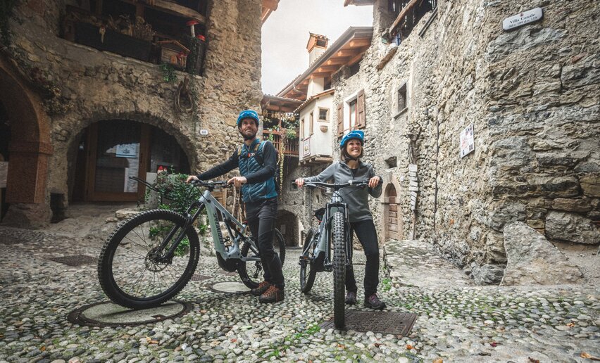
Picked your route? Now find the right experts to go with it. Make the most of every ride with support from local MTB specialists – from guides and rentals to shuttle services and workshops.
details
Linear route
Route info
Easy
Route number
1804a
Distance
1,1 km
Duration
05 min
Altitude difference (+)
1 m
Altitude difference (-)
80 m
Physical effort
Scenary
Highest point
711 m
Lowest point
627 m
Suggestions
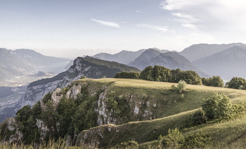
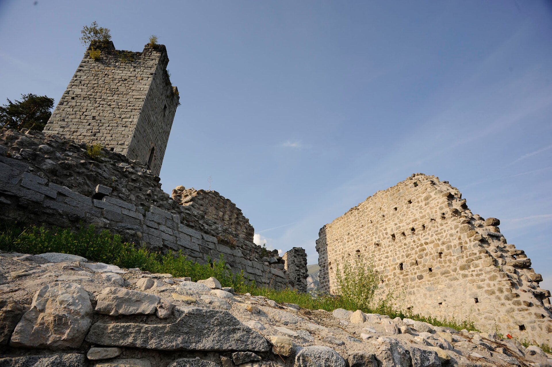
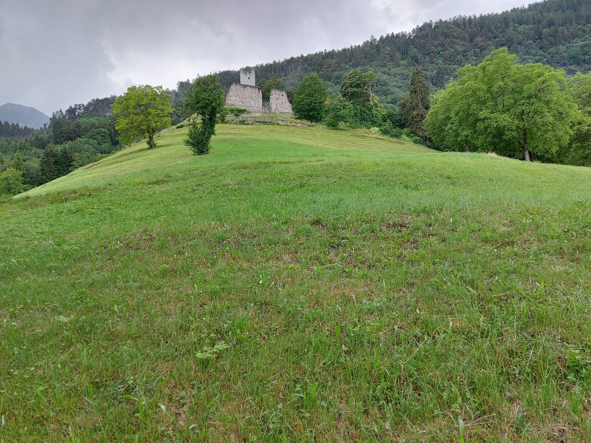
The ruins of Castel Restor, located on a panoramic hilltop, stand out over Duvredo.
Safety guidelines
ITRS - International Trail Rating System
The ITRS is an objective way to assess trails and routes from a biker’s perspective, evaluating four aspects:
Technical Difficulty: riding skill level needed
Endurance: combined effect of length, uphill and downhill
Wilderness: amount of planning required based on mobile phone reception, rescue options, water supply and wildlife
You share the trail with other users. Yield right of way to hikers.
Let your speed be determined by your experience.
Ride slowly on crowded trails, overtake with politeness and respect.
Cycle only on authorized and open trails.
Avoid muddy trails in order not to damage them further.
Respect public and private property.
Always be self-sufficient.
Do not cycle solo in remote areas.
This information is subject to inevitable variations, so none of these indications are absolute. It is not entirely possible to avoid giving inexact or imprecise information, given how quickly environmental and weather conditions can change. For this reason, we decline any responsibility for changes which the user may encounter. In any case, it is advisable to check environment and weather conditions before setting out.
Punto di partenza
Bivedo
Directions
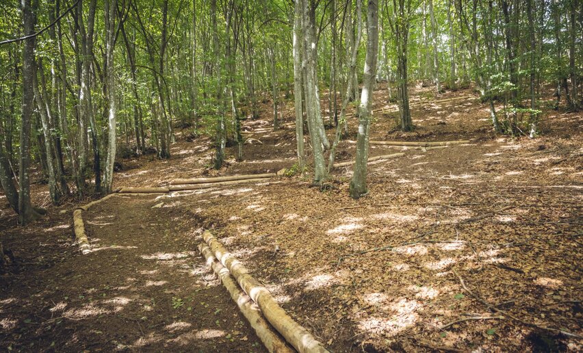
This shortcut follows a secondary asphalt road from Bivedo and rejoins the 1804. tour near Duvredo.
public transportation
The area around Comano is connected by the intercity bus lines 211 (Riva del Garda - Tenno - Fiavè - Ponte Arche) and 201 (Trento - Ponte Arche - Campiglio – Tione) to the other places in Garda Trentino.
Riding your bike requires specific clothing and equipment, even for relatively short and easy trips. It is always better to be prepared… e.g. for bad weather or a sudden drop in your energy levels. The unexpected things are part of the fun!
Remember to thoroughly evaluate the type of route you plan on doing, the locations you intend to cross and the current season. Has it been raining? Attention: The paths may be slippery and require more caution.
What do I need to bring on my bike tour?
An adequate water supply according to your needs (considering temperature, possibility of refuelling and duration of the route)
Plenty of snacks (for example, dried fruit or energy bars)
Waterproof / Windproof jacket
A spare top / spare socks (Descending in a sweaty garment, will make you cold).
Suncream
Sunglasses
Bike gloves/mitts
Map or GPS device
Bike lights: best placed on your helmet or handlebars. (It is always best to be prepared)
Bike repair kit for punctures and mechanical breakdowns
First aid kit
Emergency whistle
It is always advised to let someone know where you plan to go and how long you expect to be.


 Offers