aria.quick_link.navi aria.quick_link.skiptomaincontent aria.quick_link.footer
Brenner Pass closure Attention: Brenner Pass closure planned for May 30, 2026: plan your journey in advance. Details Close
Garda Trentino Logo
Top

Palafitte Bike Tour

Comano

Category
Difficulty
Intermediate
Duration
1:30
Duration in hours
Distance
15.5
Distance in km
Status
open
Suggested period
Jan
Feb
Mar
Apr
May
Jun
Jul
Aug
Sep
Oct
Nov
Dec

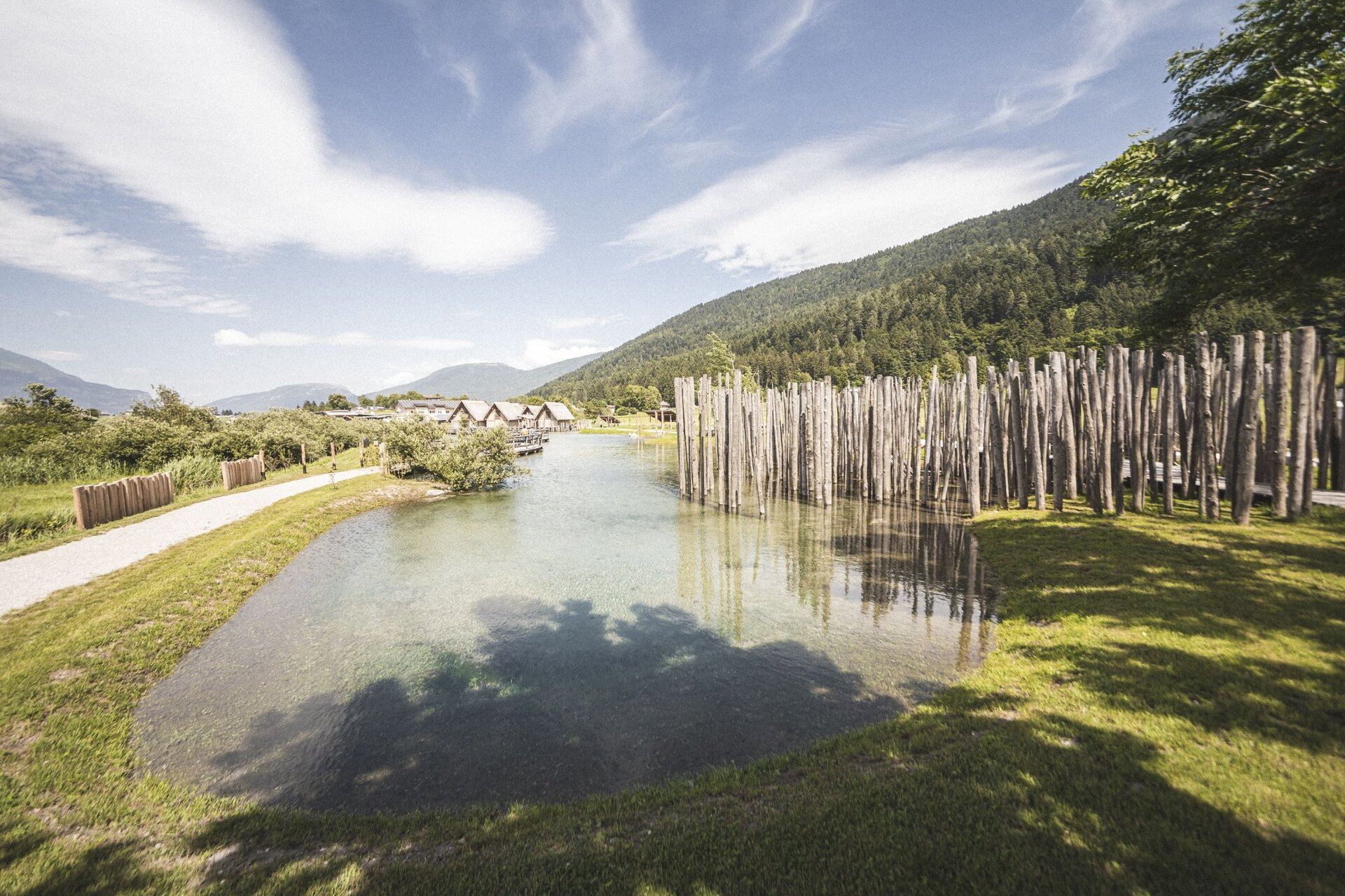
Child-friendly circuit in an archaeologically significant area.


Signage: 947. Palafitte Bike - Tour

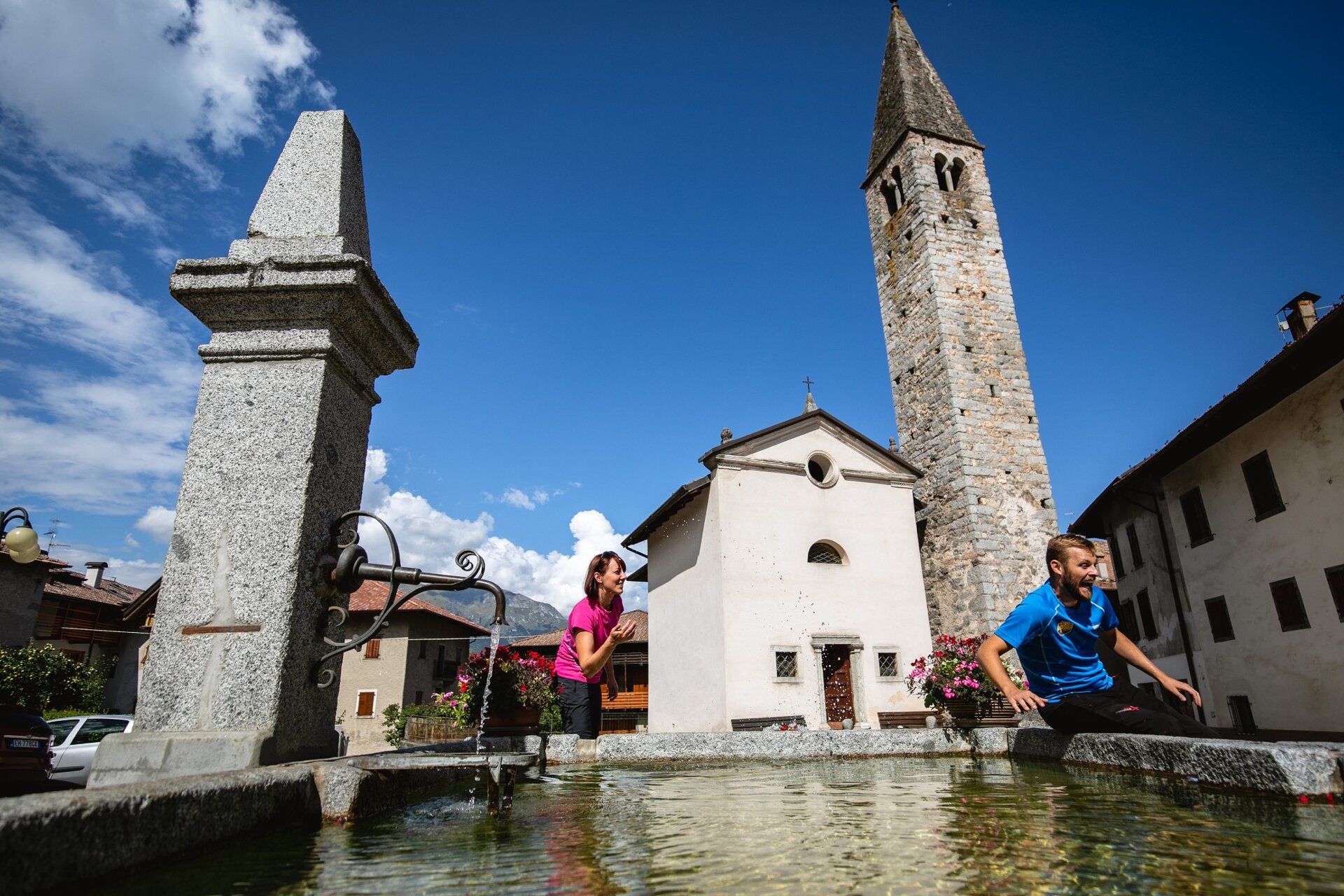
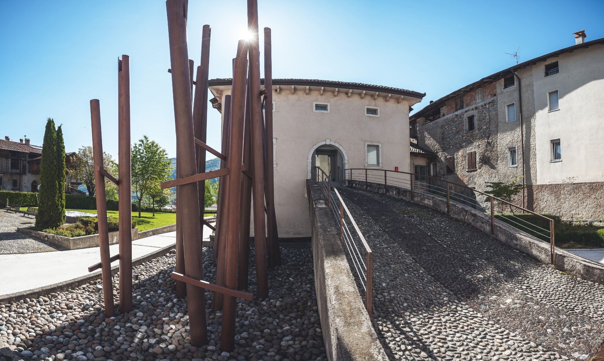
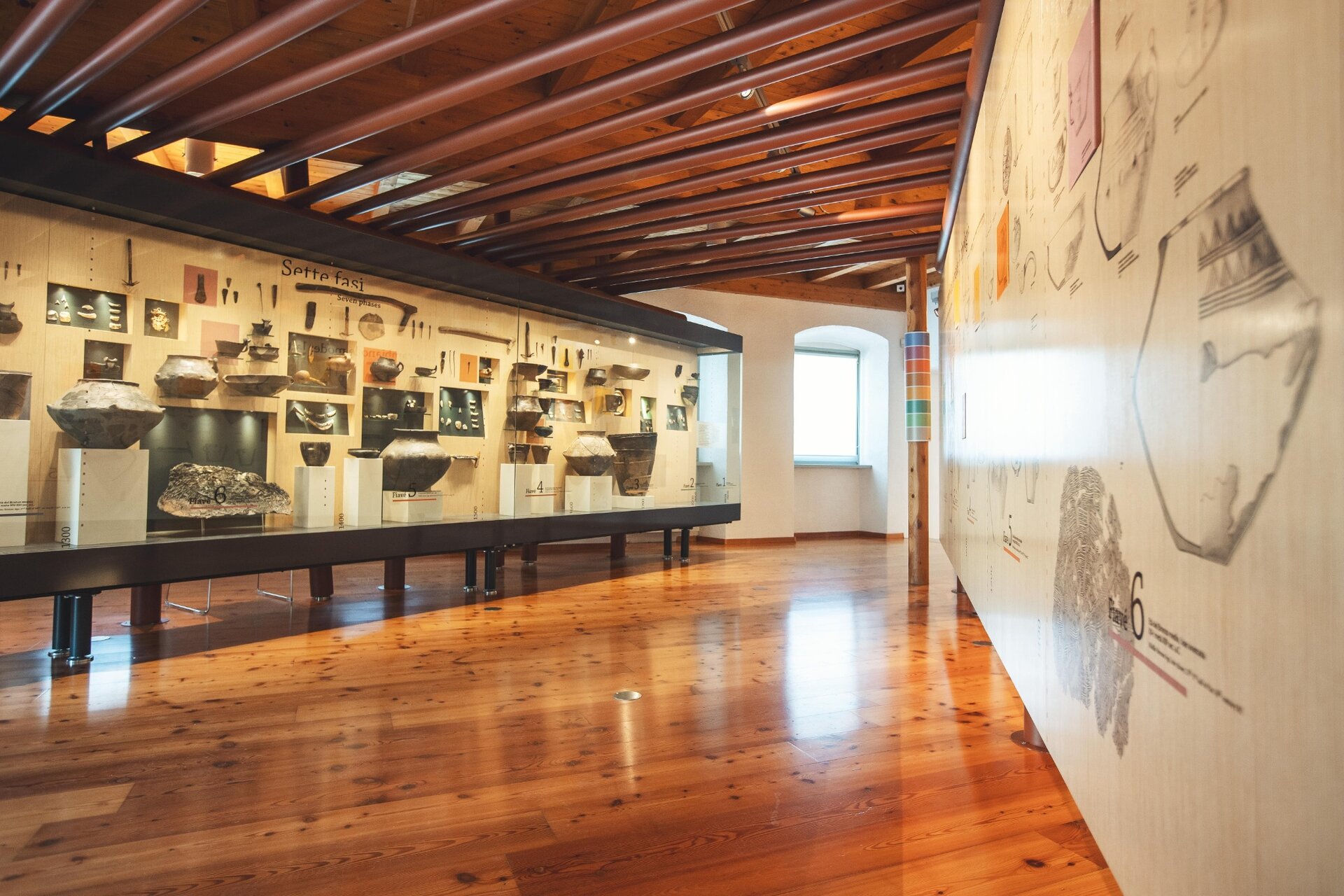
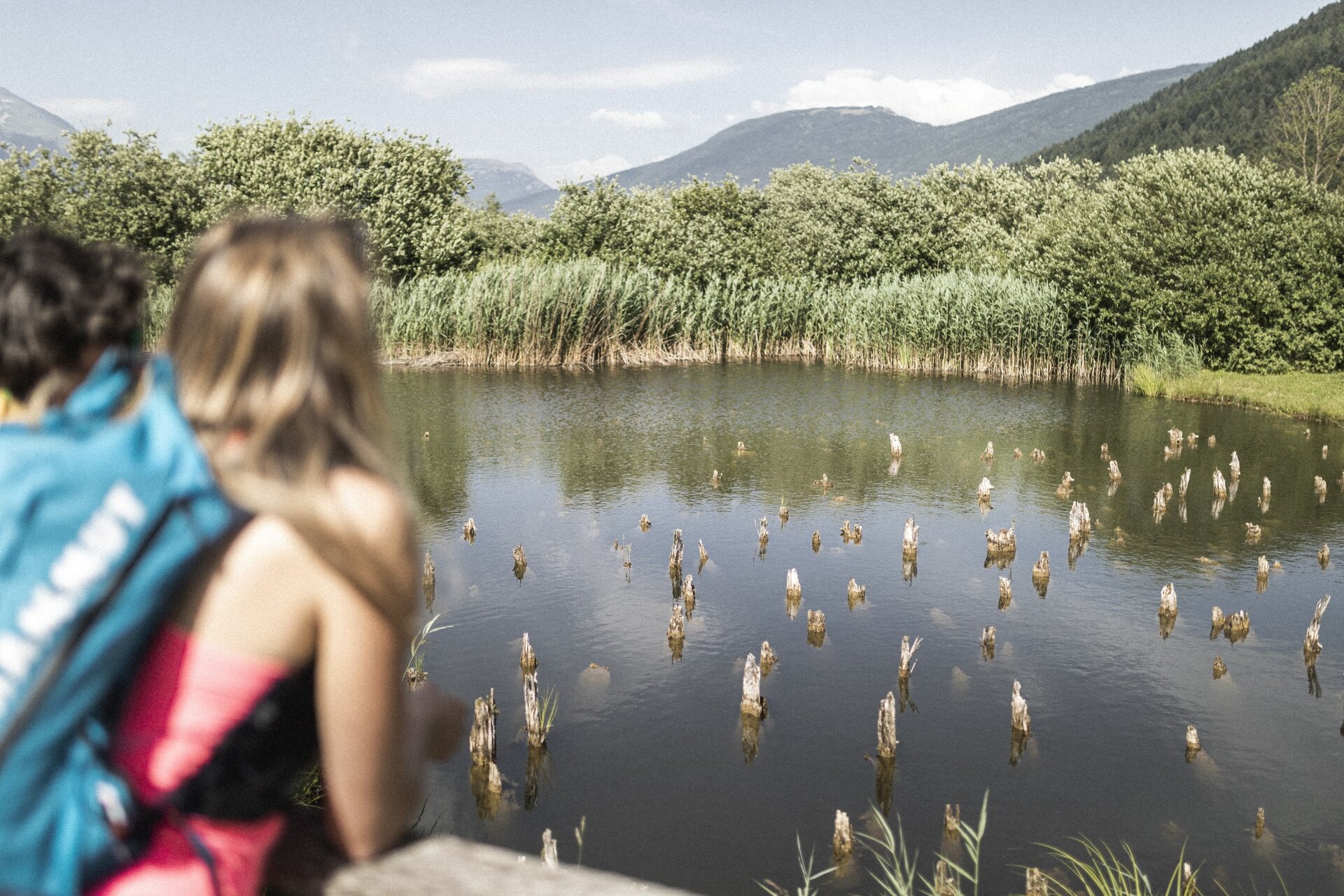
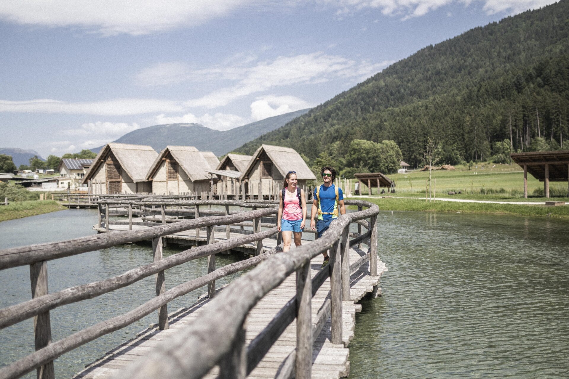
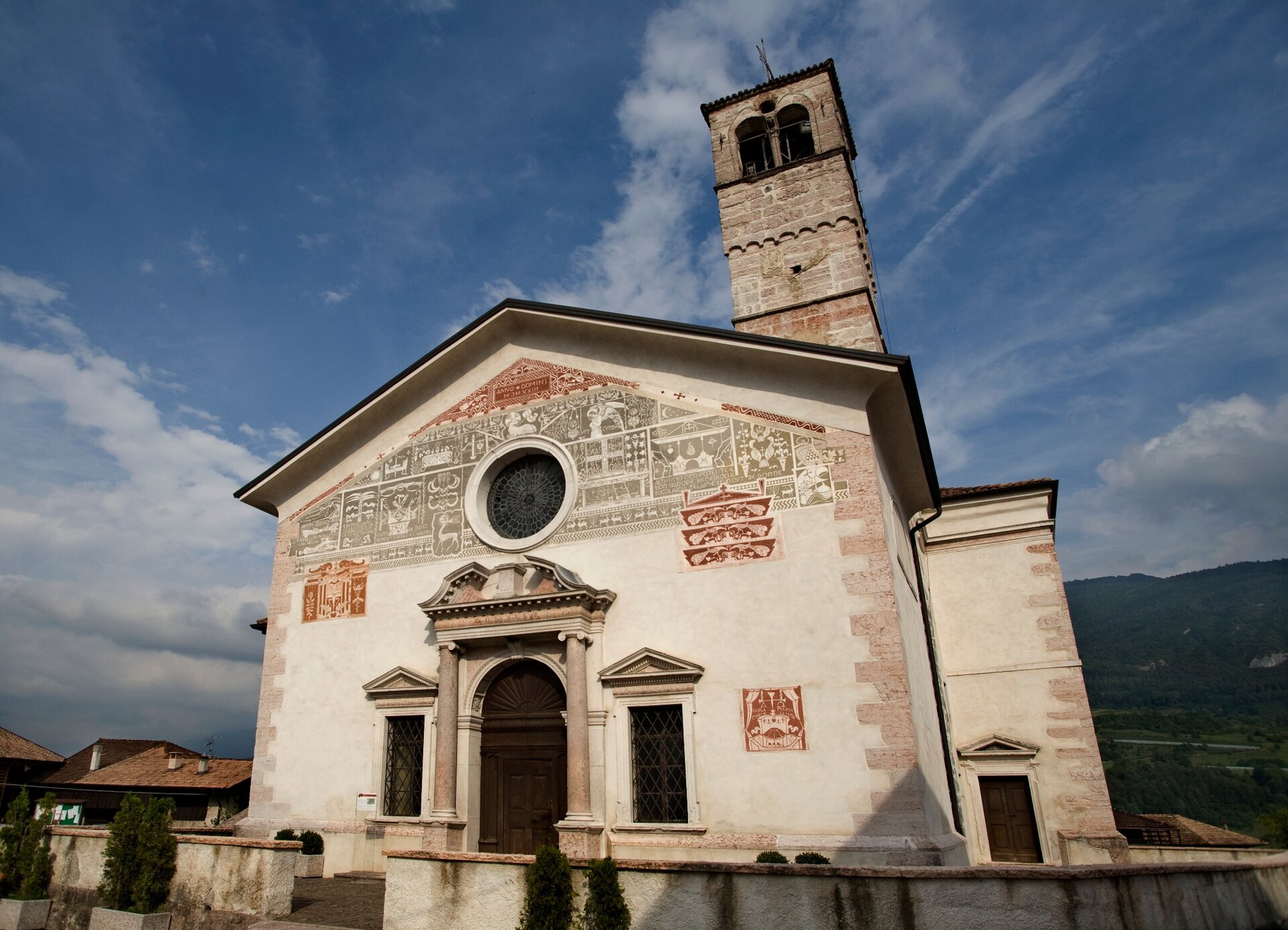
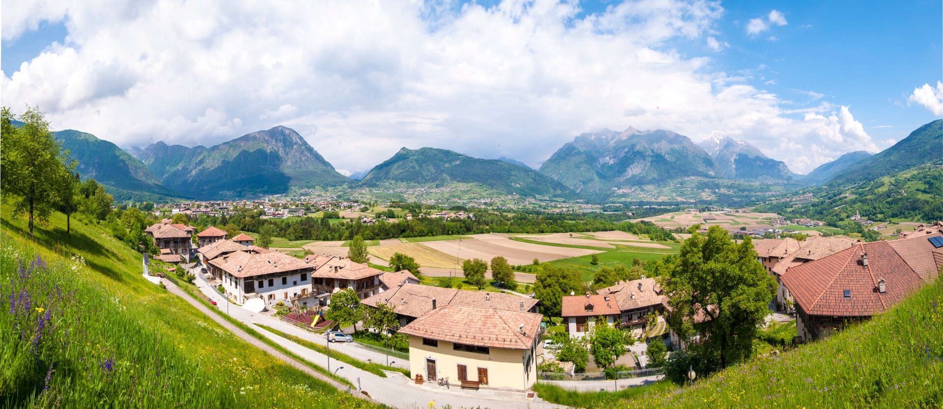
Start in the centre of Fiavé, head south past the Museo delle Palafitte (well worth a visit) until you reach the Torbiera near Fiavé, a peat bog where pile dwellings were built in prehistoric times.  The route continues southwards. At the highest point it almost reaches Passo del Ballino, the crossing towards Tenno. There the route turns and leads in a northerly direction on gravel paths, slightly downhill through the forest. You then switch back to tarmac and describe a wide loop around the village of Fiavé, through agricultural land. Passing the villages of Dasindo and Favrio, you end up back at the starting point having covered just under 15 kilometres. 
Further information and useful links
Picked your route? Now find the right experts to go with it. Make the most of every ride with support from local MTB specialists – from guides and rentals to shuttle services and workshops.
details
  • Round trip
  • Cultural/historical interest
Route info
Intermediate
Route number
947
Distance
15,5 km
Duration
1 h 30 min
Altitude difference (+)
330 m
Altitude difference (-)
330 m
Physical effort
Scenary
Highest point
758 m
Lowest point
495 m
Suggestions

The remains of the pile dwellings  with some realistic replicas can be seen at the Parco Archeo Natura or at the Pile-Dwellings Museum in the centr of Fiavé.

You might be interested in
Discover related tours

View over Castel Stenico | © Archivio Garda Trentino (ph. Ronny Kiaulehn), North Lake Garda Trentino
Intermediate
Comano
Stenico - Tour
Distance 18,1 km
Duration 2 h 20 min
Altitude difference (+) 570 m
Altitude difference (-) 570 m
Status

open
The switchbacks along the old military road of Tremalzo | © Archivio Garda Trentino (ph. Giorgio Dubini), Garda Trentino
Difficult
Riva del Garda, Ledro
Tremalzo Garda XXL - Tour
Distance 66,5 km
Duration 10 h 00 min
Altitude difference (+) 2.490 m
Altitude difference (-) 2.490 m
Status
open
View from Maso Naranch | © Archivio Garda Trentino (ph. Tommaso Prugnola), Garda Trentino
Difficult
Torbole sul Garda - Nago, Arco, Val di Gresta
Monte Corno Trail-Tour
Distance 20,2 km
Duration 3 h 35 min
Altitude difference (+) 980 m
Altitude difference (-) 980 m
Status
closed
Passo della Morte | © Archivio Garda Trentino (ph. Uli Stanciu), North Lake Garda Trentino
Intermediate
Comano, Valle dei Laghi
Comano Banale Trail-Tour
Distance 20,8 km
Duration 3 h 15 min
Altitude difference (+) 760 m
Altitude difference (-) 760 m
Status
open
Mount Stivo from Passo Bordala | © Archivio Garda Trentino (ph. Tommaso Prugnola), Garda Trentino
Difficult
Val di Gresta, Arco
Val di Gresta Trail-Tour
Distance 28,0 km
Duration 4 h 25 min
Altitude difference (+) 1.145 m
Altitude difference (-) 1.050 m
Status
open
I Prai da Gom | © M. Giacomello, Garda Trentino
Difficult
Arco, Dro & Drena, Riva del Garda, Tenno
Ronda Piccola (All Mountain)
Distance 44,8 km
Duration 7 h 55 min
Altitude difference (+) 1.640 m
Altitude difference (-) 1.640 m
Status
open