A direct link between Tremalzo and Lake Ledro which demands good confidence on two wheels.
Signage: 779b. Variante Caset Pubregn - Trail
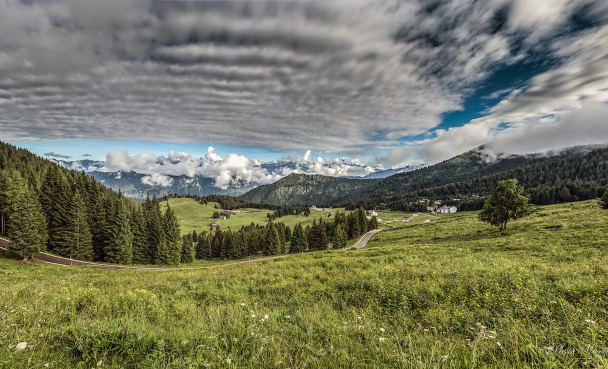
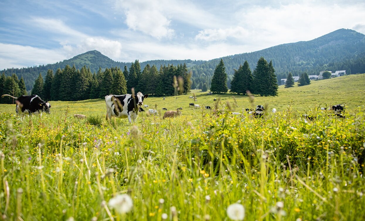
This route unwinds mostly on gravel and trail and shows two different aspects of Valle di Ledro’s landscape: the meadows and open spaces of Tremalzo and Malga Giù and the woods covering the mountains surrounding Lake Ledro, where thousand hues of blue peek amongst the green of the trees and promise refreshment and relax after an adventurous down ride.


Every year from August to October migratory bird en route to Africa fly over Bocca Caset. In this period the scientists from Muse – Museum of natural science – are at work day and night to study this incredible phenomenon and organize workshops and activities for curious passers-by.
ITRS - International Trail Rating System
The ITRS is an objective way to assess trails and routes from a biker’s perspective, evaluating four aspects:
Discover more about the ITRS system and check the classification of this tour in the photo gallery.
Safety Tips
This information is subject to inevitable variations, so none of these indications are absolute. It is not entirely possible to avoid giving inexact or imprecise information, given how quickly environmental and weather conditions can change. For this reason, we decline any responsibility for changes which the user may encounter. In any case, it is advisable to check environment and weather conditions before setting out.
The route is a variant of the 779. Tremalzo Big Tour that allows you to shorten the tour considerably.
Along the Tremalzo provincial road, near the Garibaldi refuge, we take the Caset forest road. When we reach the beginning of the road, we come to a fork and take the forest road on the right, which descends to the Malga Giù basin.
At the last hairpin bend with the malga in view, instead of continuing along the road, we take the path on the left that proceeds with a slight up and downhill stretch towards the Bochet de la Spinera. Just before reaching this point, where several paths cross, we follow the signs pointing to the right and begin our descent towards Pubregn on a stretch of path that is the most technical part of the route, with an uneven surface and continuous changes of direction.
After about 1 km, the path meets the forest road of Pubregn, which is rather wide and easy, on which we continue our descent. Having passed the barrier, we join the tarmac road at Doss de Pur and continue our descent, ignoring the small roads that give access to private properties. Having reached Via Europa, we turn left and continue downhill, joining the lakeside path near the Pieve sailing club.
Valle di Ledro is connected to Riva del Garda by the intercity bus line 214 (Riva-Valle di Ledro-Storo).
Up-to-date information on timetables and routes.
Parking at the starting point of the 779. Tremalzo Big Tour.
Riding your bike requires specific clothing and equipment, even for relatively short and easy trips. It is always better to be prepared… e.g. for bad weather or a sudden drop in your energy levels. The unexpected things are part of the fun!
Remember to thoroughly evaluate the type of route you plan on doing, the locations you intend to cross and the current season. Has it been raining? Attention: The paths may be slippery and require more caution.
What do I need to bring on my bike tour?
It is always advised to let someone know where you plan to go and how long you expect to be.
Emergency telephone number 112.

