aria.quick_link.navi aria.quick_link.skiptomaincontent aria.quick_link.footer
Garda Trentino Logo
Top

Cavedine Shortcut

Valle dei Laghi, Dro & Drena

Category
Difficulty
Easy
Duration
0:40
Duration in hours
Distance
7.1
Distance in km
Suggested period
Jan
Feb
Mar
Apr
May
Jun
Jul
Aug
Sep
Oct
Nov
Dec

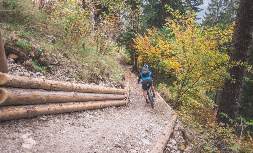
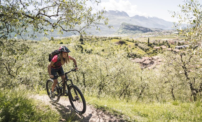
Easy-going shortcut or family-friendly MTB tour.

Signage: 1720a. Cavedine - Tour Shortcut

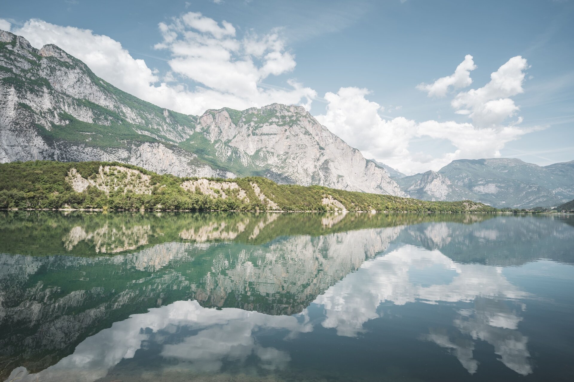
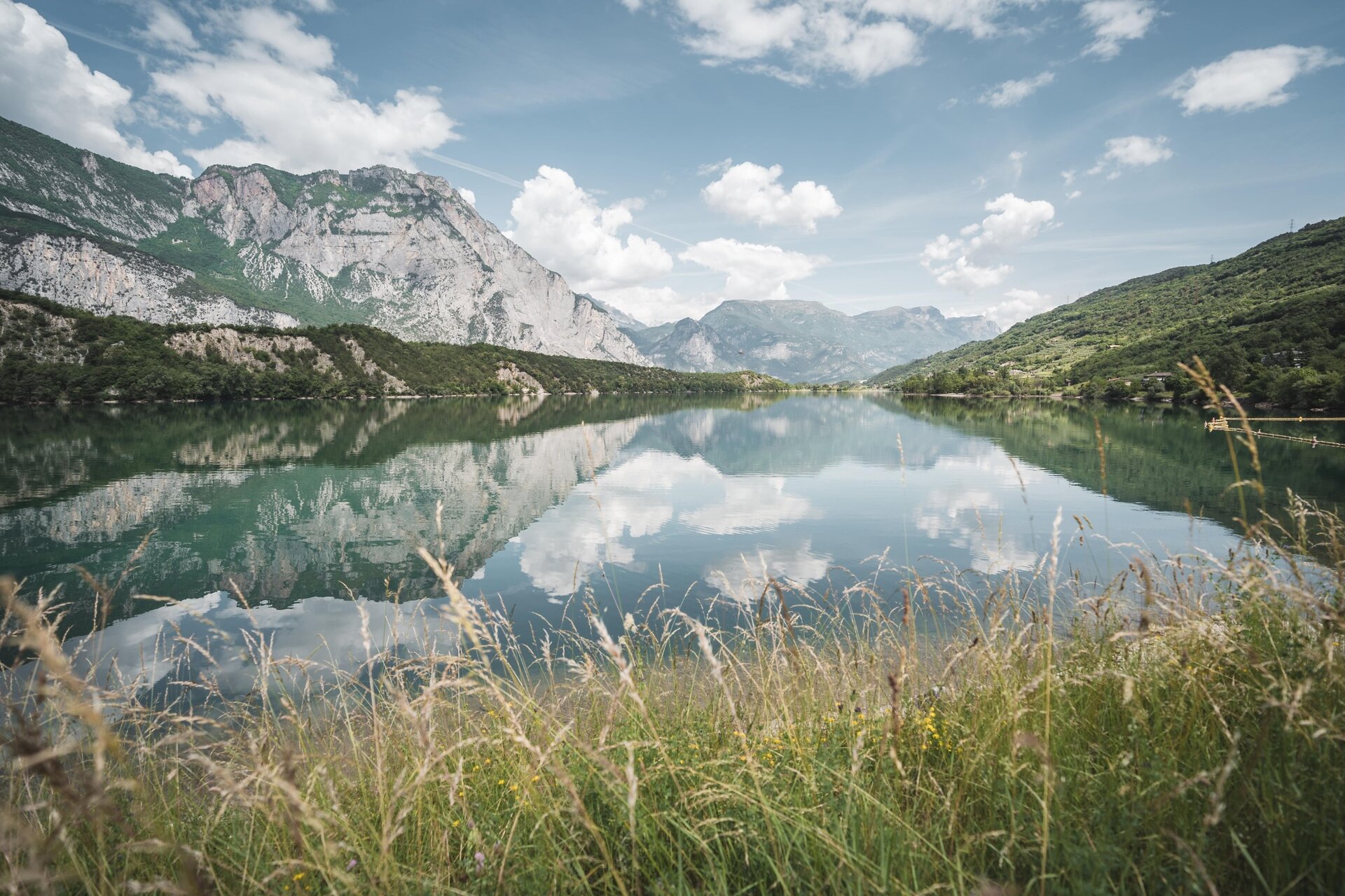
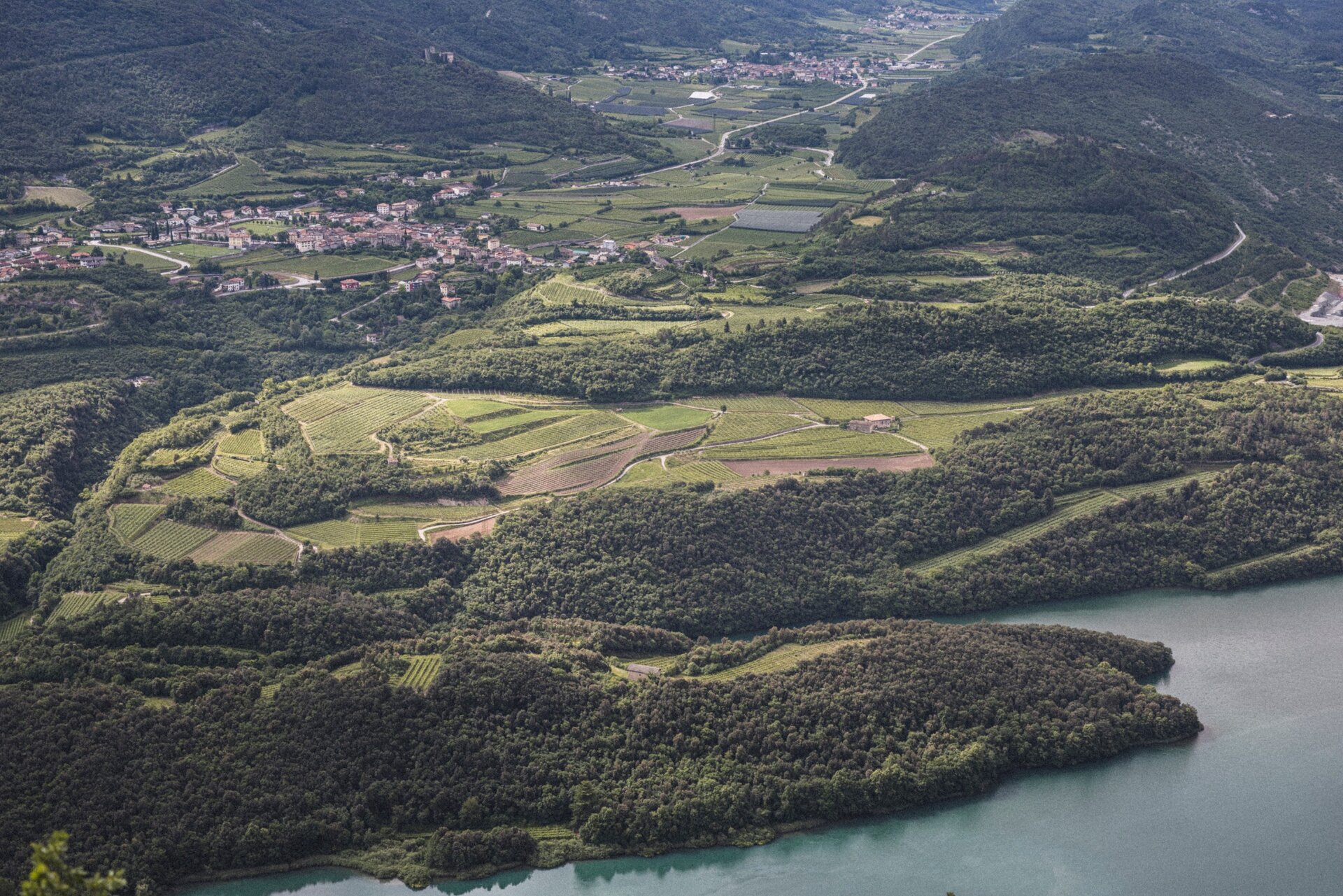
Variant of the 1720. Cavedine - Tour. If you don’t necessarily want to do a lot of climbing but still want to enjoy a varied mountain bike tour, take the shortcut back to Sarche and enjoy the views over Lago di Cavedine.
Further information and useful links
Picked your route? Now find the right experts to go with it. Make the most of every ride with support from local MTB specialists – from guides and rentals to shuttle services and workshops.
details
  • Linear route
  • Scenic
  • Refreshment stops available
  • Family-friendly
Route info
Easy
Route number
1720a
Distance
7,1 km
Duration
40 min
Altitude difference (+)
4 m
Altitude difference (-)
7 m
Physical effort
Scenary
Highest point
253 m
Lowest point
242 m
Suggestions

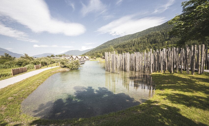
The meadows and beaches along the shores of Lake Cavedine are perfect for a break.

You might be interested in
Discover related tours

Riding with kids on the cycle path along river Sarca | © Archivio APT Garda Trentino (ph. G. Baldessari), Garda Trentino

Easy
Arco, Riva del Garda, Torbole sul Garda - Nago
Kids Tour
Distance 16,1 km
Duration 1 h 20 min
Altitude difference (+) 69 m
Altitude difference (-) 69 m
Status
open
Strada del Pil | © Archivio Garda Trentino (ph. Watchsome), Garda Trentino
Difficult
Valle dei Laghi, Torbole sul Garda - Nago, Arco, Dro & Drena, Riva del Garda, Tenno
Garda Sarca Loop
Distance 67,6 km
Duration 8 h 25 min
Altitude difference (+) 1.407 m
Altitude difference (-) 1.407 m
Status
open
Piazza III Novembre in Riva del Garda | © Archivio Garda Trentino (ph. Watchsome), Garda Trentino
Difficult
Riva del Garda, Ledro
From Lake Garda to Lake Ledro via Ponale
Distance 33,4 km
Duration 3 h 00 min
Altitude difference (+) 1.009 m
Altitude difference (-) 1.009 m
Status
open
Malga Giù | © Archivio Garda Trentino, Garda Trentino
Easy
Ledro
Variante Caset Pubregn - Trail
Distance 12,3 km
Duration 2 h 00 min
Altitude difference (+) 230 m
Altitude difference (-) 1.080 m
Status
open
View from Maso Naranch | © Archivio Garda Trentino (ph. Tommaso Prugnola), Garda Trentino
Difficult
Torbole sul Garda - Nago, Arco, Val di Gresta
Monte Corno Trail-Tour
Distance 20,2 km
Duration 3 h 35 min
Altitude difference (+) 980 m
Altitude difference (-) 980 m
Status
open
The descent from Preghent | © Archivio Garda Trentino (ph. Tommaso Prugnola), Garda Trentino
Easy
Ledro
Variante Dos de Preghent - Trail
Distance 5,2 km
Duration 45 min
Altitude difference (+) 36 m
Altitude difference (-) 520 m
Status
open