Logo Garda
Top

Mori - Avio - San Valentino

Surroundings, Torbole sul Garda - Nago
Category
Difficulty
Difficult
Duration
6:00
Duration in hours
Distance
73.6
Distance in km
Status
open
Suggested period
Jan
Feb
Mar
Apr
May
Jun
Jul
Aug
Sep
Oct
Nov
Dec

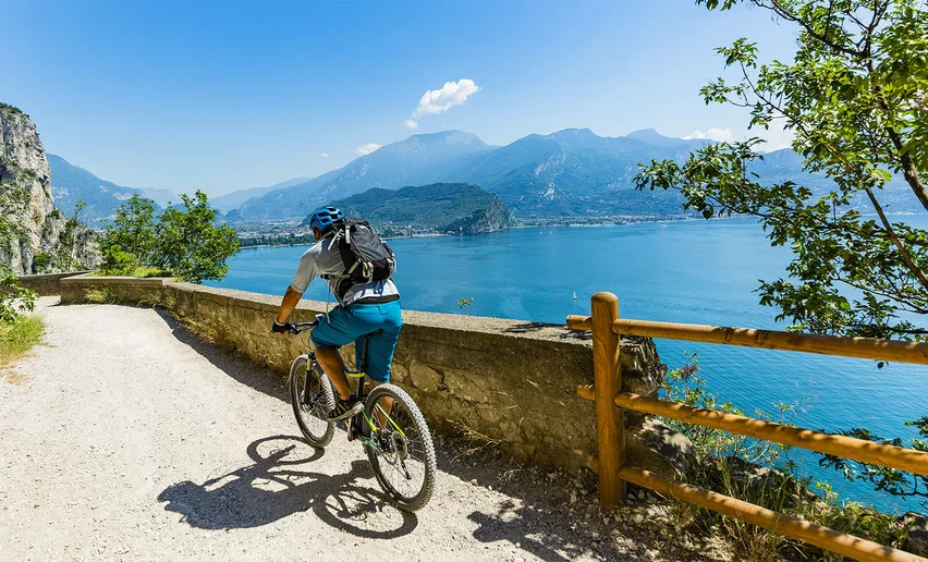
A tour on the slopes of Mount Baldo, for those who adore long climbs: 16 kilometres, with some tough sections, which lead to the San Valentino skiing resort.

This route takes us to the San Valentino skiing resort, located in the garden of Mount Baldo. There is a choice of different itineraries for getting there: in this tour we suggest taking on the road that leaves from Avio and heads into the Valle dei Molini.

Technically speaking, this climb is quite long and features an average gradient of 7.5%, with a few brief slopes that exceed 10%. Just as long a descent takes us back to where we started.

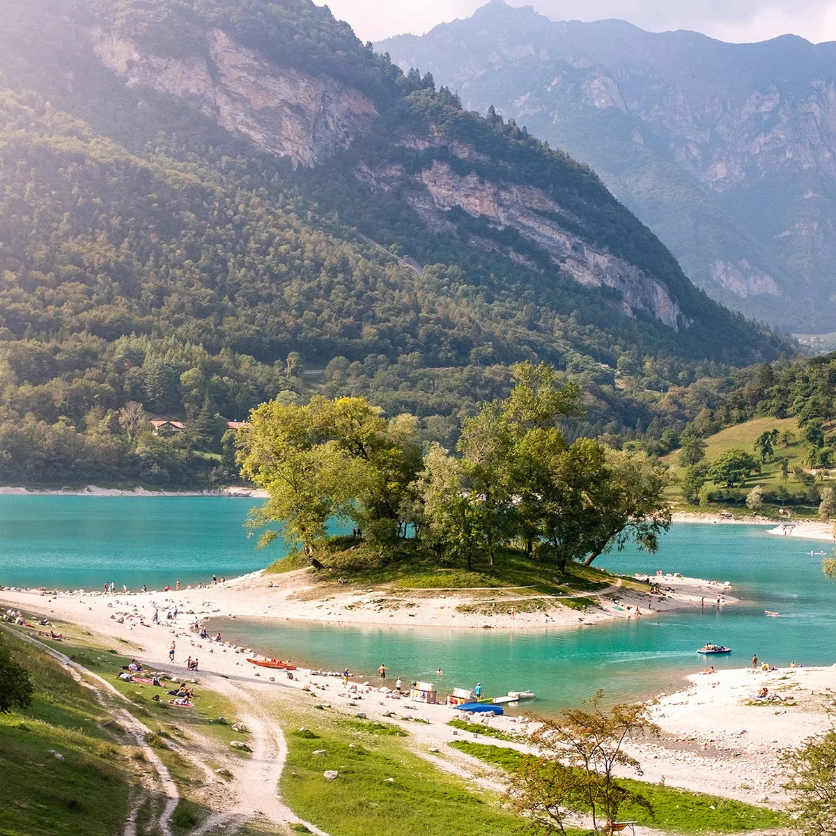
Almost completely traffic-free, this tour offers cyclists an opportunity to enjoy the nature of Mount Baldo to the full. Its quiet slopes, stunning in the winter but just as characteristic without snow, provide the perfect setting for a challenging tour, suitable for expert cyclists.


Further information and useful links

For more information on routes and bike services: rentals, workshops, shops and cycling friendly accommodation - APT Garda Trentino  Tel. +39 0464 554444 

Route info
Difficult
Route number
Distance
73,6 km
Duration
6 h 00 min
Altitude difference (+)
1.545 m
Altitude difference (-)
1.545 m
Technical skills
Physical effort
Scenary
Highest point
1.318 m
Lowest point
66 m
Suggestions

This itinerary can also be ridden in the opposite direction since the distance and gradients of the climbs do not change. The descent does though: it runs down a narrow road full of curves and is therefore much more technical.

Safety guidelines
  1. Give your bike a regular checkup, especially if you've had it for years.
  2. Be seen: you must wear a high vis jacket (or sash) in tunnels and on country roads after sunset.
  3. Always wear your helmet.
  4. Make sure your front and rear lights are working.
  5. Put out your arm to give advance warning of your intention to change position and before you do anything, check there are no vehicles coming up behind you.
  6. Don't use headphones or your mobile phone handsfree kit: you need all your concentration on the road!
  7. Obey the road signs: stop at traffic lights and don't ride on the wrong side of the road.
  8. If you are cycling in a group, always go in single file.
  9. You've got a bell: use it to let pedestrians know you're there. Don't ride on footpaths. If you have to then get off and push your bike.
  10. If there are cycle paths use them. It's your safety that's at stake and the rules of the road say you must.
Punto di partenza
Torbole - Info office
Directions

Start from Torbole sul Garda and then go uphill until Nago along the “Nago Vecchia (Old Nago)” road. From here on, following the cycle path reach Mori by passing the San Giovanni Pass and flanking the nature reserve of Loppio.

Arrived at the centre of Mori, turn right at the traffic light following the directions to Avio. Take the path running along the river Adige passing through Chizzola and Sabbionara. Once reached Avio turn right taking a 16km uphill road, called “little Stelvio”. Go through some gorges until the dam, before the last uphill road that leads to the S. Valentino's meadows.

Turn right, go downhill towards Brentonico and head back to Mori. From here on, take again the cycle path to Nago  and go downhill to Torbole.

public transportation

The towns in Garda Trentino - Riva del Garda, Torbole sul Garda and Arco – are connected by several urban and intercity bus lines which will take you to the starting point or in the immediate surroundings.

For up-to-the-minute information on timetables and routes

You can also get to Riva del Garda and Torbole sul Garda by the public ferry service.

How to get there
Where to park

Free parking in Torbole in the Busatte Park.

More Pay parking at the Panorama parking area, in Via Strada Granda or and along the lakefront Lungolago Conca d'Oro

Riding your bike requires specific clothing and equipment, even for relatively short and easy trips. It is always better to be prepared… e.g. for bad weather or a drop your energy levels. The unexpected things also make up a part of the fun!

Do not compare a road bike with a mountain bike. They are very different, especially in technical terms, and facing a hill with a road bike could be much more difficult than facing the same hill with a MTB. Therefore, remember to throughly evaluate the type of route you plan to do and the locations you plan to cross. Do not forget to consider the current season. Has it been raining? Attention: the paint of the crosswalk could be very slick.

What do I need to bring on my bike tour?

  • Bike helmet
  • Bike gloves
  • Bike glasses
  • Waterproof/Windproof jacket
  • Headlights and rearlights
  • Reflecting suspenders
  • Plenty of snacks (for example, dried fruit or energy bars)
  • Water Bottle
  • Bike repair kit (tire levers, mini bike pump, bike tube)

It is always advised to let someone know where you plan to go and how long you expect to be.

Emergency telephone number 112.

Torbole sul Garda - Nago
E-Bike Stop Parking Coel - Nago
bike stop
Torbole sul Garda - Nago
Carpentari Cycling Stories
open
closed
services
Riva del Garda
Energiabike
open
closed
bike shop
Torbole sul Garda - Nago
Garda Bike Shuttle
always open
services
Arco
Moser Sport Arco
open
closed
bike shop
You might be interested in
Discover related tours
Lake Tenno from above | © APT Garda Trentino, North Lake Garda Trentino
Intermediate
Arco, Comano, Dro & Drena, Riva del Garda, Tenno, Valle dei Laghi
Ballino - Durone - Stenico
Distance 87,6 km
Duration 5 h 00 min
Altitude difference (+) 1.470 m
Altitude difference (-) 1.470 m
Status
open
Lago di Garda | © Archivio APT Garda Trentino, Garda Trentino
Intermediate
Torbole sul Garda - Nago
Via Panoramica di Malcesine
Distance 34,6 km
Duration 2 h 49 min
Altitude difference (+) 432 m
Altitude difference (-) 432 m
Status
open
Road Bike Garda Trentino | © Archivio APT Garda Trentino (ph. Paolo Calzà) , Garda Trentino
Difficult
Torbole sul Garda - Nago, Arco, Ledro, Riva del Garda
Tour del Lago di Garda (clockwise)
Distance 142,6 km
Duration 6 h 00 min
Altitude difference (+) 480 m
Altitude difference (-) 480 m
Status
open
Passo S.Barbara | © Archivio APT Garda Trentino, Garda Trentino
Difficult
Arco, Riva del Garda, Torbole sul Garda - Nago, Surroundings, Val di Gresta
Monte Velo - Passo Santa Barbara - Bordala - Mori
Distance 60,2 km
Duration 4 h 00 min
Altitude difference (+) 1.577 m
Altitude difference (-) 1.566 m
Status
open
Lake Cavedine | © M. Giacomello, Garda Trentino
Intermediate
Dro & Drena, Valle dei Laghi, Arco
Tour della Valle di Cavedine
Distance 48,7 km
Duration 3 h 05 min
Altitude difference (+) 615 m
Altitude difference (-) 615 m
Status
closed
View on Lake Garda and the village of Canale di Tenno | © M. Giacomello, Garda Trentino
Intermediate
Tenno, Comano, Riva del Garda
Tenno - Ballino - Comano
Distance 59,5 km
Duration 4 h 55 min
Altitude difference (+) 1.270 m
Altitude difference (-) 1.270 m
Status
open