

For more information on routes, services (guides, mountain huts, shops etc.) and hiking friendly accommodation: Garda Trentino - +39 0464 554444
Safety Tips
This information is subject to inevitable variations, so none of these indications are absolute. It is not entirely possible to avoid giving inexact or imprecise information, given how quickly environmental and weather conditions can change. For this reason, we decline any responsibility for changes which the user may encounter. In any case, it is advisable to check environment and weather conditions before setting out.
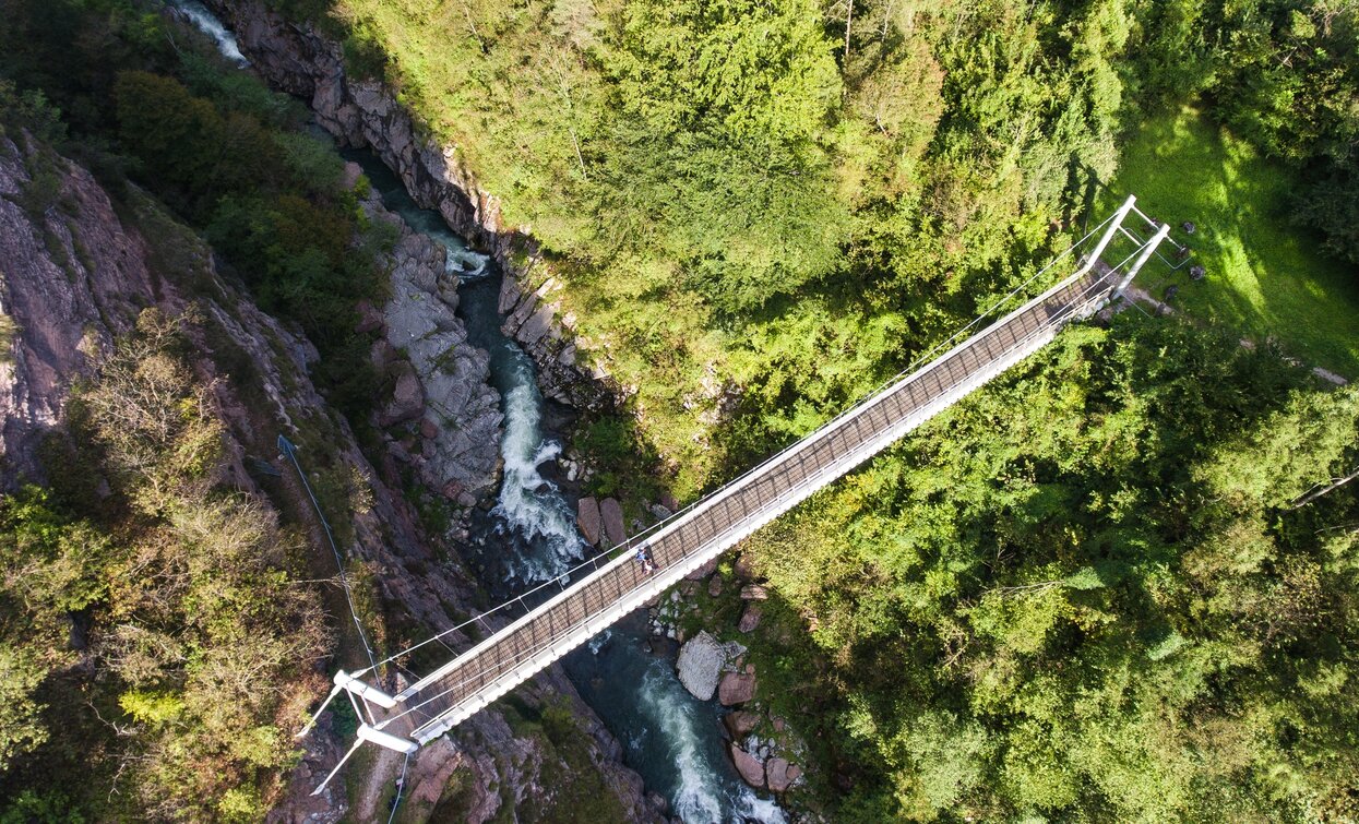
From Giardino Al Sarca take the path on the right towards the spa park. Pass the spa heading towards the small church until you reach the main road that leads to Villa Banale. Pass through Villa Banale and at the end of town continue along the road to the right descending towards the Canyon del Limarò. As you walk down, you can catch a glimpse of the old Balandin bridge, an important historic connection between the two sides of the valley. After passing the bridge, you will find a shaded rest area with tables and benches; beyond this point the road rises to reach the state road for Ponte Arche. After crossing the road, proceed uphill through the woods until to come to the peaceful town of Comano. Walk through the town and after passing the church turn right towards Poia, from here continue for Ponte Arche.
The area around Comano is connected by the intercity bus lines 211 (Riva del Garda - Tenno - Fiavè - Ponte Arche) and 201 (Trento - Ponte Arche - Campiglio – Tione) to the other places in Garda Trentino.
Once in Ponte Arche/Comano Terme continue along the road leading to the thermal park, 50 m away is a car park, the starting point of the walk
Free parking at Ponte Arche / Comano Terme.
You need to wear the right clothing and take the proper gear when you go hiking in the mountains. Even on relatively short easy outings make sure to take all you need so you don't run into trouble if things take an unexpected turn, for example a storm blows up or you have a sudden drop in energy levels.
What should you take when you go on a hike?
Your rucksack (for a day trip a 25/30L capacity should do) should contain:
Make sure you're wearing the right footwear for the trail and season. The going can get rough and rocky underfoot and a pair of hiking boots will protect you from sprains. When wet, a grassy slope, rocky slab or steep trail can be dangerous unless you are wearing the proper footwear.
And finally... don't forget to bring your camera! You'll need it to capture the stunning views you come across all over Garda Trentino. And if you like, you can share your memories with us at #GardaTrentino.
Emergency telephone number 112.

