Directions
The route starts in Arco, or more precisely at the cycle path near the Caneve car park. Following the initial directions, head toward the town centre, where it is fairly easy to find the public gardens in the town centre.
At the far left of the park, take Viale delle Magnolie and then turn right into Via Porta Scaria, which runs uphill skirting the historic centre and the arboretum. At the town gate in Stranfora, turn left and at the following fork keep left again to turn into Via Lomego.
When you come to the paved road, keep to the right and follow directions for Padaro, about a kilometre away. Continue for another 4.5 km on the main road with a constant gradient of close to 10%. Shortly after the panoramic viewing point called Sas della Vecia, you come to Doss del Cléf. Follow directions and take the forest roadl which you find on your left. Pass the barrier and, finally on a dirt track, continue your climb with the classic panoramas for which the Alto Garda area is renowned.
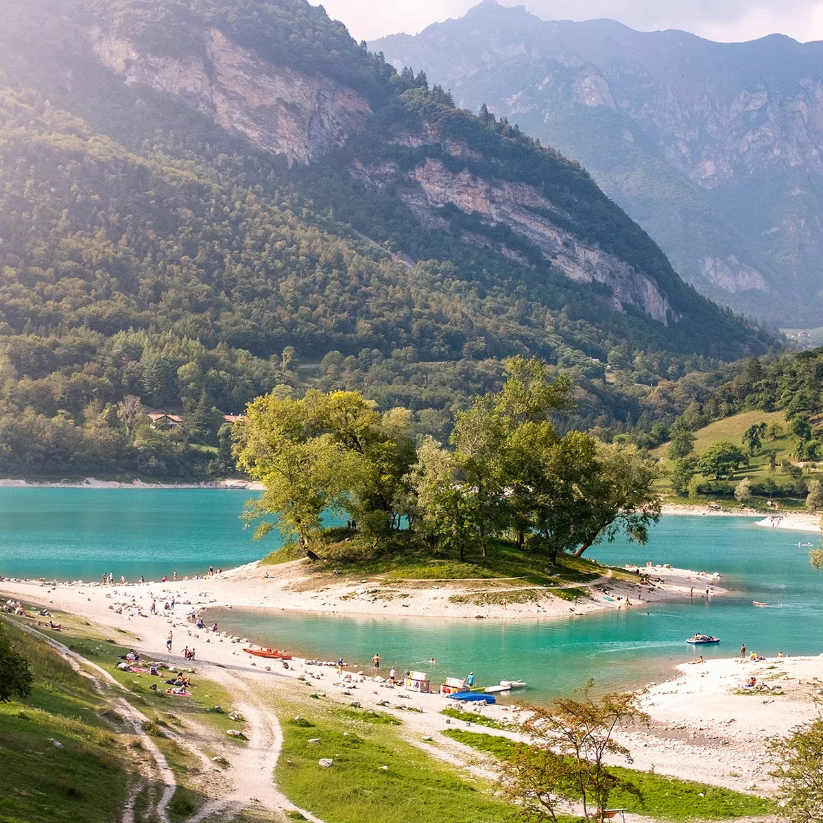
Following the main track, you come to the highest point on this trail at Bocca di Tovo. Here take the trail on your left and you immediately find yourself on the most difficult part. The terrain is initially rocky and loose but then it gets gradually more stable with a series of narrow bends. When you come to the end of the trail, keep going down the well-signposted forest roads, passing through Treni and Ranciom. When you come to the open space at the Calino Cross, a minor detour will take you to one of the most panoramic mountain huts on this side: Rifugio San Pietro, which is clearly signposted from here.
Otherwise, keep following the trail signposting and continue with your descent on the paved road, going down as far as the junction with the road for Tenno. You are now in the vicinity of Ville del Monte. At the stop sign continue to the left until you come to the nearby church where you immediately turn right. The directions for the trail will only be visible when you are in front of the church. Follow the directions, take the dirt road which leads in the direction of Tenno. You will come back onto the main road near the medieval village, then turn left uphill for a short stretch. On the second bend in the road, follow directions and stay on the right and continue on side roads in the direction of Volta di No. Once you get there, follow the directions towards Varignano where the descent comes to an end. All that remains is for you to head back to the nearby centre of Arco where you originally started from.

, Garda Trentino")
, Garda Trentino")
, Garda Trentino")
, Garda Trentino")
, Garda Trentino")
, Garda Trentino")
, Garda Trentino")
, Garda Trentino")
, Garda Trentino")
, Garda Trentino")
, Garda Trentino")
, Garda Trentino")
, Garda Trentino")
, Garda Trentino")
, Garda Trentino")
, Garda Trentino")

, Garda Trentino")
, Garda Trentino")

, Garda Trentino")
, Garda Trentino")
, Garda Trentino")