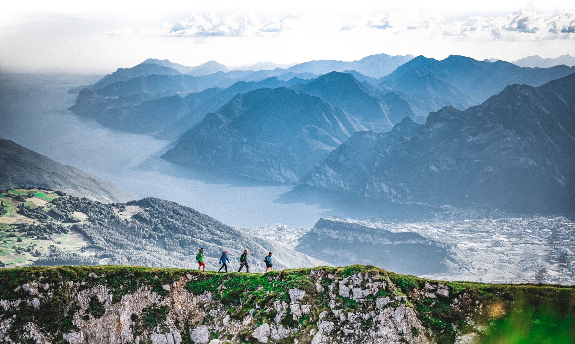
A trail which winds along the Stations of the Cross celebrated in the poetry of R. M. Rilke
An easy trail winding through the olive grove of Arco and, in part, along the ancient Stations of the Cross which leads to Laghel, a little valley not far from Arco.
Laghel is famous for its vanishing lake or “non-existing lake”. When there is heavy rain, a little lake forms in the centre of the valley but then it soaks back into the ground and disappears once more.
The telephone number for the emergency services is 112.
The information on this chart is subject to inevitable variations, so this means that none of the indications are absolute. It is not entirely possible to avoid giving inexact or imprecise information, given how quickly environmental and weather conditions can change. For this reason we decline any responsibility for changes which the user may encounter. In any case, the hiker is advised to check the conditions of the places, environment and weather before setting out.
From the centre of Arco head up in the direction of the Archduke's Park and Laghel. Follow the old Stations of the Cross up a valley with olive trees growing on either side. When you come to the Chapel of Santa Maria di Laghel, keep to the left at the junction and you almost immediately come to another left turn along a paved road which soon becomes a dirt track. You pass beneath a rocky outcrop, and on the right there is the Laghel sinkhole with its temporary lake. Continue along the easy trail with lovely views of the Laghel Valley below and Monte Colodri until you come to a dirt track. Turn right and follow the track as far as Fontane. After the bar blocking the track, take the trail on the right which leads down to the tarmac road which takes you back to Santa Maria di Laghel and the way to Arco.
The main towns in Garda Trentino - Riva del Garda, Arco, Torbole sul Garda, Nago – are connected by several urban and intercity bus lines which will take you to the starting point of tours or in the immediate surroundings.
You can also get to Riva del Garda and Torbole sul Garda by the public ferry service.
Parking in Caneve (5 minutes walk to the town centre).
Paid parking: Foro Boario, near the bridge (Via Caproni Maini) or the post office (Via Monache).
This excursion is quite simple and presents no particular difficulty. However, we still recommend you to wear suitable footwear, a hat, sun screen and sunglasses. And be sure to bring water!

