
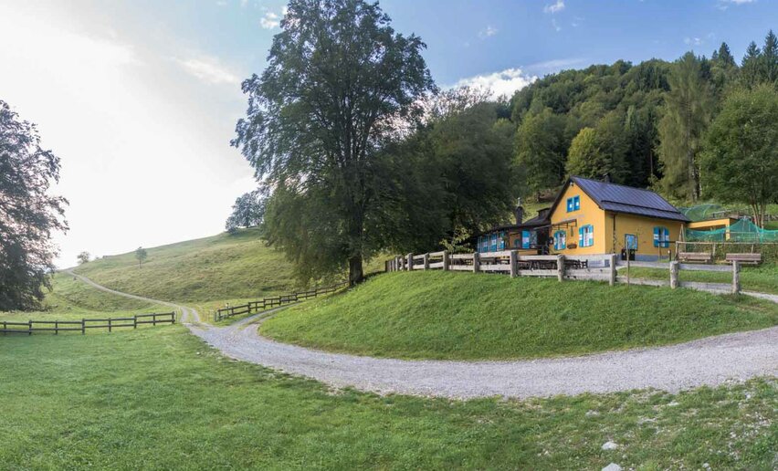
This is without doubt one of the most popular hiking trails in Garda Trentino. Short and not too hard, it leads to one of the busiest mountain huts in the area.
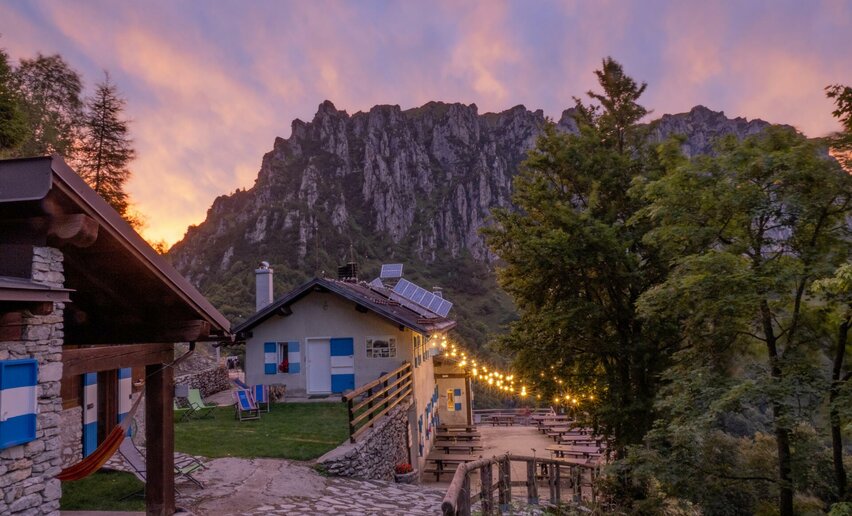
Rifugio Nino Pernici is on the ridge which divides the Garda area from the Valle di Ledro valley and can be reached from either side. It is a popular destination with hikers and bikers drawn by the marvellous views and excellent home cooking: a particular speciality is the potato polenta, a traditional dish in Valle di Ledro.
During the Great War, Bocca di Trat, a strategic mountain pass, found itself in the middle of the Austro-Hungarian defence line which ran from Rocchetta (the mountain which towers above Riva del Garda) as far as Tofino. A little village grew up here composed of barracks and army quarters. It was then that what is now the mountain hut -Rifugio Nino Pernici- was built as an officers' mess.

Rifugio Nino Pernici is open every day from the end of April to mid-October. However it is always advisable to make sure that the hut is open either by checking the website or contacting the manager.
For more information on routes, services (guides, mountain huts, shops etc.) and hiking friendly accommodation: Garda Trentino - +39 0464 554444


, Garda Trentino")

, Garda Trentino")


