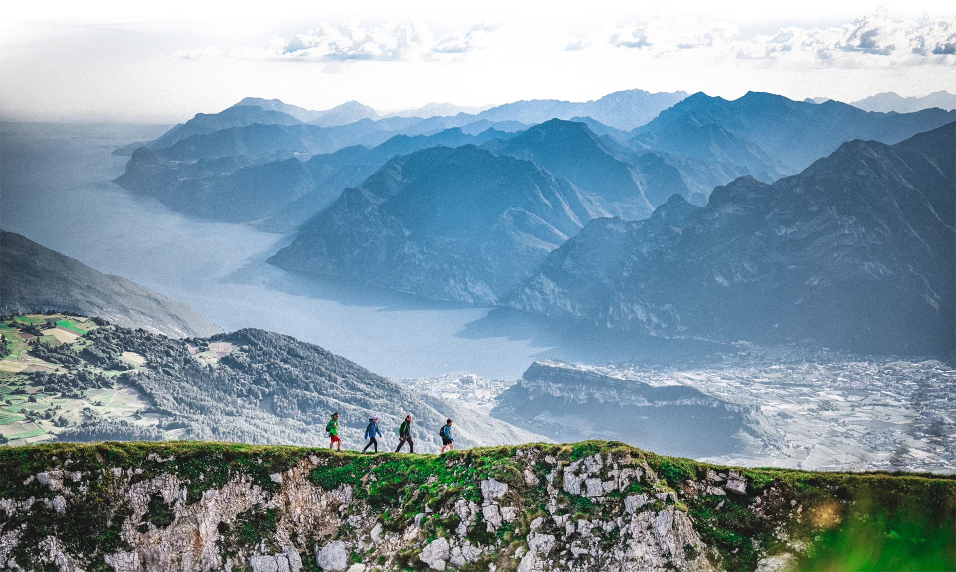
Panoramic walk on mixed terrain between asphalt and rocky slabs, with views of the Val di Gresta, Lake Garda and Vallagarina.
We park the car at Passo Bordala and then set off on a not too demanding walk to Monte Biaena. Initially, the road is asphalted, passing some meadows, and then taking the forest road into the woods along a path. Once you reach some rocky slabs, you can enjoy the panorama of Monte Stivo, Val di Gresta and Lake Garda in the background. Once past the ‘Capanna Monte Biaena’ hut, we reach the meadows at the summit, at an altitude of 1618 m. On reaching the summit, the view opens out over the Vallagarina and its mountains.
For more information on routes, services (guides, mountain huts, shops etc.) and hiking friendly accommodation: Garda Trentino - +39 0464 554444
Trail not recommended on hot days. In spring the meadows are in blossom, among peonies and anemones the view is priceless.
Safety Tips
This information is subject to inevitable variations, so none of these indications are absolute. It is not entirely possible to avoid giving inexact or imprecise information, given how quickly environmental and weather conditions can change. For this reason, we decline any responsibility for changes which the user may encounter. In any case, it is advisable to check environment and weather conditions before setting out.
The first section of the route from Passo Bordala to the summit of Monte Biaena is characterised by a first asphalted and flat section, while the last section consists of a 300-metre difference in altitude over a short two-kilometre stretch. It is possible to return (with the necessary equipment and preparation) from the iron path 673 that descends to Malga Somator, otherwise from the route just taken uphill.
The Gresta Valley area can be reached from the other centres of Garda Trentino by the extra-urban bus line 332 (Rovereto - Mori - Riva del Garda - Arco - Bolognano).
Once you reach the stop in Mori, we suggest you continue with a shuttle that will take you as far as Passo Bordala.
You need to wear the right clothing and take the proper gear when you go hiking in the mountains. Even on relatively short easy outings make sure to take all you need so you don't run into trouble if things take an unexpected turn, for example a storm blows up or you have a sudden drop in energy levels.
What should you take when you go on a hike?
Your rucksack (for a day trip a 25/30L capacity should do) should contain:
Make sure you're wearing the right footwear for the trail and season. The going can get rough and rocky underfoot and a pair of hiking boots will protect you from sprains. When wet, a grassy slope, rocky slab or steep trail can be dangerous unless you are wearing the proper footwear.
And finally... don't forget to bring your camera! You'll need it to capture the stunning views you come across all over Garda Trentino. And if you like, you can share your memories with us at #GardaTrentino.
Emergency telephone number 112.

