
An MTB classic with four different variants.
Signage: 743. Bocca di Tovo Trail - Tour
You can undertake this tour in its original version or in one of four variants, some shorter and some longer, depending on your ability and mood. Start from Arco, taking gravel paths to reach the road towards San Giovanni al Monte, which you follow until you arrive at the summit of Doss del Clef with its unconventional summit cross. There, a forest path branches off and leads to the eponymous Bocca di Tovo, just below 1100 m. A rapid trail descent takes you down steep terrain to Malga Tovo and on to Croce di Bondiga, a vantage point with sensational views out over Lake Garda. The route then undulates and alternates between gravel and tarmac, after which a longer descent takes you down to Lago di Tenno. The turquoise lake invites you to pause before cycling through Tenno and Varignano, back to your starting point.
Variants: 743a. Variante San Giovanni, 743b. Variante Rancion - Trail, 743c. Variante per Elisa - Trail, 743d. Variante Piazzole - Trail.
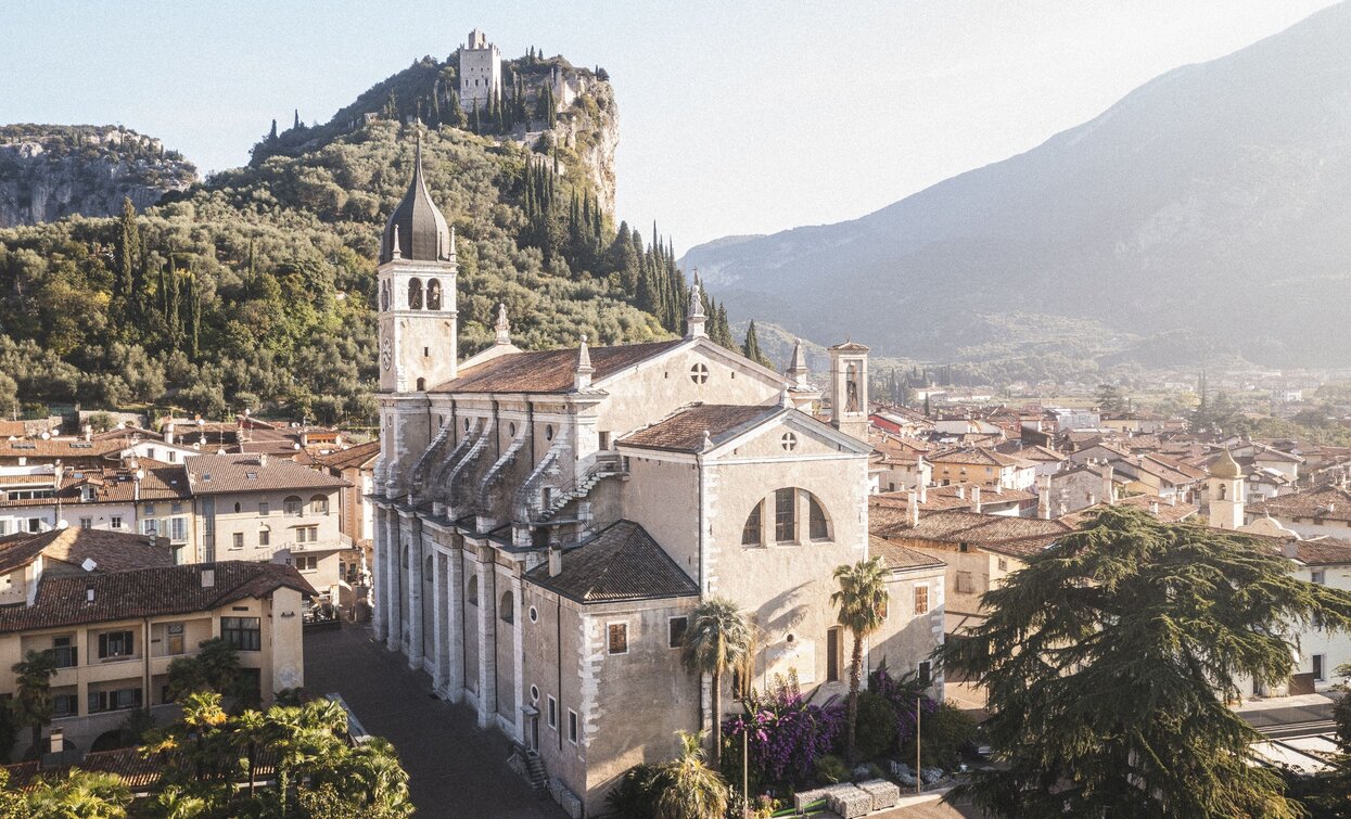
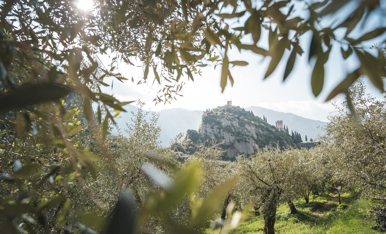
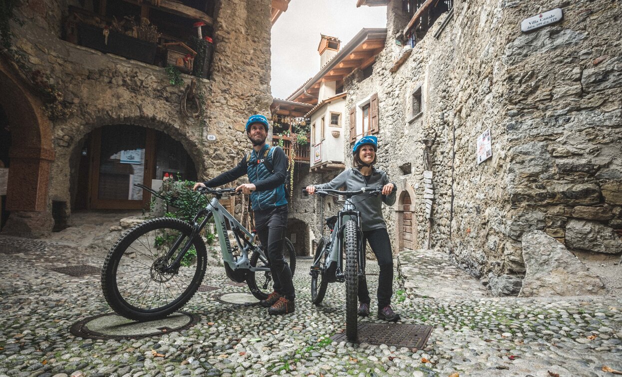
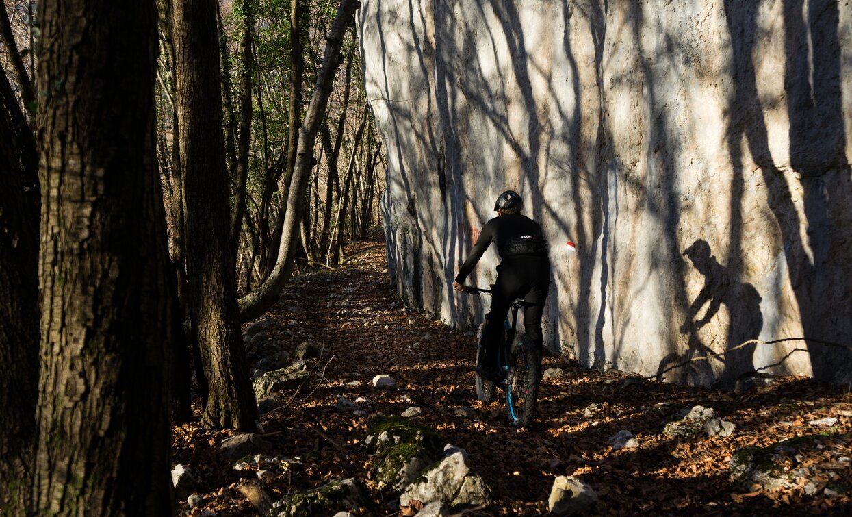

Along the tour there are two spots where you can stop for a bite: Rifugio San Pietro and Malga San Giovanni.
ITRS - International Trail Rating System
The ITRS is an objective way to assess trails and routes from a biker’s perspective, evaluating four aspects:
Discover more about the ITRS system and check the classification of this tour in the photo gallery.
Safety Tips
This information is subject to inevitable variations, so none of these indications are absolute. It is not entirely possible to avoid giving inexact or imprecise information, given how quickly environmental and weather conditions can change. For this reason, we decline any responsibility for changes which the user may encounter. In any case, it is advisable to check environment and weather conditions before setting out.
The route starts in Arco, or more precisely at the cycle path near the Caneve car park. Following the initial directions, head toward the town centre, where it is fairly easy to find the public gardens in the town centre.
At the far left of the park, take Viale delle Magnolie and then turn right into Via Porta Scaria, which runs uphill skirting the historic centre and the arboretum. At the town gate in Stranfora, turn left and at the following fork keep left again to turn into Via Lomego.
When you come to the paved road, keep to the right and follow directions for Padaro, about a kilometre away. Continue for another 4.5 km on the main road with a constant gradient of close to 10%. Shortly after the panoramic viewing point called Sas della Vecia, you come to Doss del Cléf. Follow directions and take the forest roadl which you find on your left. Pass the barrier and, finally on a dirt track, continue your climb with the classic panoramas for which the Alto Garda area is renowned.
Following the main track, you come to the highest point on this trail at Bocca di Tovo. Here take the trail on your left and you immediately find yourself on the most difficult part. The terrain is initially rocky and loose but then it gets gradually more stable with a series of narrow bends. When you come to the end of the trail, keep going down the well-signposted forest roads, passing through Treni and Ranciom. When you come to the open space at the Calino Cross, a minor detour will take you to one of the most panoramic mountain huts on this side: Rifugio San Pietro, which is clearly signposted from here.
Otherwise, keep following the trail signposting and continue with your descent on the paved road, going down as far as the junction with the road for Tenno. You are now in the vicinity of Ville del Monte. At the stop sign continue to the left until you come to the nearby church where you immediately turn right. The directions for the trail will only be visible when you are in front of the church. Follow the directions, take the dirt road which leads in the direction of Tenno. You will come back onto the main road near the medieval village, then turn left uphill for a short stretch. On the second bend in the road, follow directions and stay on the right and continue on side roads in the direction of Volta di No. Once you get there, follow the directions towards Varignano where the descent comes to an end. All that remains is for you to head back to the nearby centre of Arco where you originally started from.
The main towns in Garda Trentino - Riva del Garda, Arco, Torbole sul Garda, Nago – are connected by several urban and intercity bus lines which will take you to the starting point of tours or in the immediate surroundings.
You can also get to Riva del Garda and Torbole sul Garda by the public ferry service.
Up-to-date information on timetables and routes.
Parking in Caneve (5 minutes walk to the town centre).
Paid parking: Foro Boario, near the bridge (Via Caproni Maini) or the post office (Via Monache).
Riding your bike requires specific clothing and equipment, even for relatively short and easy trips. It is always better to be prepared… e.g. for bad weather or a sudden drop in your energy levels. The unexpected things are part of the fun!
Remember to thoroughly evaluate the type of route you plan on doing, the locations you intend to cross and the current season. Has it been raining? Attention: The paths may be slippery and require more caution.
What do I need to bring on my bike tour?
It is always advised to let someone know where you plan to go and how long you expect to be.
Emergency telephone number 112.


