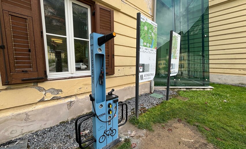
An absolute classic: the region’s first signposted MTB trail.
Signage: 731. Anello Garda Sarca
Although the route never gets particularly high (the top of the tour is just 420 metres), the ascents add up on this almost 70 km long loop. Cycling constantly up and down along different surfaces, you pass by olive groves and vineyards, between apple orchards and along the river Sarca, visiting a variety of different villages as you go. This gives you a real feel for the Garda Trentino region between the northern shore of Lake Garda and the village of Sarche in the Valle del Sarca. If you don’t want to do the whole route, there are shortcuts at Arco and at Pietramurata that cut the distance down to 32.6 and 59.4 km respectively (731a. Shortcut Arco and 731b. Shortcut Pietramurata), both of which still provide an absolutely wonderful day out.
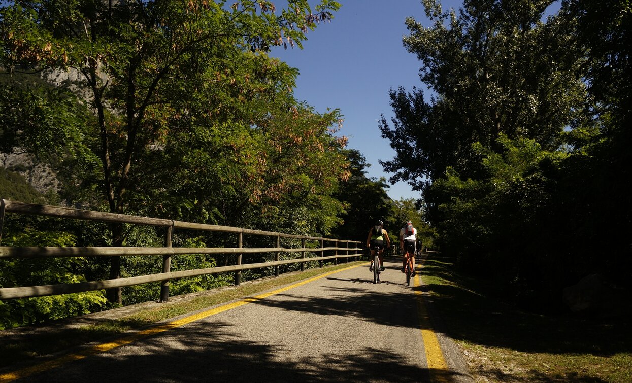
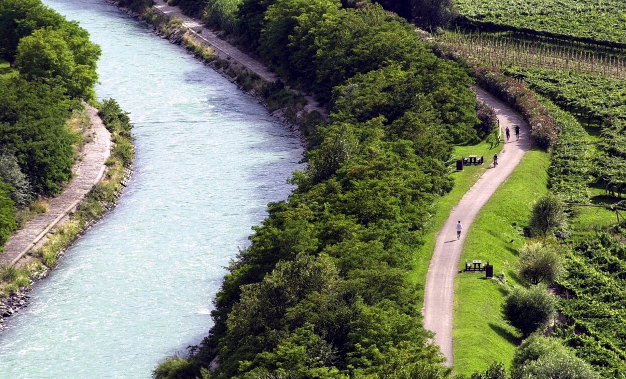
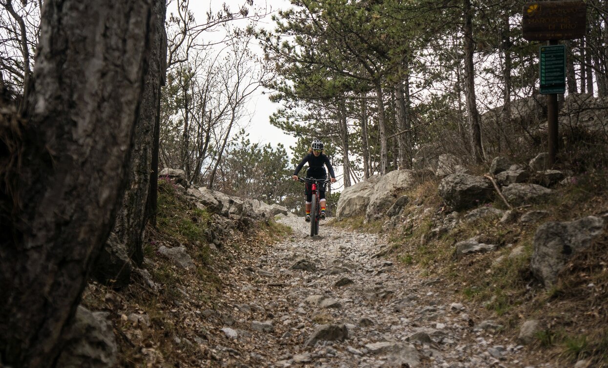

In a single itinerary, you can enjoy the great variety of landscapes and trails that Garda Trentino has to offer! From the shores of the famous Lake Garda to the hidden gems of the surrounding areas.
ITRS - International Trail Rating System
The ITRS is an objective way to assess trails and routes from a biker’s perspective, evaluating four aspects:
Discover more about the ITRS system and check the classification of this tour in the photo gallery.
Safety Tips
This information is subject to inevitable variations, so none of these indications are absolute. It is not entirely possible to avoid giving inexact or imprecise information, given how quickly environmental and weather conditions can change. For this reason, we decline any responsibility for changes which the user may encounter. In any case, it is advisable to check environment and weather conditions before setting out.
The starting point is Piazza Santa Maria al Lago along the lakeshore in Torbole. The route, passing all the popular nearby tourist areas can actually be picked up at any of these points.
From here, follow the cycle-pedestrian path that runs along the lake towards Riva del Garda. Just before reaching the centre of the town there is the mouth of a stream, follow it round to the right, heading north toward Varone.
Cross the main road - Viale Rovereto and continue to follow the cycle path / stream up to Varone. Here, at the traffic controlled crossroads turn left, then take an immediate right - you should go past an old church on your left. The next turn will be near to a fountain, where begins a beautiful climb amongst the olive trees towards Deva. Eventually you will meet a minor provincial road at a hairpin bend, continuing to climb, cross the hairpin and then turn immediately right. After a short stretch of gravel track, you will meet and continue on to the main road - SP37 where you climb for 1km.
Keep right and take the short cement ramp up on to Via Molini, which leads to Tenno Castle, on the opposite side of the narrow valley. At the red stop road sign, close to the castle ruins - keep right and after a few dozen meters, cross the main road to take a slightly uphill road on the left. Follow the signs along the gravel road Strada del Pil. Once in Volta di No, you will find a paved road, and following the signs continue on to descend into Varignano. Here there is another short stretch of gravel, then a series of steep cement bends between the olive trees. At the end of the descent, near a village, turn left towards Padaro. After about 700 meters of climbing follow the signs, turning right through the gravel roads of the olive groves towards Arco. From here you can shorten the tour by going through the town centre to reach San Martino (731a. Shortcurt Arco).
Once in the centre of Arco, at the foot of the castle, continue to climb, keeping to the left, in the direction of Laghel. The gradient gradually increases until you reach the small church of Santa Maria di Laghel. Continue straight here, for about 1.5 km, then turn right, taking you down to the bottom of the valley. Along this stretch of descent, there are steep, alternating sections of concrete and gravel. At the junction near Maso Lizzone, turn left, continuing to climb the valley through the beautiful countryside. Nearing the centre of Dro, you will again find smooth asphalt roads. Following the signs - your next destination is an easy forest road, at the foot of Monte Brento, in the direction of Pietramurata.
On the last part of this segment, the short uphill section is rather bumpy and with a slightly exposed section at the summit. Once near a motocross park, you will find a small asphalt road that then joins the SS45bis main road, follow this heading north. It is advisable to remain on the pavement that runs alongside it however. After about 300 meters, near the centre of the village, take the secondary road on your right. From Borgo Nuovo zou can shorten the tour to go directly to Pietramurata (731b. Shortcut Pietramurata).
In a short while you reach the provincial road, which you have to cross, and after 300m you have to do the same with the main road. On the opposite side, take the Massampiano forest road and at the first fork turn right to continue northwards towards the start of the Via Ferrata Ernesto Che Guevara. At the fork turn right and continue until you reach asphalt again. At the roundabout follow the main road north and before the bridge turn left through the vineyards along the river Sarca. At the next bridge cross the river near the village of Sarche and then turn southwards onto the cycle path which runs along the river to Pietramurata. Cycle past the church and follow the main road for a couple hundred metres, before turning right through the fields and vineyards, then follow the cycle path in the direction of Dro.
Once in the Monte Taglio area, the directions of the route lead off the cycle path, following instead the path to the left. The initial stretch is full of ups and downs through the undergrowth, with sections of quite pronounced rocks, but stable rocks. With Lago di Cavedine in your sights, the descent to water level begins. Pass an old electric plant building and follow the gravel road until you meet the main road to the lake. Keep left, then immediately turn right where you will resume climbing through the Trebi area. Cycling through the vineyards makes for a splendid experience, especially in spring and autumn. From here you can admire Lake Cavedine and the mountains Brento and Casale. Paganella is on the left, in the background, with the slopes of Monte Bondone on the right.
After some more climbing on asphalt, you will reach the pylons of the electric line. Here you must turn right, ready to face the most challenging descent of the whole route. Once you get to the main road for Drena, cross it and continue your descent using the path on the other side. The gradients are not too steep here, but the terrain is rather unstable. Meeting the main road again, follow it in a southerly direction for just over 600 meters, then turn left, continuing off road, in the direction of Arco. When you reach the main road junction at Moletta, continue south, remaining for a short time on the pavement on the left side of the road. At the next turning, keep left, continuing to follow the directions of the route. Using the safer internal roads, you will go through the small towns of San Martino, Massone and Bolognano.
Once in Vignole, you will meet a main road at a traffic light. Cross it, and take the secondary road on the other side. At the fork, keep right and follow the signs which will guide you through the area of Prato Saiano - to Nago, for the last climb of the day. Pay particular attention when crossing the main road at the Sesto Grado bar, it’s on a hairpin bend! After completing the last cement section, near to a busy roundabout, continue on your right to Via Scipio Sighele, heading toward the characteristic centre of Nago.
At the end of the town, there is a slight climb in the direction of Monte Baldo... Nearly there! One last descent on concrete, and you will re-emerge on to Lake Garda where you can quickly reach the Busatte Park. From here, well guided by the signs, you immediately descend towards the centre of Torbole. Once in Piazza Goethe, keep right a few dozen meters on the Strada Statale Lungolago - main road along the lake. Turn left onto Via Benaco to return to the starting point.
The main towns in Garda Trentino - Riva del Garda, Arco, Torbole sul Garda, Nago – are connected by several urban and intercity bus lines which will take you to the starting point of tours or in the immediate surroundings.
You can also get to Riva del Garda and Torbole sul Garda by the public ferry service.
Parking in the locality Busatte.
Paid parking: Panorama, Via Strada Granda, Lungolago Conca d'Oro.
Riding your bike requires specific clothing and equipment, even for relatively short and easy trips. It is always better to be prepared… e.g. for bad weather or a sudden drop in your energy levels. The unexpected things are part of the fun!
Remember to thoroughly evaluate the type of route you plan on doing, the locations you intend to cross and the current season. Has it been raining? Attention: The paths may be slippery and require more caution.
What do I need to bring on my bike tour?
It is always advised to let someone know where you plan to go and how long you expect to be.
Emergency telephone number 112.

