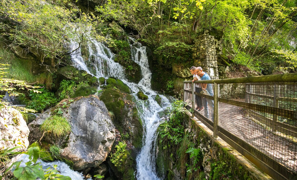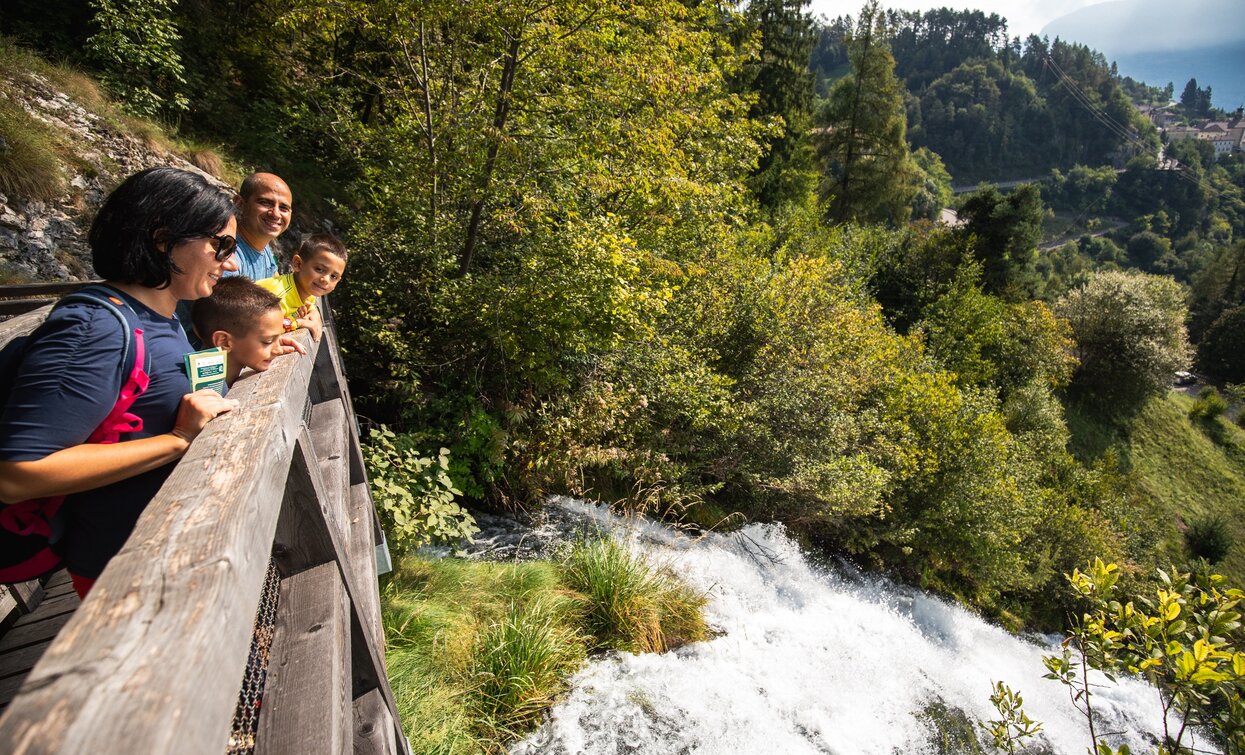
Along this captivating itinerary, you will come to appreciate two important aspects of the Parco Naturale Adamello-Brenta: its water and flora. The water element, prime resource for the ecosystem and for mankind, shapes and carves the landscape and is an integral part of this excursion which reaches the heart of the roaring Rio Bianco waterfalls.
Itinerary: Stenico, Rio Bianco Waterfalls, Botanical Garden, Stenico.


Rio Bianco Waterfall, a spring water surging from the mountains of Parco Naturale Adamello Brenta.
The telephone number for the emergency services is 112.
The information on this chart is subject to inevitable variations, so this means that none of the indications are absolute. It is not entirely possible to avoid giving inexact or imprecise information, given how quickly environmental and weather conditions can change. For this reason we decline any responsibility for changes which the user may encounter. In any case, the hiker is advised to check the conditions of the places, environment and weather before setting out.
Along this captivating itinerary, you will come to appreciate two important aspects of the Parco Naturale Adamello-Brenta: its water and flora. The water element, prime resource for the ecosystem and for mankind, shapes and carves the landscape and is an integral part of this excursion which reaches the heart of the roaring Rio Bianco waterfalls.
From the main square in Stenico, start walking to the right towards the Information Office of Parco Naturale Adamello Brenta, which is also a gateway to the Botanical Garden and the waterfall. Walk up a dirt track heading towards the waterfall and then join a crossing path, carved into the rock wall, leading to Casa della Flora, where exhibitions and information about the area are on display. Continue ahead to enter the Botanical Garden which offers a wealth of information, displayed on panels, and fun interactive activities. From here, descend to join the road leading back to the square. Those wishing to continue the itinerary can join the Bosco Arte Stenico trail to admire artistic installations made only with natural material sourced from the surrounding woods.
The area around Comano is connected by the intercity bus lines 211 (Riva del Garda - Tenno - Fiavè - Ponte Arche) and 201 (Trento - Ponte Arche - Campiglio – Tione) to the other places in Garda Trentino. Link between Ponte Arche and Stenico via the 208 bus line.
From Ponte Arche/Comano Terme go in the direction of Stenico (3,5 km).
Parking outside the village of Stenico, near the Rio Bianco waterfall, or at the entrance to BoscoArteStenico.
This excursion is quite simple and presents no particular difficulty. However, we still recommend you to wear suitable footwear, a hat, sun screen and sunglasses. And be sure to bring water!

