If you do not want to cover the entire route of the 731. Garda Sarca Ring, a shortcut is possible at Pietramurata.
Signage: 731b. Pietramurata Shortcut.
The distance is reduced to 59.4 km and the beauty of the route is not affected at all.
Further information and useful links
You have already chosen the route, now also choose the experts who can give you the right support. To make the most of every route rely on the MTB specialists: local guides, rentals, shuttles and workshops ready to help you - even with a bike, if needed.
details
Linear route
Refreshment stops available
Family-friendly
Route info
Easy
Route number
Distance
0,3 km
Duration
05 min
Altitude difference (+)
3 m
Altitude difference (-)
4 m
Physical effort
Scenary
Highest point
249 m
Lowest point
245 m
Suggestions
Pietramurata is located along the banks of the Sarca river, which flows down from the Brenta Dolomites and empties into Lake Garda.
Safety guidelines
ITRS - International Trail Rating System
The ITRS is an objective methodology to classify routes and trails from the biker's point of view considering four aspects:
Technical difficulty: required skill level
Shape: combined effect of length, ascent, and descent
Wilderness factor: planning required considering phone reception, rescue options, water availability, and wildlife
Exposure: consequences of a possible fall
Learn more about the ITRS system and check the classification of this itinerary in the photo gallery.
Safety Tips
Always wear a helmet.
Plan your outing.
Paths are shared with other users. Always give way to hikers on foot.
Control your speed according to your experience.
Travel slowly on crowded trails, overtake politely and with respect.
Never leave marked routes, do not take closed trails.
Avoid trails in muddy conditions to prevent further damage.
Respect public and private property.
Always be self-sufficient.
Do not travel alone in isolated areas.
Information contained in this sheet is subject to inevitable changes, so no indication has absolute value. It is impossible to completely avoid inaccuracies or imprecisions due to the rapid changes in environmental or weather conditions that may occur. In this sense, we disclaim any responsibility for any changes experienced by the user. It is recommended, however, to verify, before undertaking an excursion, the status of the places and environmental or weather conditions.
Punto di partenza
Borgo Nuovo
Directions
From the village of Borgo Nuovo we cross the bridge over the Sarca river and reach Pietramurata, where we find the Garda Sarca Ring again.
public transportation
The main centers of Garda Trentino - Riva del Garda, Arco, Torbole sul Garda, Nago - are connected by various urban and extra-urban bus lines, allowing access to the routes.
Riva del Garda and Torbole sul Garda can also be reached by public navigation service.
Rides on your bike require specific clothing and equipment. Even for relatively short and easy outings, it is always better to be well equipped to avoid unpleasant surprises and to deal with unforeseen events such as a sudden storm or a drop in energy: even the unexpected is part of the fun!
Also remember to carefully assess the type of route you are tackling, the locations you plan to cross, and the current season. Has it rained? Caution! Trails will be more slippery and therefore you need to be more careful.
What to bring with you on a bike ride?
adequate water supply according to your needs (consider temperature, refill possibilities, duration of the route)
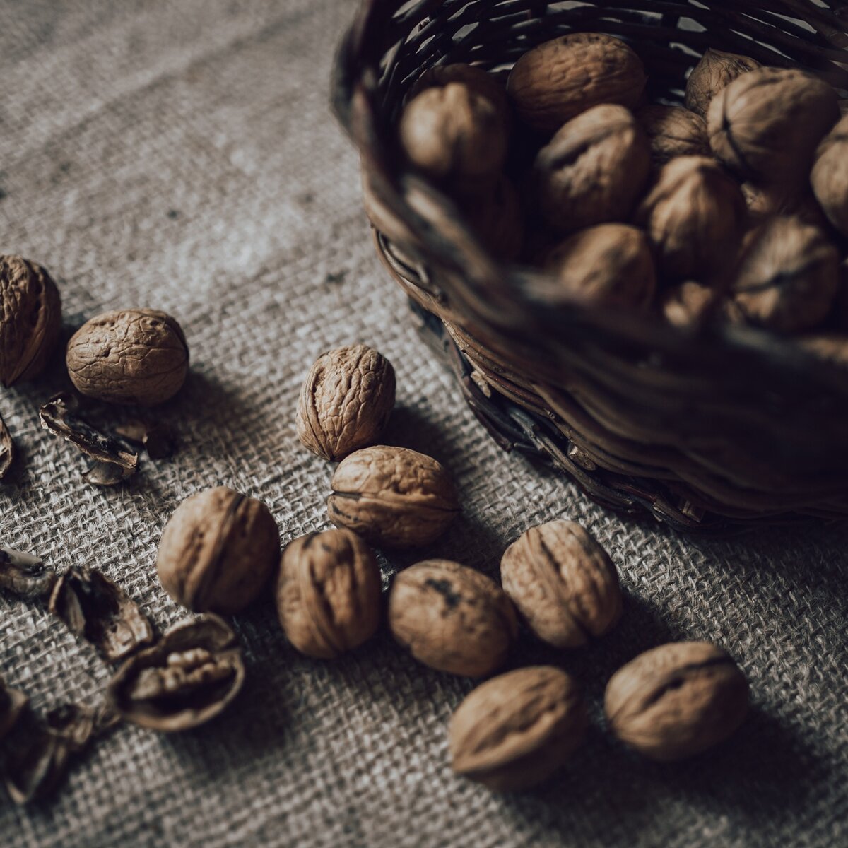
snacks (e.g., dried fruit or bars)
windproof and rainproof jacket
spare shirt and socks
sunscreen
sunglasses
bike gloves
map or GPS device
torch, preferably helmet- or handlebar-mounted (an unexpected event or mechanical failure can prolong the time of the ride)
first aid kit
bike repair kit to fix mechanical issues
whistle for signaling
Always let someone know where you are headed and how long you expect your ride to take.

, Garda Trentino")
, Garda Trentino")
, Garda Trentino")
, North Lake Garda Trentino")
, Garda Trentino")
, North Lake Garda Trentino")