aria.quick_link.navi aria.quick_link.skiptomaincontent aria.quick_link.footer
Garda Trentino Logo
Top

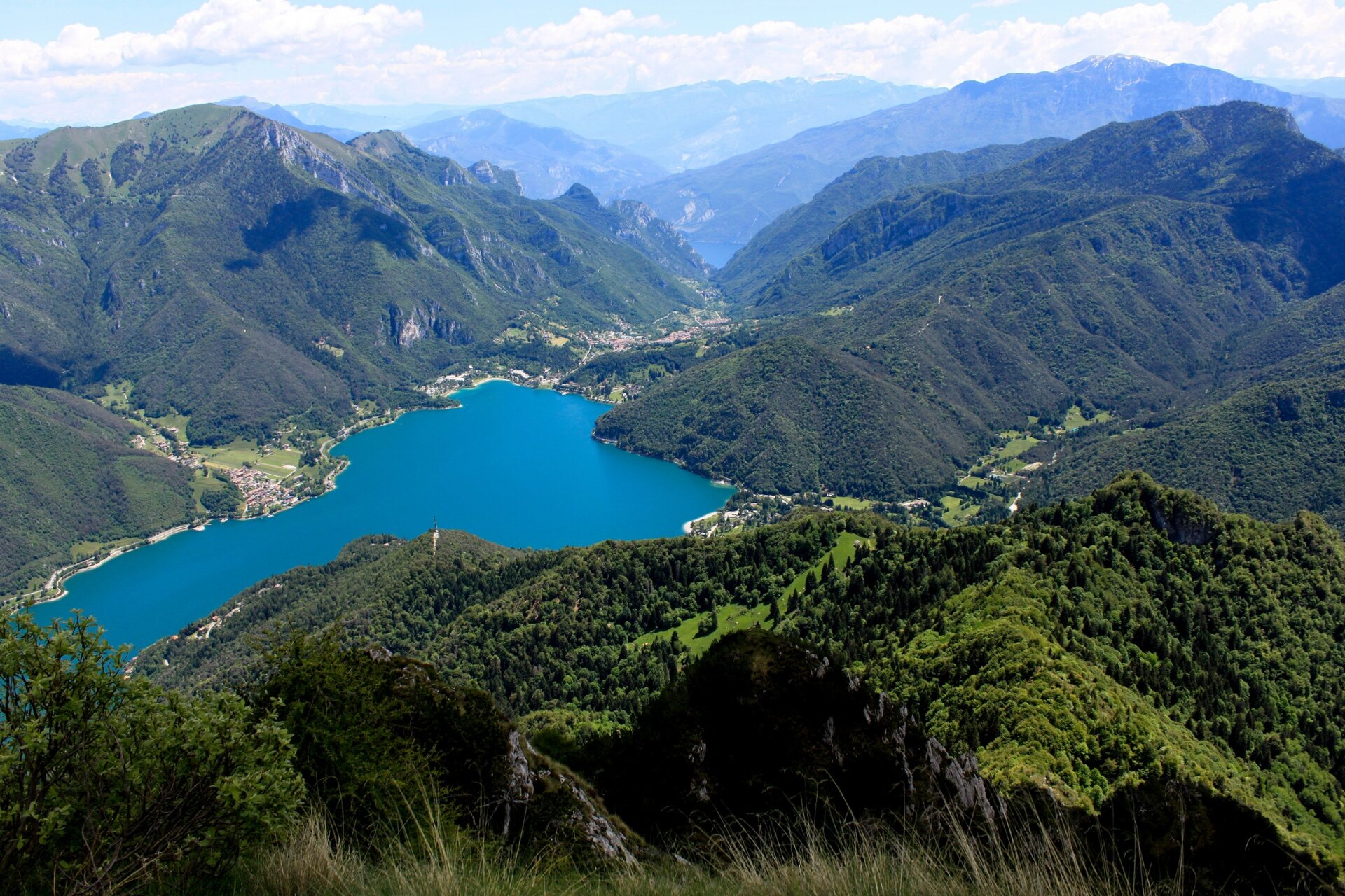
Monte Corno: the balcony above Lake Ledro

Ledro

Category
Difficulty
Intermediate
Duration
6:30
Duration in hours
Distance
14.3
Distance in km
Status
open
WSEN
Suggested period
Jan
Feb
Mar
Apr
May
Jun
Jul
Aug
Sep
Oct
Nov
Dec

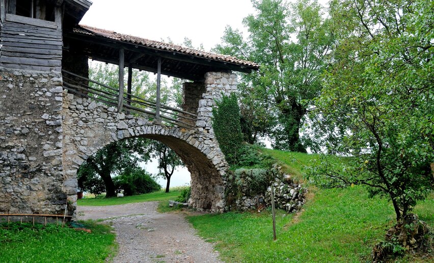
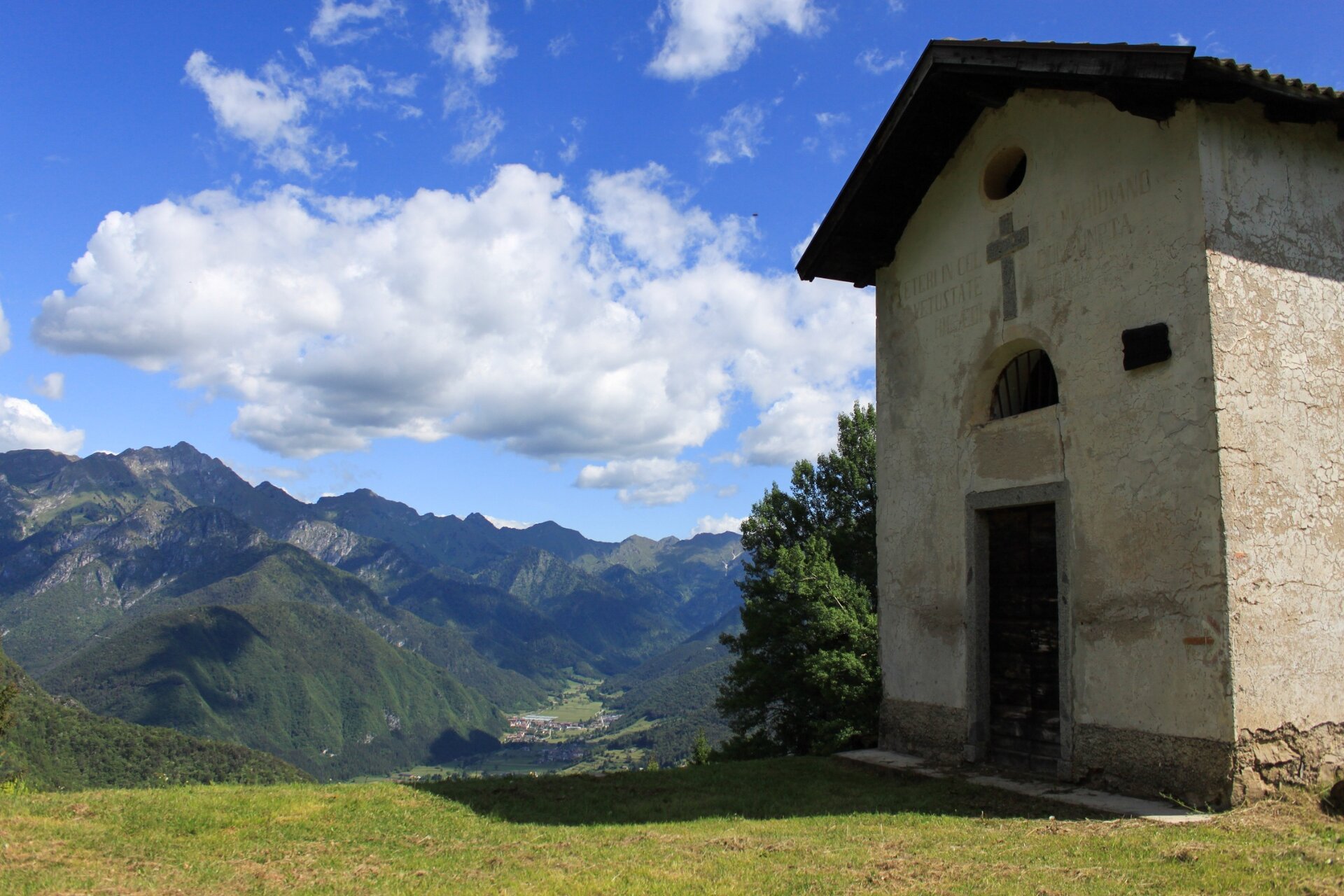
From lake to mountain passing by the little church of San Martino, once a hermitage.

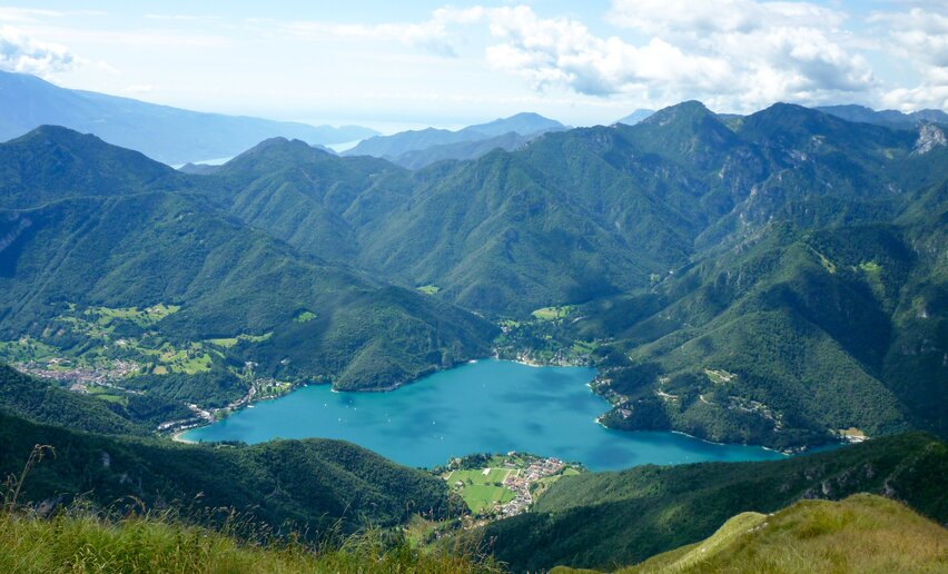
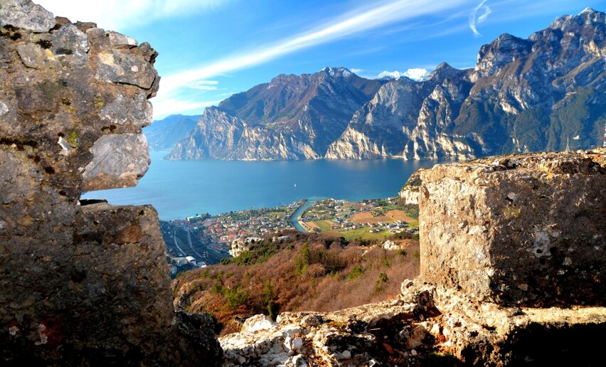
Monte Corno offers an all-round view over Lake Ledro and the surrounding mountains.
Further information and useful links

For more information on routes, services (guides, mountain huts, shops etc.) and hiking friendly accommodation: Garda Trentino - +39 0464 554444

details
  • Scenic
  • Out and back
Route info
Intermediate
Route number
Distance
14,3 km
Duration
6 h 30 min
Altitude difference (+)
1.051 m
Altitude difference (-)
1.051 m
Physical effort
Scenary
Highest point
1.683 m
Lowest point
656 m
You might be interested in
Discover related tours

World War I Trenches at Dromaé | © Archivio Garda Trentino (ph. Alice Russolo), Garda Trentino

Intermediate
Ledro, Riva del Garda
Sentiero della Pace 9: Rifugio Pernici to Riva del Garda
Distance 18,3 km
Duration 5 h 50 min
Altitude difference (+) 192 m
Altitude difference (-) 1.720 m
Status
open
Walking, what a passion | © Fototeca Trentino Sviluppo foto di A. Russolo, Garda Trentino
Intermediate
Valle dei Laghi, Comano
Passo della Morte: a path through nature and legend
Distance 7,7 km
Duration 3 h 30 min
Altitude difference (+) 299 m
Altitude difference (-) 547 m
Status
open
View from Segrom | © Archivio APT Garda Trentino, North Lake Garda Trentino
Intermediate
Torbole sul Garda - Nago
The Great War: along the Segrom ridge to Malga Zures
Distance 5,1 km
Duration 2 h 30 min
Altitude difference (+) 451 m
Altitude difference (-) 451 m
Status
open
Meadows of Ca' de Mez | © Archivio Garda Trentino, Garda Trentino
Intermediate
Ledro
Malga Giù - San Martino
Distance 13,3 km
Duration 5 h 00 min
Altitude difference (+) 700 m
Altitude difference (-) 700 m
Status
open
Stabio hut | © APT Terme di Comano Dolomiti di Brenta, Garda Trentino
Intermediate
Comano
Malga Stabio e Cima Sèra
Distance 12,0 km
Duration 5 h 00 min
Altitude difference (+) 920 m
Altitude difference (-) 920 m
Status
open
The village Campi | © Archivio Garda Trentino, Garda Trentino
Difficult
Riva del Garda
The Old Pinza Road
Distance 10,5 km
Duration 4 h 32 min
Altitude difference (+) 8 m
Altitude difference (-) 1.512 m
Status
open