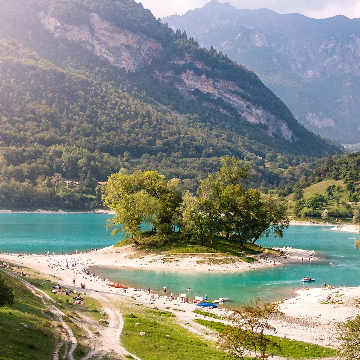
Along the Mori - Riva del Garda state road (which runs parallel with an interesting cycling path), in the vicinity of Loppio take the Valle di Gresta provincial road no. 88, then at Ronzo Chienis the provincial road no. 48 for Passo Santa Barbara. It’s a long climb in which the first few kilometres present a regular gradient, before becoming really tough in the last stretch just before Santa Barbara.
Garda Trentino
details
Linear route
Refreshment stops available
Route info
Difficult
Route number
Distance
12,8 km
Duration
2 h
16 min
Altitude difference (+)
923 m
Altitude difference (-)
81 m
Technical skills
Highest point
1.174 m
Lowest point
229 m
Safety guidelines
Please note that the practicability of the itineraries in a mountain environment is strictly linked to the contingent conditions and is therefore influenced by natural phenomena, environmental changes and weather conditions. For this reason, the information contained in this page may have changed. Before leaving for a tour, make sure the path you will approach is still accessible by contacting the owner of the mountain hut, the alpine guides or the visitor centres of the nature parks, the info offices of the local tourist board.
Punto di partenza
Bivio località Loppio
Directions
The Valle di Gresta has become famous in recent decades thanks to the “biological philosophy” of local farmers: cabbage, lettuce, potatoes, carrots and other vegetables are carefully cultivated using only natural methods. Every Autumn there is a special market- fair where it is possible to stock up on natural, organic produce.