From epic climbs to fast descents, every detail matters. Ride worry-free with help from our road cycling specialists: rentals, mechanics and guides who speak your language – the language of smooth tarmac and two wheels.
details
Scenic
Geological highlights
Out and back
Refreshment stops available
Cultural/historical interest
Flora
Route info
Intermediate
Route number
Distance
29,4 km
Duration
2 h
00 min
Altitude difference (+)
780 m
Altitude difference (-)
780 m
Technical skills
Physical effort
Scenary
Highest point
680 m
Lowest point
226 m
Suggestions
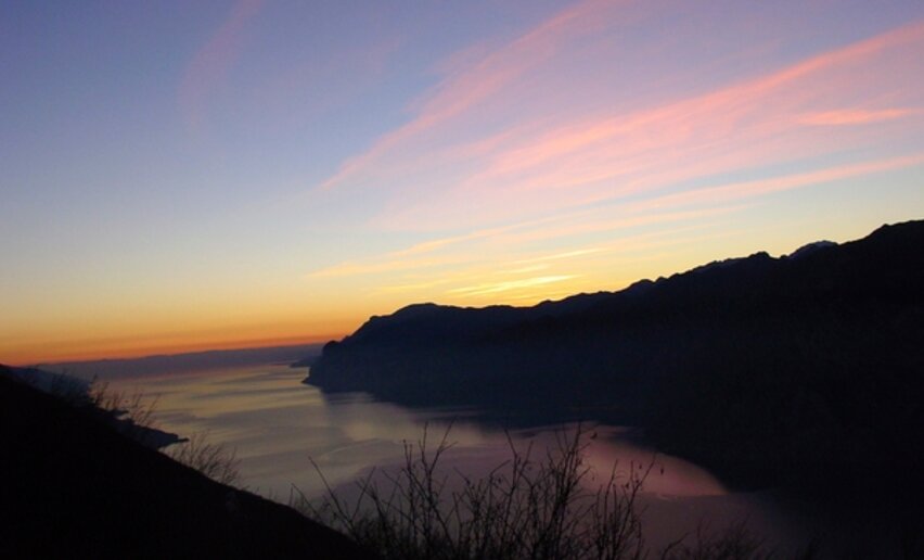
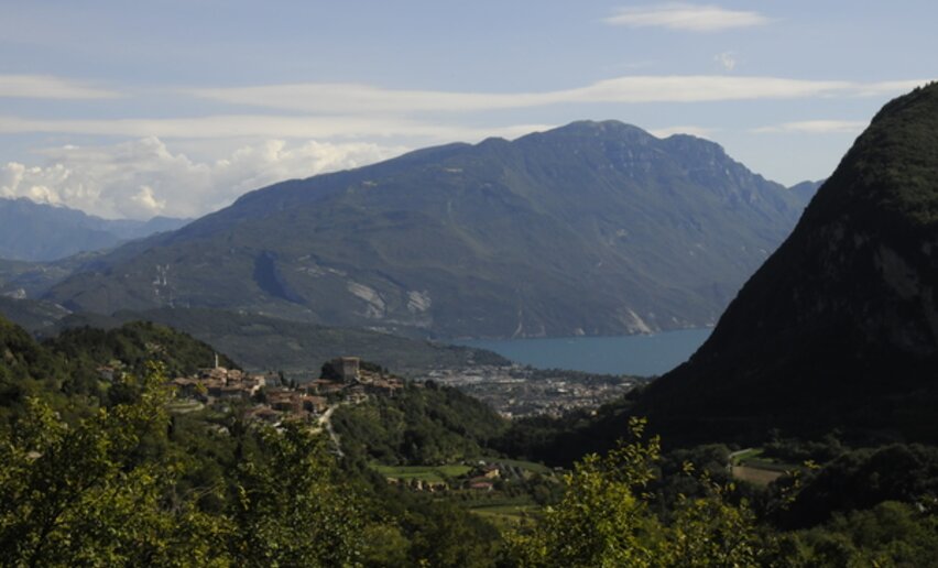
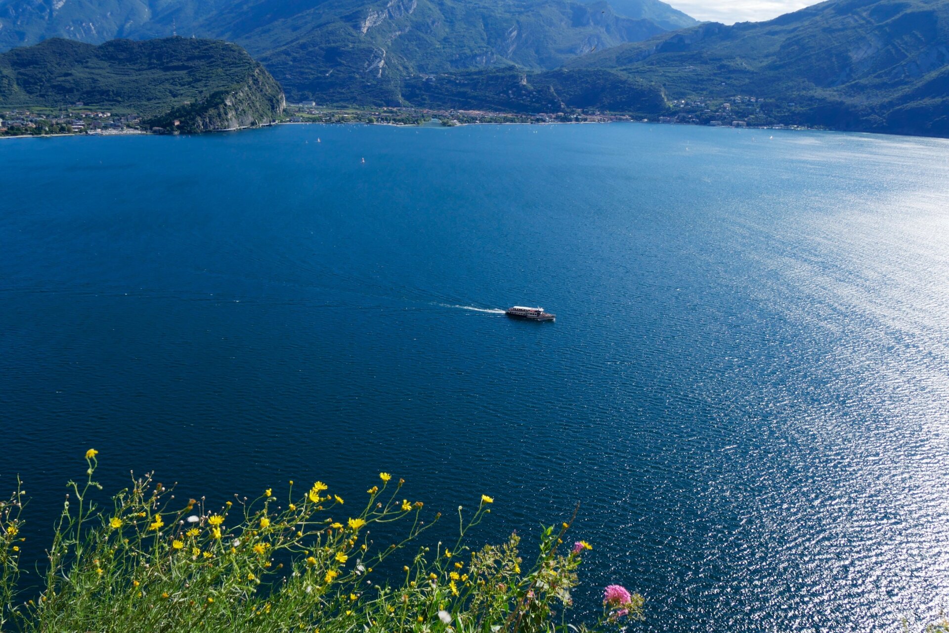
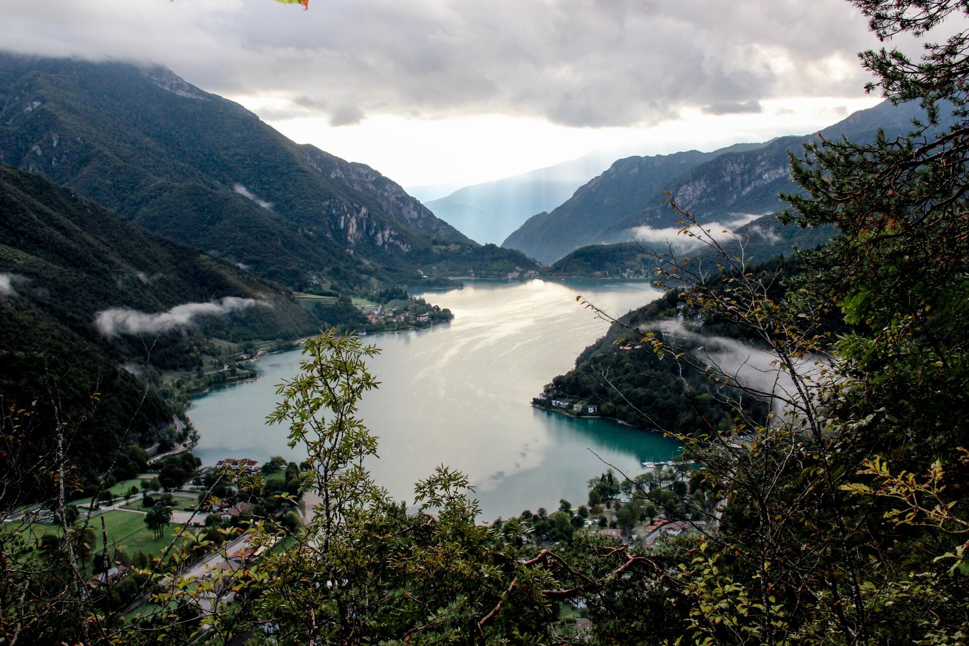
The Regina Mundi (i.e. Queen of the World), a Madonna located on the road to Pregasina, is a beautiful viewpoint overlooking Lake Garda.
Safety guidelines
Give your bike a regular checkup, especially if you've had it for years.
Be seen: you must wear a high vis jacket (or sash) in tunnels and on country roads after sunset.
Always wear your helmet.
Make sure your front and rear lights are working.
Put out your arm to give advance warning of your intention to change position and before you do anything, check there are no vehicles coming up behind you.
Don't use headphones or your mobile phone handsfree kit: you need all your concentration on the road!
Obey the road signs: stop at traffic lights and don't ride on the wrong side of the road.
If you are cycling in a group, always go in single file.
You've got a bell: use it to let pedestrians know you're there. Don't ride on footpaths. If you have to then get off and push your bike.
If there are cycle paths use them. It's your safety that's at stake and the rules of the road say you must.
Punto di partenza
Pieve di Ledro
Directions
From Pieve pedal along Via Cassoni and Via Vittoria, turn into the main road and follow it to Barcesino. Turn right into a side road and cross the village of Prè. Get back to the main road. After the village of Biacesa turn into the Ponale road via a tunnel (to the right of the main tunnel leading to Riva). Pedal along the Ponale road until reaching a fork. Turn right onto an uphill road towards Pregasina.
public transportation
The main towns in Garda Trentino - Riva del Garda, Arco, Torbole sul Garda, Nago, Ledro and Comano – are connected by several urban and intercity bus lines which will take you to the starting point of tours or in the immediate surroundings.
You can also get to Riva del Garda and Torbole sul Garda by the public ferry service.
Riding your bike requires specific clothing and equipment, even for relatively short and easy trips. It is always better to be prepared… e.g. for bad weather or a drop your energy levels. The unexpected things also make up a part of the fun!
Do not compare a road bike with a mountain bike. They are very different, especially in technical terms, and facing a hill with a road bike could be much more difficult than facing the same hill with a MTB. Therefore, remember to throughly evaluate the type of route you plan to do and the locations you plan to cross. Do not forget to consider the current season. Has it been raining? Attention: the paint of the crosswalk could be very slick.
What do I need to bring on my bike tour?
Bike helmet
Bike gloves
Bike glasses
Waterproof/Windproof jacket
Headlights and rearlights
Reflecting suspenders
Plenty of snacks (for example, dried fruit or energy bars)
Water Bottle
Bike repair kit (tire levers, mini bike pump, bike tube)
It is always advised to let someone know where you plan to go and how long you expect to be.
Emergency telephone number 112.
You might be interested in
Discover related tours
Intermediate
Ledro
Ledro Valley Tour
Distance
42,4 km
Duration
3 h
30 min
Altitude difference (+)
1.191 m
Altitude difference (-)
1.204 m
Status
open
Difficult
Torbole sul Garda - Nago, Surroundings, Val di Gresta & Mori


 Offers