
A long, downhill hike towards the Sarca Valley from the thick woods of Monte Calino to the orchards surrounding Ceniga, just beside the shore of river Sarca.
This stage is a constant downhill hike towards the Sarca Valley, with just one short uphill stretch up to Monte Biaina before you get back down to the valley bottom. You are always walking through the woods but, from time to time, the branches thin out and give you a view of the lower Sarca Valley and Lake Garda.
The trail passes Croce di Bondiga, a panoramic viewing point and stop-off point for hikers and also for the many bikers who ride the trails of Garda Trentino: Here you have spectacular views over all of the upper end of Lake Garda.
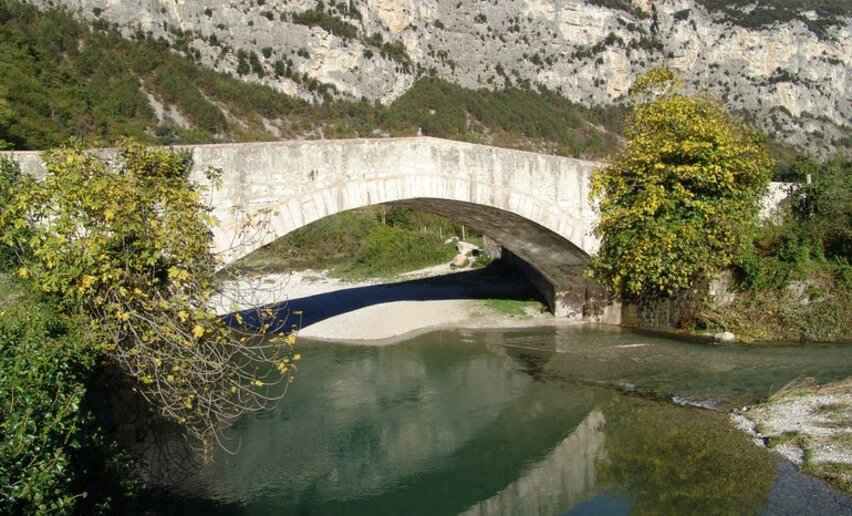
Shortly before you get to Ceniga, the Medium Loop crosses the area of Laghel, a sheltered valley which is renowned in the area for its vanishing lake (or “non-existing lake”). When there is heavy rain, a lake is formed which is then reabsorbed by the ground and goes to feed a spring beneath.
, North Lake Garda Trentino")

, North Lake Garda Trentino")

This trek can normally be done all year round, but in the winter months you might come across some snow on the way. For this reason you should check the conditions of the trail if you are thinking of doing it from November to March. In this period it's advisable to check in advance the opening of mountain huts and accommodation along the route, as they might be closed.
For more information on routes, services (guides, mountain huts, shops etc.) and hiking friendly accommodation: Garda Trentino - +39 0464 554444
 vouchers


, North Lake Garda Trentino")
, Garda Trentino")
, Garda Trentino")


