aria.quick_link.navi aria.quick_link.skiptomaincontent aria.quick_link.footer
Garda Trentino Logo
Top

A hike around Monte Calino, the mountain of Tenno

Tenno

Category
Difficulty
Intermediate
Duration
4:52
Duration in hours
Distance
11.1
Distance in km
Status
open
Suggested period
Jan
Feb
Mar
Apr
May
Jun
Jul
Aug
Sep
Oct
Nov
Dec

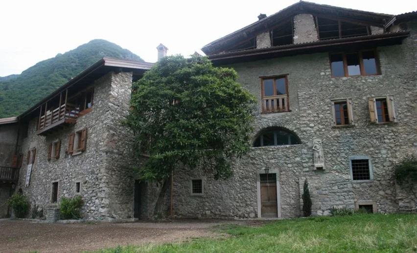
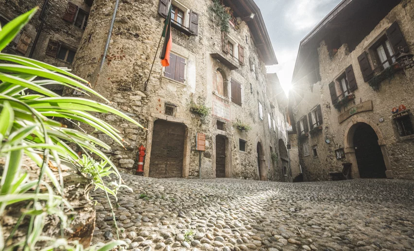
This hike is all about Monte Calino, close to Tenno. It is like a natural balcony overlooking the Busa, as locals call the Basso Sarca plain, and lake Garda.

The hike is all through natural surroundings: first it winds up through the steep hillside farmland around Tenno and Calvola with its typical drystone walls. It then plunges into the woods where the vegetation changes with the altitude. You have to stop off at the mountain hut Rifugio San Pietro which is the main focus of the hike and serves excellent food and rest.
Adjacent to the mountain hut San Pietro there's a tiny, old church, once a hermitage and pilgrimage point. 

The hike can be shortened by cutting out the steep climb from Tenno and leaving the car at the junction for Ranciom/Treni where you can park for free. This eliminates most of the uphill section and turns the hike into a relaxing walk in the woods.

Further information and useful links

For more information on routes, services (guides, mountain huts, shops etc.) and hiking friendly accommodation: Garda Trentino - +39 0464 554444

details
  • Scenic
  • Summit route
  • Round trip
  • Refreshment stops available
Route info
Intermediate
Route number
Distance
11,1 km
Duration
4 h 52 min
Altitude difference (+)
715 m
Altitude difference (-)
715 m
Physical effort
Scenary
Highest point
1.073 m
Lowest point
454 m
Suggestions

With a short detour from Calvola, you can reach Canale di Tenno, one of the most beautiful villages of Italy. 

The trail SAT 401 is part of the Sentiero Frassati del Trentino, a hiking trail inaugurated by the local SAT (Trento Mountaineering Association) in 2011 and named after Blessed Pier Giorgio Frassati, which connects the sanctuary of Madonna delle Grazie in Arco with the sanctuary of San Romedio in Val di Non. In total 100km and 4600 metres of elevation gain which can be hiked in 6/7 days without any technical difficulties. For further information (in Italian) and the complete track go to the website of SAT - Società degli Alpinisti Tridentini.

You might be interested in
Discover related tours
View towards Monte Carone | © Staff Outdoor Garda Trentino AC, Garda Trentino
Difficult
Ledro
Ledro Alps Trek Alpiedi - Leg 2: from Tremalzo to Bivacco Arcioni
Distance 23,7 km
Duration 8 h 00 min
Altitude difference (+) 1.138 m
Altitude difference (-) 2.021 m
Status
open
Val Algone, running happy | © Fototeca Trentino Sviluppo foto di P. Fiorini, North Lake Garda Trentino
Intermediate
Comano
Malga Movlina and the XII Apostoli Hut
Distance 11,4 km
Duration 5 h 30 min
Altitude difference (+) 932 m
Altitude difference (-) 932 m
Status
open
Alpine pasture | © Staff Outdoor Garda Trentino AC, Garda Trentino
Intermediate
Ledro
Around Monte Tremalzo
Distance 12,1 km
Duration 6 h 00 min
Altitude difference (+) 879 m
Altitude difference (-) 887 m
Status
open
At dawn on Monte Altissimo | © Archivio Garda Trentino (ph. Watchsome), Garda Trentino
Intermediate
Torbole sul Garda - Nago, Surroundings
From Nago to the summit of Monte Altissimo
Distance 8,6 km
Duration 4 h 00 min
Altitude difference (+) 761 m
Altitude difference (-) 762 m
Status
open
View from Segrom | © Archivio APT Garda Trentino, North Lake Garda Trentino
Intermediate
Torbole sul Garda - Nago, Arco, Riva del Garda
Garda Trek - Medium Loop 4: From Bolognano to Riva del Garda
Distance 23,1 km
Duration 8 h 25 min
Altitude difference (+) 953 m
Altitude difference (-) 1.045 m
Status
open
The mountain hut Rifugio San Pietro | © Archivio APT Garda Trentino (ph. Promovideo), North Lake Garda Trentino
Difficult
Riva del Garda, Tenno
GardaTrek Medium Loop 1: from Riva del Garda to Rifugio San Pietro
Distance 17,2 km
Duration 7 h 30 min
Altitude difference (+) 1.356 m
Altitude difference (-) 489 m
Status
open